Distance between  Leadville and
  Currawarna
251.44 mi Straight Distance
329.41 mi Driving Distance
6 hours 2 mins Estimated Driving Time
The straight distance between Leadville (New South Wales) and Currawarna (New South Wales) is 251.44 mi, but the driving distance is 329.41 mi.
It takes to go from Leadville to Currawarna.
Driving directions from Leadville to Currawarna
Distance in kilometers
Straight distance: 404.56 km. Route distance: 530.02 km
Leadville, Australia
Latitude: -32.015 // Longitude: 149.553
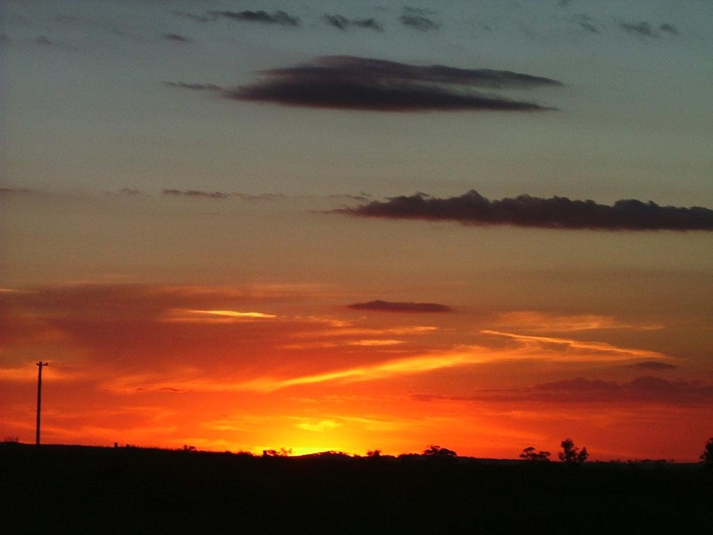
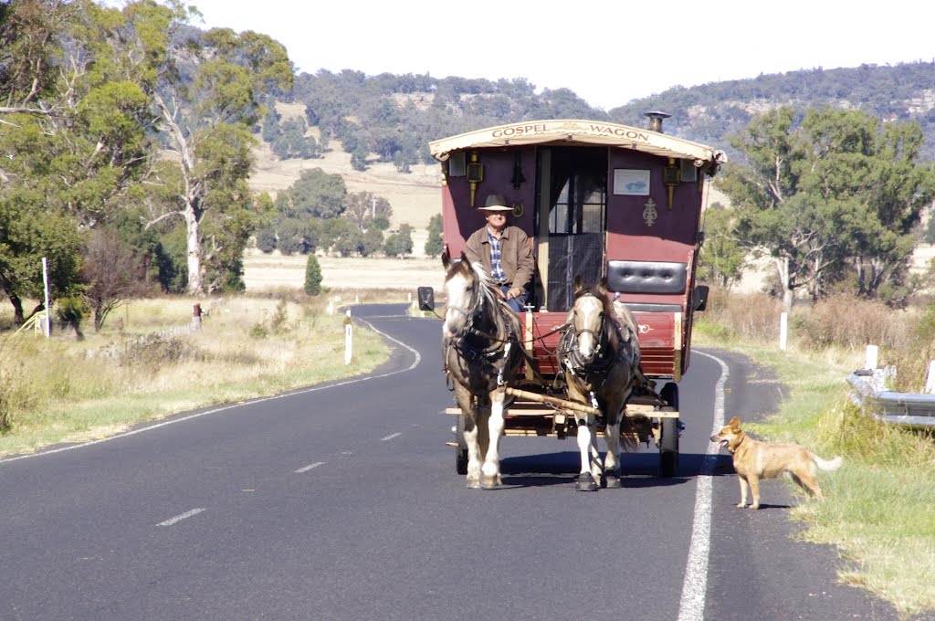
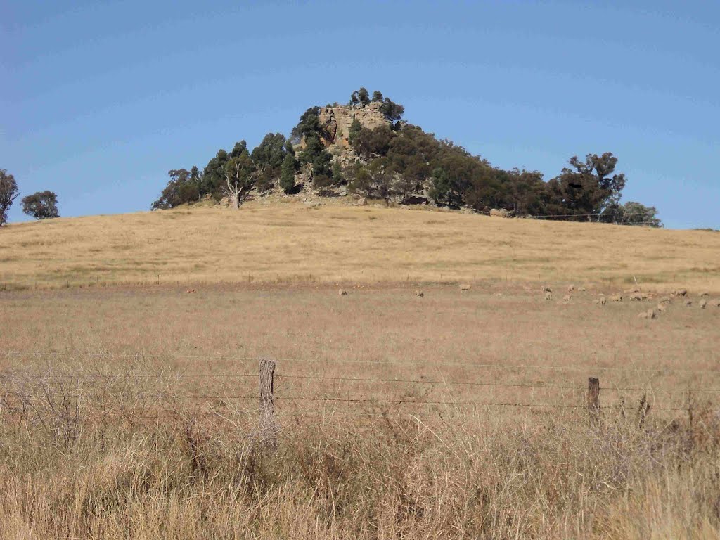
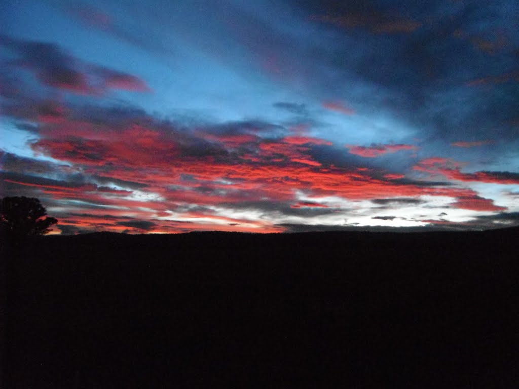
Photos of Leadville
Leadville Weather

Predicción: Clear sky
Temperatura: 8.8°
Humedad: 71%
Hora actual: 12:00 AM
Amanece: 08:25 PM
Anochece: 07:36 AM
Currawarna, Australia
Latitude: -35.014 // Longitude: 147.08
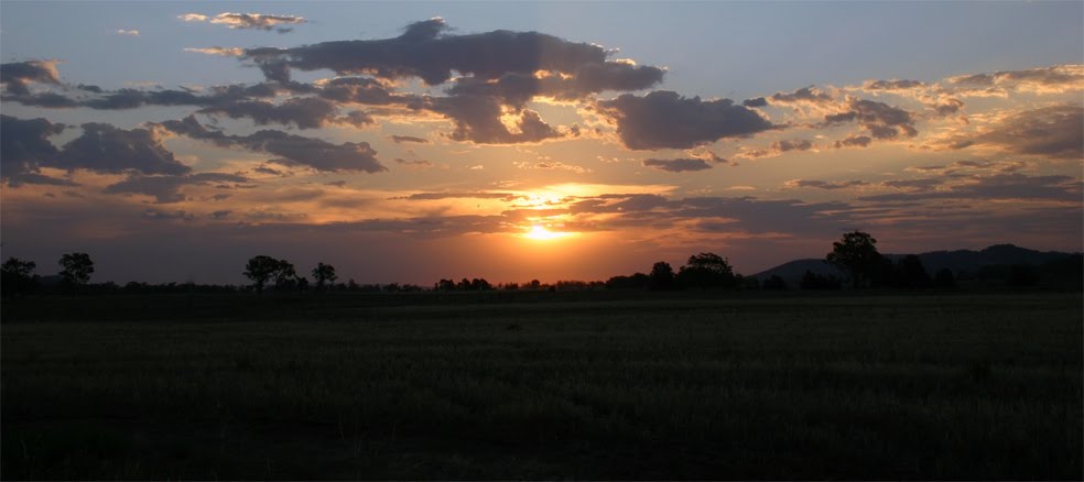
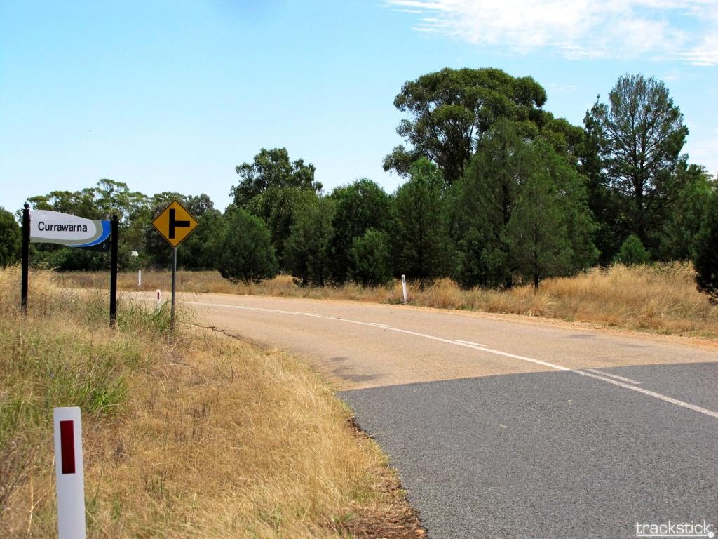
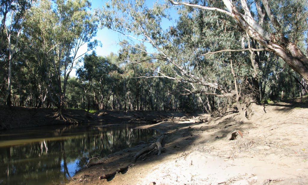
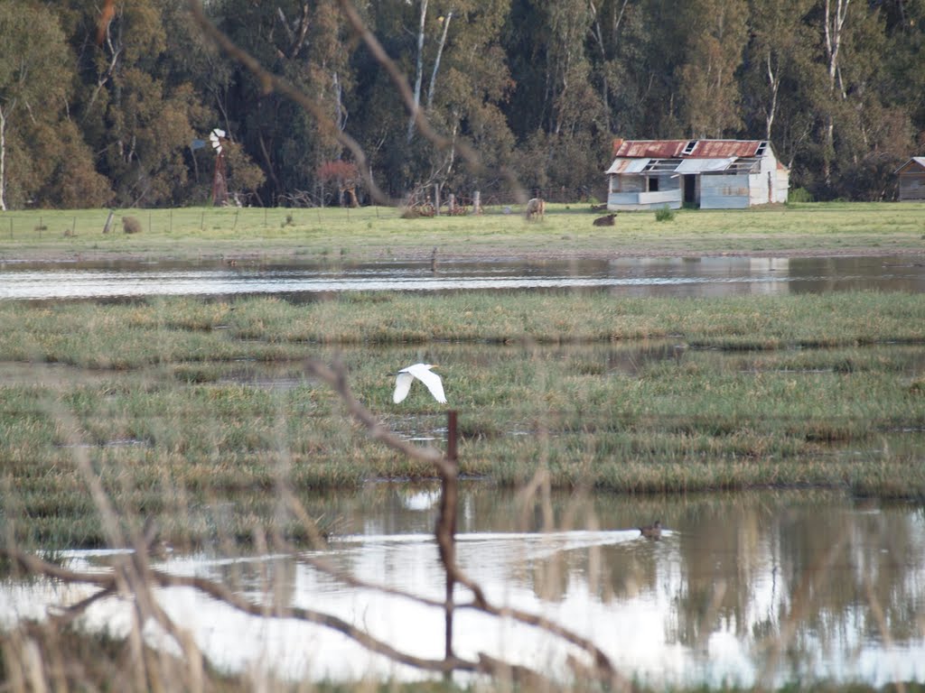
Photos of Currawarna
Currawarna Weather

Predicción: Broken clouds
Temperatura: 10.7°
Humedad: 63%
Hora actual: 12:00 AM
Amanece: 08:38 PM
Anochece: 07:43 AM


