Distance between  Lamplough and
  Darkbonee
73.90 mi Straight Distance
111.05 mi Driving Distance
1 hour 58 mins Estimated Driving Time
The straight distance between Lamplough (Victoria) and Darkbonee (Victoria) is 73.90 mi, but the driving distance is 111.05 mi.
It takes to go from Lamplough to Darkbonee.
Driving directions from Lamplough to Darkbonee
Distance in kilometers
Straight distance: 118.90 km. Route distance: 178.67 km
Lamplough, Australia
Latitude: -37.1364 // Longitude: 143.508
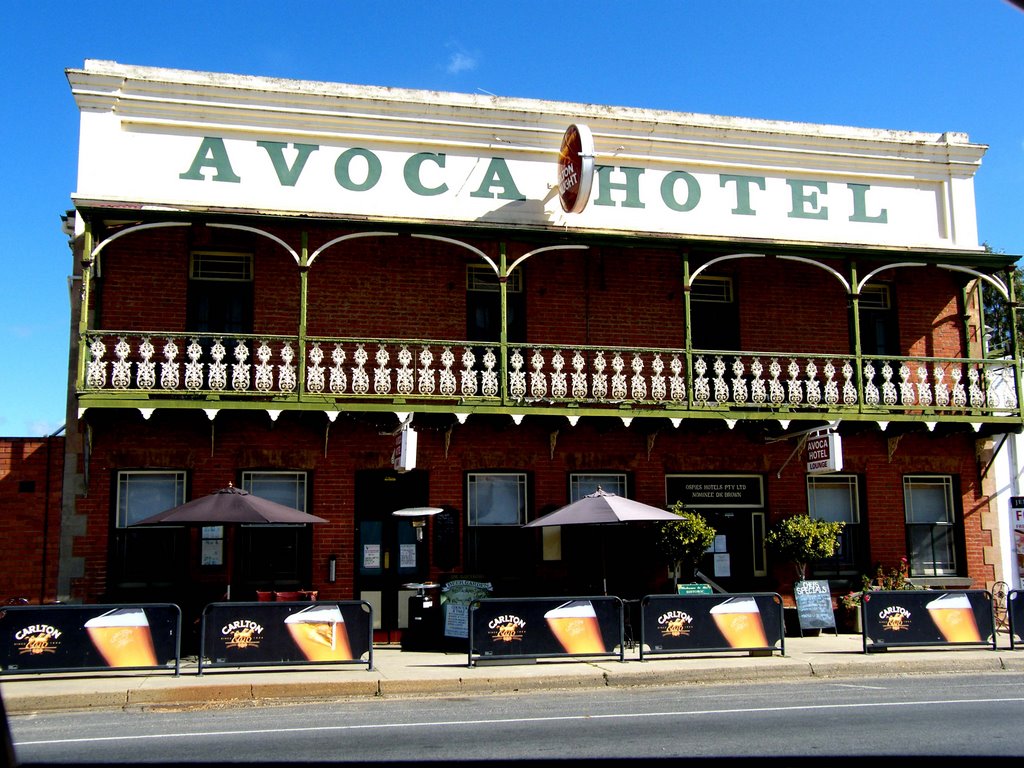
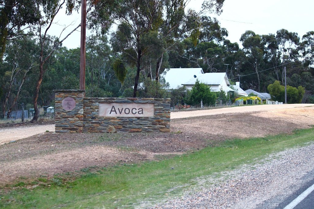
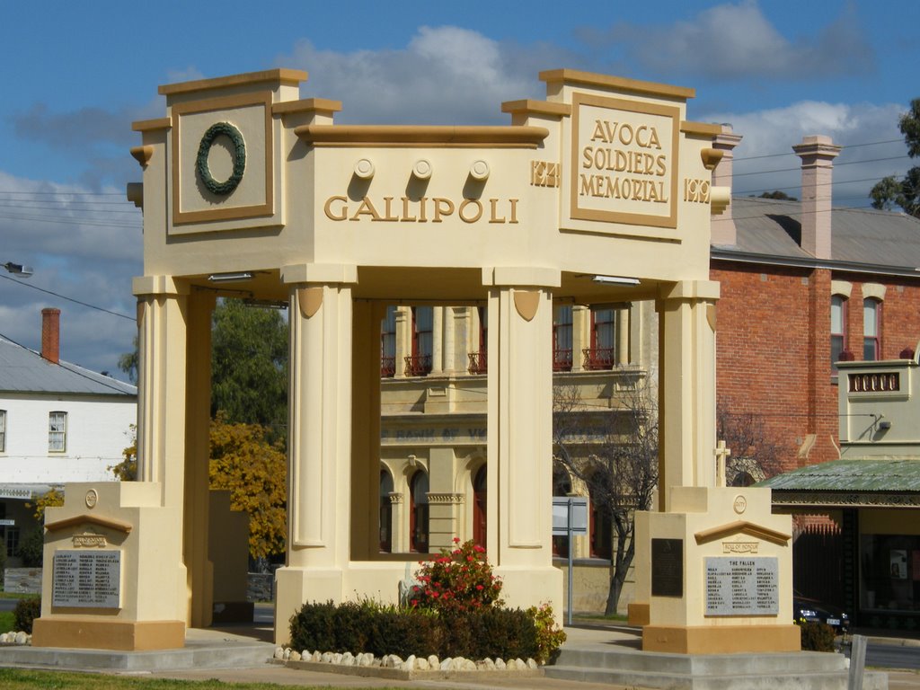
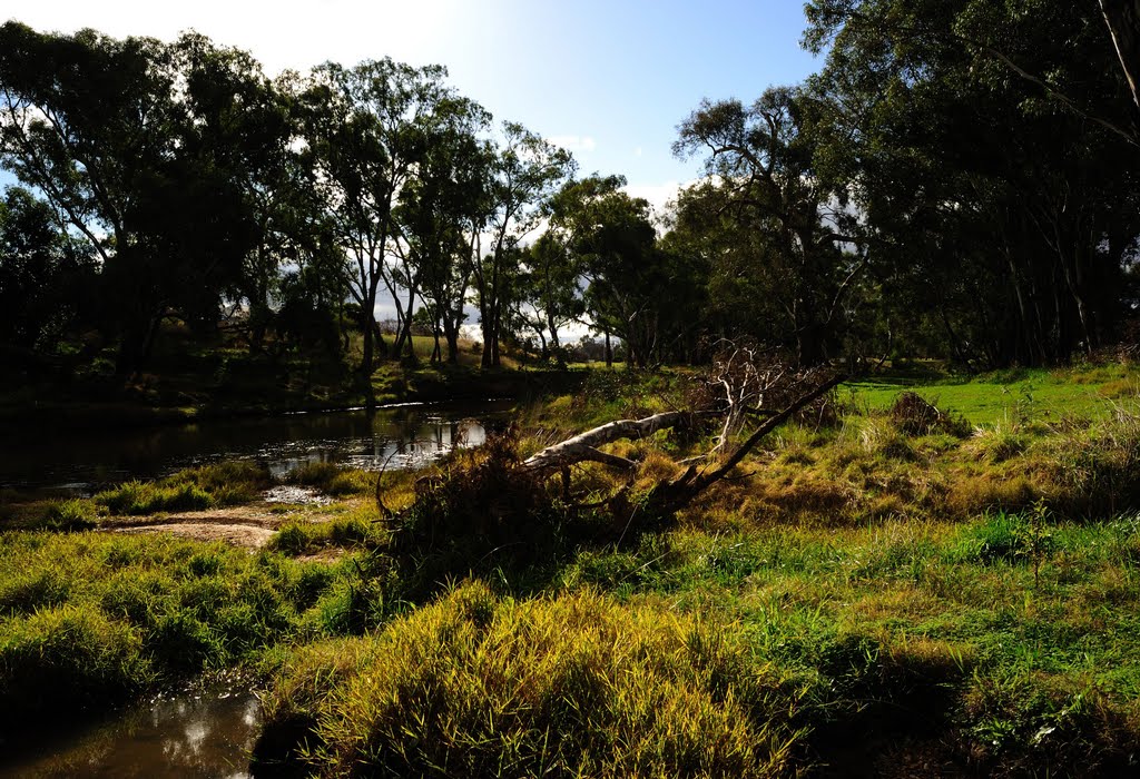
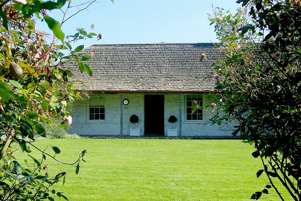
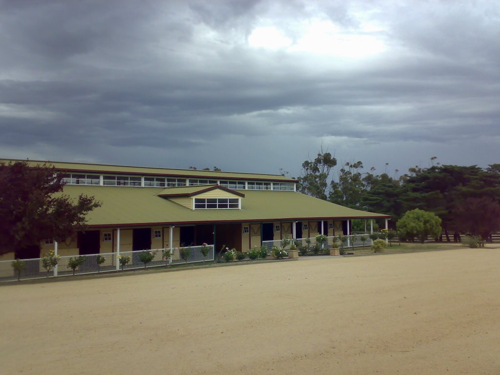
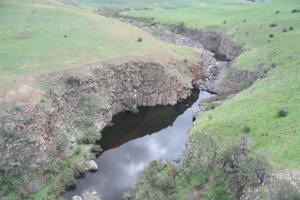
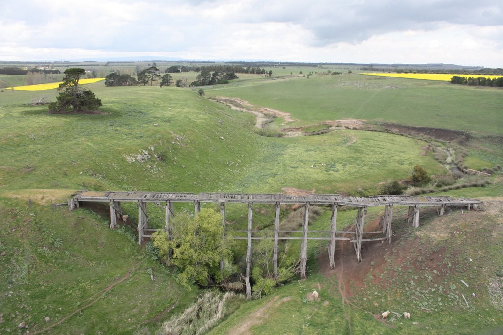
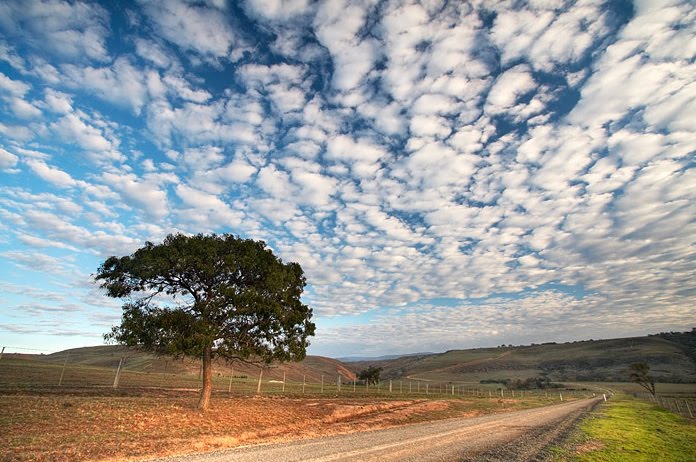
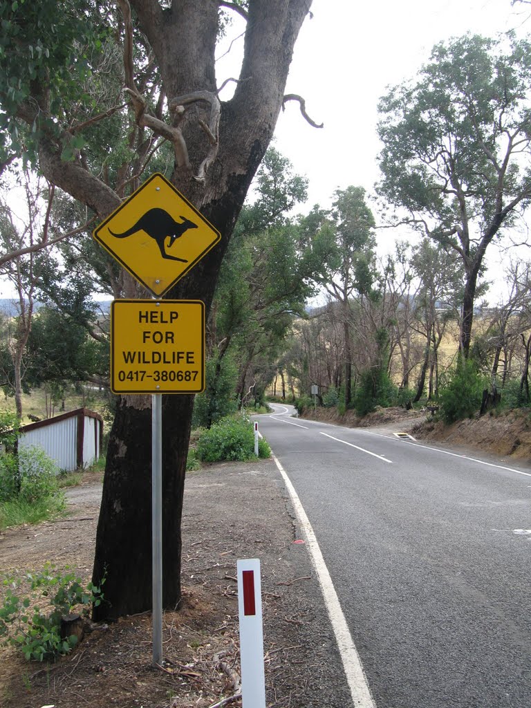
Photos of Lamplough
Lamplough Weather

Predicción: Broken clouds
Temperatura: 14.7°
Humedad: 55%
Hora actual: 01:14 PM
Amanece: 06:54 AM
Anochece: 05:55 PM
Darkbonee, Australia
Latitude: -37.4713 // Longitude: 144.785
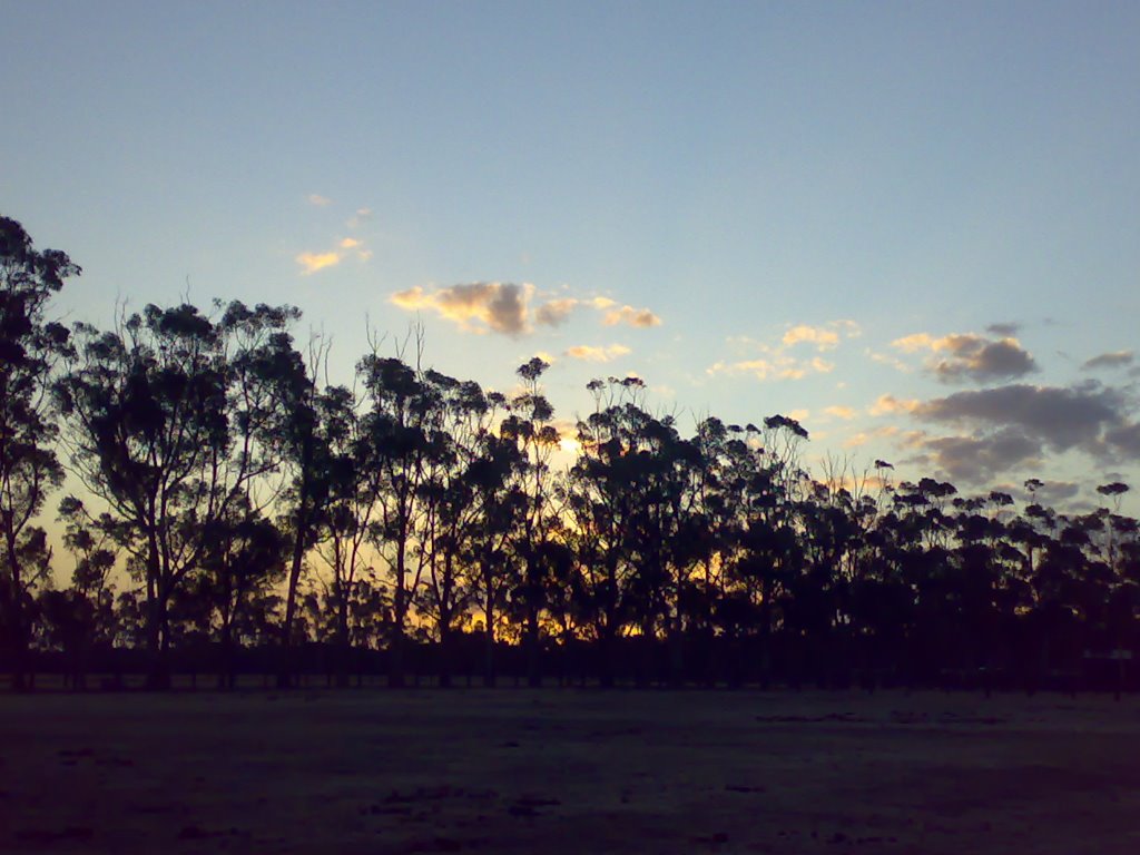
Photos of Darkbonee
Darkbonee Weather

Predicción: Broken clouds
Temperatura: 14.2°
Humedad: 68%
Hora actual: 10:00 AM
Amanece: 06:50 AM
Anochece: 05:50 PM


