Distance between  Smokey Town and
  Iraak
Iraak
862.19 mi Straight Distance
1,171.29 mi Driving Distance
19 hours 2 mins Estimated Driving Time
The straight distance between Smokey Town (Victoria) and Iraak (Victoria) is 862.19 mi, but the driving distance is 1,171.29 mi.
It takes to go from Smokey Town to Iraak.
Driving directions from Smokey Town to Iraak
Distance in kilometers
Straight distance: 1,387.26 km. Route distance: 1,884.61 km
Smokey Town, Australia
Latitude: -24.0326 // Longitude: 150.286
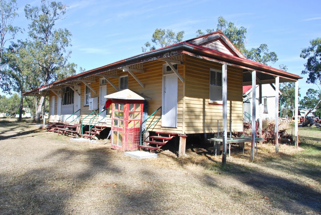
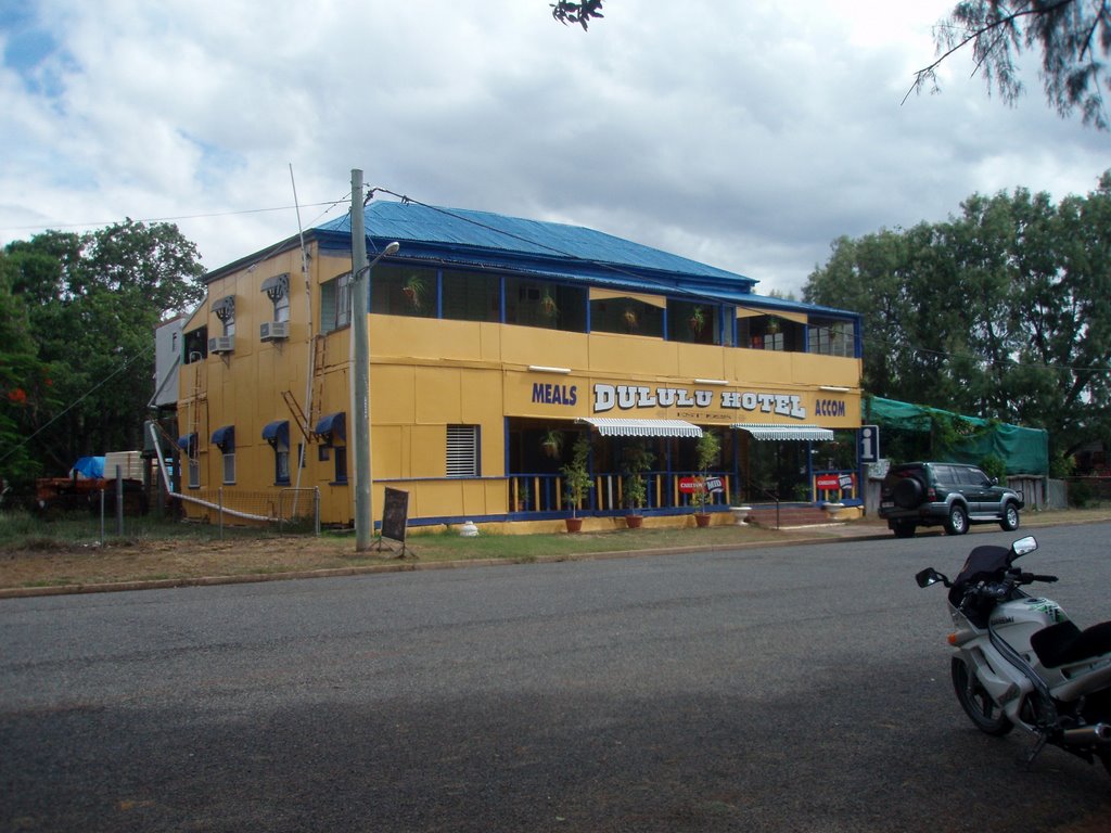
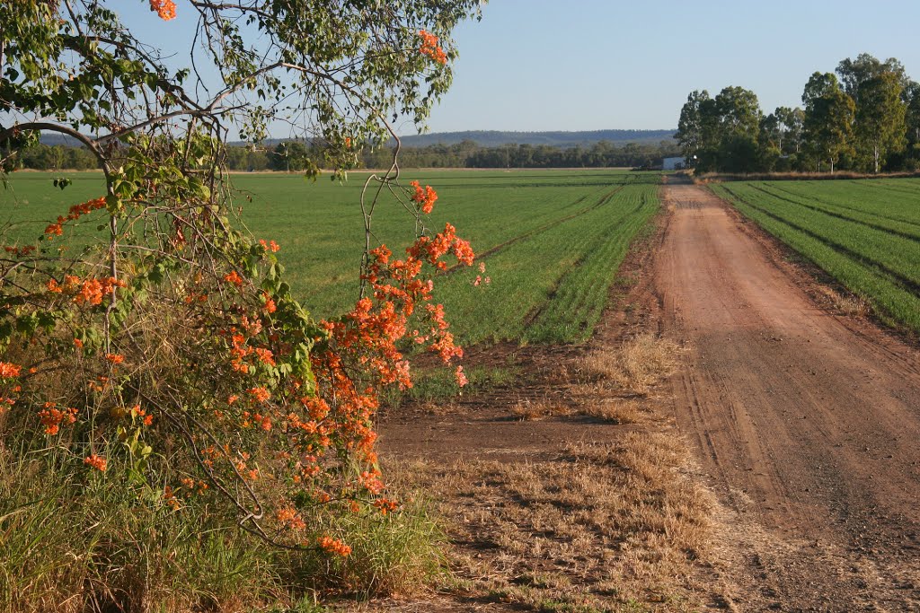
Photos of Smokey Town
Smokey Town Weather

Predicción: Overcast clouds
Temperatura: 24.4°
Humedad: 70%
Hora actual: 12:00 AM
Amanece: 08:14 PM
Anochece: 07:41 AM
Iraak, Australia
Latitude: -34.4291 // Longitude: 142.355
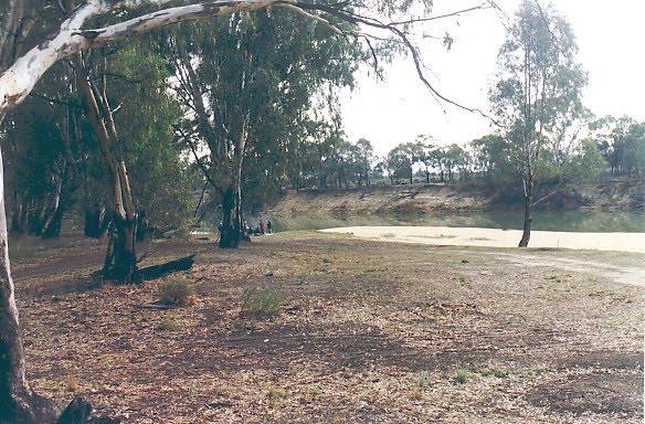
Photos of Iraak
Iraak Weather

Predicción: Scattered clouds
Temperatura: 13.4°
Humedad: 86%
Hora actual: 12:00 AM
Amanece: 08:56 PM
Anochece: 08:03 AM


