Distance between  Lake Powell and
  Valley Heights
441.64 mi Straight Distance
601.81 mi Driving Distance
9 hours 23 mins Estimated Driving Time
The straight distance between Lake Powell (Victoria) and Valley Heights (New South Wales) is 441.64 mi, but the driving distance is 601.81 mi.
It takes to go from Lake Powell to Valley Heights.
Driving directions from Lake Powell to Valley Heights
Distance in kilometers
Straight distance: 710.60 km. Route distance: 968.31 km
Lake Powell, Australia
Latitude: -34.7112 // Longitude: 142.948
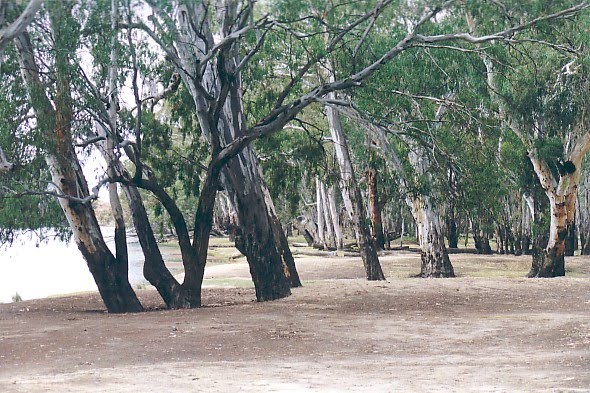
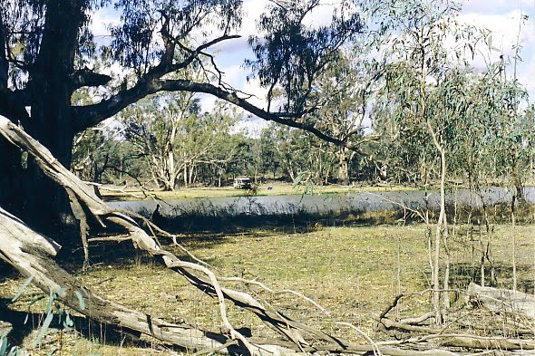
Photos of Lake Powell
Lake Powell Weather

Predicción: Clear sky
Temperatura: 17.0°
Humedad: 49%
Hora actual: 12:00 AM
Amanece: 08:54 PM
Anochece: 08:00 AM
Valley Heights, Australia
Latitude: -33.7019 // Longitude: 150.582
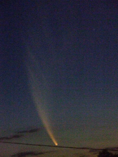
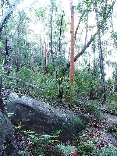
Photos of Valley Heights
Valley Heights Weather

Predicción: Clear sky
Temperatura: 19.2°
Humedad: 83%
Hora actual: 10:52 AM
Amanece: 06:22 AM
Anochece: 05:31 PM


