Distance between  Kurraca West and
  Pental Island
77.96 mi Straight Distance
98.97 mi Driving Distance
1 hour 41 mins Estimated Driving Time
The straight distance between Kurraca West (Victoria) and Pental Island (Victoria) is 77.96 mi, but the driving distance is 98.97 mi.
It takes to go from Kurraca West to Pental Island.
Driving directions from Kurraca West to Pental Island
Distance in kilometers
Straight distance: 125.44 km. Route distance: 159.25 km
Kurraca West, Australia
Latitude: -36.5084 // Longitude: 143.555
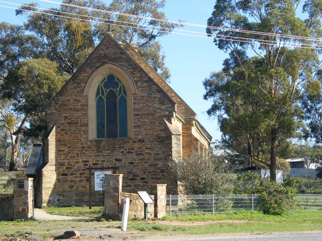
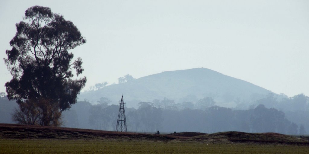
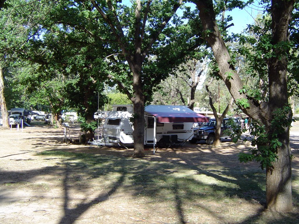
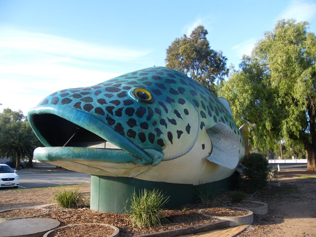
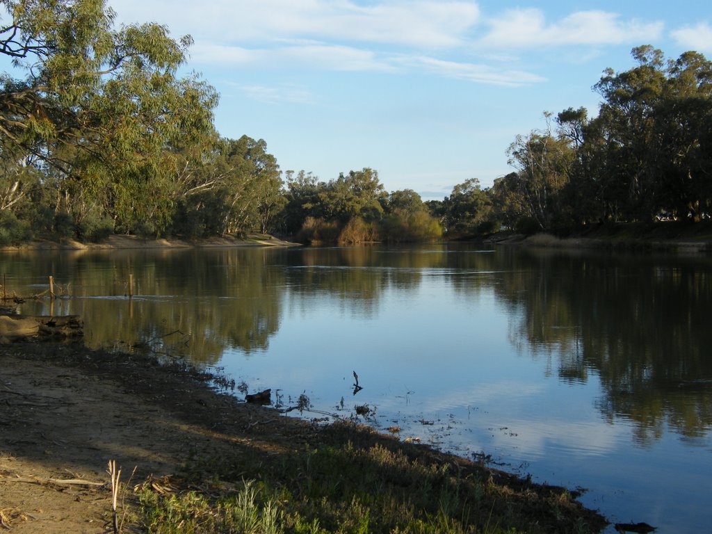
Photos of Kurraca West
Kurraca West Weather

Predicción: Overcast clouds
Temperatura: 12.5°
Humedad: 91%
Hora actual: 12:00 AM
Amanece: 08:54 PM
Anochece: 07:55 AM
Pental Island, Australia
Latitude: -35.3806 // Longitude: 143.6
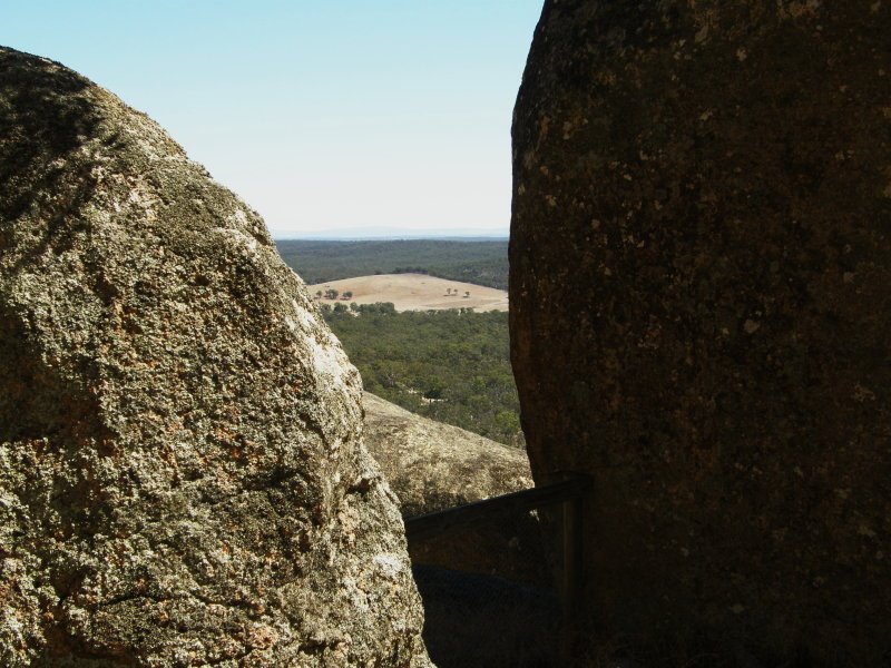
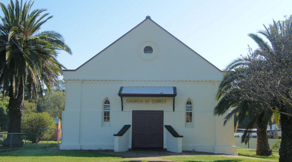
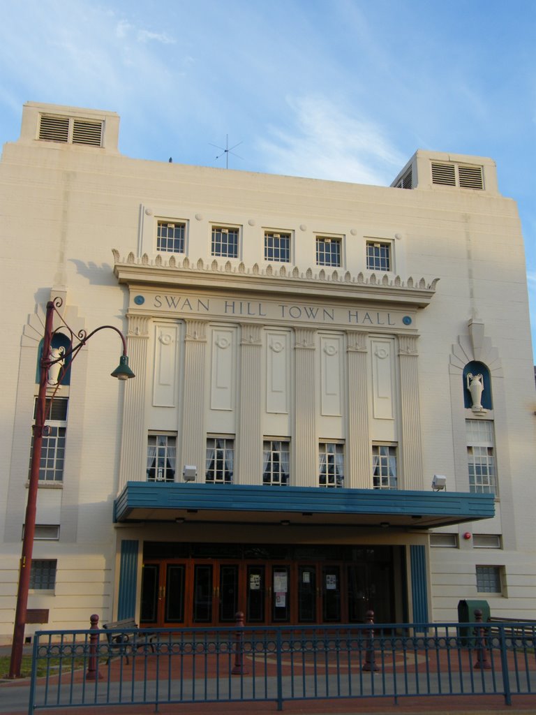
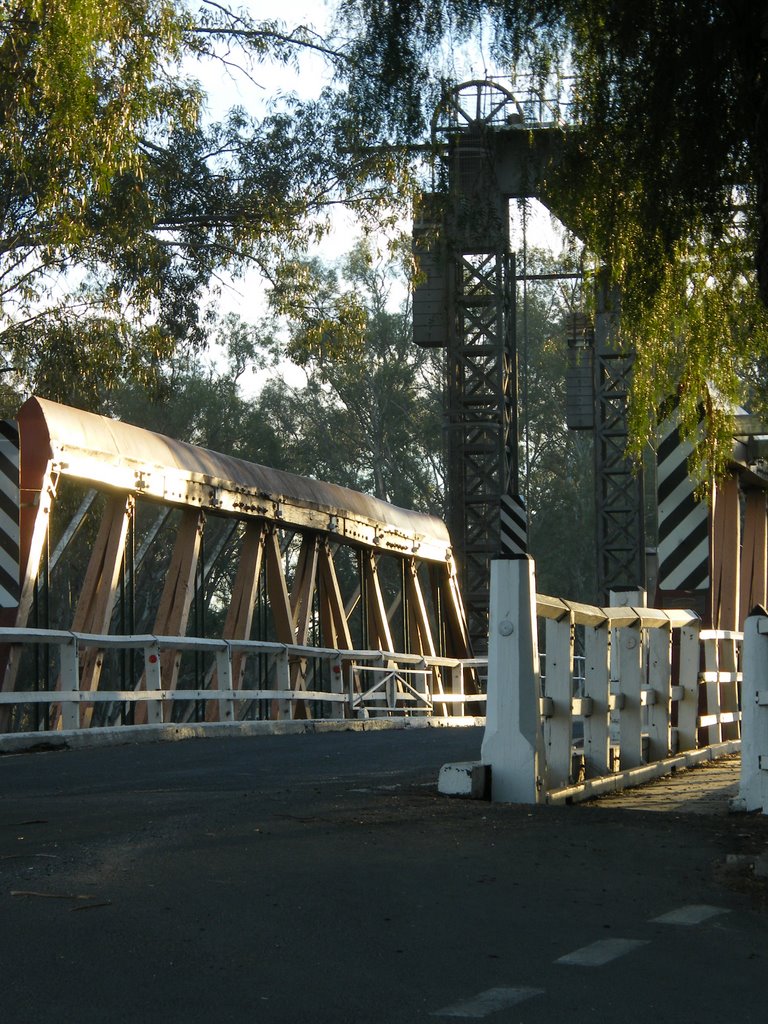
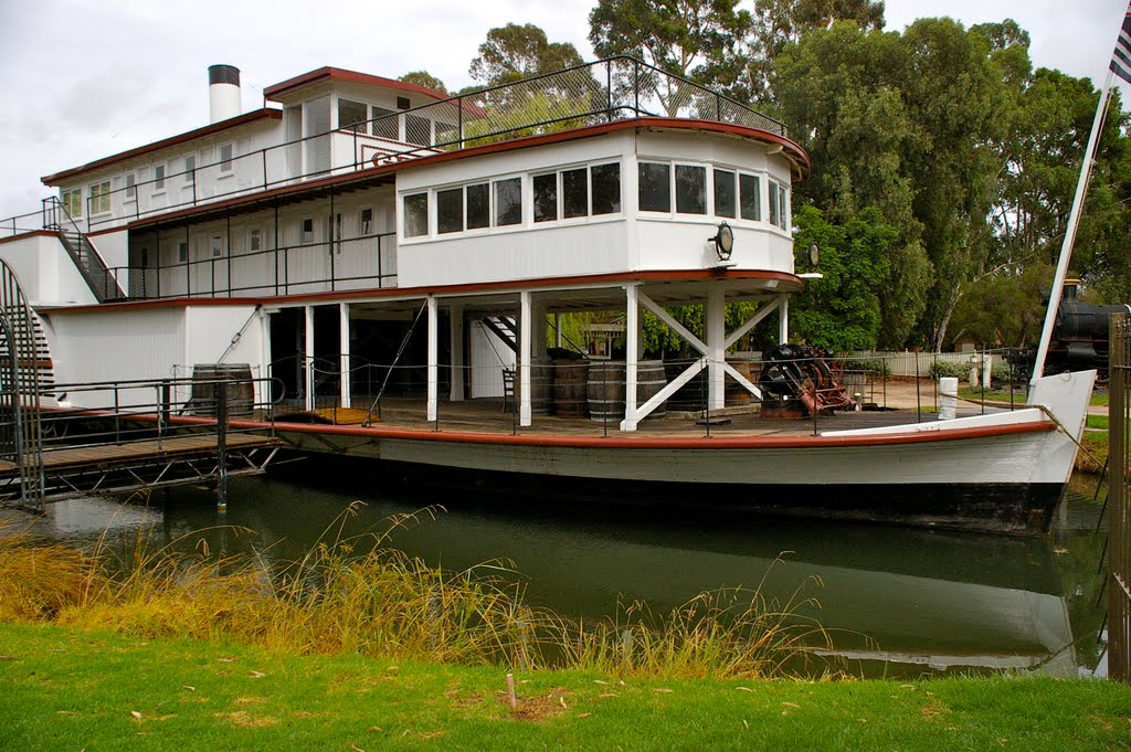
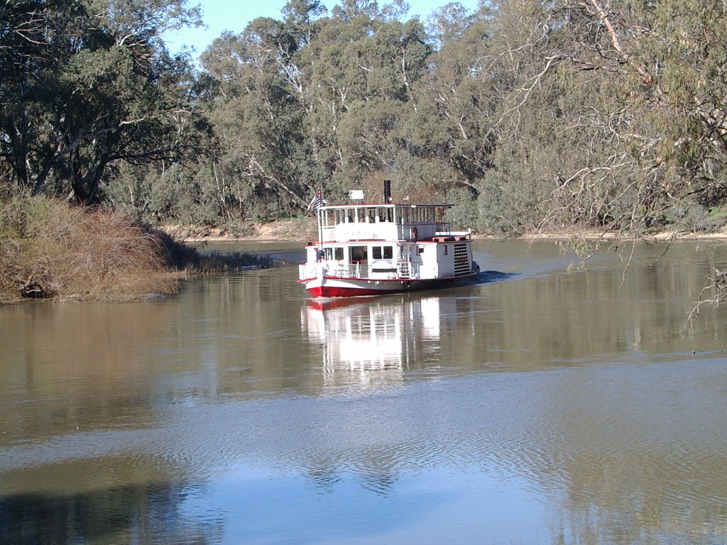
Photos of Pental Island
Pental Island Weather

Predicción: Overcast clouds
Temperatura: 14.3°
Humedad: 78%
Hora actual: 01:07 AM
Amanece: 06:53 AM
Anochece: 05:56 PM


