Distance between  Kuranda and
  Woodanilling
2,097.53 mi Straight Distance
2,982.46 mi Driving Distance
2 days 3 hours Estimated Driving Time
The straight distance between Kuranda (Queensland) and Woodanilling (Western Australia) is 2,097.53 mi, but the driving distance is 2,982.46 mi.
It takes to go from Kuranda to Woodanilling.
Driving directions from Kuranda to Woodanilling
Distance in kilometers
Straight distance: 3,374.93 km. Route distance: 4,798.78 km
Kuranda, Australia
Latitude: -16.8189 // Longitude: 145.636
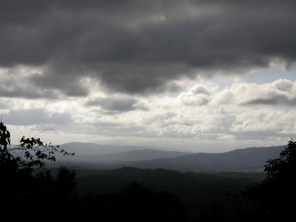
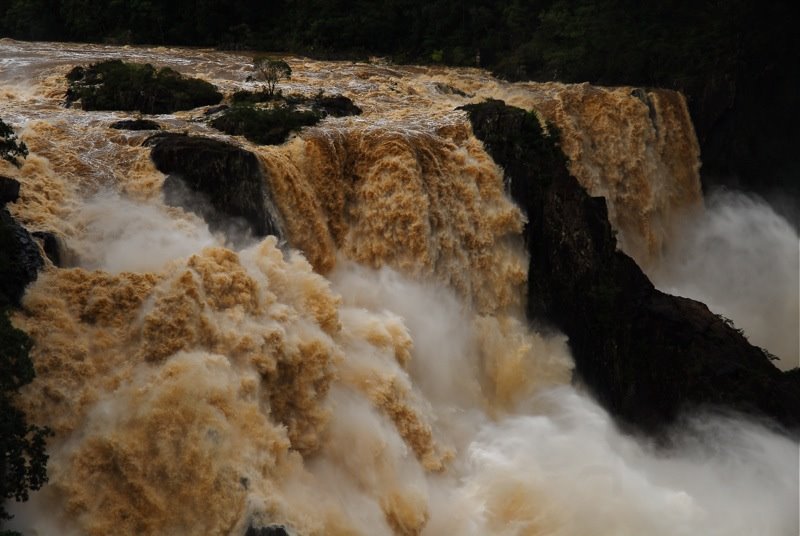
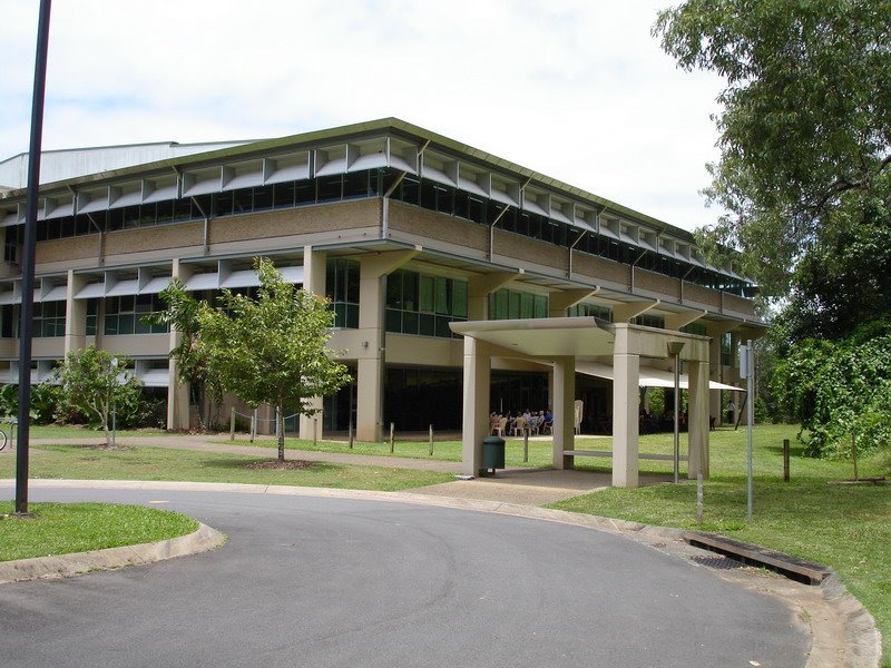
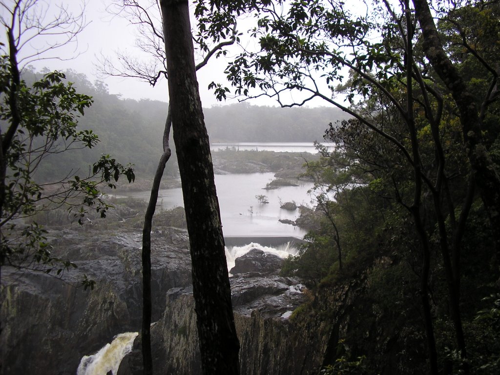
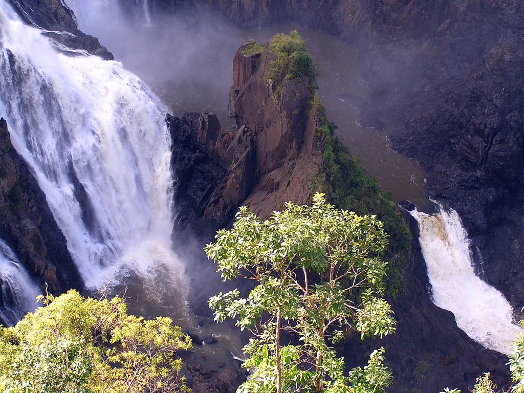
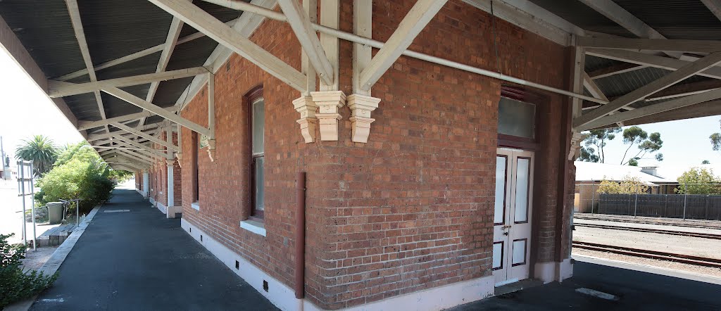
Photos of Kuranda
Kuranda Weather

Predicción: Overcast clouds
Temperatura: 25.8°
Humedad: 78%
Hora actual: 10:34 AM
Amanece: 06:26 AM
Anochece: 06:06 PM
Woodanilling, Australia
Latitude: -33.5648 // Longitude: 117.431
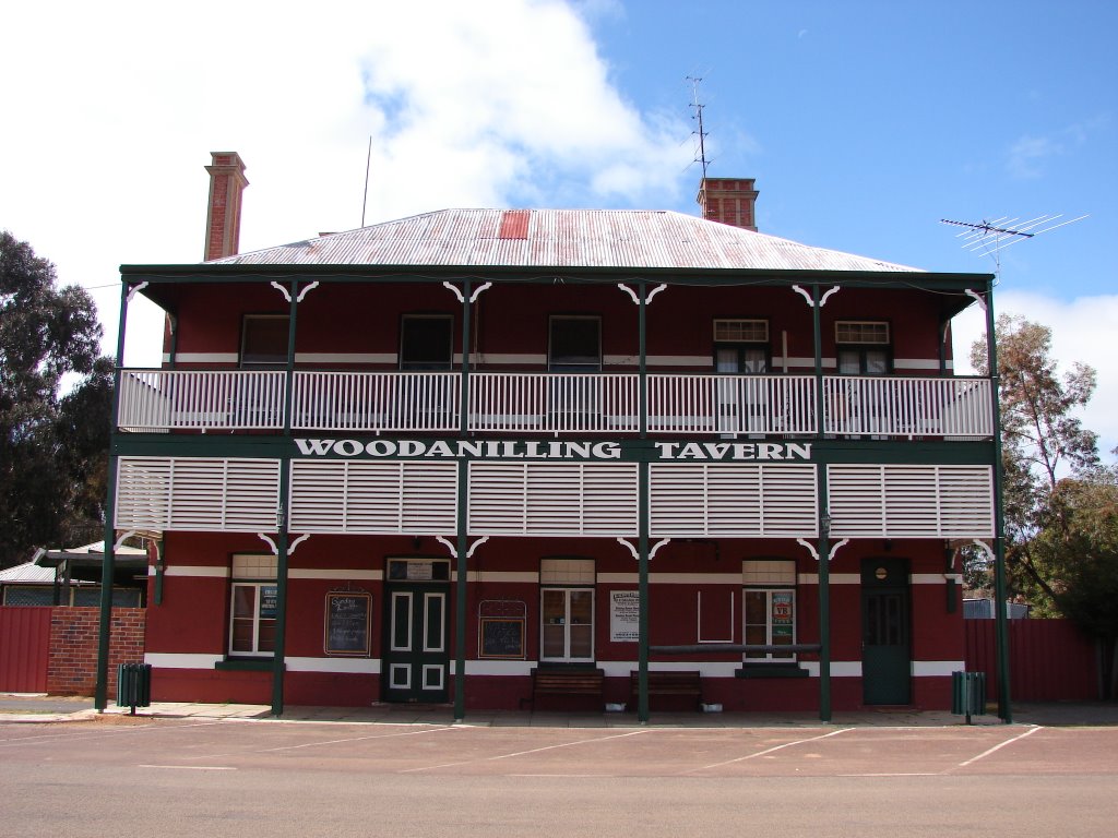
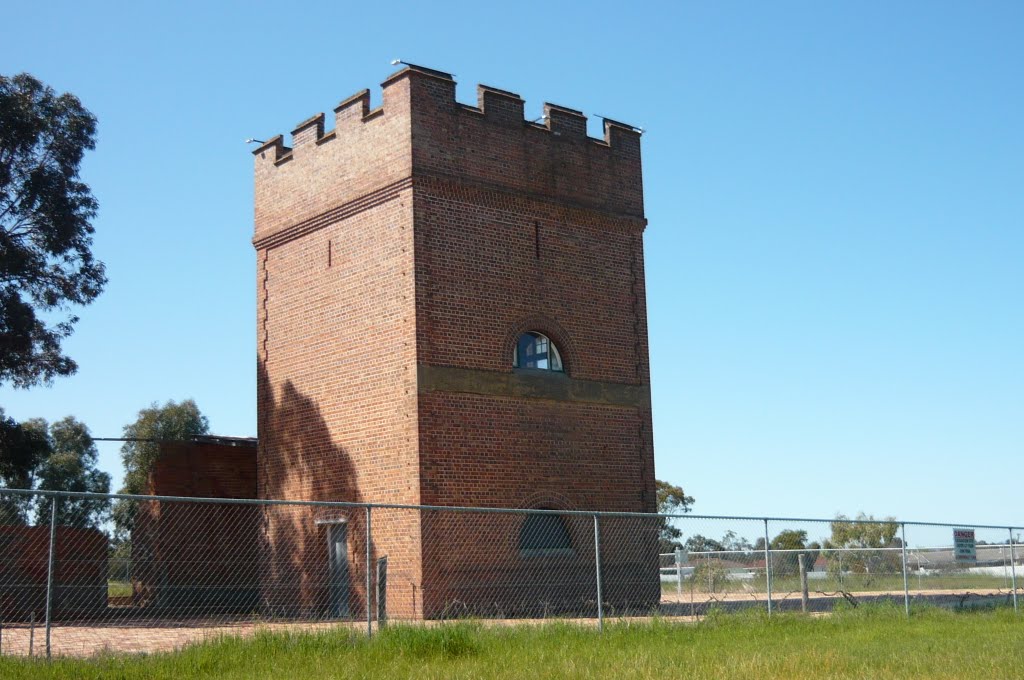
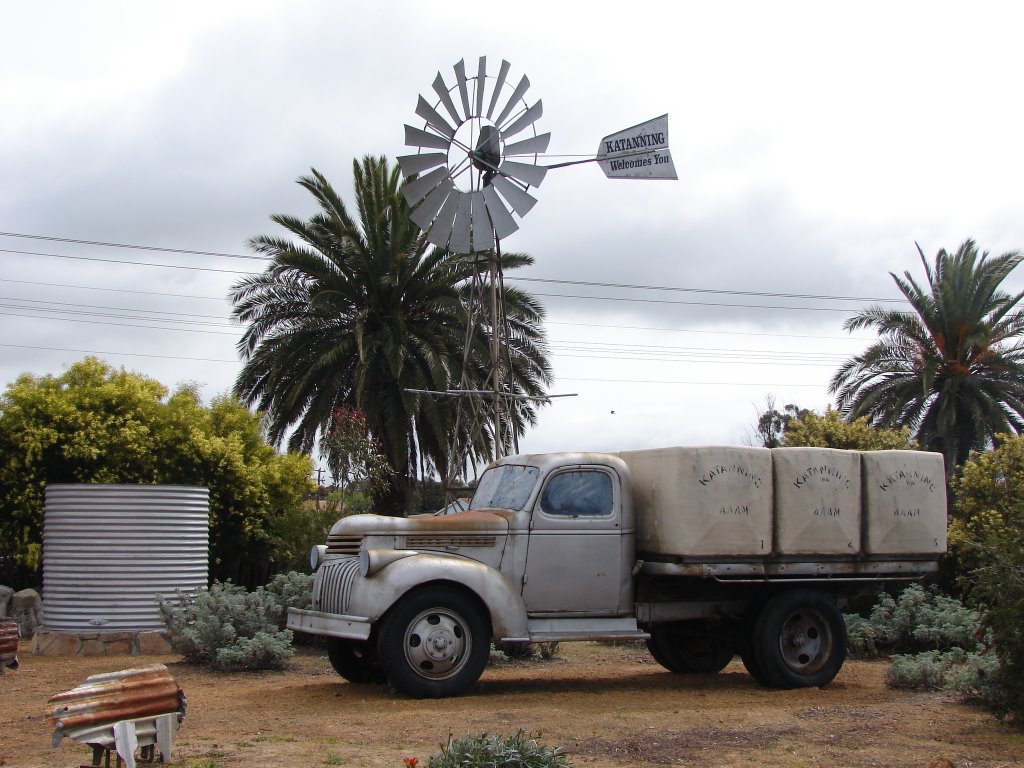
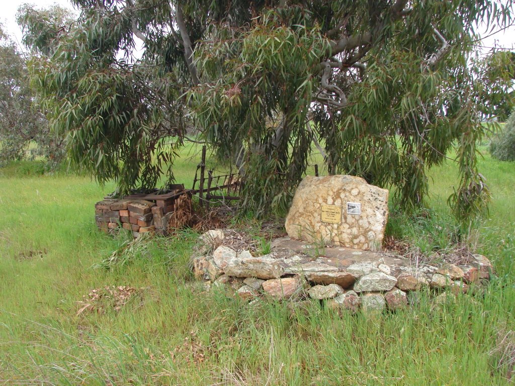
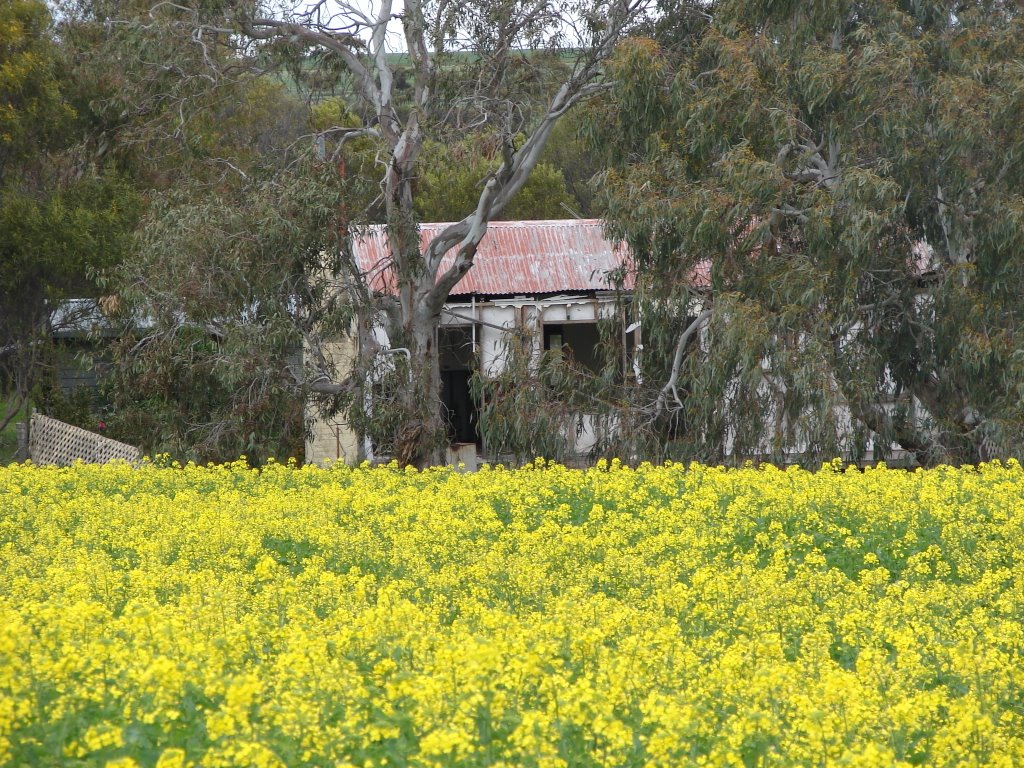
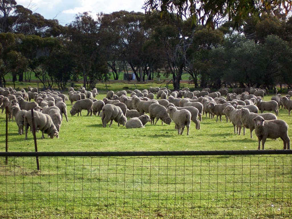
Photos of Woodanilling
Woodanilling Weather

Predicción: Clear sky
Temperatura: 14.5°
Humedad: 100%
Hora actual: 10:00 AM
Amanece: 08:35 AM
Anochece: 07:42 PM


