Distance between  Kununoppin and
  Jarrahwood
227.22 mi Straight Distance
314.52 mi Driving Distance
5 hours 20 mins Estimated Driving Time
The straight distance between Kununoppin (Western Australia) and Jarrahwood (Western Australia) is 227.22 mi, but the driving distance is 314.52 mi.
It takes 5 hours 13 mins to go from Kununoppin to Jarrahwood.
Driving directions from Kununoppin to Jarrahwood
Distance in kilometers
Straight distance: 365.60 km. Route distance: 506.06 km
Kununoppin, Australia
Latitude: -31.1143 // Longitude: 117.922
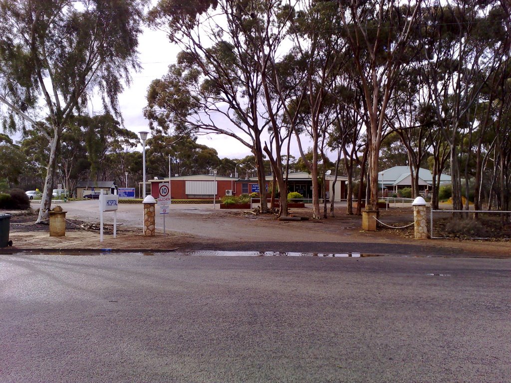
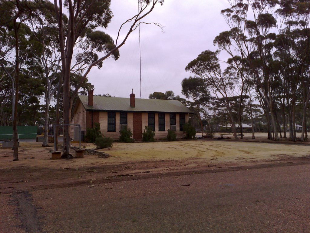
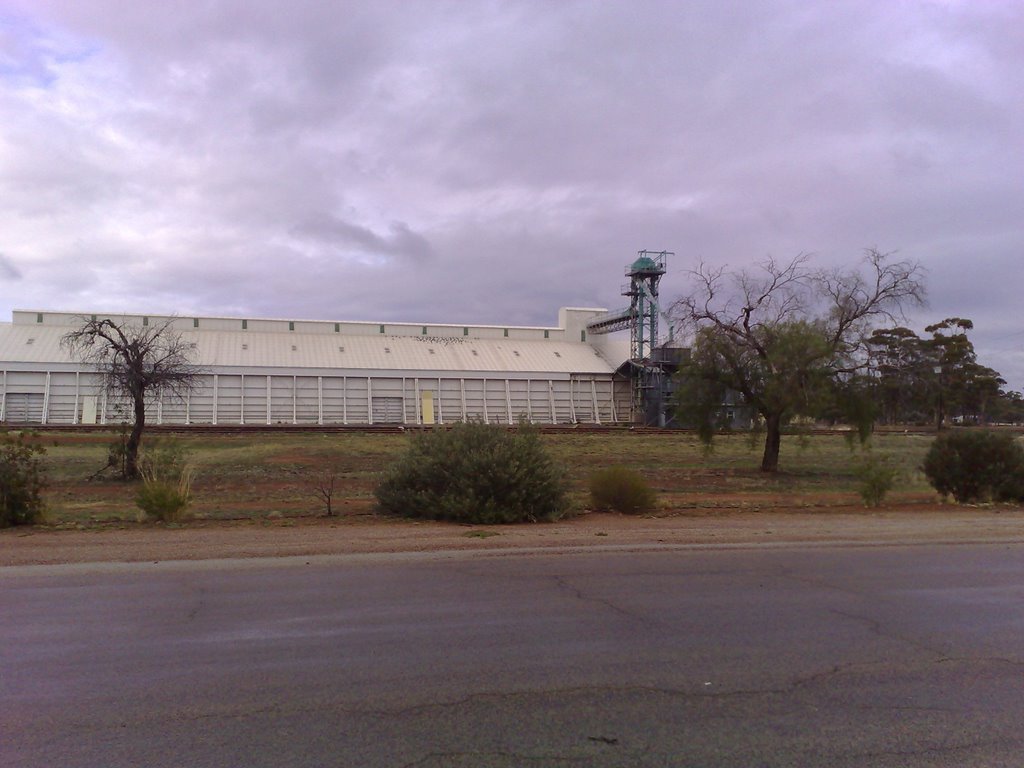
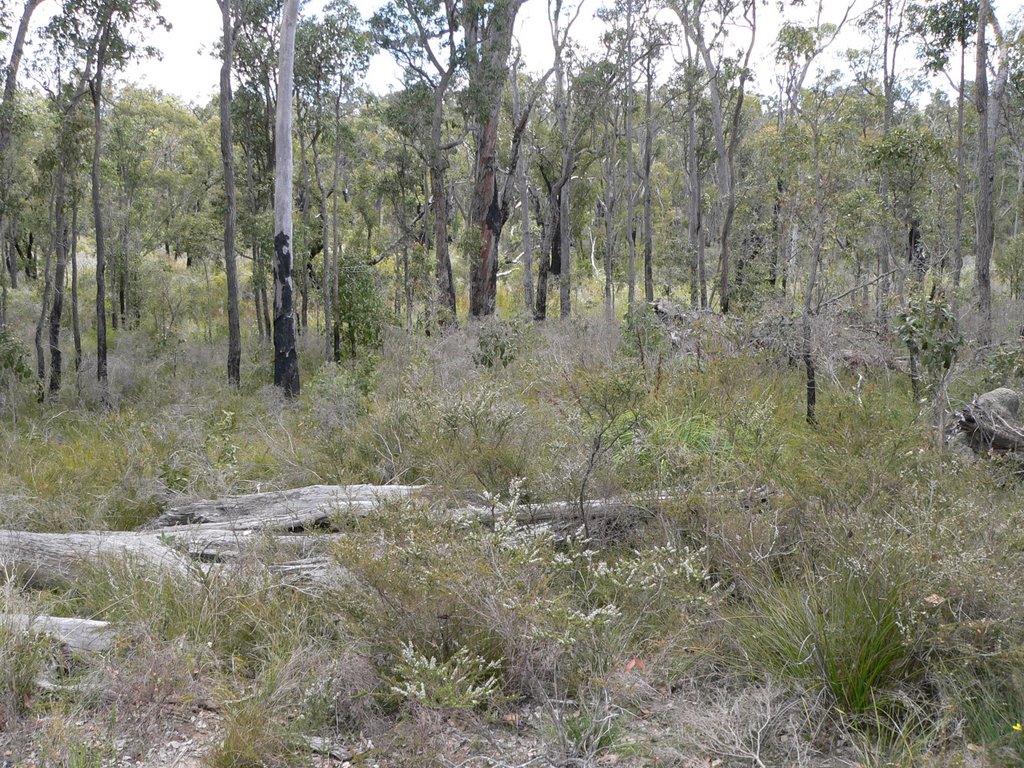
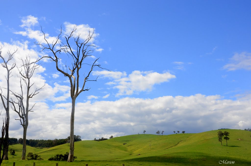
Photos of Kununoppin
Kununoppin Weather

Predicción: Clear sky
Temperatura: 24.3°
Humedad: 32%
Hora actual: 12:00 AM
Amanece: 10:30 PM
Anochece: 09:44 AM
Jarrahwood, Australia
Latitude: -33.7944 // Longitude: 115.663
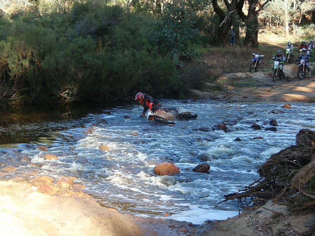
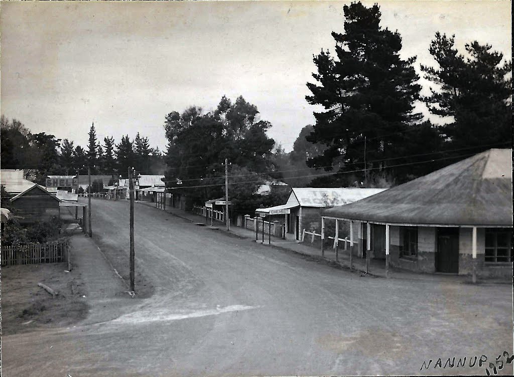
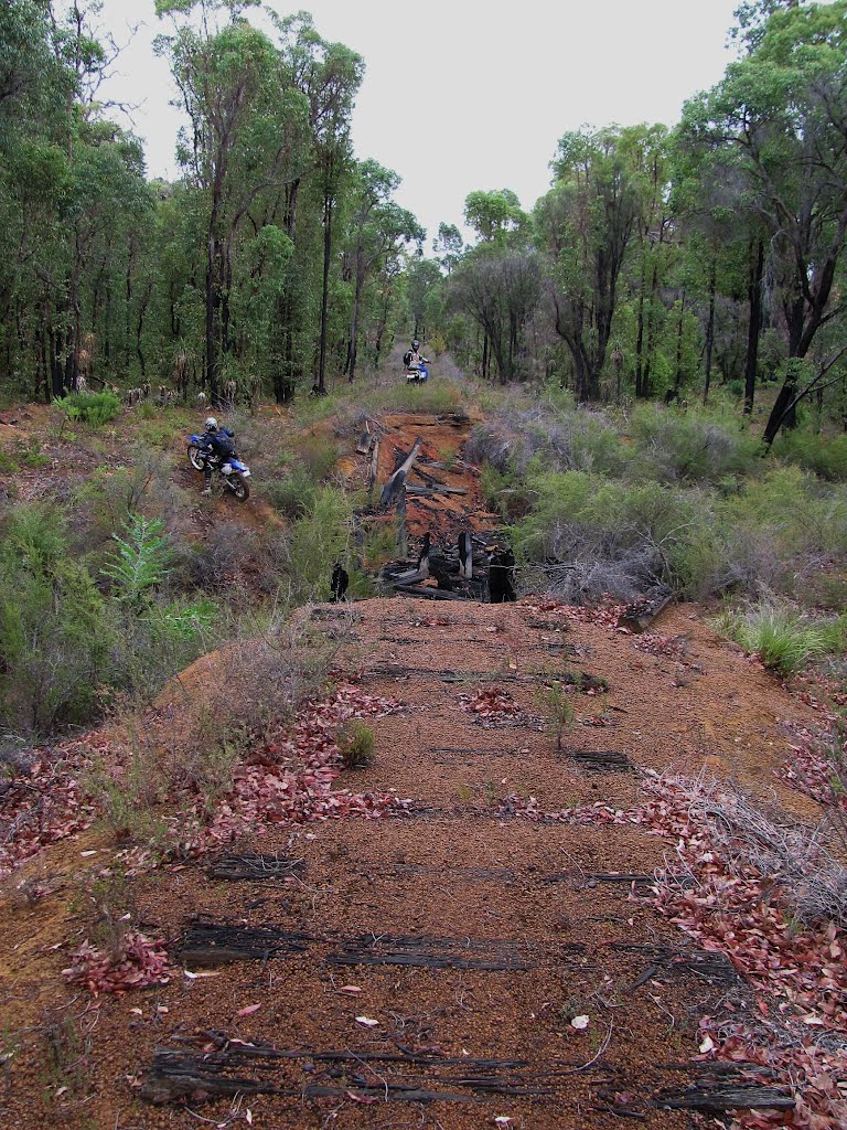
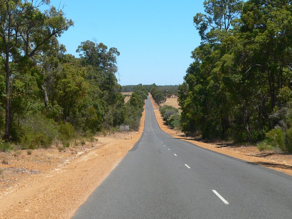
Photos of Jarrahwood
Jarrahwood Weather

Predicción: Clear sky
Temperatura: 24.2°
Humedad: 33%
Hora actual: 12:00 AM
Amanece: 10:42 PM
Anochece: 09:50 AM


