Distance between  Kununoppin and
  Green Head
189.90 mi Straight Distance
320.92 mi Driving Distance
5 hours 28 mins Estimated Driving Time
The straight distance between Kununoppin (Western Australia) and Green Head (Western Australia) is 189.90 mi, but the driving distance is 320.92 mi.
It takes to go from Kununoppin to Green Head.
Driving directions from Kununoppin to Green Head
Distance in kilometers
Straight distance: 305.55 km. Route distance: 516.36 km
Kununoppin, Australia
Latitude: -31.1143 // Longitude: 117.922
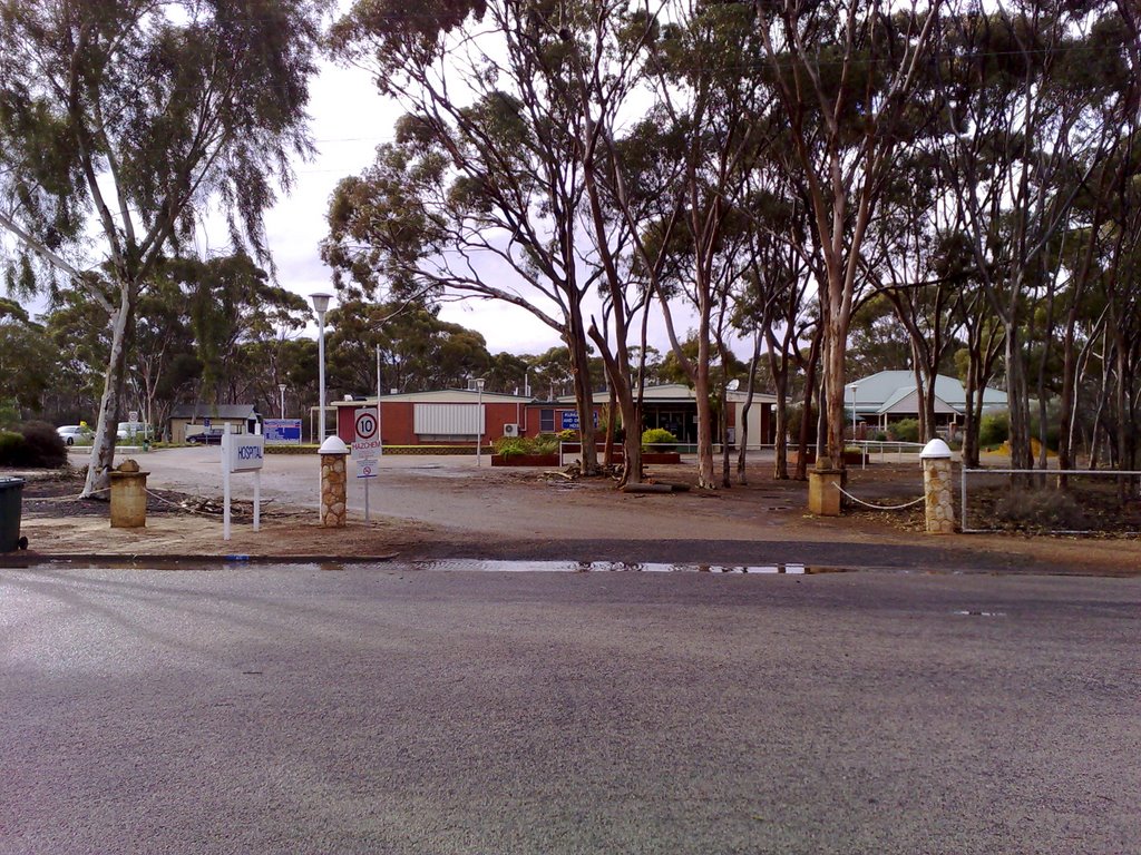
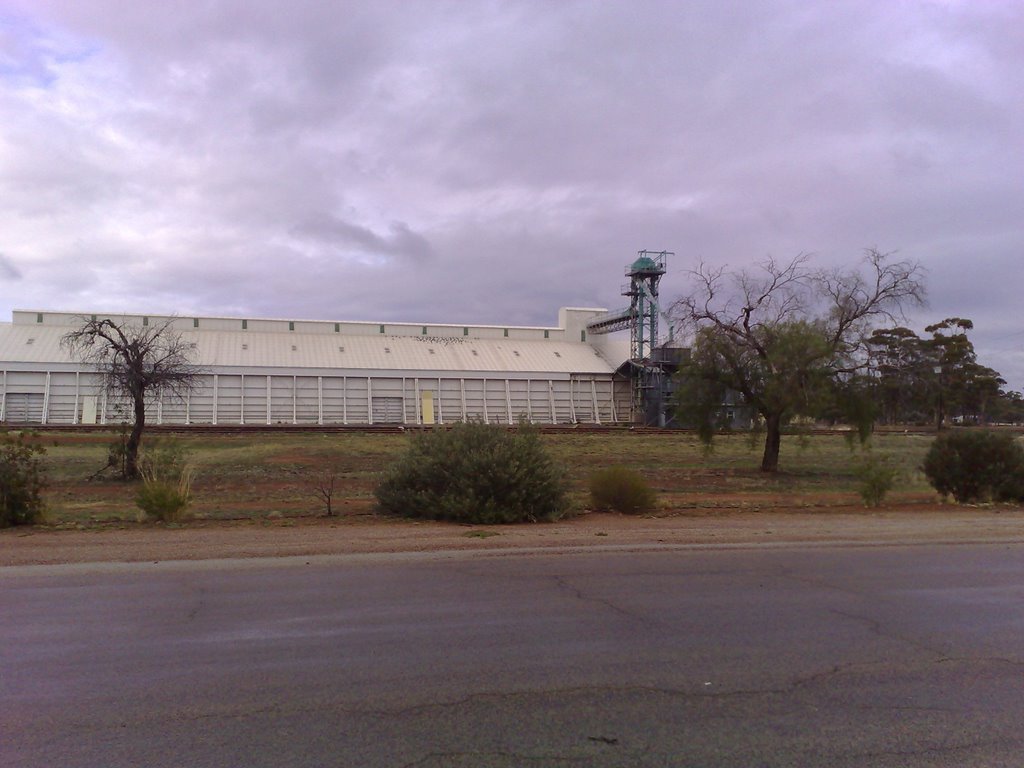
Photos of Kununoppin
Kununoppin Weather

Predicción: Clear sky
Temperatura: 16.0°
Humedad: 44%
Hora actual: 12:00 AM
Amanece: 10:30 PM
Anochece: 09:44 AM
Green Head, Australia
Latitude: -30.0688 // Longitude: 114.969
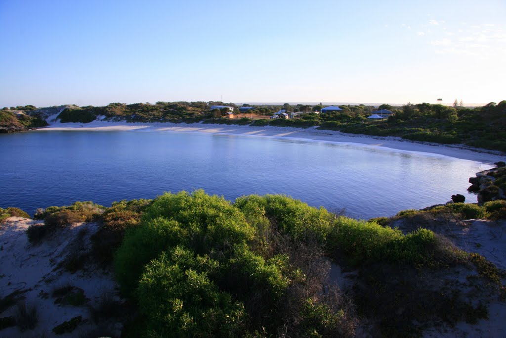
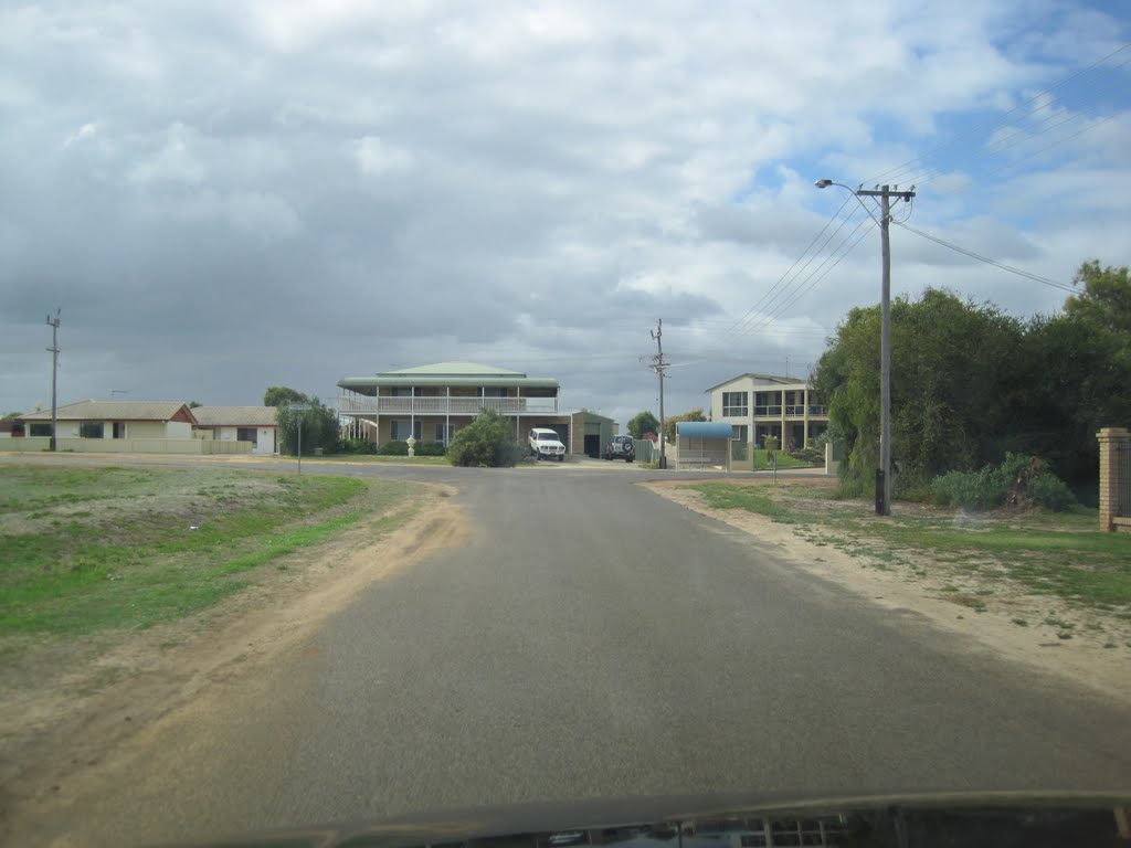
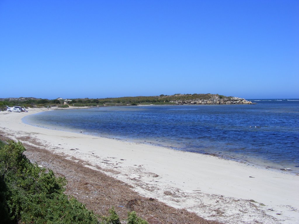
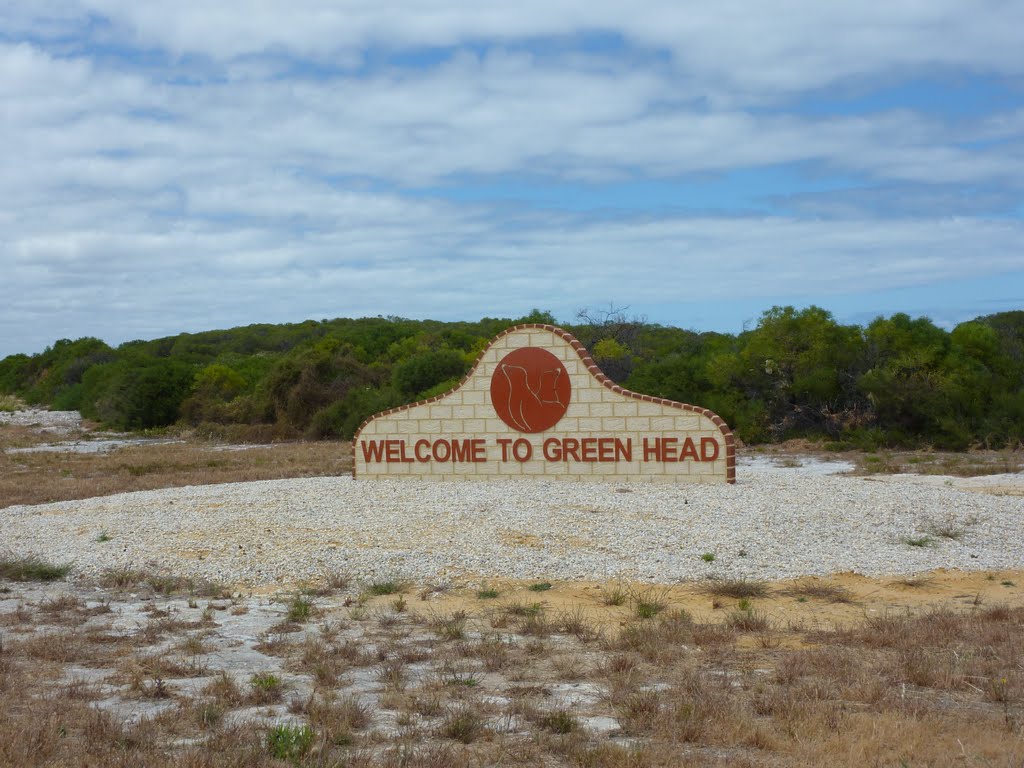
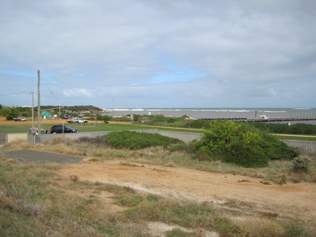
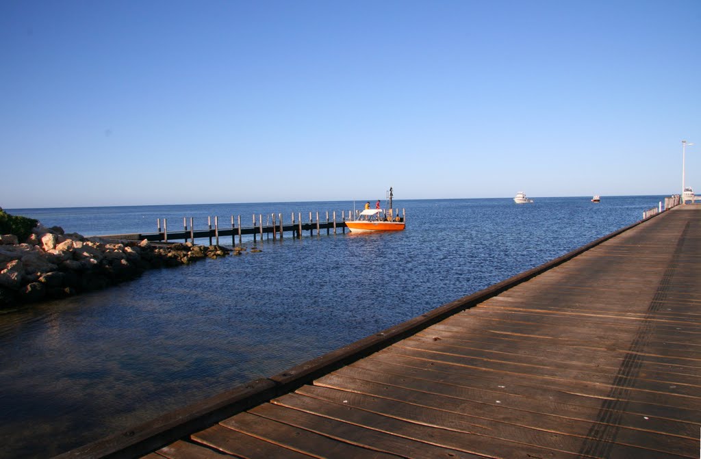
Photos of Green Head
Green Head Weather

Predicción: Clear sky
Temperatura: 23.9°
Humedad: 40%
Hora actual: 02:16 AM
Amanece: 06:41 AM
Anochece: 05:56 PM


