Distance between  Koallah and
  Havelock
98.24 mi Straight Distance
130.69 mi Driving Distance
2 hours 54 mins Estimated Driving Time
The straight distance between Koallah (Victoria) and Havelock (Victoria) is 98.24 mi, but the driving distance is 130.69 mi.
It takes 2 hours 10 mins to go from Koallah to Havelock.
Driving directions from Koallah to Havelock
Distance in kilometers
Straight distance: 158.07 km. Route distance: 210.28 km
Koallah, Australia
Latitude: -38.3189 // Longitude: 143.244
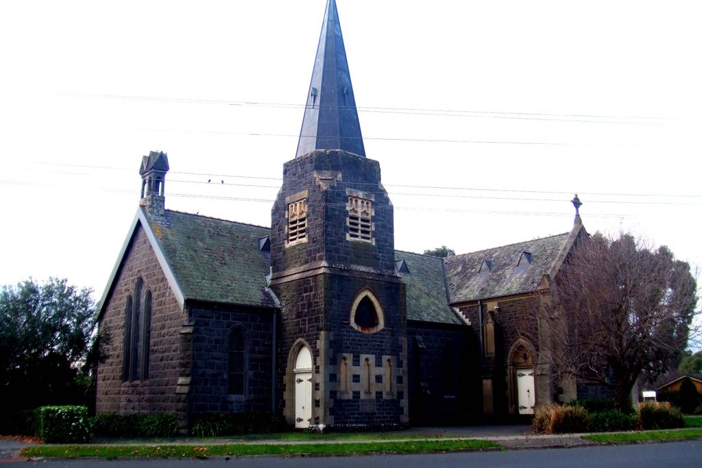
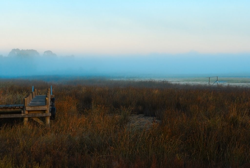
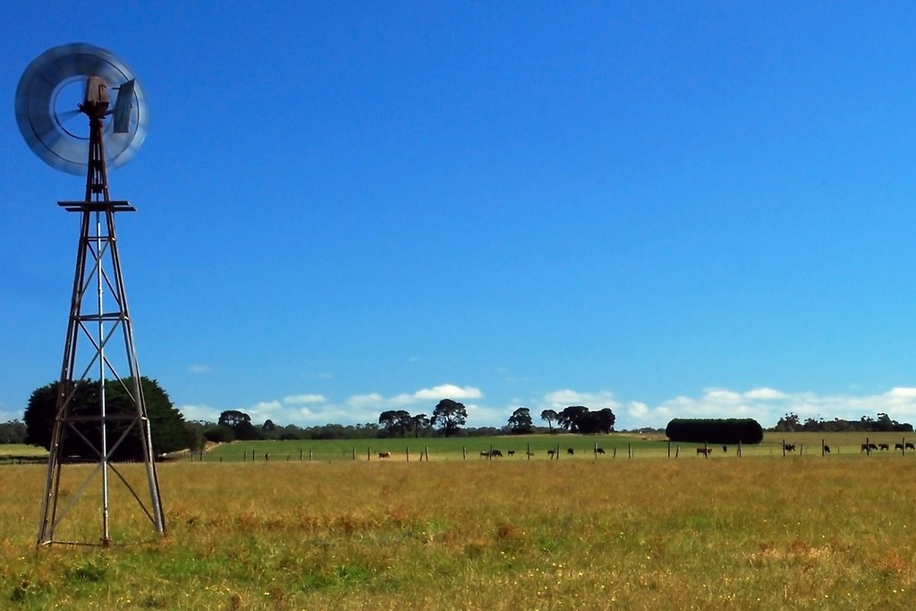
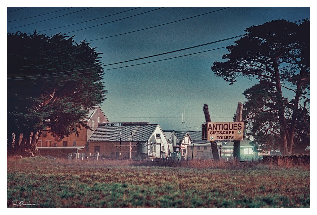
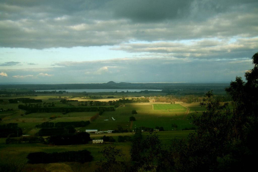
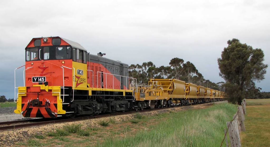
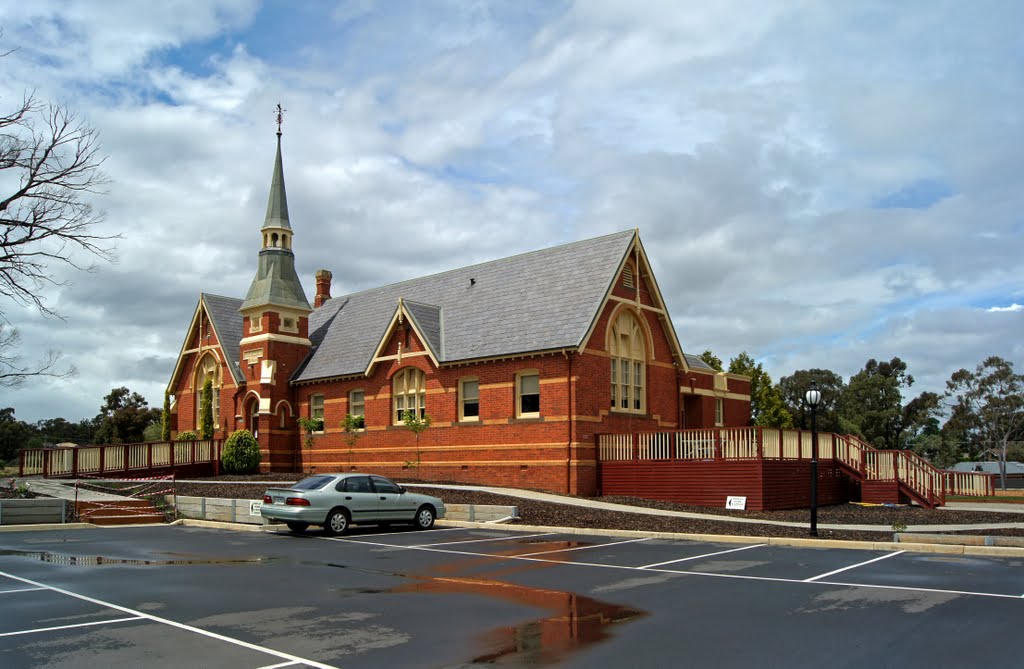
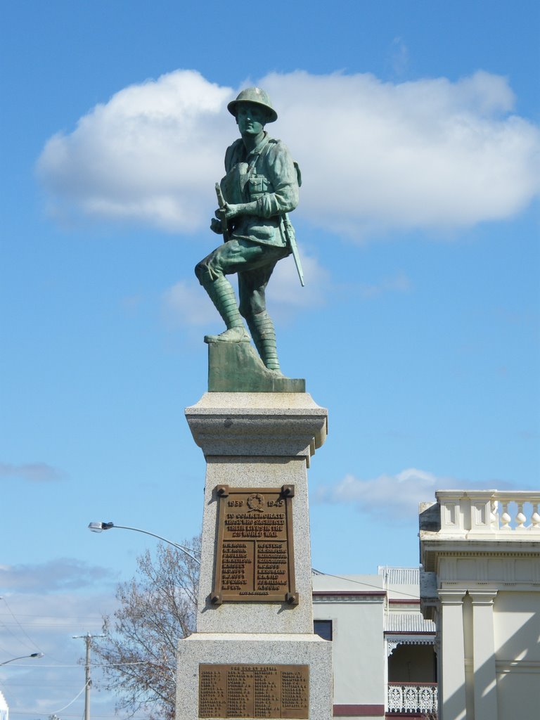
Photos of Koallah
Koallah Weather

Predicción: Overcast clouds
Temperatura: 10.9°
Humedad: 97%
Hora actual: 12:00 AM
Amanece: 08:55 PM
Anochece: 07:57 AM
Havelock, Australia
Latitude: -36.9601 // Longitude: 143.773
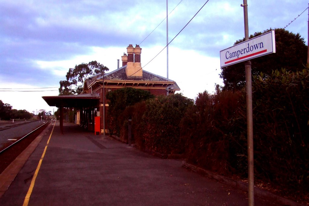
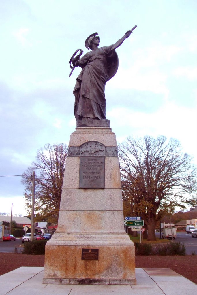
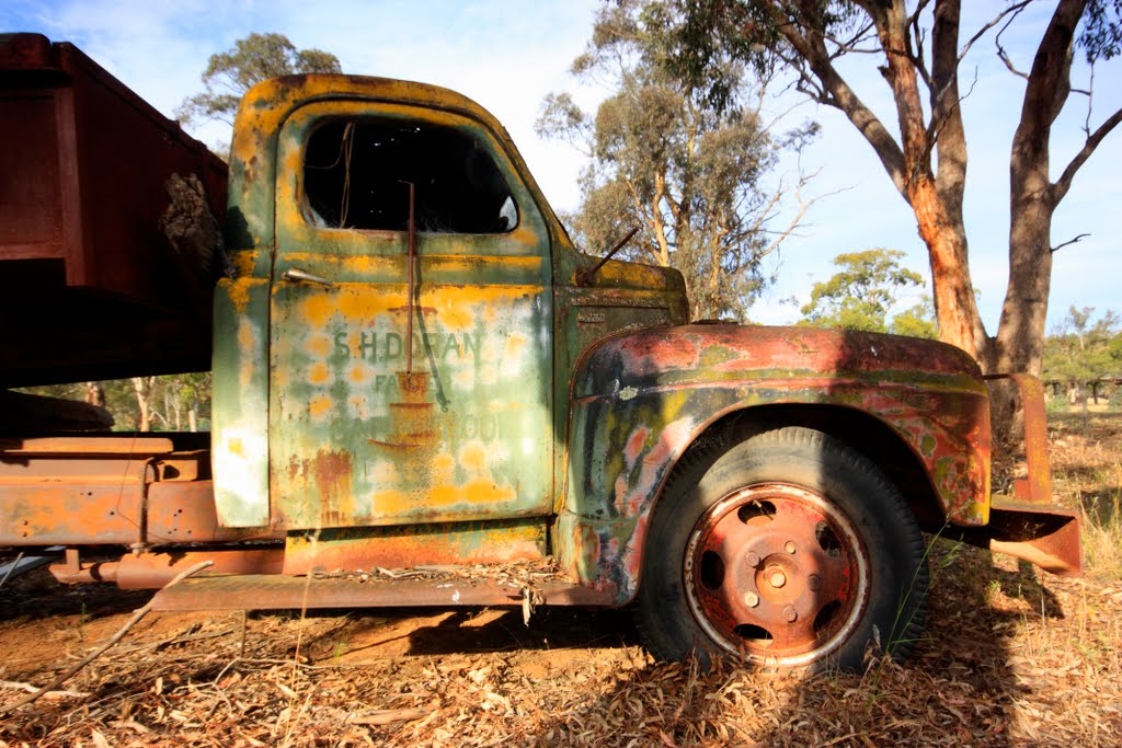
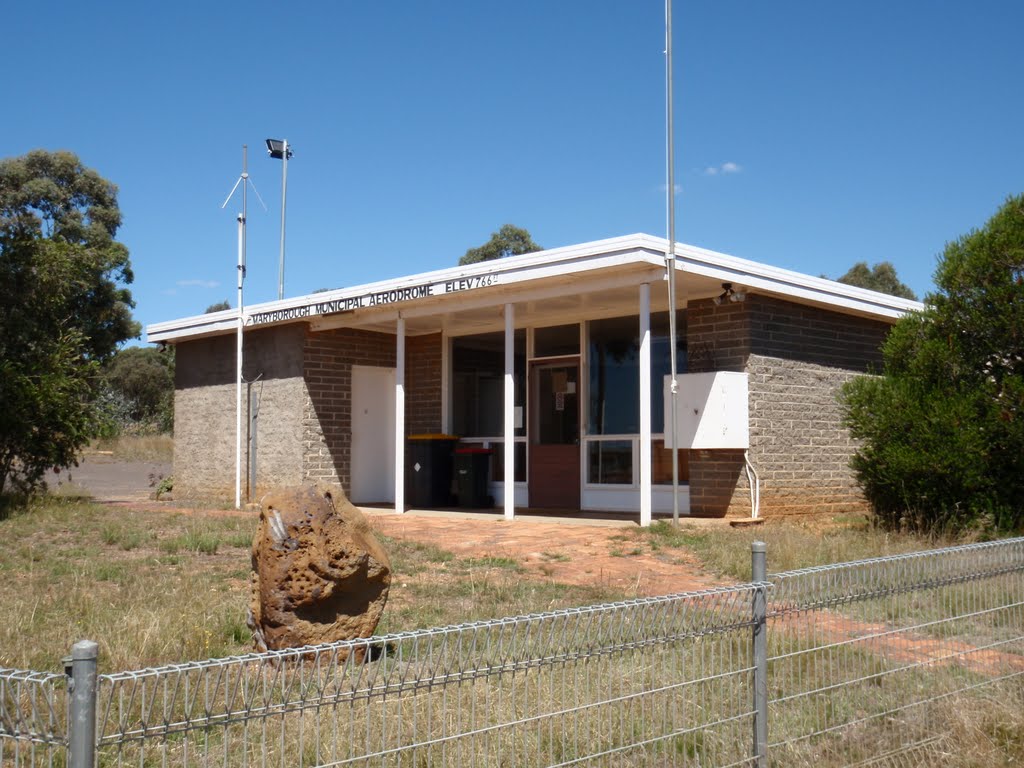
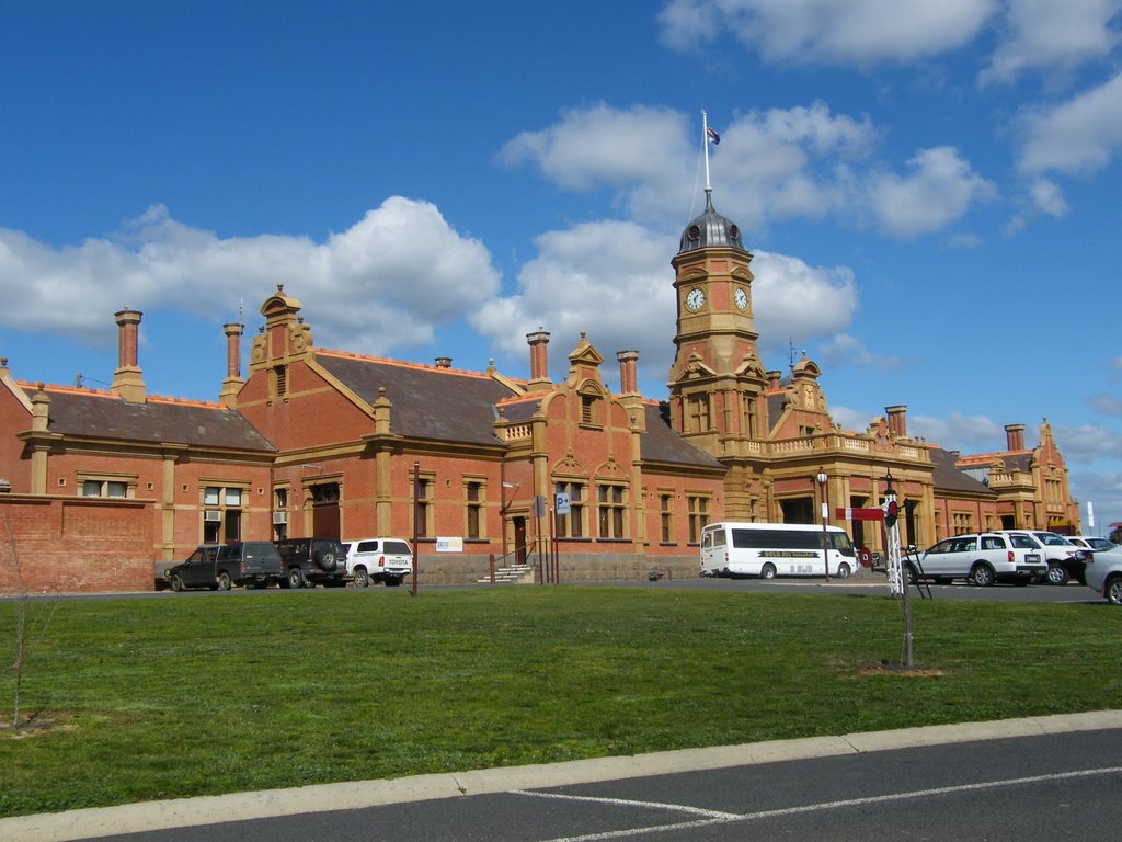
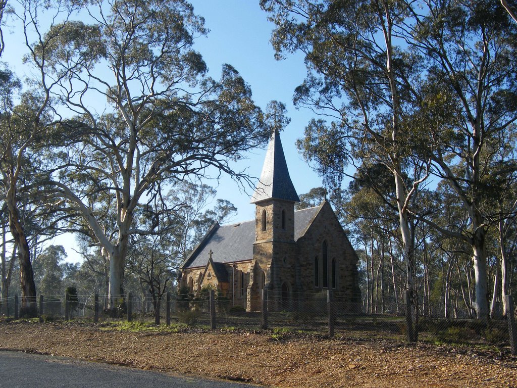
Photos of Havelock
Havelock Weather

Predicción: Overcast clouds
Temperatura: 9.9°
Humedad: 91%
Hora actual: 12:00 AM
Amanece: 08:52 PM
Anochece: 07:57 AM


