Distance between  Knebsworth and
  Garvoc
55.90 mi Straight Distance
74.08 mi Driving Distance
1 hour 16 mins Estimated Driving Time
The straight distance between Knebsworth (Victoria) and Garvoc (Victoria) is 55.90 mi, but the driving distance is 74.08 mi.
It takes 1 hour 28 mins to go from Knebsworth to Garvoc.
Driving directions from Knebsworth to Garvoc
Distance in kilometers
Straight distance: 89.95 km. Route distance: 119.20 km
Knebsworth, Australia
Latitude: -37.9993 // Longitude: 141.859
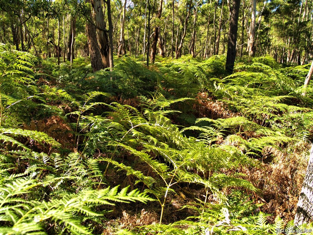
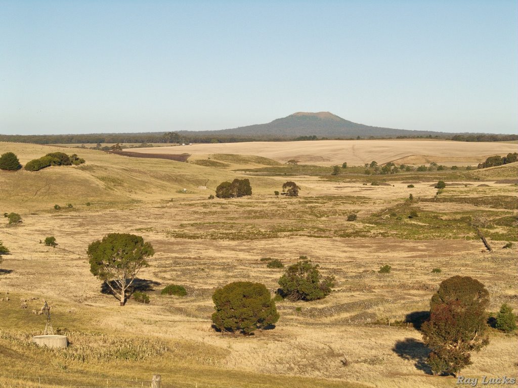
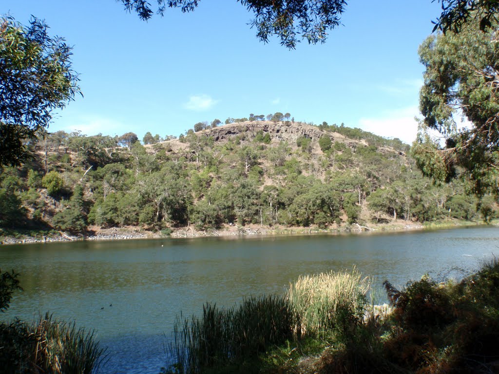
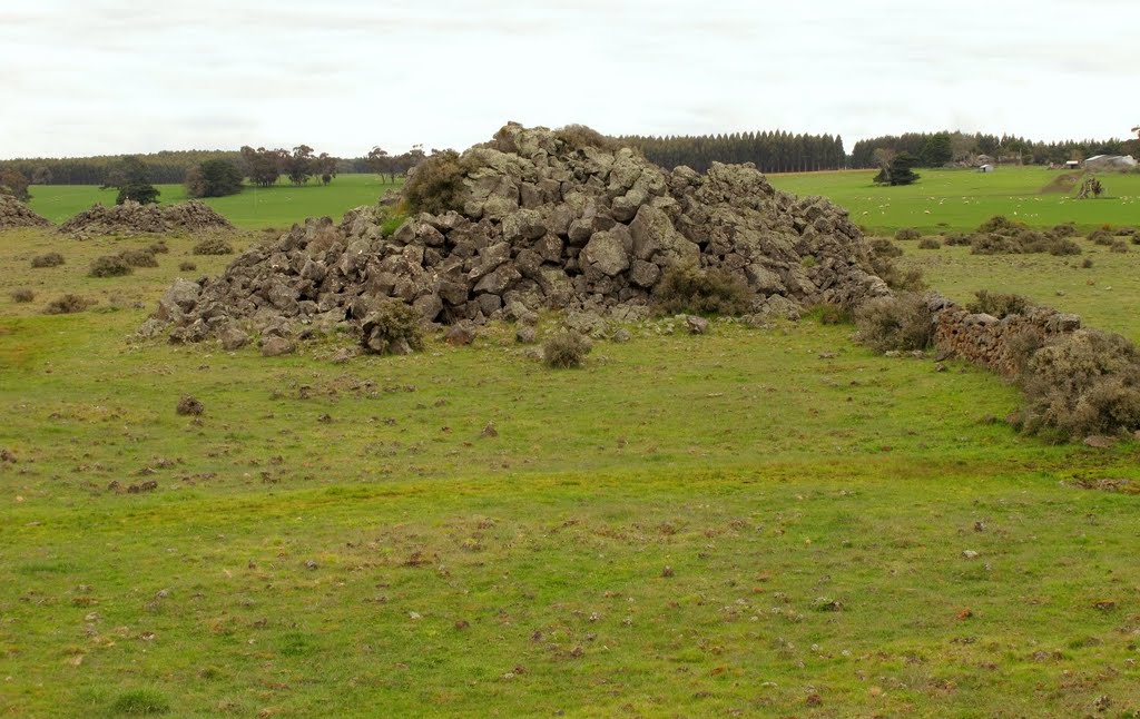
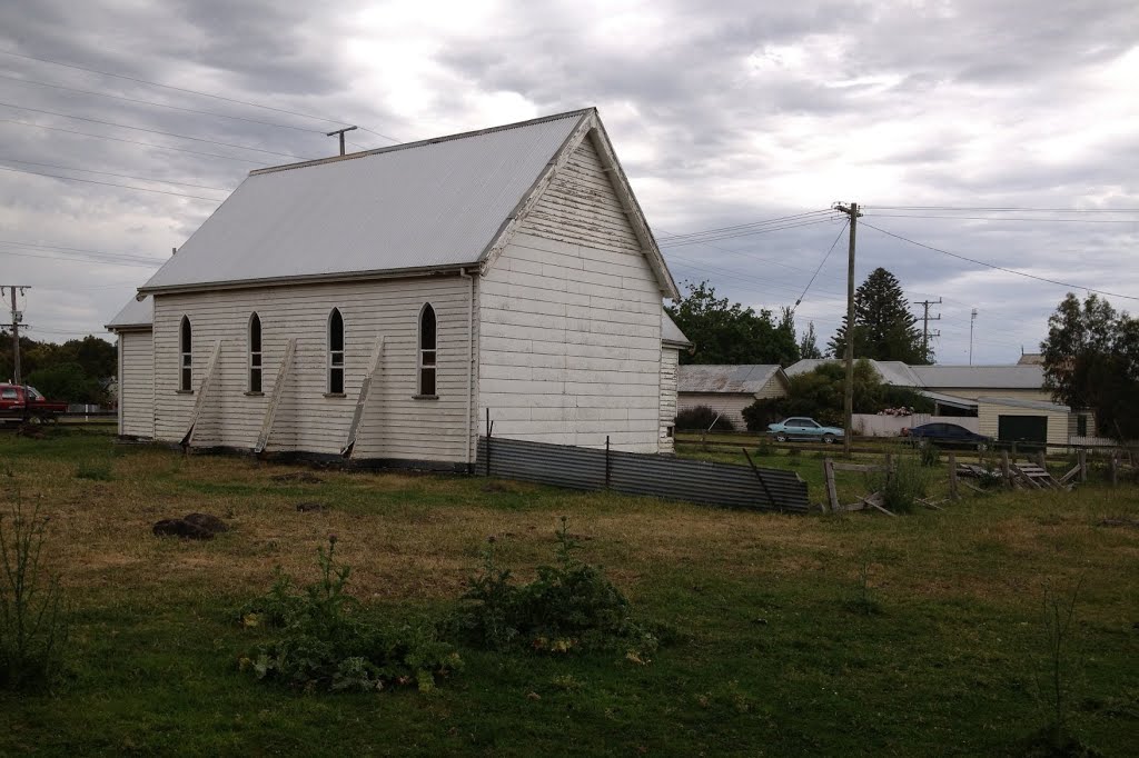
Photos of Knebsworth
Knebsworth Weather

Predicción: Broken clouds
Temperatura: 11.7°
Humedad: 88%
Hora actual: 12:00 AM
Amanece: 09:02 PM
Anochece: 08:00 AM
Garvoc, Australia
Latitude: -38.2983 // Longitude: 142.815
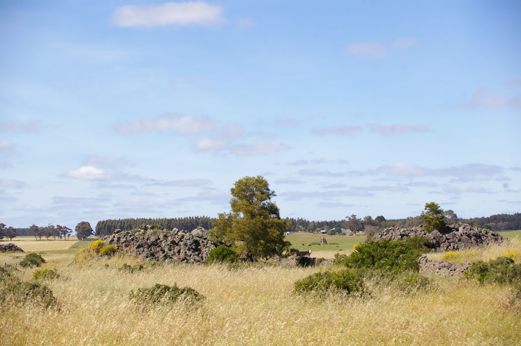
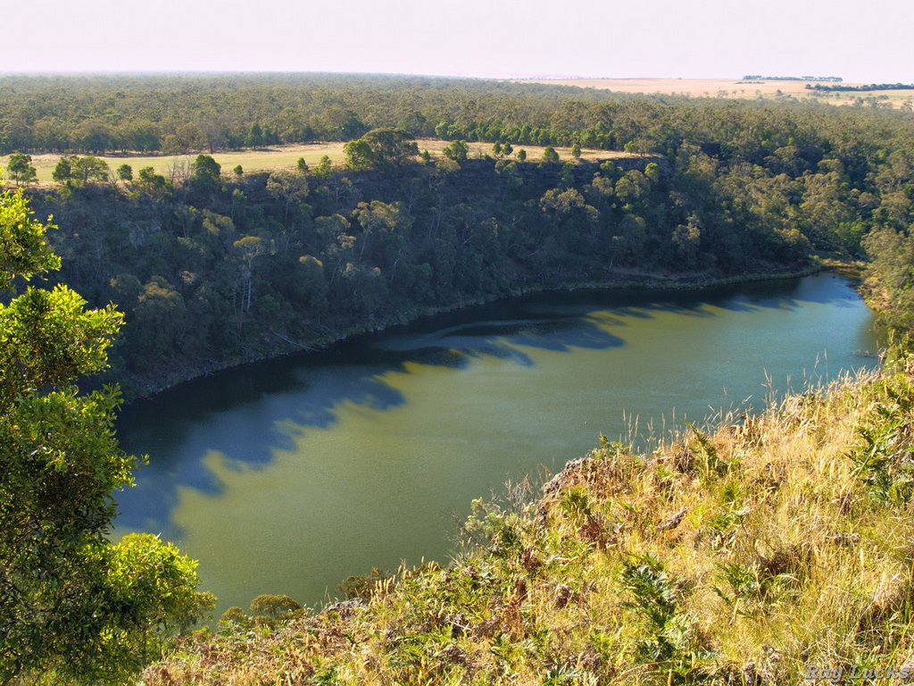
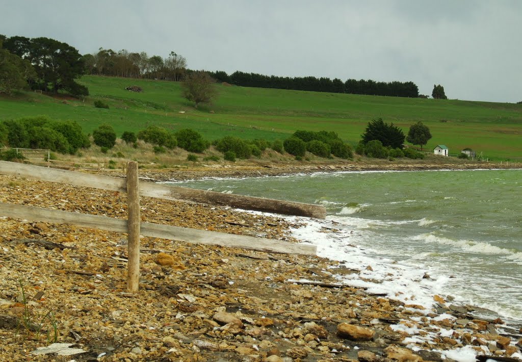
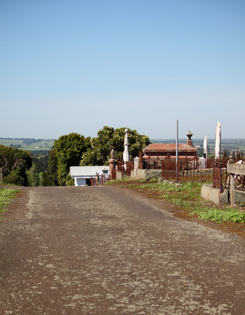
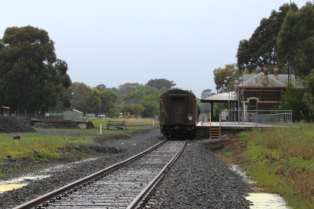
Photos of Garvoc
Garvoc Weather

Predicción: Scattered clouds
Temperatura: 10.6°
Humedad: 92%
Hora actual: 12:00 AM
Amanece: 08:59 PM
Anochece: 07:56 AM


