Distance between  Kirup and
  Belka
Belka
190.57 mi Straight Distance
268.78 mi Driving Distance
5 hours 2 mins Estimated Driving Time
The straight distance between Kirup (Western Australia) and Belka (Western Australia) is 190.57 mi, but the driving distance is 268.78 mi.
It takes to go from Kirup to Belka.
Driving directions from Kirup to Belka
Distance in kilometers
Straight distance: 306.62 km. Route distance: 432.47 km
Kirup, Australia
Latitude: -33.708 // Longitude: 115.894
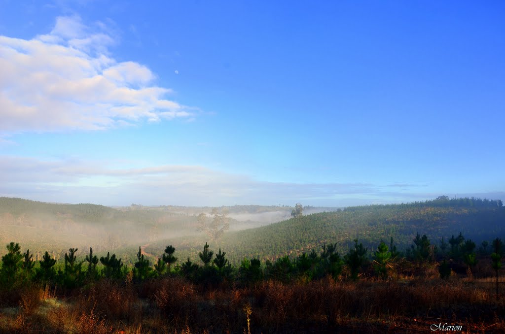
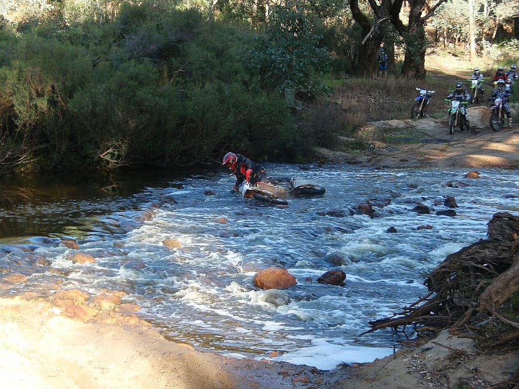
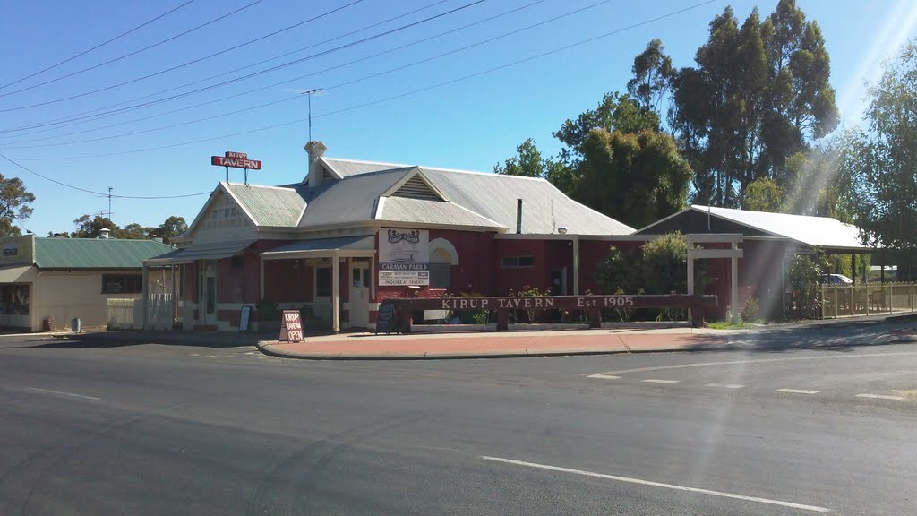
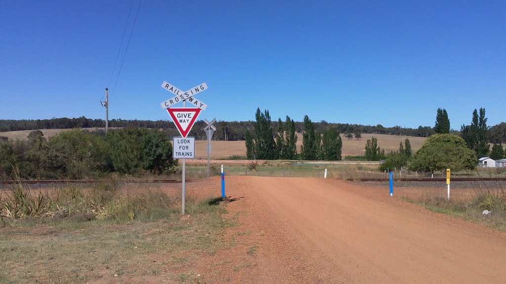
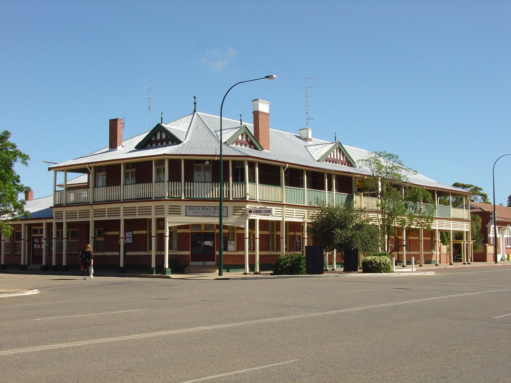
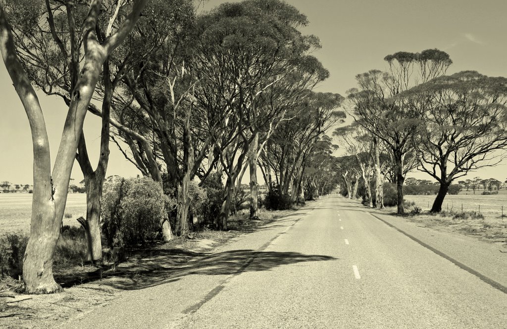
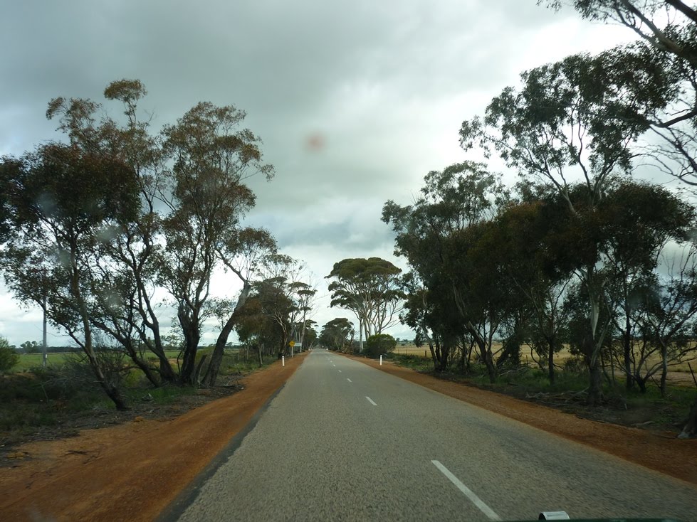
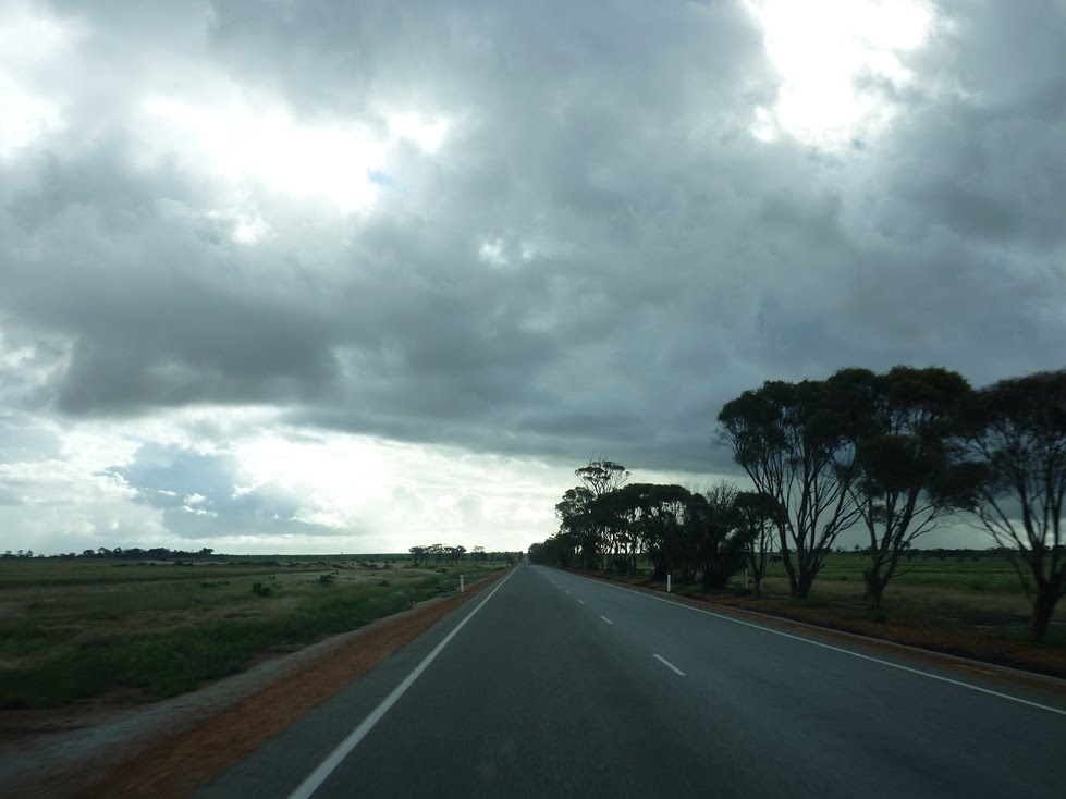
Photos of Kirup
Kirup Weather

Predicción: Clear sky
Temperatura: 18.4°
Humedad: 41%
Hora actual: 12:00 AM
Amanece: 10:41 PM
Anochece: 09:49 AM
Belka, Australia
Latitude: -31.7333 // Longitude: 118.183
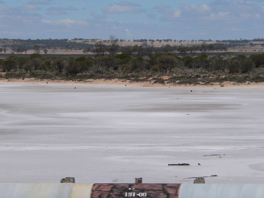
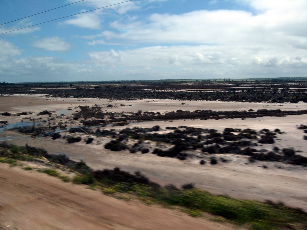
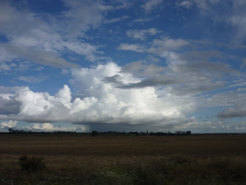
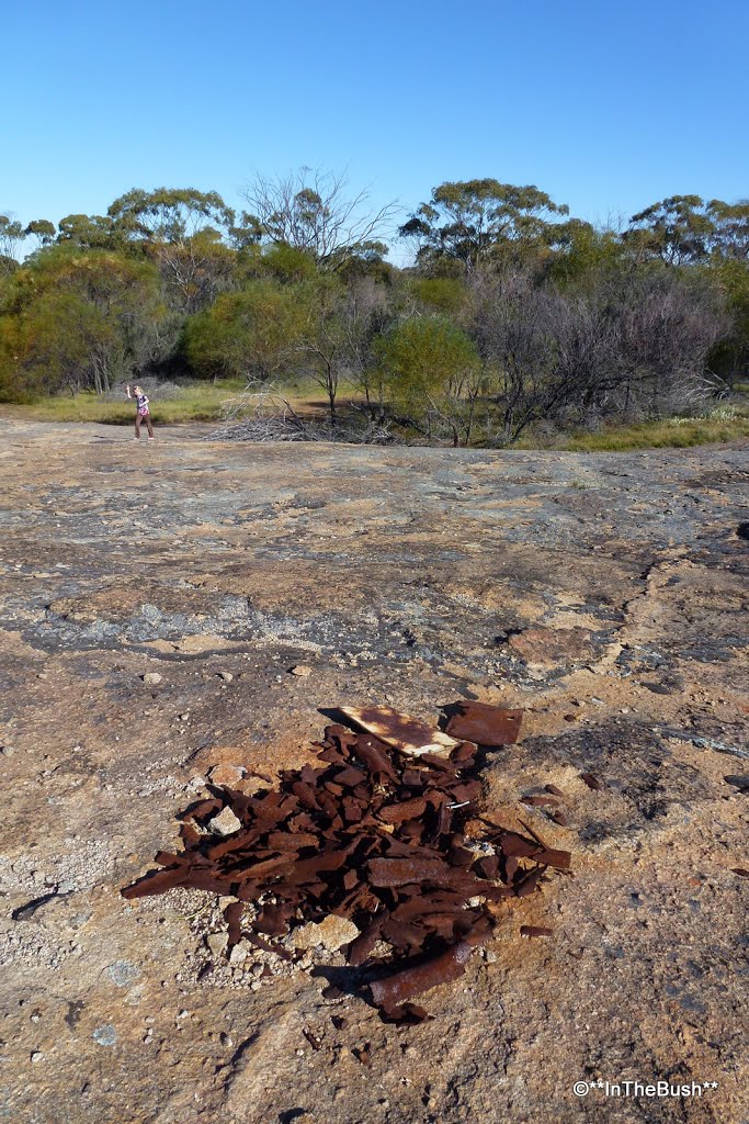
Photos of Belka
Belka Weather

Predicción: Clear sky
Temperatura: 16.7°
Humedad: 45%
Hora actual: 12:00 AM
Amanece: 10:30 PM
Anochece: 09:42 AM


