Distance between  Kimba and
  Katherine
1,316.32 mi Straight Distance
1,589.07 mi Driving Distance
21 hours 57 mins Estimated Driving Time
The straight distance between Kimba (South Australia) and Katherine (Northern Territory) is 1,316.32 mi, but the driving distance is 1,589.07 mi.
It takes to go from Kimba to Katherine.
Driving directions from Kimba to Katherine
Distance in kilometers
Straight distance: 2,117.96 km. Route distance: 2,556.82 km
Kimba, Australia
Latitude: -33.1383 // Longitude: 136.421
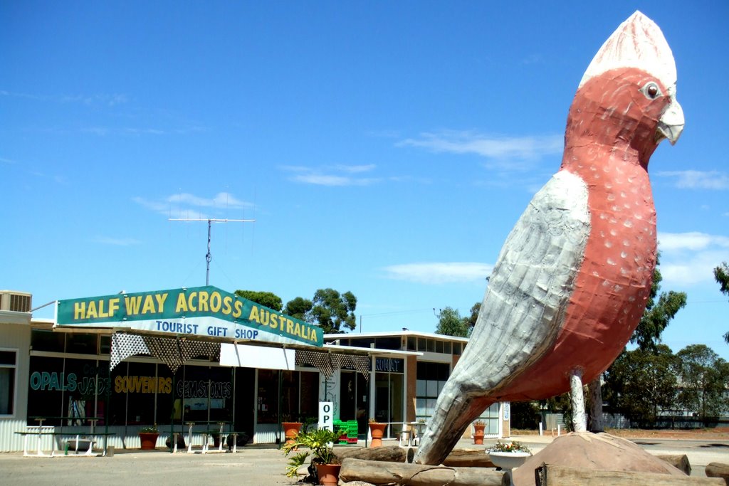
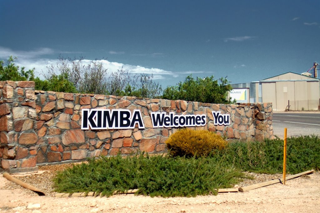
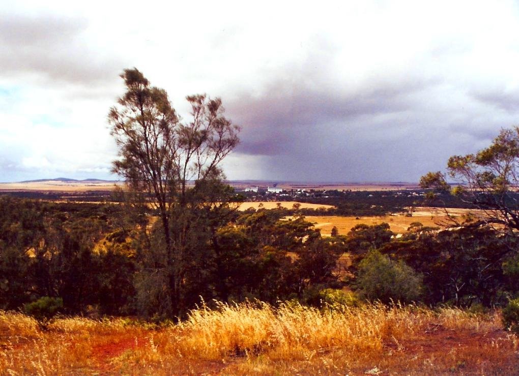
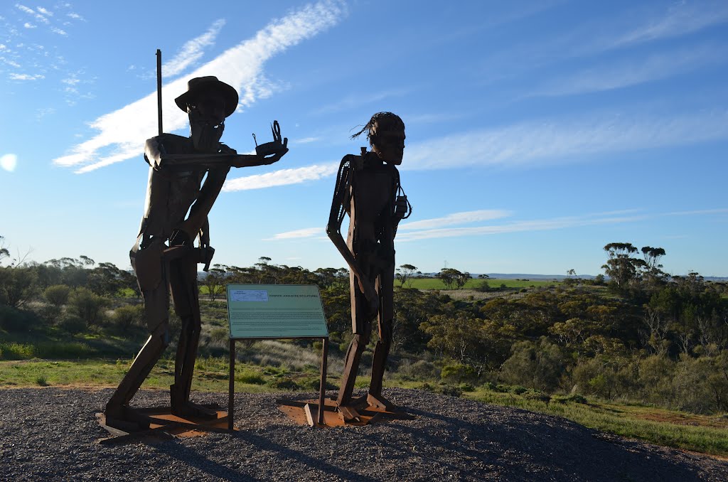
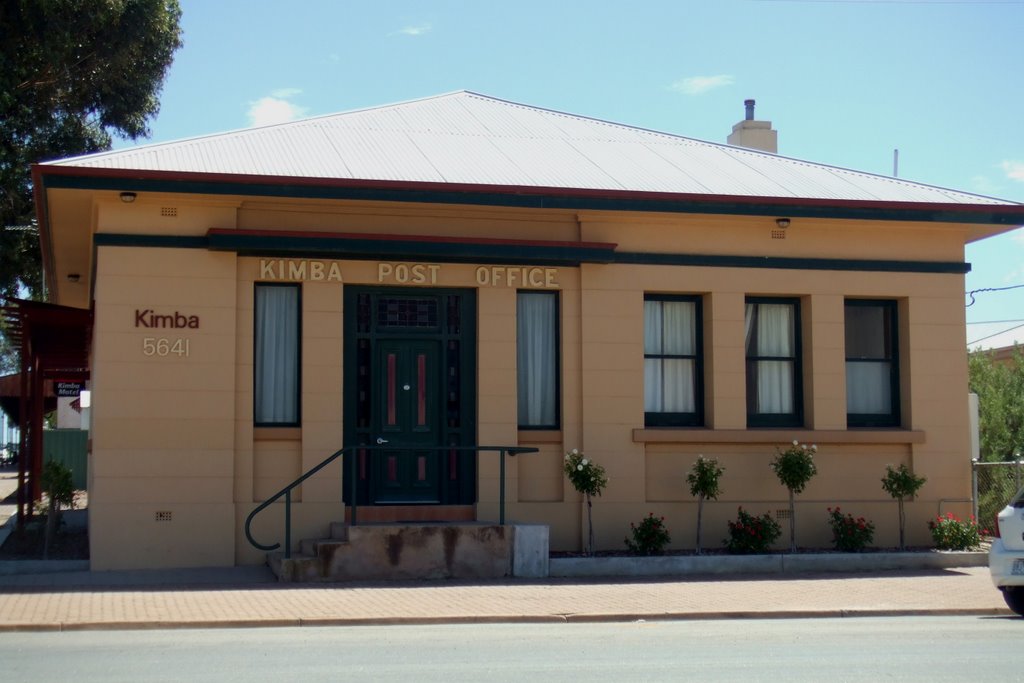
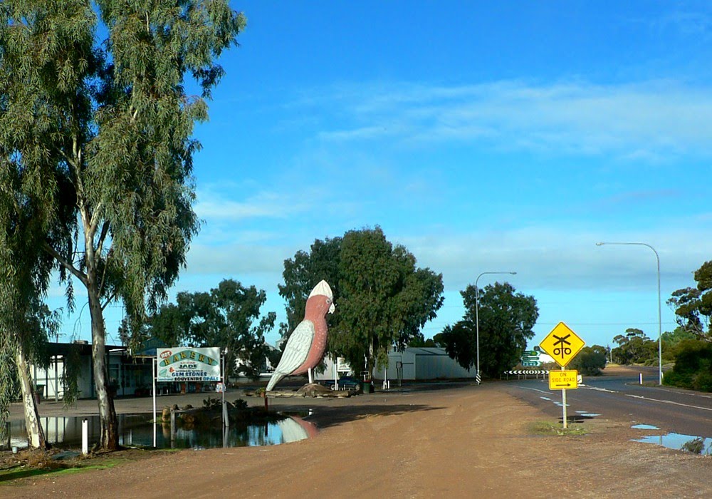
Photos of Kimba
Kimba Weather

Predicción: Light rain
Temperatura: 12.2°
Humedad: 82%
Hora actual: 11:32 PM
Amanece: 06:48 AM
Anochece: 05:58 PM
Katherine, Australia
Latitude: -14.465 // Longitude: 132.264
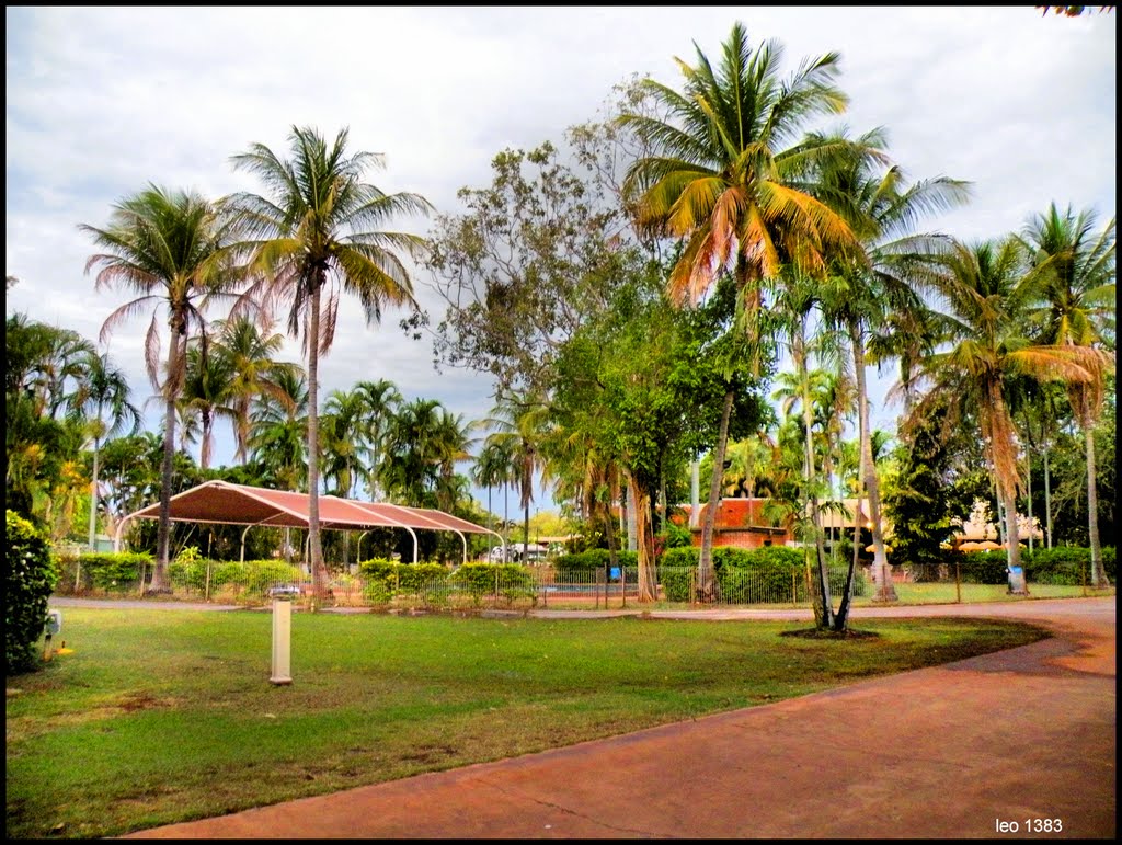
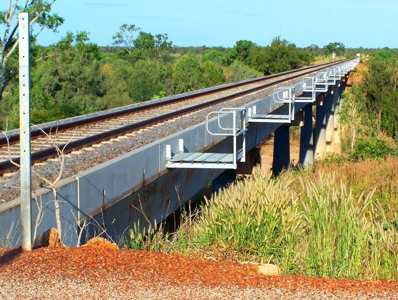
Photos of Katherine
Katherine Weather

Predicción: Overcast clouds
Temperatura: 26.2°
Humedad: 73%
Hora actual: 11:32 PM
Amanece: 06:48 AM
Anochece: 06:32 PM


