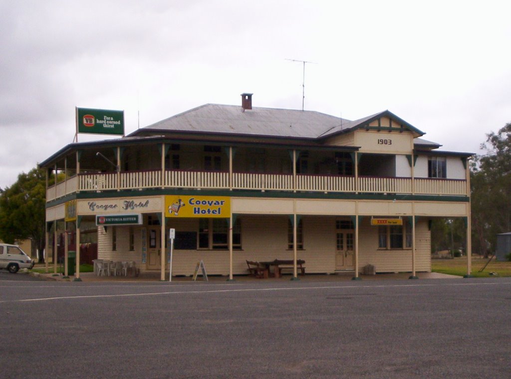
Distance between  Kilkivan and
  Cooyar
66.93 mi Straight Distance
83.02 mi Driving Distance
1 hour 32 mins Estimated Driving Time
The straight distance between Kilkivan (Queensland) and Cooyar (Queensland) is 66.93 mi, but the driving distance is 83.02 mi.
It takes 1 hour 30 mins to go from Kilkivan to Cooyar.
Driving directions from Kilkivan to Cooyar
Distance in kilometers
Straight distance: 107.69 km. Route distance: 133.58 km
Kilkivan, Australia
Latitude: -26.0858 // Longitude: 152.239
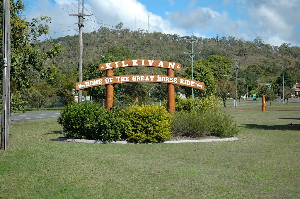
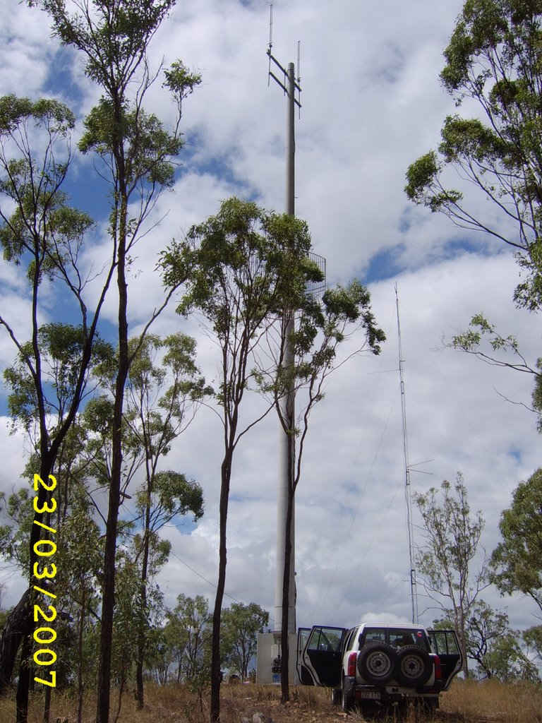
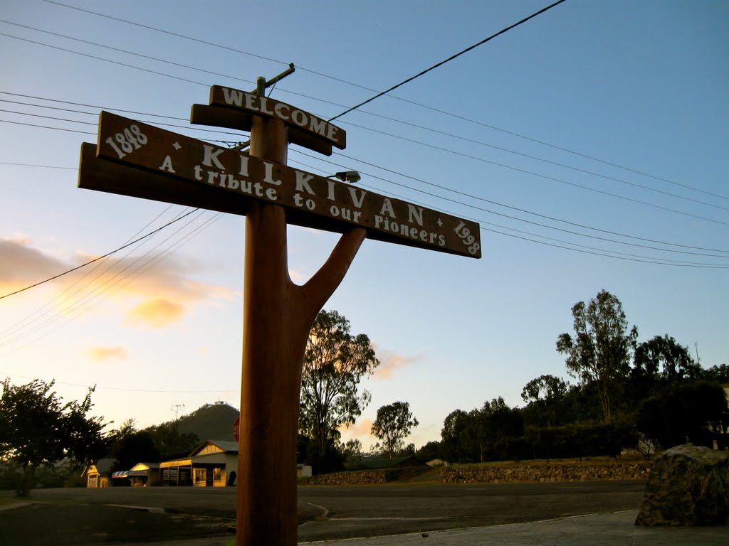
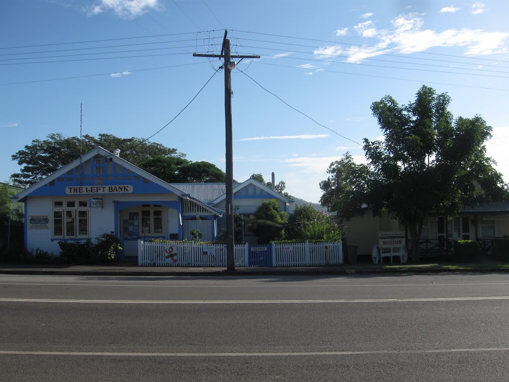
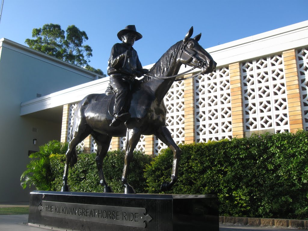
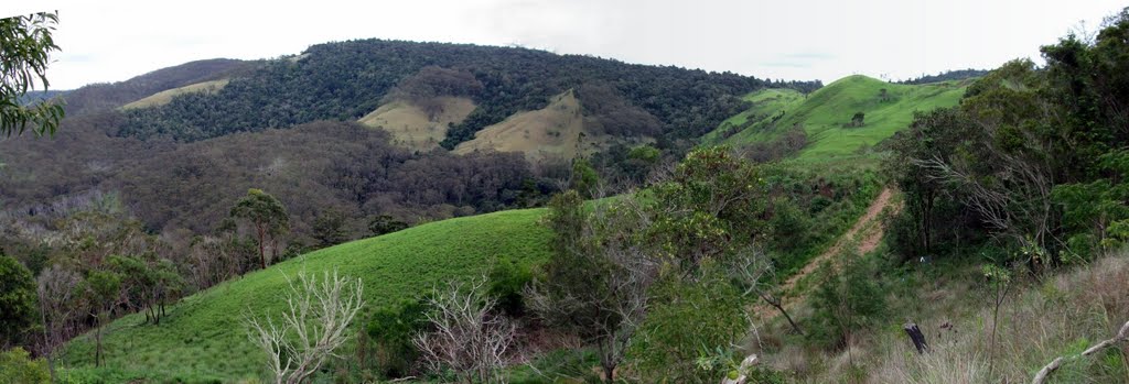
Photos of Kilkivan
Kilkivan Weather

Predicción: Overcast clouds
Temperatura: 23.0°
Humedad: 65%
Hora actual: 04:31 PM
Amanece: 06:07 AM
Anochece: 05:34 PM
Cooyar, Australia
Latitude: -26.9831 // Longitude: 151.831
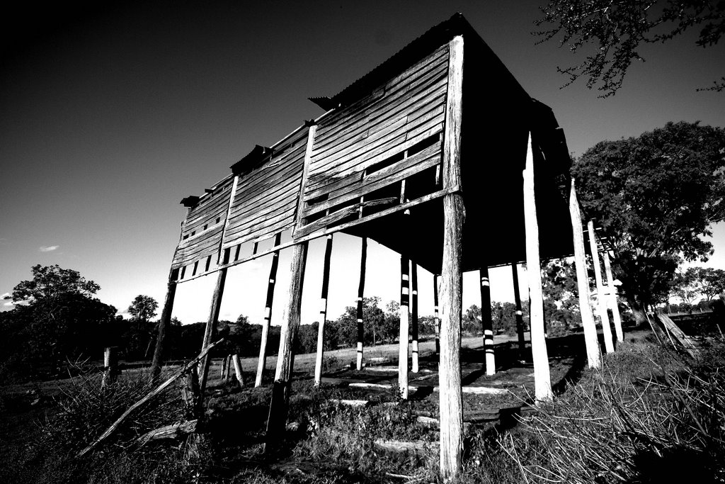
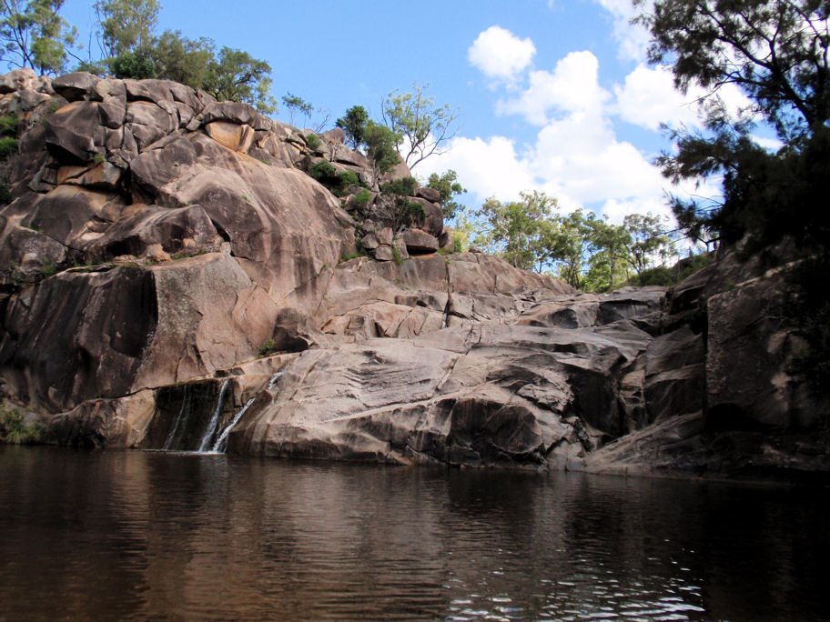
Photos of Cooyar
Cooyar Weather

Predicción: Broken clouds
Temperatura: 21.3°
Humedad: 63%
Hora actual: 10:00 AM
Amanece: 06:09 AM
Anochece: 05:35 PM


