Distance between  Kilcoy and
  Clarke Creek
362.77 mi Straight Distance
514.77 mi Driving Distance
9 hours 30 mins Estimated Driving Time
The straight distance between Kilcoy (Queensland) and Clarke Creek (Queensland) is 362.77 mi, but the driving distance is 514.77 mi.
It takes to go from Kilcoy to Clarke Creek.
Driving directions from Kilcoy to Clarke Creek
Distance in kilometers
Straight distance: 583.70 km. Route distance: 828.26 km
Kilcoy, Australia
Latitude: -26.943 // Longitude: 152.565
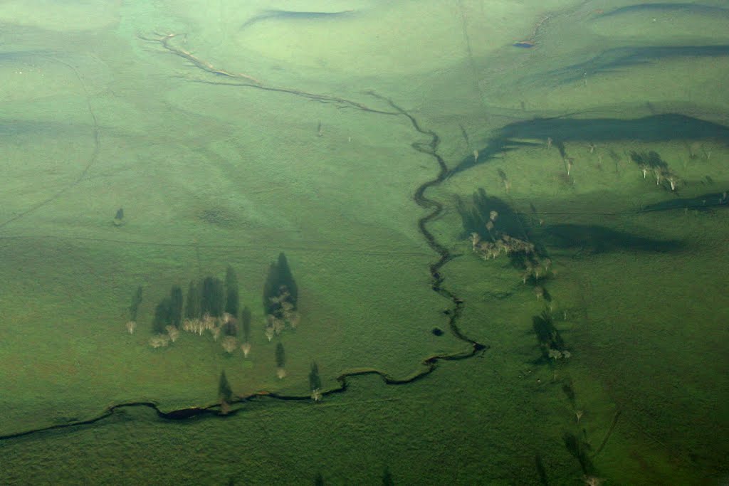
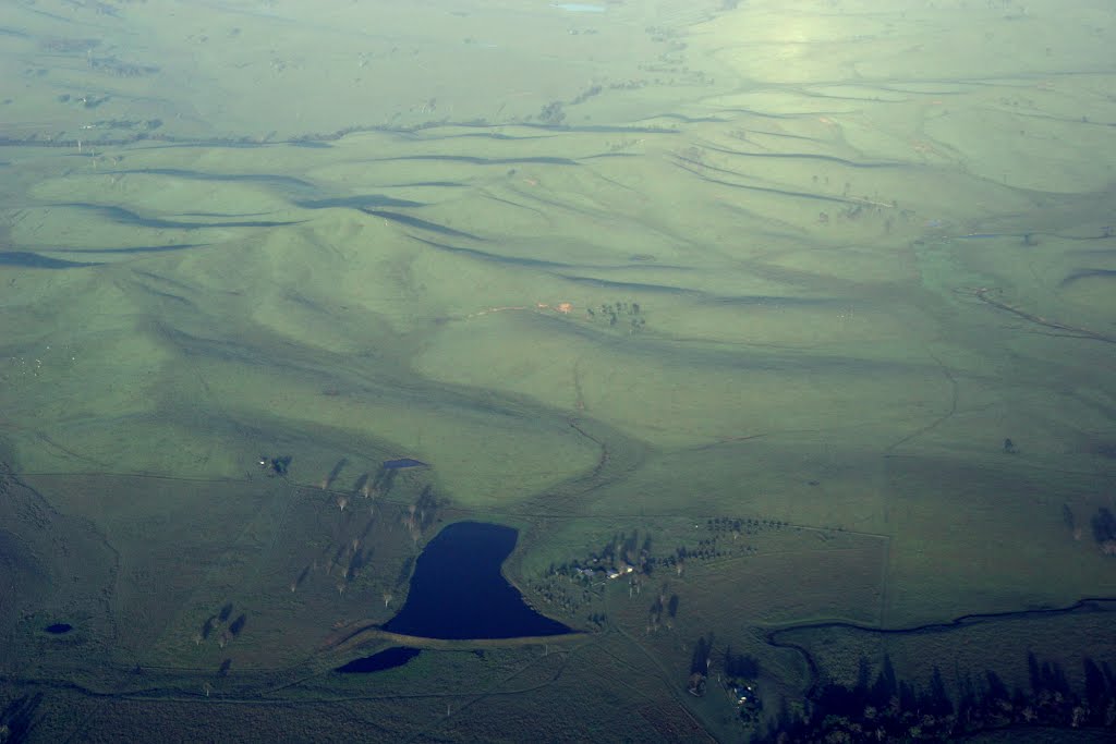
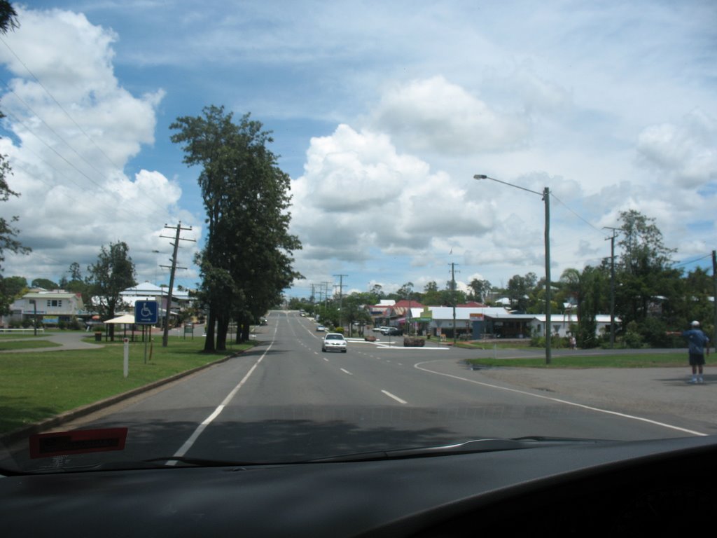
Photos of Kilcoy
Kilcoy Weather

Predicción: Overcast clouds
Temperatura: 19.5°
Humedad: 97%
Hora actual: 08:59 PM
Amanece: 06:06 AM
Anochece: 05:32 PM
Clarke Creek, Australia
Latitude: -22.6354 // Longitude: 149.257
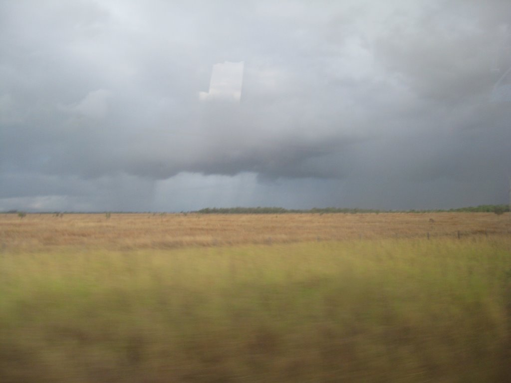
Photos of Clarke Creek
Clarke Creek Weather

Predicción: Broken clouds
Temperatura: 21.2°
Humedad: 85%
Hora actual: 10:00 AM
Amanece: 06:16 AM
Anochece: 05:49 PM


