Distance between  Kiama and
  Hill Top
29.84 mi Straight Distance
49.41 mi Driving Distance
1 hour 6 mins Estimated Driving Time
The straight distance between Kiama (New South Wales) and Hill Top (New South Wales) is 29.84 mi, but the driving distance is 49.41 mi.
It takes 1 hour 11 mins to go from Kiama to Hill Top.
Driving directions from Kiama to Hill Top
Distance in kilometers
Straight distance: 48.01 km. Route distance: 79.50 km
Kiama, Australia
Latitude: -34.6703 // Longitude: 150.854
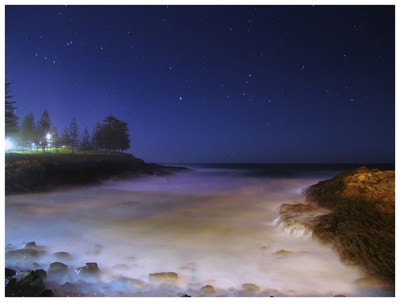
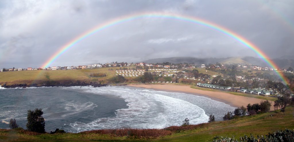
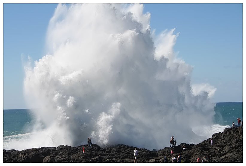
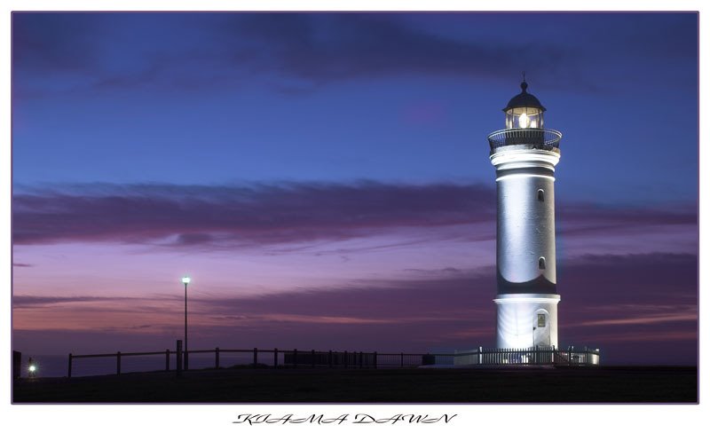
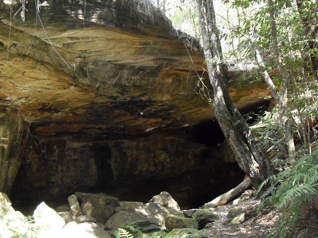
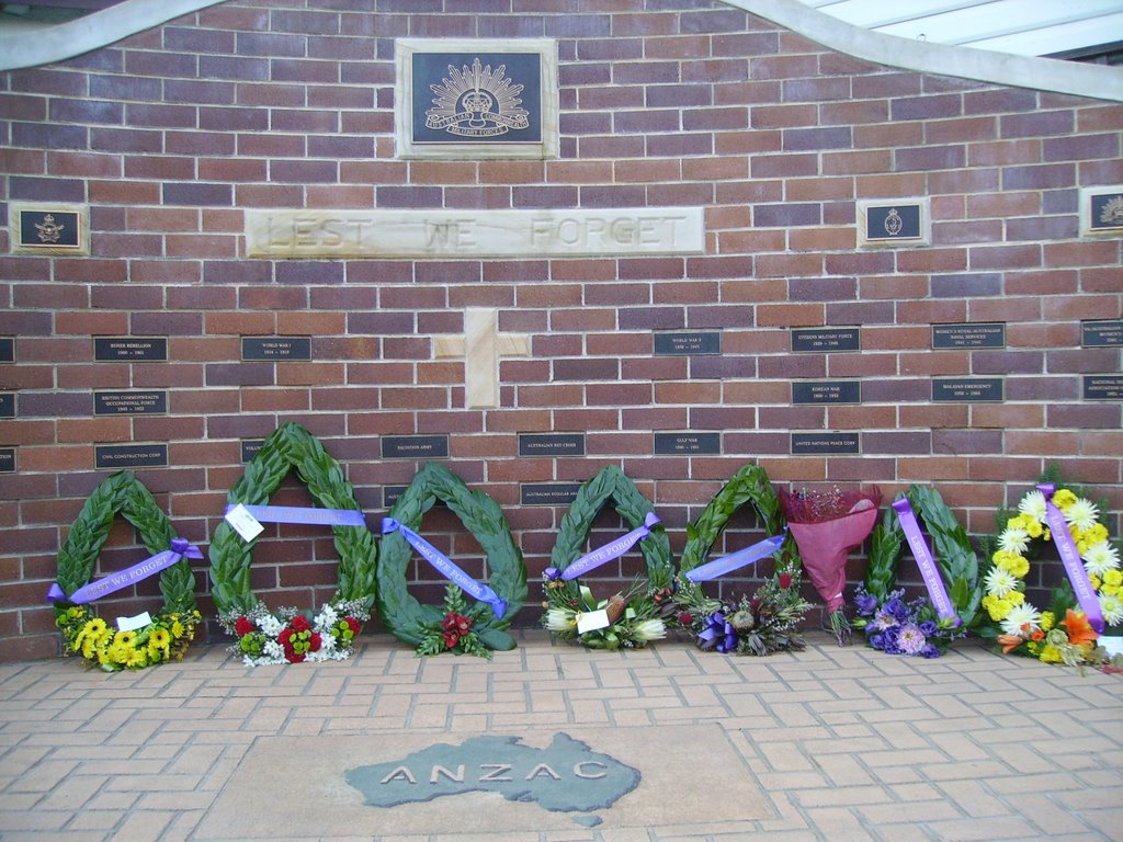
Photos of Kiama
Kiama Weather

Predicción: Broken clouds
Temperatura: 12.4°
Humedad: 84%
Hora actual: 07:30 AM
Amanece: 06:23 AM
Anochece: 05:28 PM
Hill Top, Australia
Latitude: -34.3557 // Longitude: 150.495
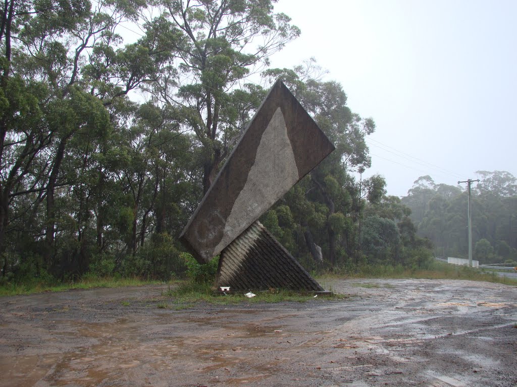
Photos of Hill Top
Hill Top Weather

Predicción: Broken clouds
Temperatura: 5.6°
Humedad: 67%
Hora actual: 07:30 AM
Amanece: 06:24 AM
Anochece: 05:29 PM


