Distance between  Kellalac and
  Tyrendarra
131.38 mi Straight Distance
154.10 mi Driving Distance
2 hours 37 mins Estimated Driving Time
The straight distance between Kellalac (Victoria) and Tyrendarra (Victoria) is 131.38 mi, but the driving distance is 154.10 mi.
It takes to go from Kellalac to Tyrendarra.
Driving directions from Kellalac to Tyrendarra
Distance in kilometers
Straight distance: 211.40 km. Route distance: 247.95 km
Kellalac, Australia
Latitude: -36.3819 // Longitude: 142.401
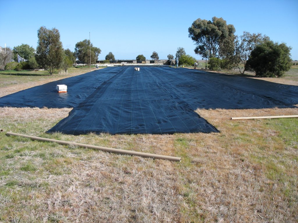
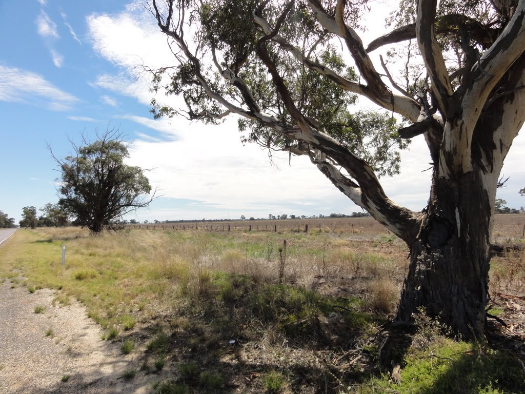
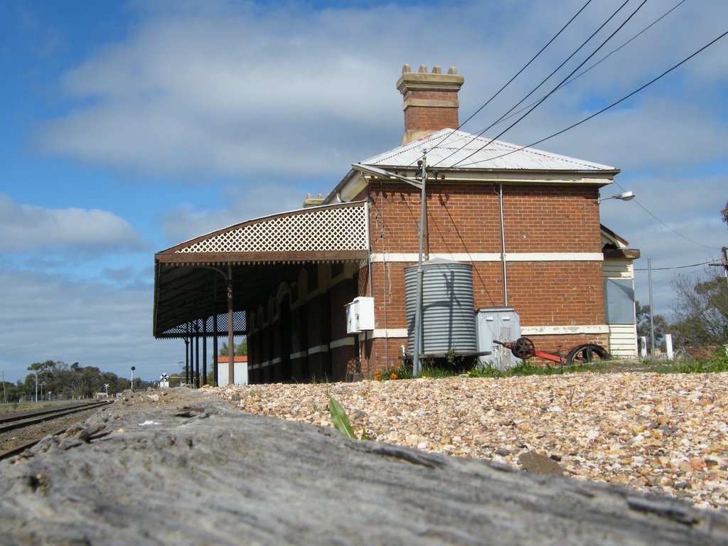
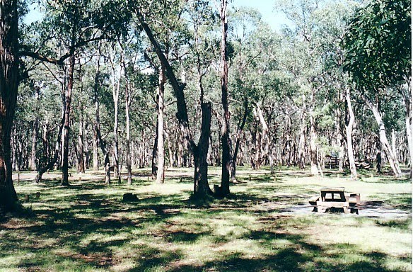
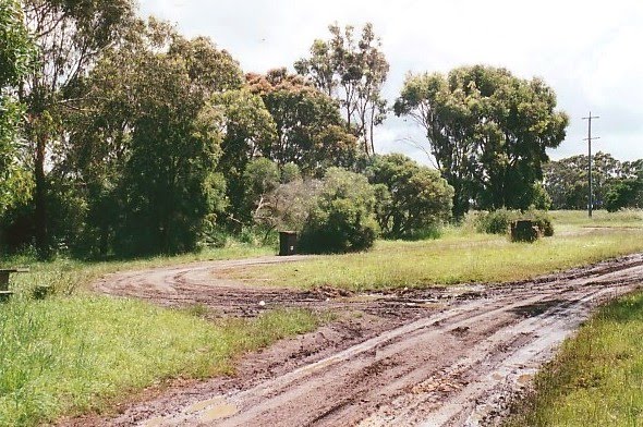
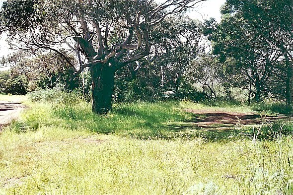
Photos of Kellalac
Kellalac Weather

Predicción: Overcast clouds
Temperatura: 14.2°
Humedad: 68%
Hora actual: 09:40 AM
Amanece: 06:57 AM
Anochece: 06:02 PM
Tyrendarra, Australia
Latitude: -38.2184 // Longitude: 141.781
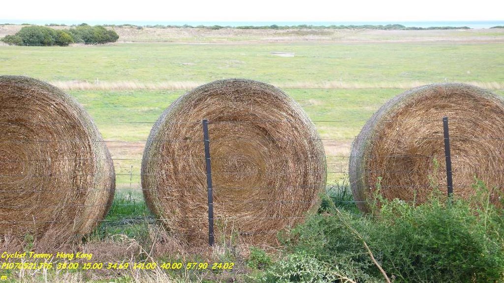
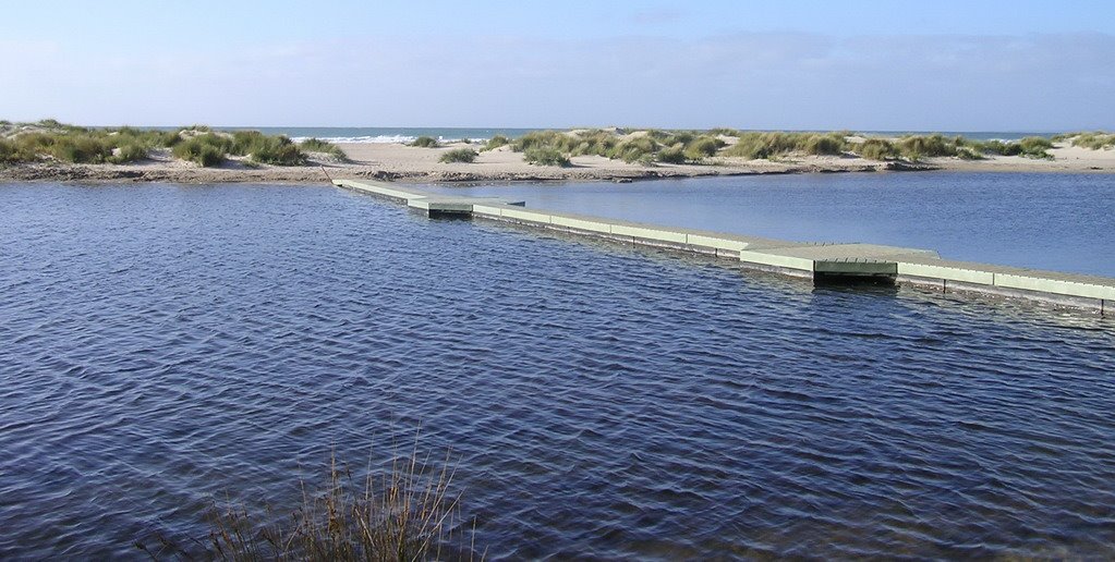
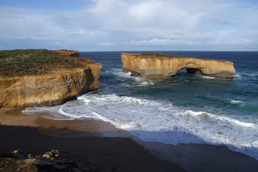
Photos of Tyrendarra
Tyrendarra Weather

Predicción: Overcast clouds
Temperatura: 15.2°
Humedad: 65%
Hora actual: 10:00 AM
Amanece: 07:02 AM
Anochece: 06:02 PM


