Distance between  Katanning and
  Balkuling
120.69 mi Straight Distance
147.18 mi Driving Distance
2 hours 27 mins Estimated Driving Time
The straight distance between Katanning (Western Australia) and Balkuling (Western Australia) is 120.69 mi, but the driving distance is 147.18 mi.
It takes 3 hours 16 mins to go from Katanning to Balkuling.
Driving directions from Katanning to Balkuling
Distance in kilometers
Straight distance: 194.19 km. Route distance: 236.81 km
Katanning, Australia
Latitude: -33.6901 // Longitude: 117.556
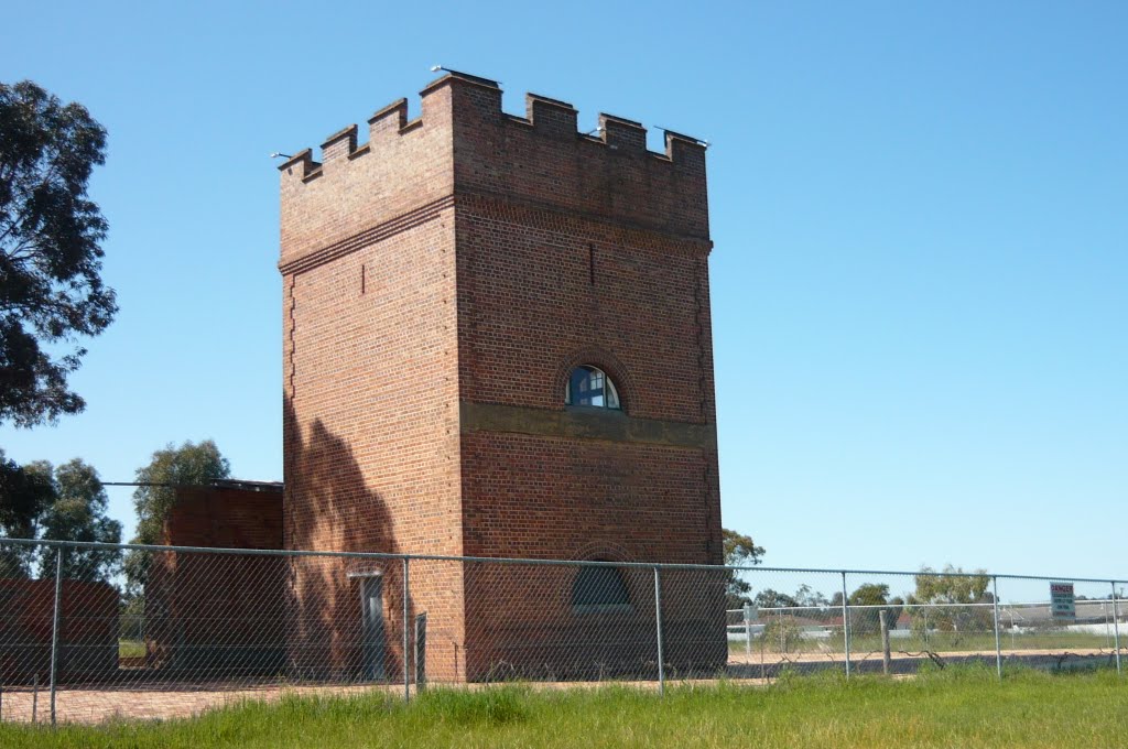
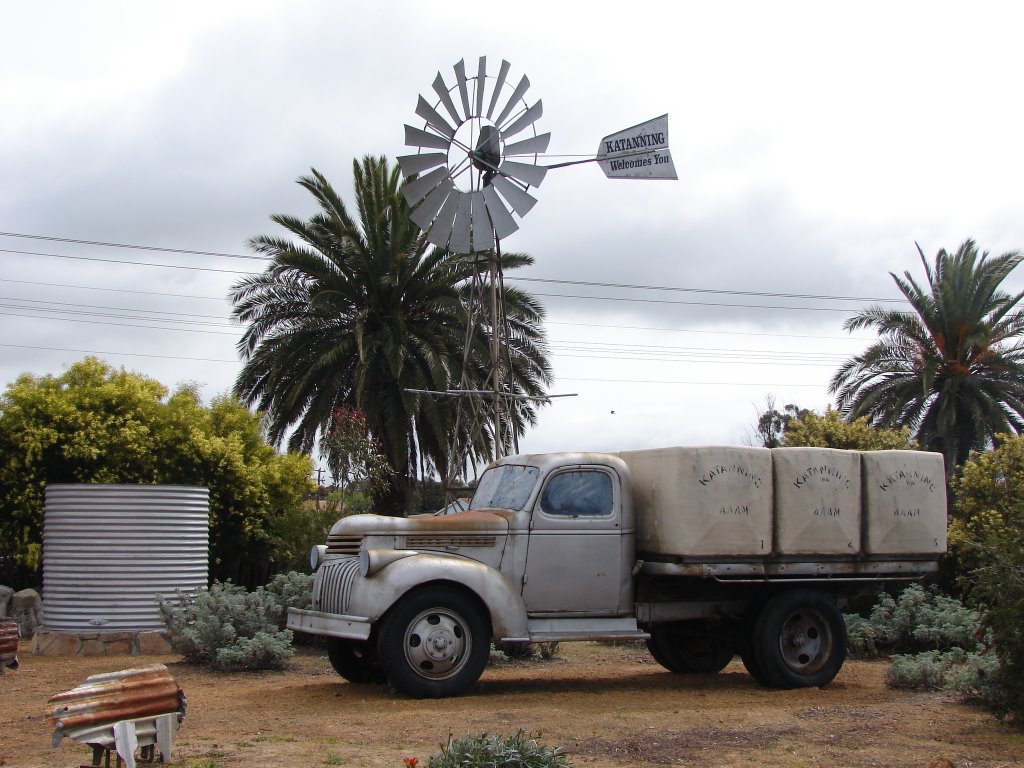
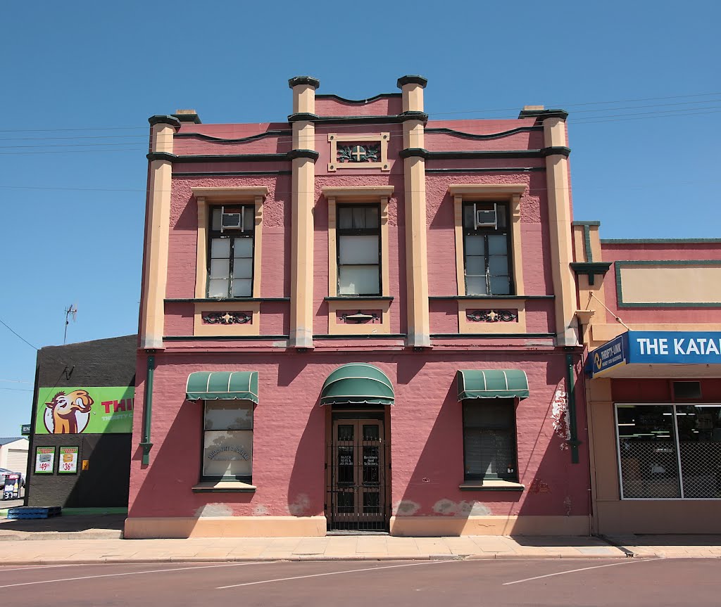
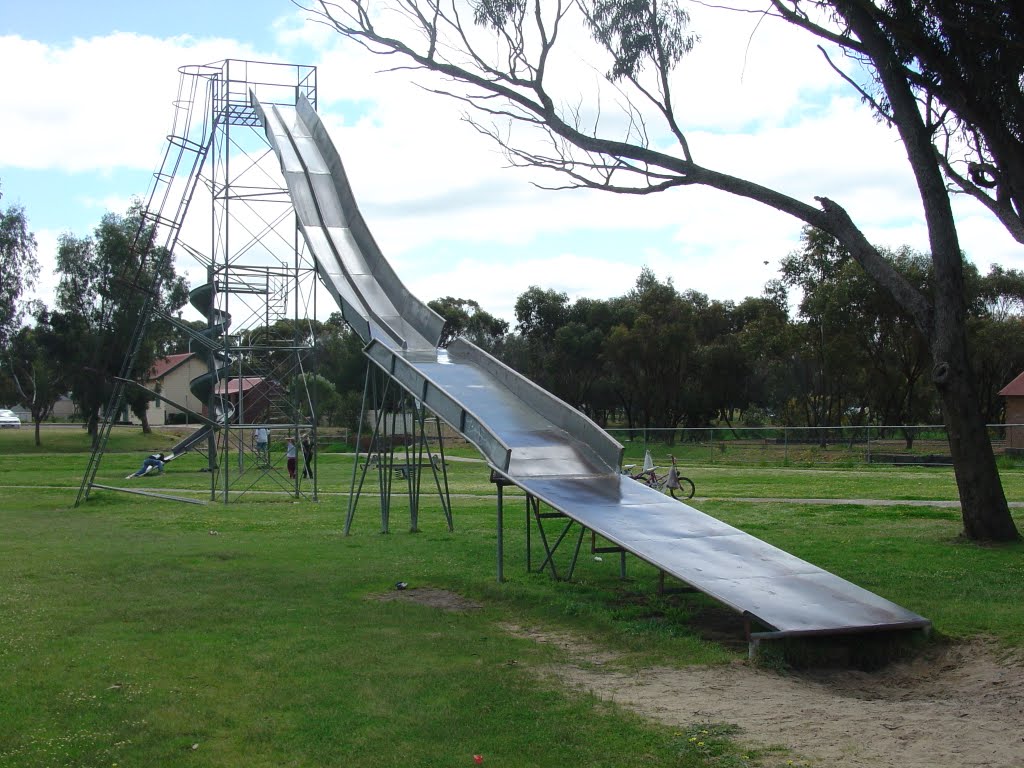
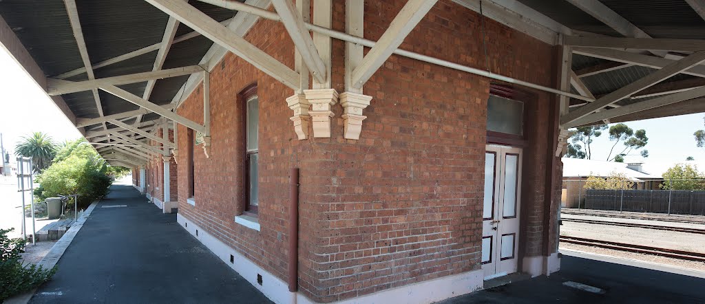
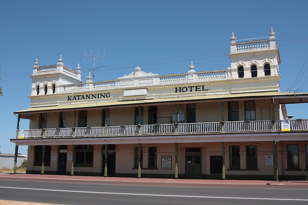
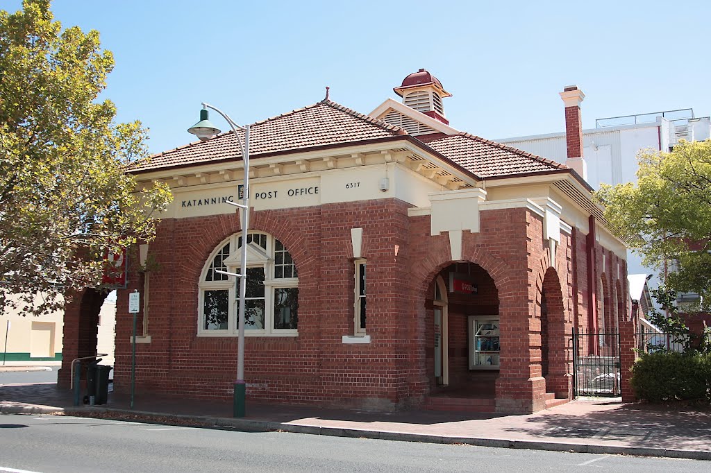
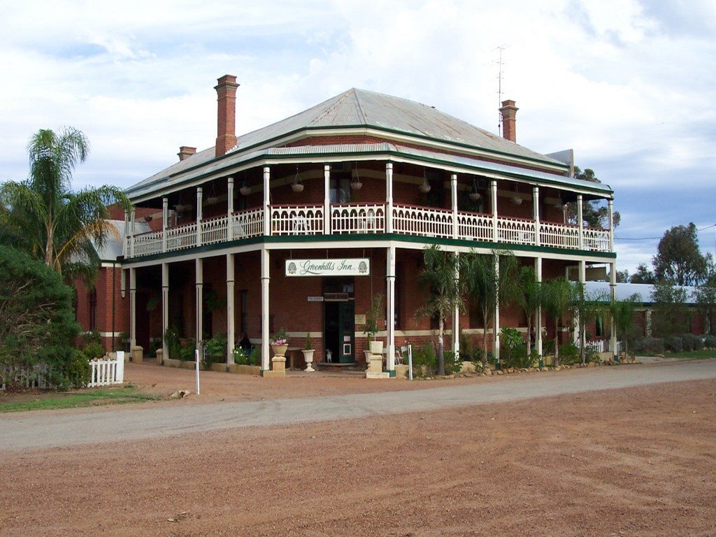
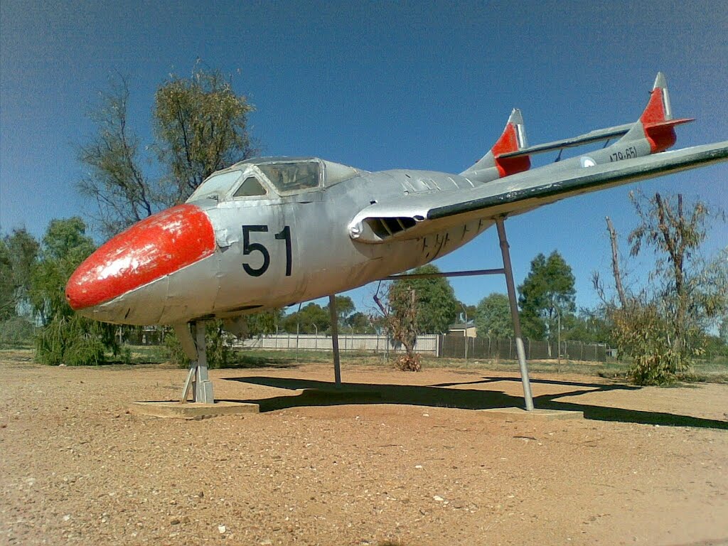
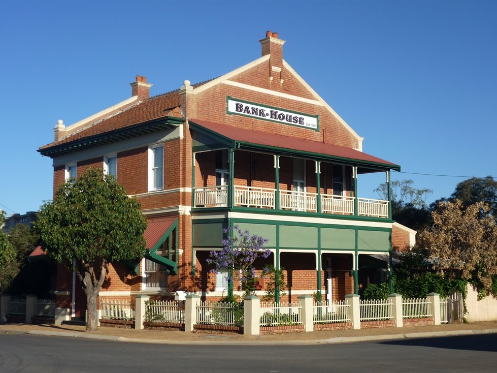
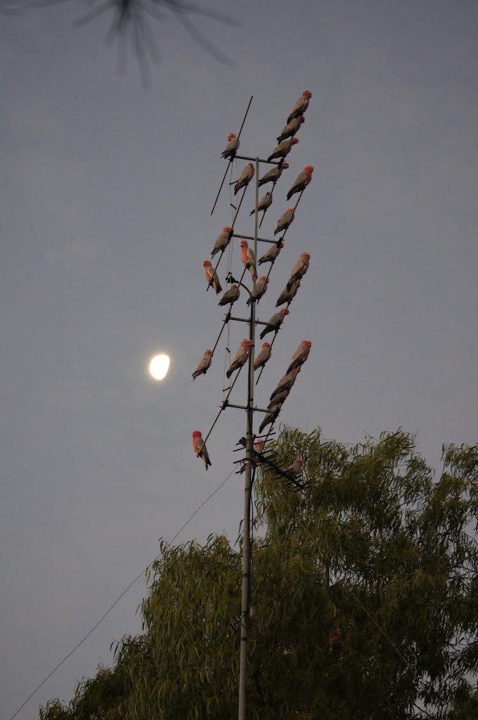
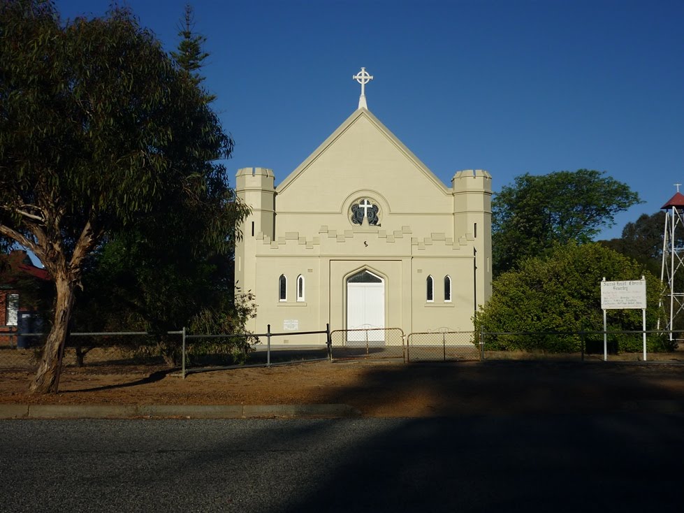
Photos of Katanning
Katanning Weather

Predicción: Clear sky
Temperatura: 19.3°
Humedad: 33%
Hora actual: 08:18 PM
Amanece: 06:34 AM
Anochece: 05:43 PM
Balkuling, Australia
Latitude: -31.9825 // Longitude: 117.118
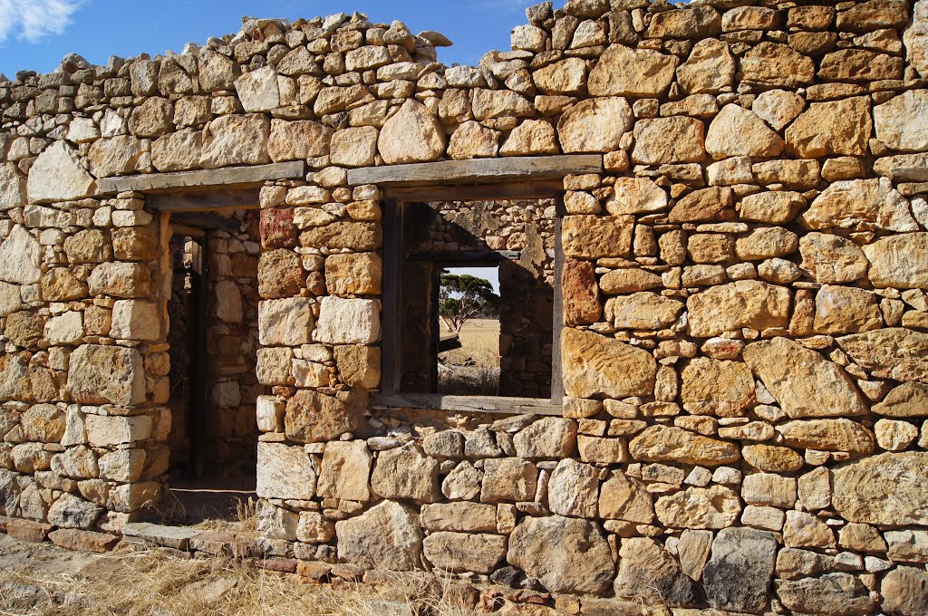
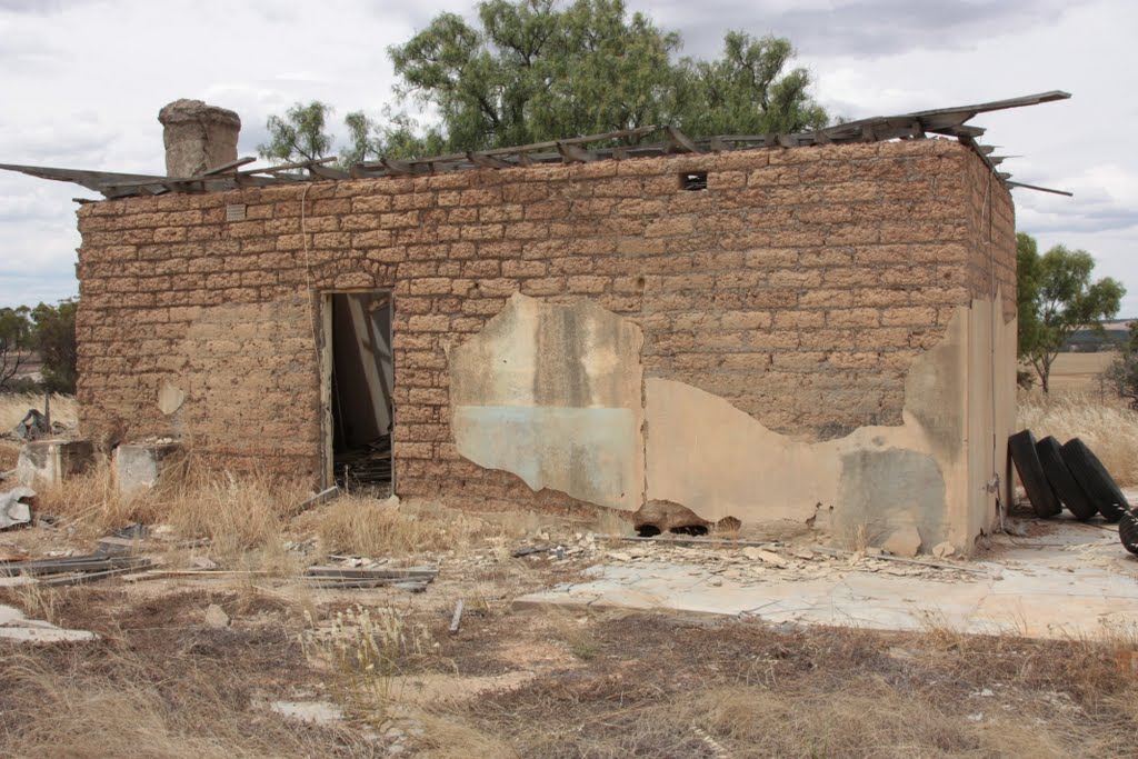
Photos of Balkuling
Balkuling Weather

Predicción: Few clouds
Temperatura: 18.0°
Humedad: 37%
Hora actual: 08:00 AM
Amanece: 06:34 AM
Anochece: 05:46 PM


