Distance between  Katandra West and
  Howes Creek
68.10 mi Straight Distance
94.62 mi Driving Distance
1 hour 48 mins Estimated Driving Time
The straight distance between Katandra West (Victoria) and Howes Creek (Victoria) is 68.10 mi, but the driving distance is 94.62 mi.
It takes 1 hour 41 mins to go from Katandra West to Howes Creek.
Driving directions from Katandra West to Howes Creek
Distance in kilometers
Straight distance: 109.57 km. Route distance: 152.25 km
Katandra West, Australia
Latitude: -36.2283 // Longitude: 145.558
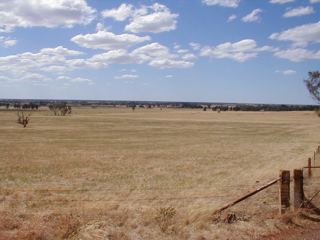
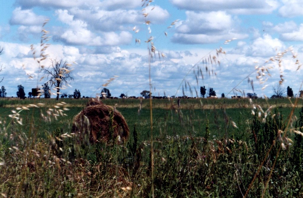
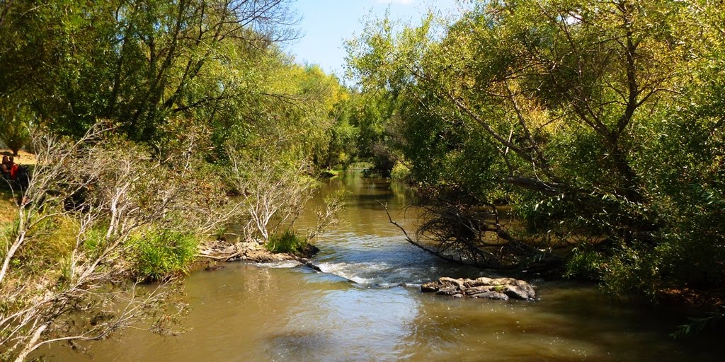
Photos of Katandra West
Katandra West Weather

Predicción: Light rain
Temperatura: 14.6°
Humedad: 59%
Hora actual: 10:50 PM
Amanece: 06:45 AM
Anochece: 05:48 PM
Howes Creek, Australia
Latitude: -37.1403 // Longitude: 146.024
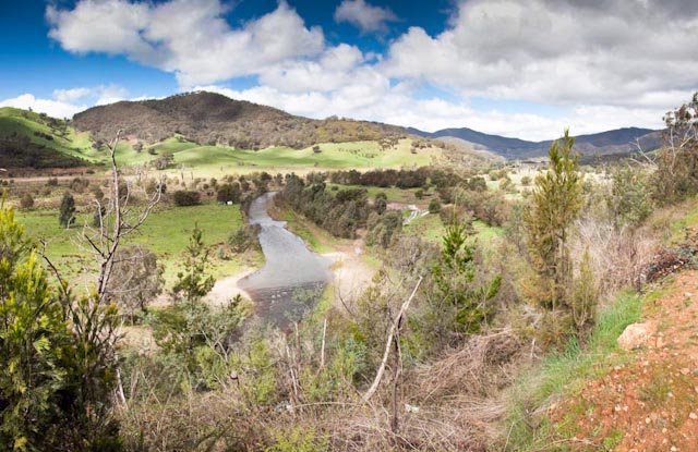
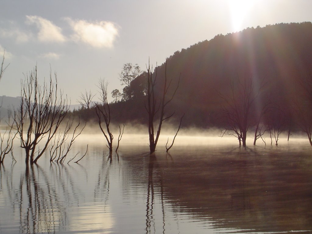
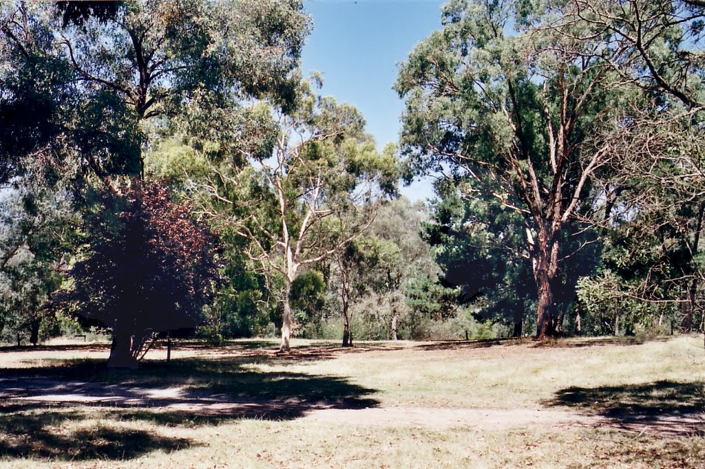
Photos of Howes Creek
Howes Creek Weather

Predicción: Overcast clouds
Temperatura: 10.5°
Humedad: 80%
Hora actual: 10:00 AM
Amanece: 06:44 AM
Anochece: 05:45 PM


