Distance between  Kanya and
  Vasey
Vasey
74.25 mi Straight Distance
122.47 mi Driving Distance
2 hours 8 mins Estimated Driving Time
The straight distance between Kanya (Victoria) and Vasey (Victoria) is 74.25 mi, but the driving distance is 122.47 mi.
It takes to go from Kanya to Vasey.
Driving directions from Kanya to Vasey
Distance in kilometers
Straight distance: 119.47 km. Route distance: 197.06 km
Kanya, Australia
Latitude: -36.7824 // Longitude: 142.999
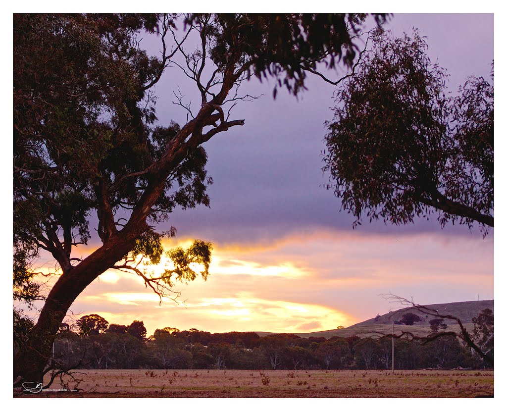
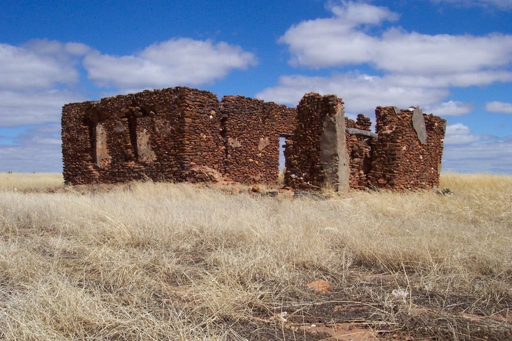
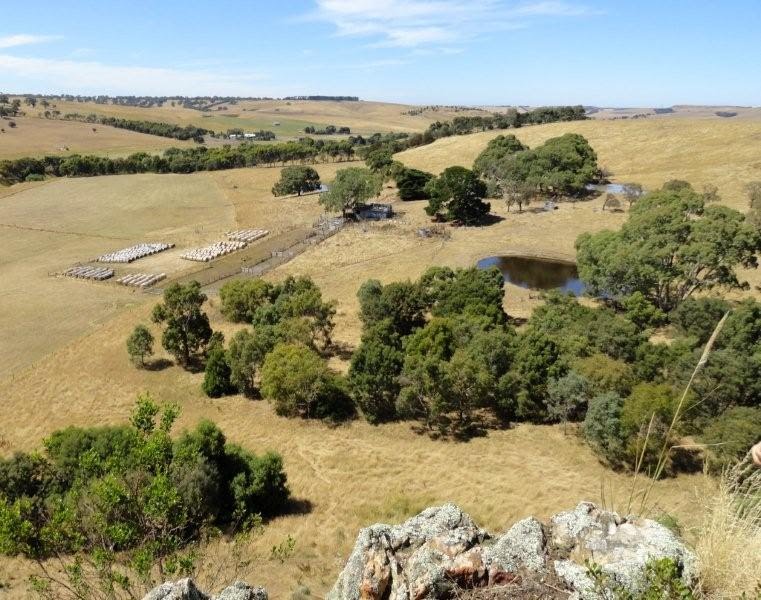
Photos of Kanya
Kanya Weather

Predicción: Overcast clouds
Temperatura: 13.0°
Humedad: 89%
Hora actual: 12:00 AM
Amanece: 08:56 PM
Anochece: 07:57 AM
Vasey, Australia
Latitude: -37.3709 // Longitude: 141.872
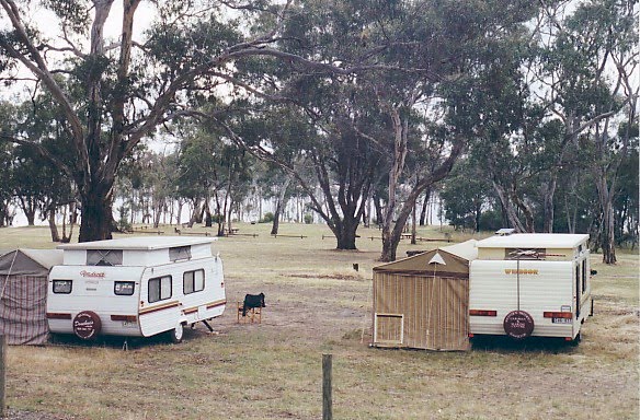
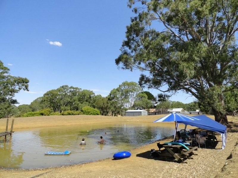
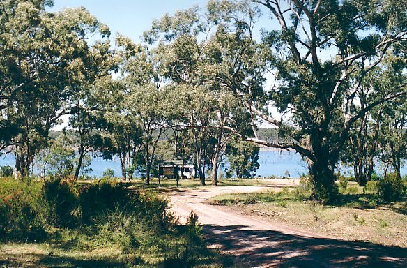
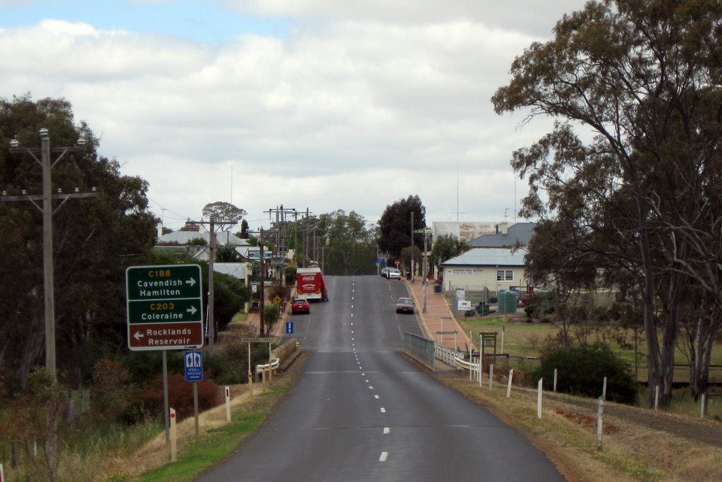
Photos of Vasey
Vasey Weather

Predicción: Broken clouds
Temperatura: 10.3°
Humedad: 89%
Hora actual: 12:00 AM
Amanece: 09:01 PM
Anochece: 08:01 AM


