Distance between Green pin with letter A Kandanga and Red pin with letter B Injune

258.37 mi Straight Distance

400.25 mi Driving Distance

6 hours 58 mins Estimated Driving Time

The straight distance between Kandanga (Queensland) and Injune (Queensland) is 258.37 mi, but the driving distance is 400.25 mi.

It takes to go from Kandanga to Injune.

Driving directions from Kandanga to Injune

Distance in kilometers

Straight distance: 415.72 km.      Route distance: 644.00 km

Kandanga, Australia

Latitude: -26.3903 // Longitude: 152.688

Photos of Kandanga

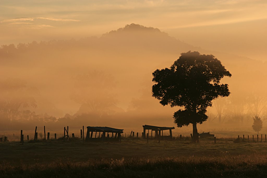
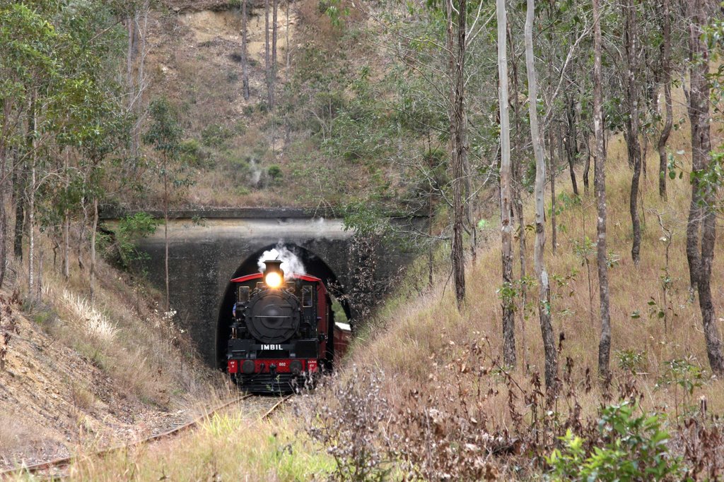
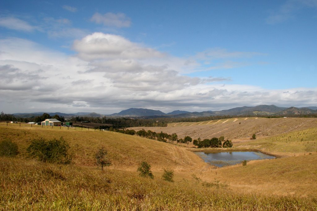
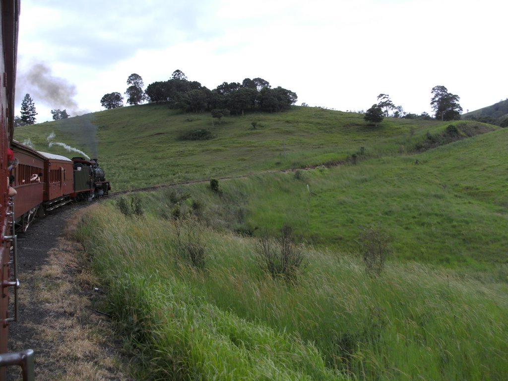
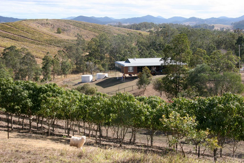
A Foggy Morning on Bollier Flat, Mary Valley, Queensland C17 (#802) emerges from the tunnel on the Mary Valley Line between Imbil and Kandanga, Queensland. Silhouettes in the mist Winter colours clothe the former pineapple farmland near Imbil, Queensland. Mt Eerwah rises in the east. C17 Mary Valley Rattler waiting at Kandanga station - if you blow this photo up, you can see the pipes running down the sides of the train, from the sand dome, which is the front dome. You can trace them in the shadows down to within a few cms of the trac A step back in time ...(Amamoor) Right hand bend on the c17 802 Mary Valley Rattler heading towards the Kandanga Bank Mangoes and pineapples are grown on small hill farms of the Mary Valley near Imbil, Queensland.

Kandanga Weather

overcast clouds

Predicción: Overcast clouds
Temperatura: 22.4°
Humedad: 78%

Hora actual: 12:45 PM
Amanece: 06:06 AM
Anochece: 05:30 PM

Injune, Australia

Latitude: -25.8429 // Longitude: 148.568

Photos of Injune

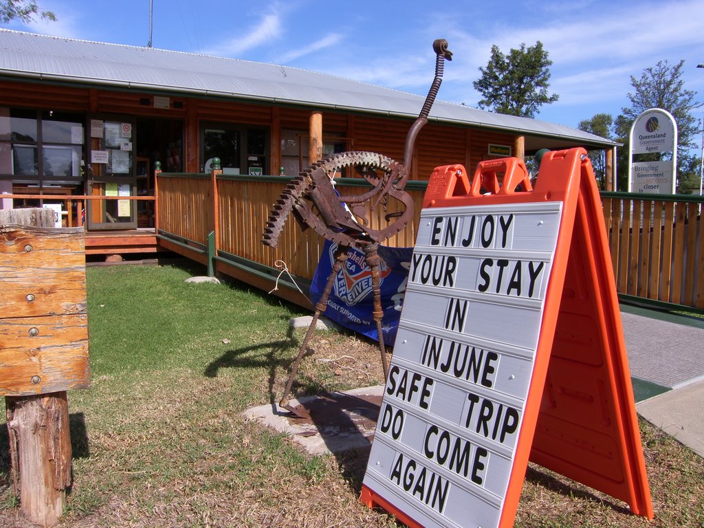
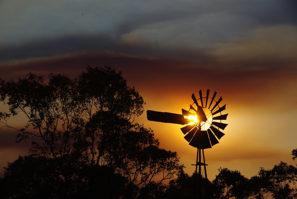
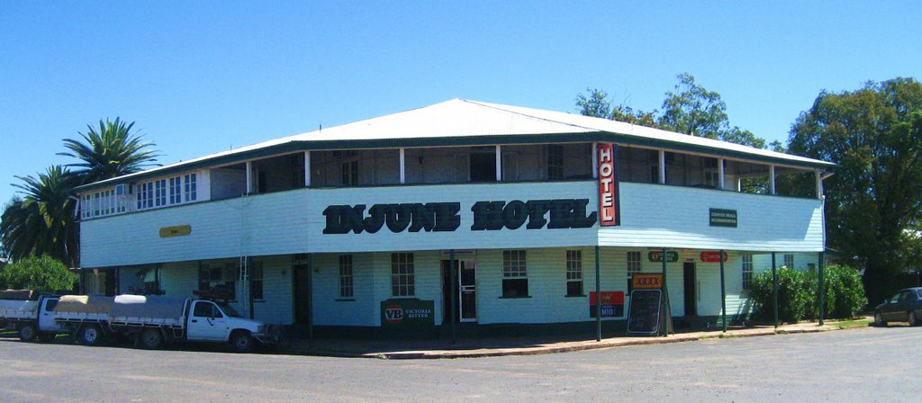
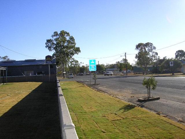
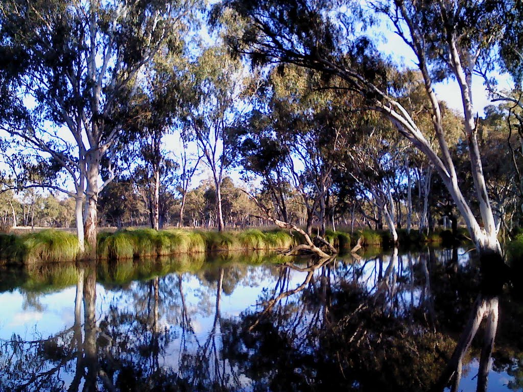
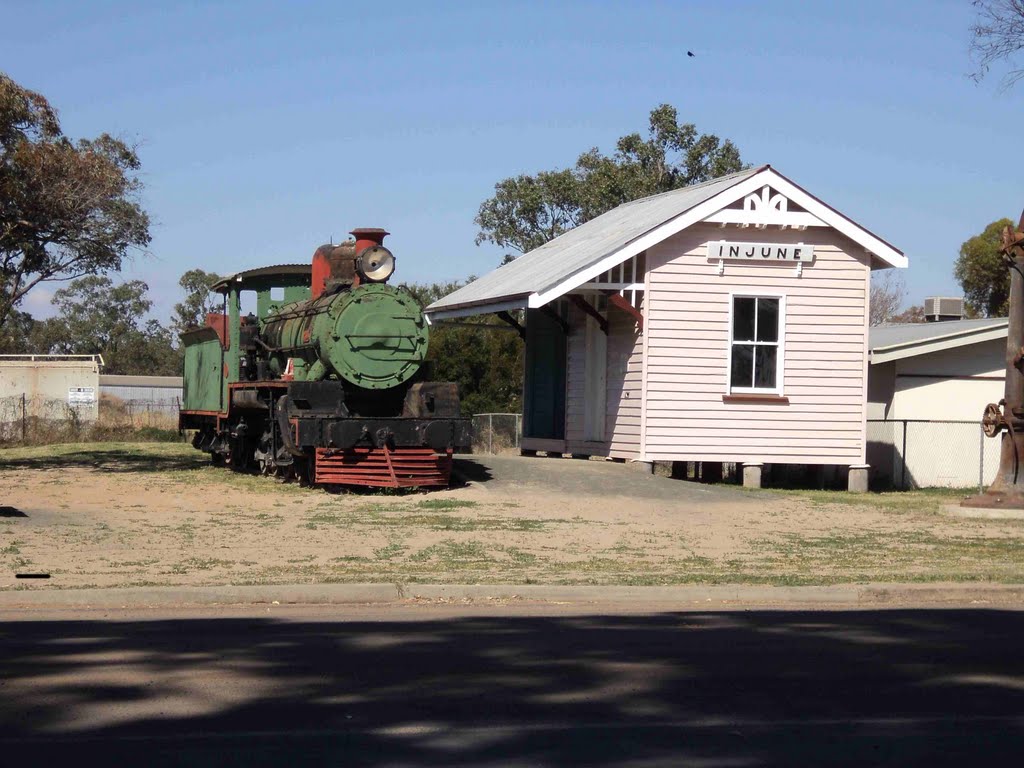
Informations center in Injune Carnarvon Highway Injune sunset Injune Hotel Old Fire Station Injune. Aug 09 Billabong at Injune Steam Loco and Station Display in Injune

Injune Weather

overcast clouds

Predicción: Overcast clouds
Temperatura: 24.7°
Humedad: 57%

Hora actual: 12:45 PM
Amanece: 06:22 AM
Anochece: 05:47 PM