Distance between  Kamona and
  Castra
80.30 mi Straight Distance
130.89 mi Driving Distance
2 hours 25 mins Estimated Driving Time
The straight distance between Kamona (Tasmania) and Castra (Tasmania) is 80.30 mi, but the driving distance is 130.89 mi.
It takes to go from Kamona to Castra.
Driving directions from Kamona to Castra
Distance in kilometers
Straight distance: 129.21 km. Route distance: 210.60 km
Kamona, Australia
Latitude: -41.1478 // Longitude: 147.65
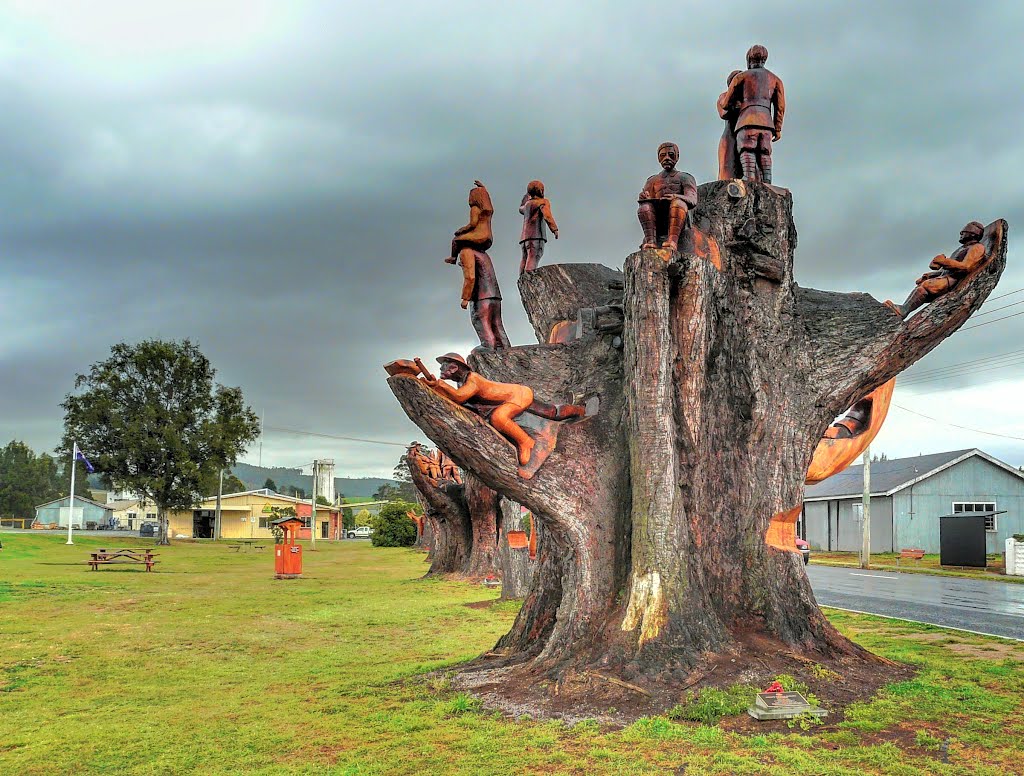
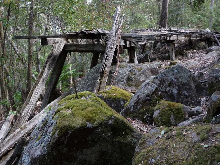
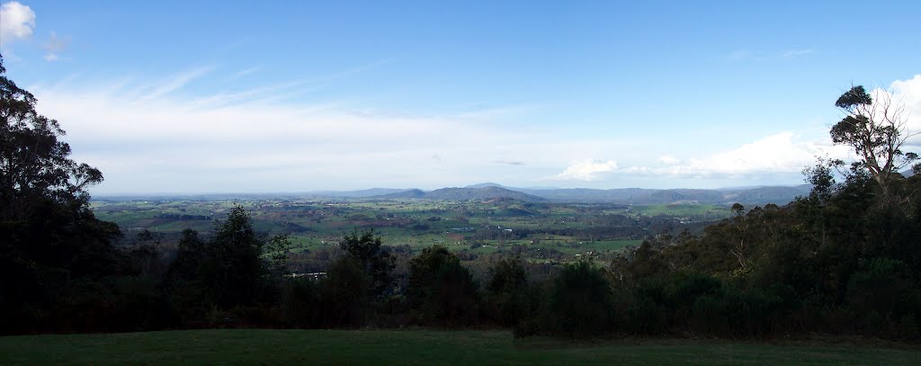
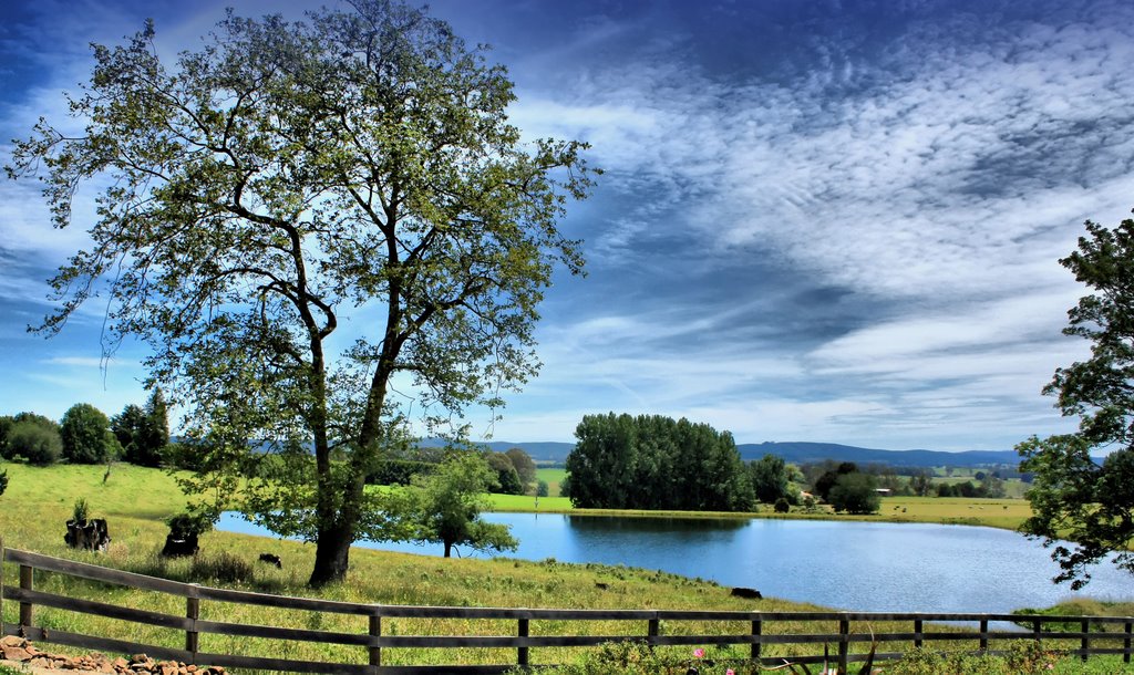
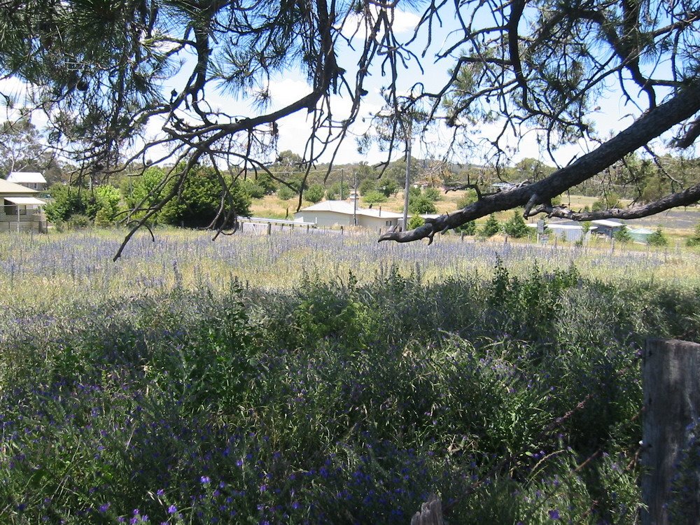
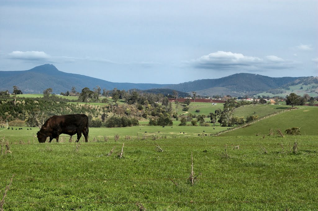
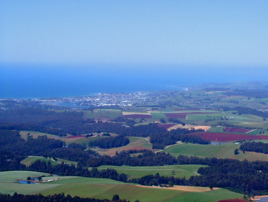
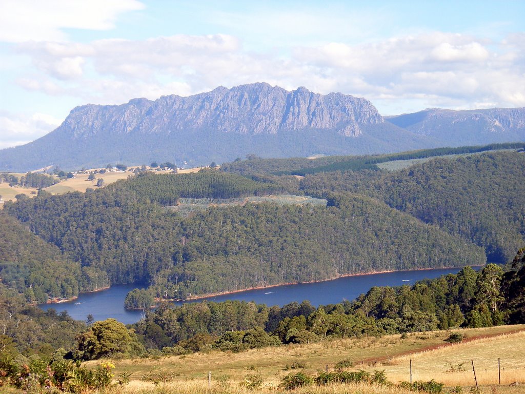
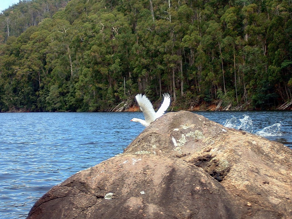
Photos of Kamona
Kamona Weather

Predicción: Clear sky
Temperatura: 8.1°
Humedad: 86%
Hora actual: 12:00 AM
Amanece: 08:43 PM
Anochece: 07:33 AM
Castra, Australia
Latitude: -41.2869 // Longitude: 146.116
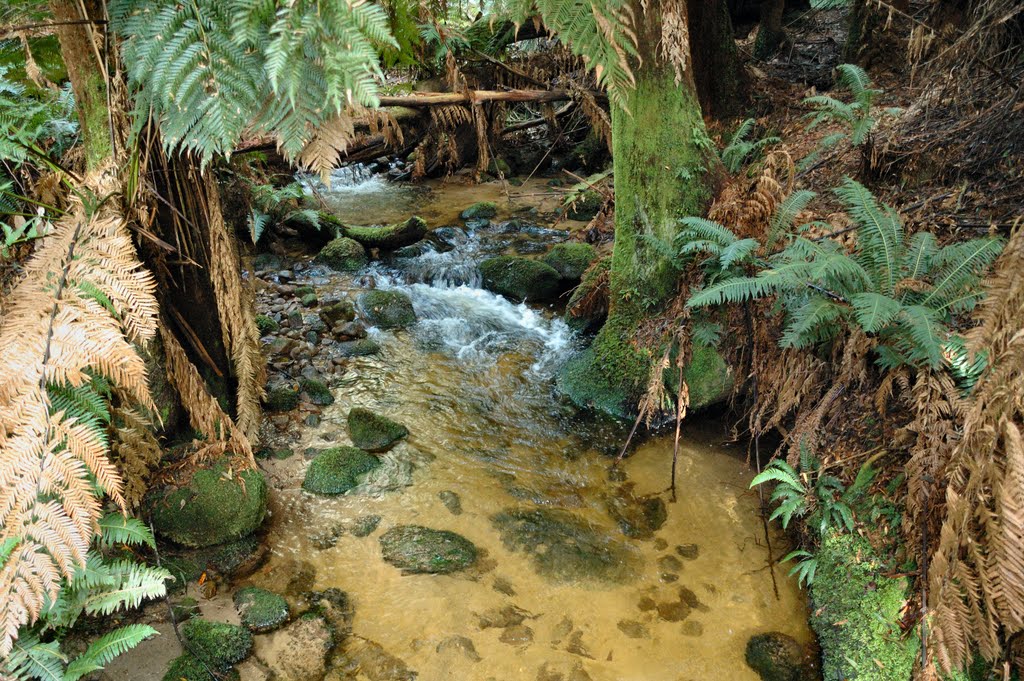
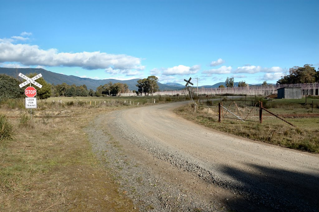
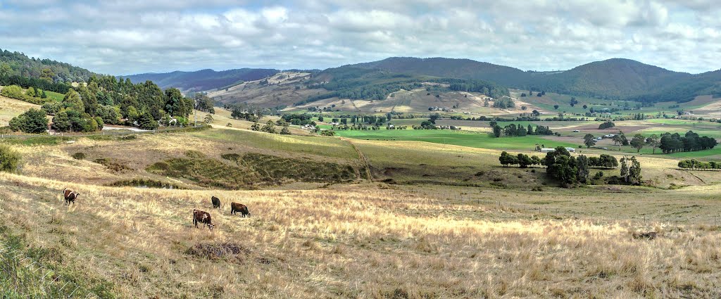
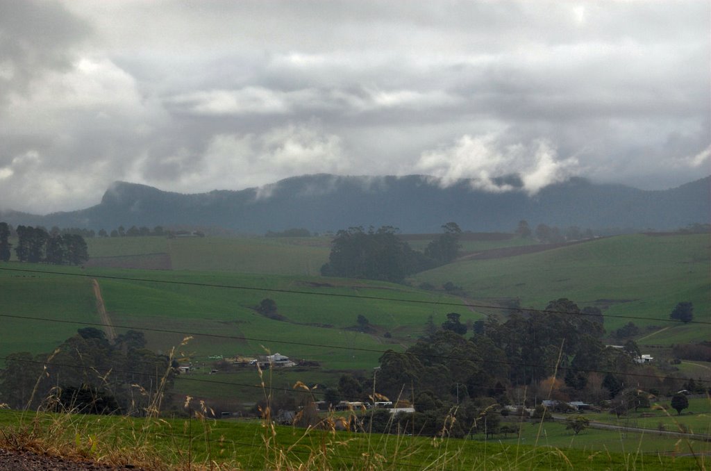
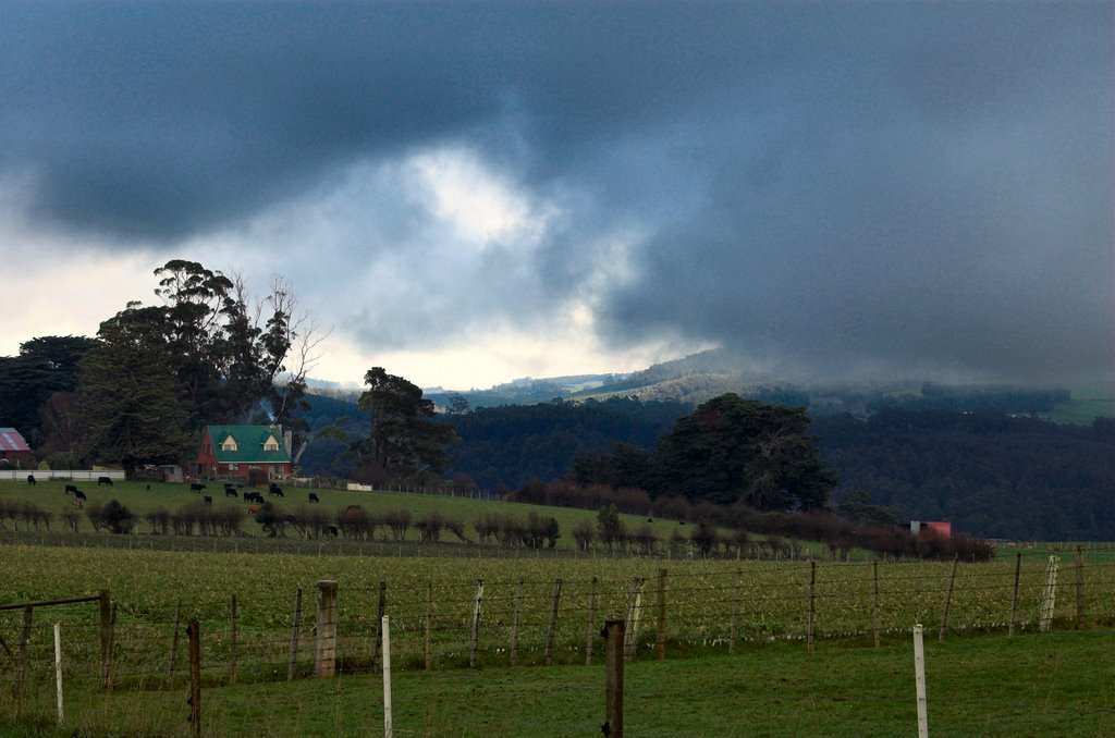
Photos of Castra
Castra Weather

Predicción: Clear sky
Temperatura: 6.9°
Humedad: 85%
Hora actual: 12:00 AM
Amanece: 08:49 PM
Anochece: 07:39 AM


