Distance between  Kamarooka and
  Speed
Speed
129.81 mi Straight Distance
171.96 mi Driving Distance
2 hours 51 mins Estimated Driving Time
The straight distance between Kamarooka (Victoria) and Speed (Victoria) is 129.81 mi, but the driving distance is 171.96 mi.
It takes to go from Kamarooka to Speed.
Driving directions from Kamarooka to Speed
Distance in kilometers
Straight distance: 208.87 km. Route distance: 276.68 km
Kamarooka, Australia
Latitude: -36.4725 // Longitude: 144.344
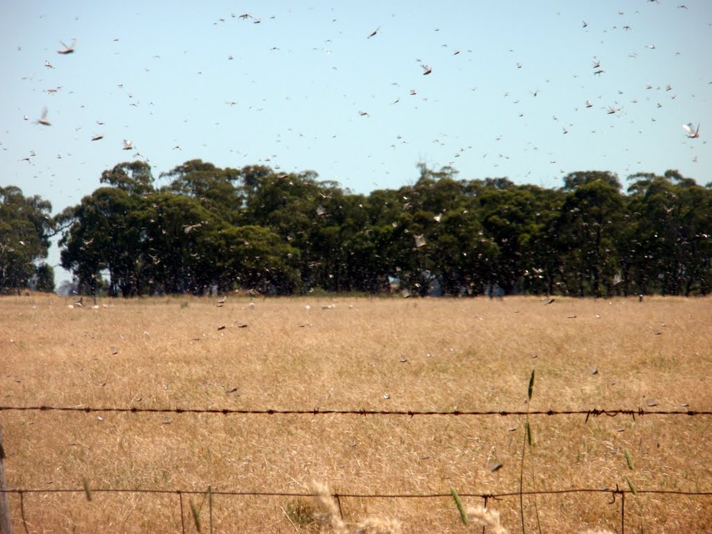
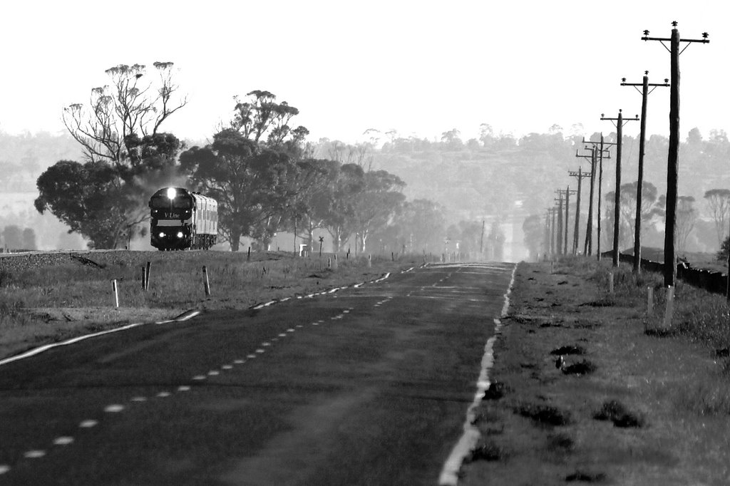
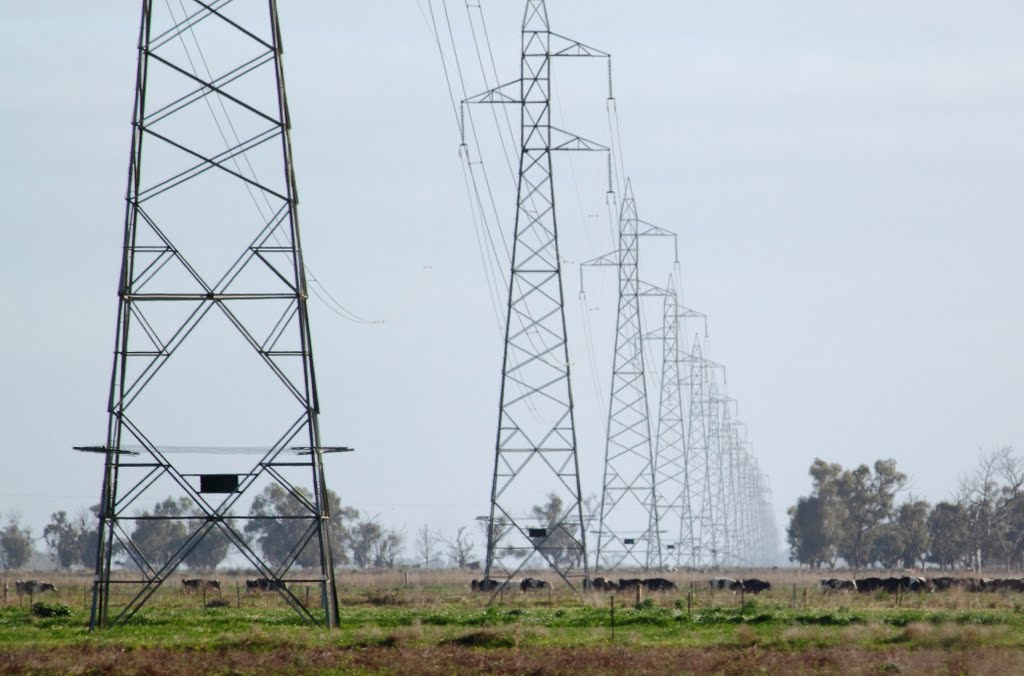
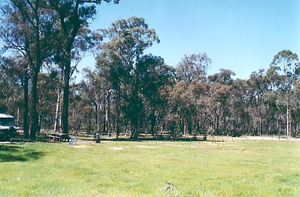
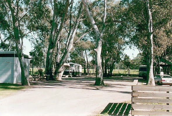
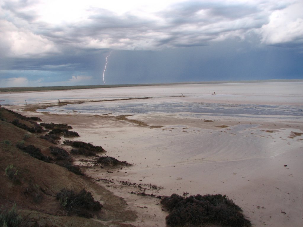
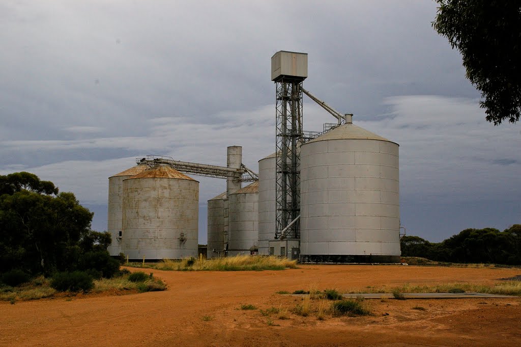
Photos of Kamarooka
Kamarooka Weather

Predicción: Overcast clouds
Temperatura: 14.4°
Humedad: 74%
Hora actual: 12:00 AM
Amanece: 08:49 PM
Anochece: 07:55 AM
Speed, Australia
Latitude: -35.4008 // Longitude: 142.438
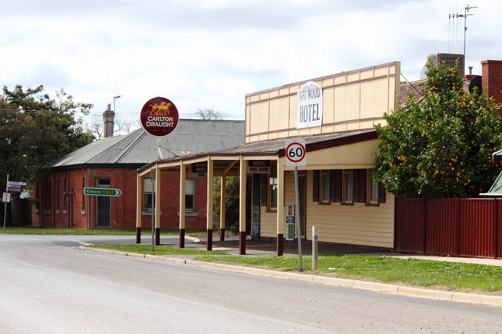
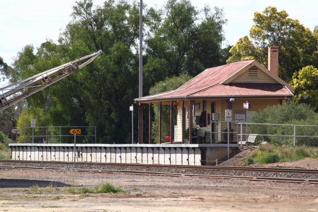
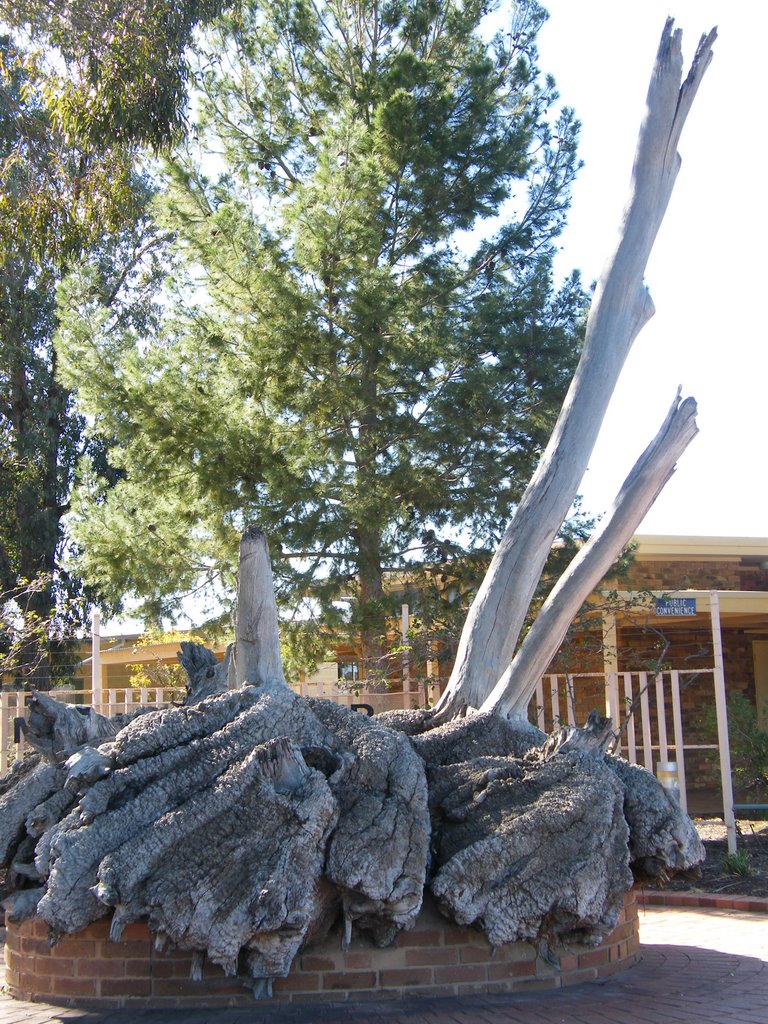
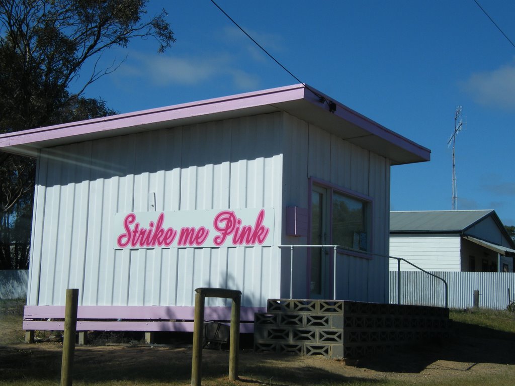
Photos of Speed
Speed Weather

Predicción: Broken clouds
Temperatura: 16.4°
Humedad: 50%
Hora actual: 12:00 AM
Amanece: 08:55 PM
Anochece: 08:04 AM


