Distance between  Kalgoorlie and
  Yongala
1,024.38 mi Straight Distance
1,243.26 mi Driving Distance
19 hours 51 mins Estimated Driving Time
The straight distance between Kalgoorlie (Western Australia) and Yongala (South Australia) is 1,024.38 mi, but the driving distance is 1,243.26 mi.
It takes to go from Kalgoorlie to Yongala.
Driving directions from Kalgoorlie to Yongala
Distance in kilometers
Straight distance: 1,648.23 km. Route distance: 2,000.41 km
Kalgoorlie, Australia
Latitude: -30.747 // Longitude: 121.475
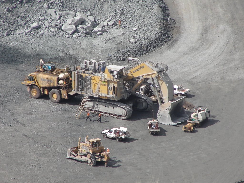
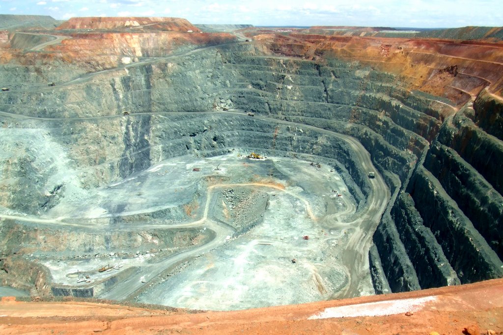
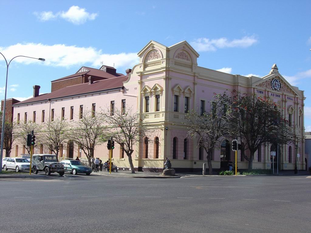
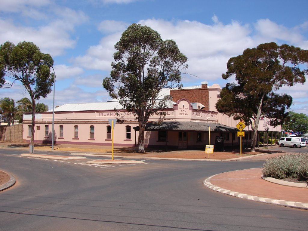
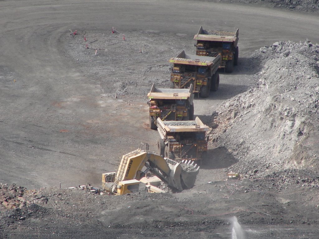
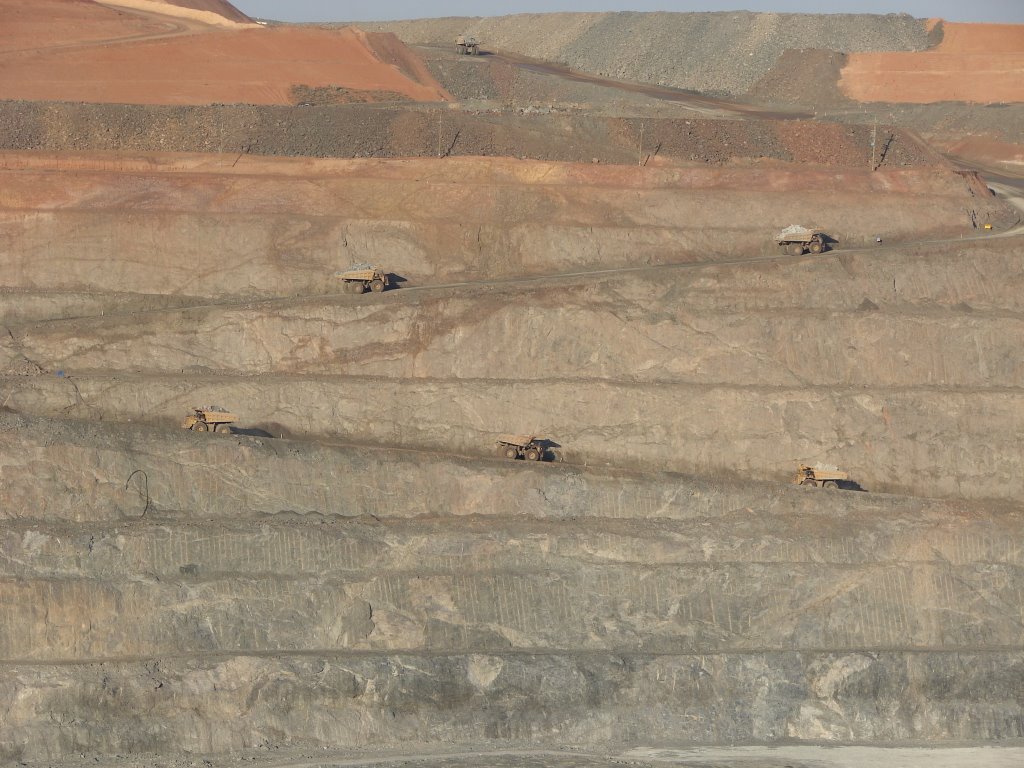
Photos of Kalgoorlie
Kalgoorlie Weather

Predicción: Clear sky
Temperatura: 20.8°
Humedad: 49%
Hora actual: 11:02 AM
Amanece: 06:15 AM
Anochece: 05:30 PM
Yongala, Australia
Latitude: -33.0294 // Longitude: 138.749
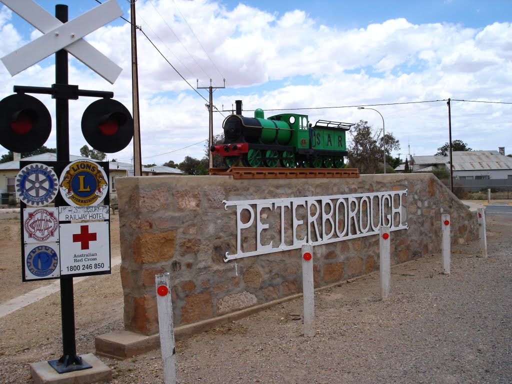
Photos of Yongala
Yongala Weather

Predicción: Clear sky
Temperatura: 17.9°
Humedad: 33%
Hora actual: 08:00 AM
Amanece: 05:09 AM
Anochece: 04:19 PM


