Distance between  Kalgoorlie and
  Wirrulla
776.67 mi Straight Distance
928.58 mi Driving Distance
15 hours 0 mins Estimated Driving Time
The straight distance between Kalgoorlie (Western Australia) and Wirrulla (South Australia) is 776.67 mi, but the driving distance is 928.58 mi.
It takes 15 hours 3 mins to go from Kalgoorlie to Wirrulla.
Driving directions from Kalgoorlie to Wirrulla
Distance in kilometers
Straight distance: 1,249.67 km. Route distance: 1,494.09 km
Kalgoorlie, Australia
Latitude: -30.747 // Longitude: 121.475
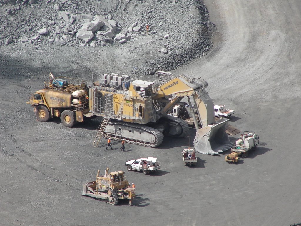
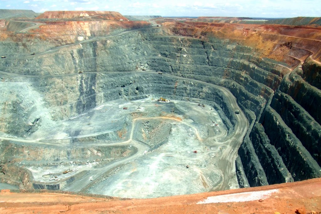
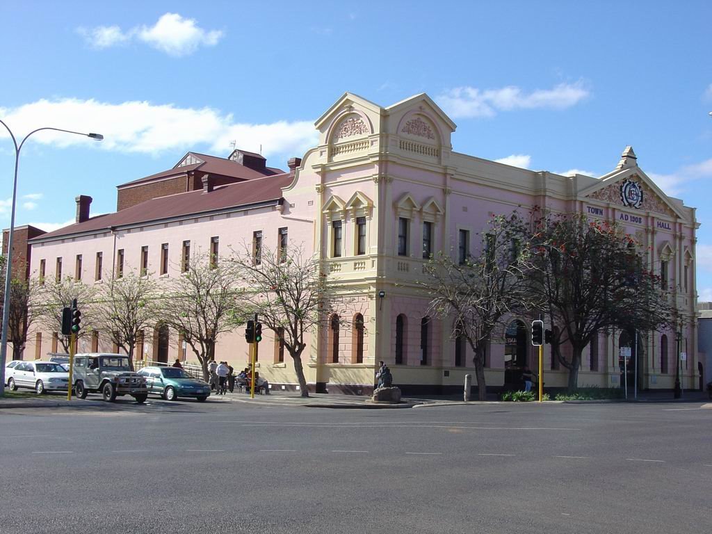
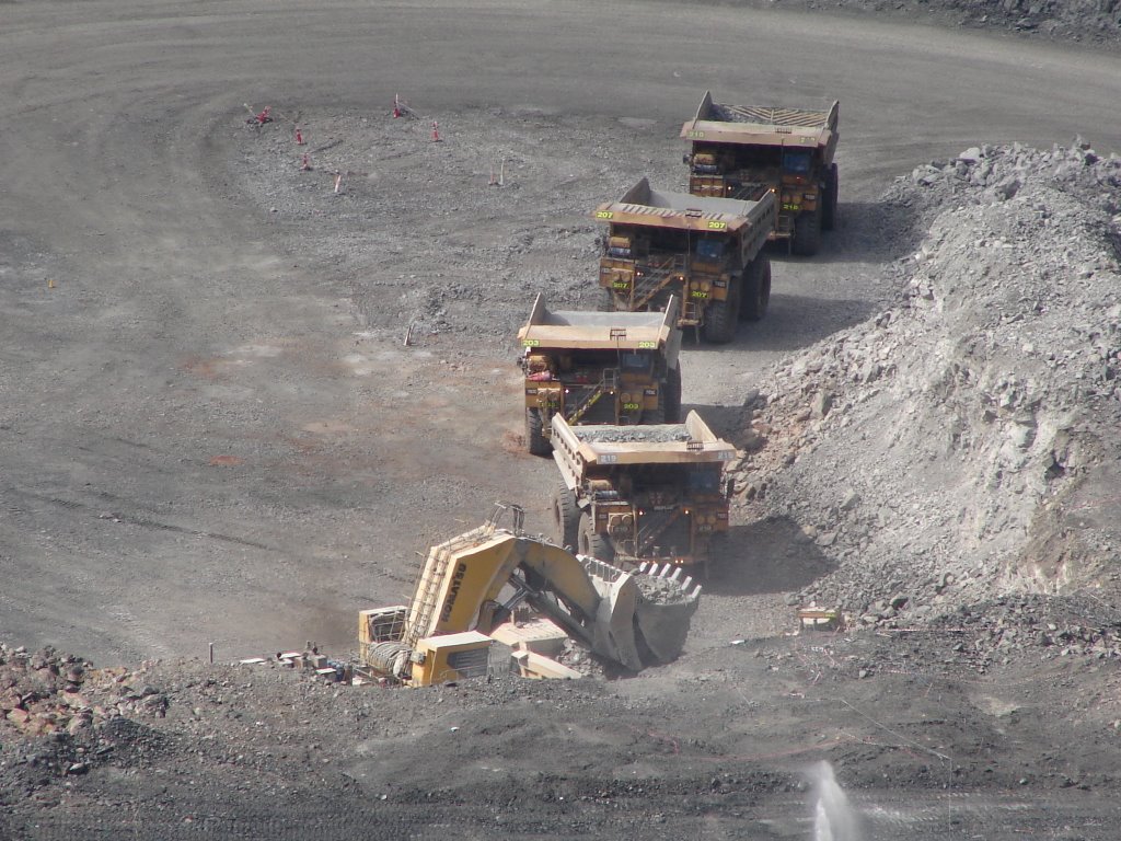
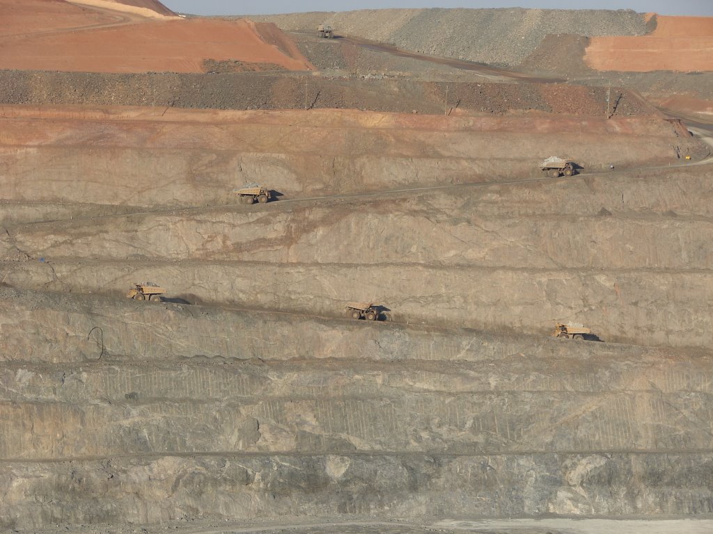
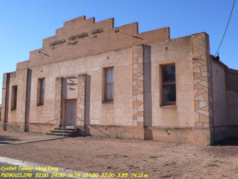
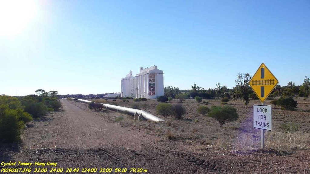
Photos of Kalgoorlie
Kalgoorlie Weather

Predicción: Clear sky
Temperatura: 20.8°
Humedad: 49%
Hora actual: 12:14 PM
Amanece: 06:15 AM
Anochece: 05:30 PM
Wirrulla, Australia
Latitude: -32.4038 // Longitude: 134.534
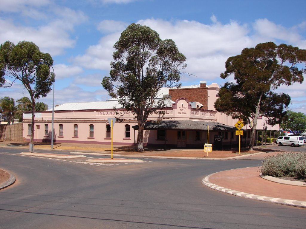
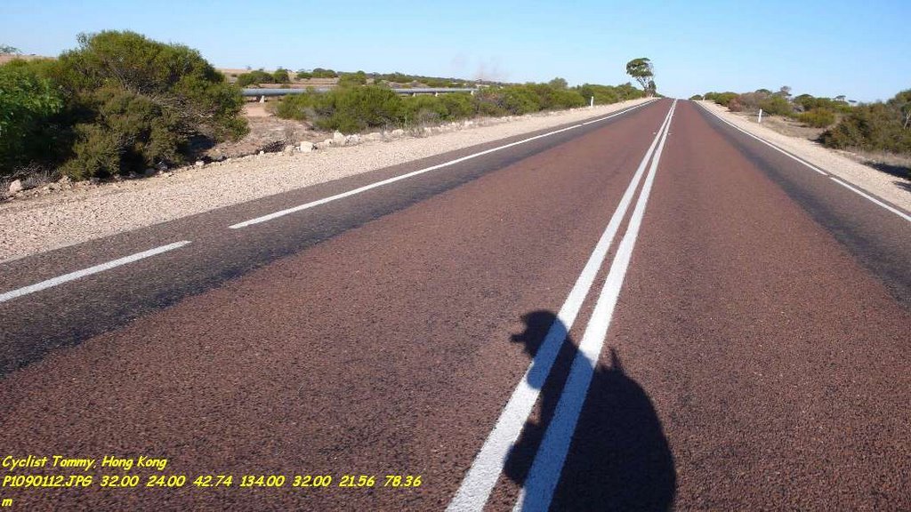
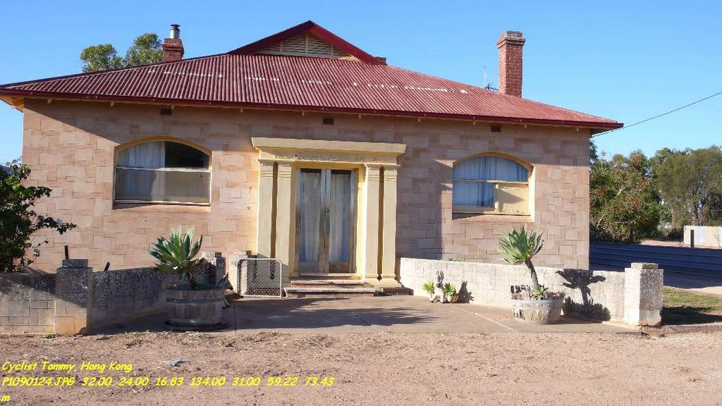
Photos of Wirrulla
Wirrulla Weather

Predicción: Clear sky
Temperatura: 22.1°
Humedad: 33%
Hora actual: 08:00 AM
Amanece: 05:25 AM
Anochece: 04:36 PM


