Distance between  Kalgoorlie and
  Gnowangerup
299.21 mi Straight Distance
379.32 mi Driving Distance
6 hours 17 mins Estimated Driving Time
The straight distance between Kalgoorlie (Western Australia) and Gnowangerup (Western Australia) is 299.21 mi, but the driving distance is 379.32 mi.
It takes 8 hours 1 min to go from Kalgoorlie to Gnowangerup.
Driving directions from Kalgoorlie to Gnowangerup
Distance in kilometers
Straight distance: 481.42 km. Route distance: 610.32 km
Kalgoorlie, Australia
Latitude: -30.747 // Longitude: 121.475
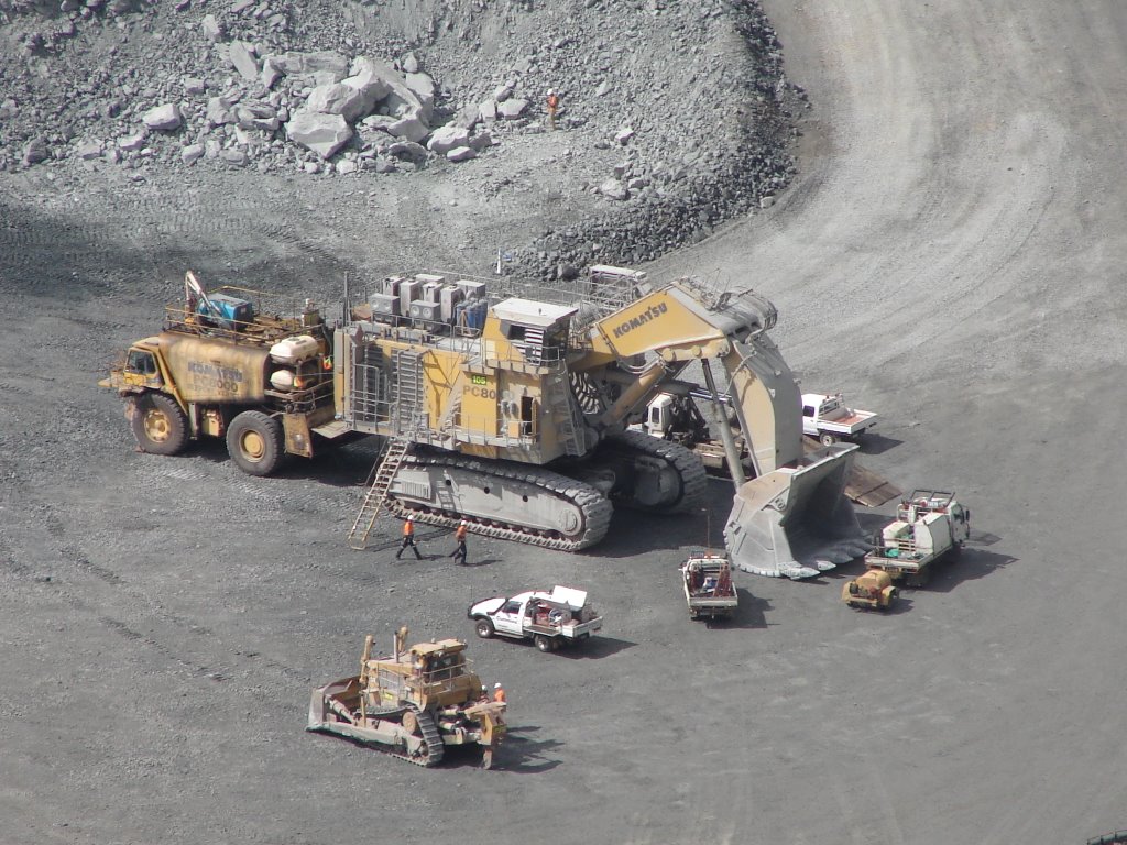
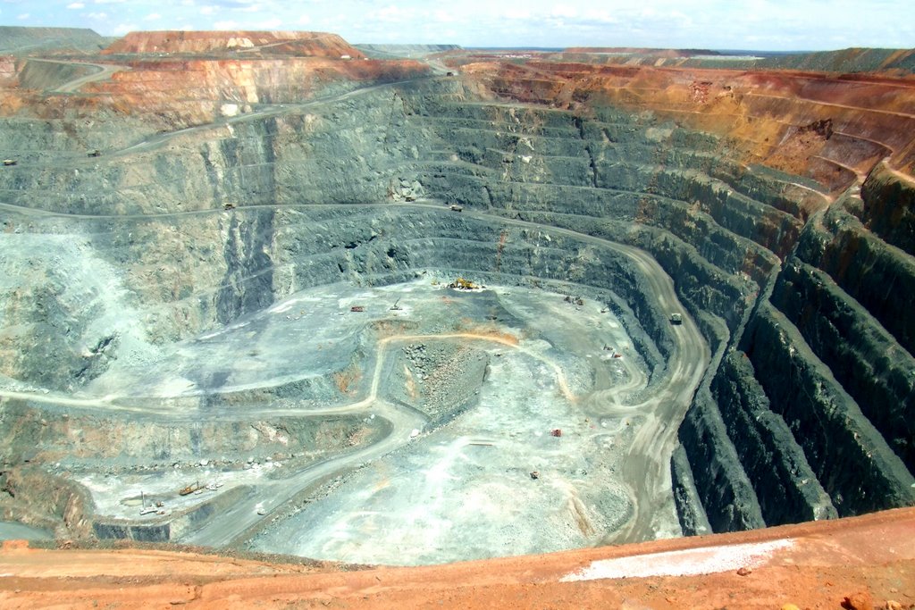
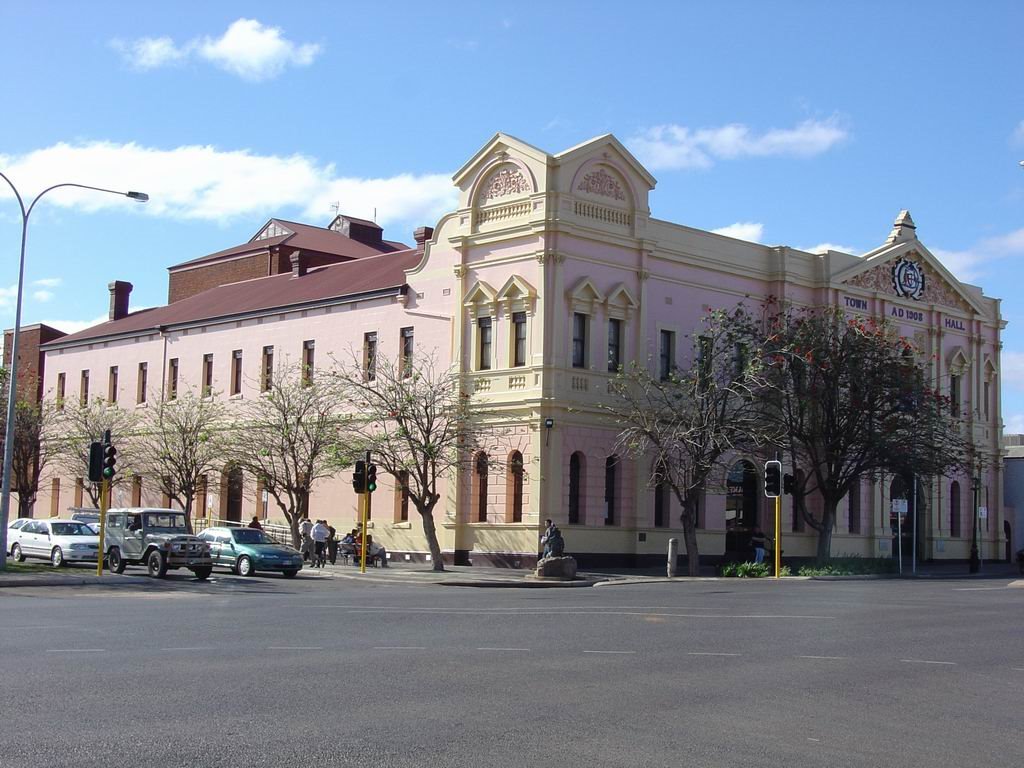
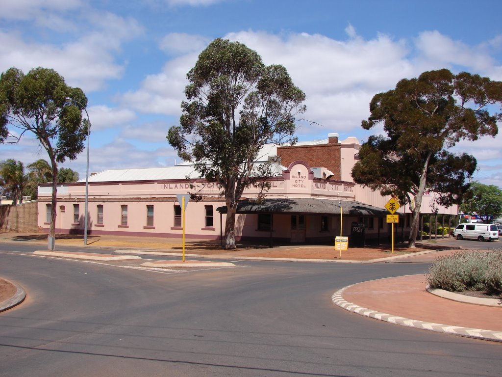
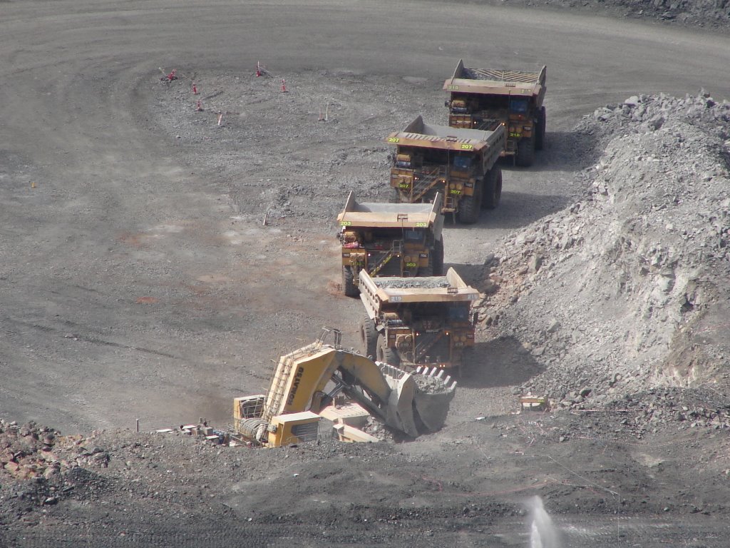
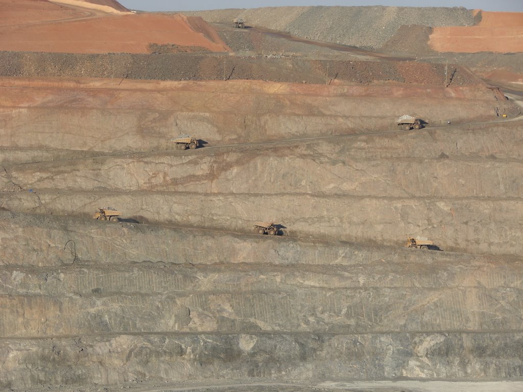
Photos of Kalgoorlie
Kalgoorlie Weather

Predicción: Clear sky
Temperatura: 21.8°
Humedad: 46%
Hora actual: 08:16 PM
Amanece: 06:14 AM
Anochece: 05:32 PM
Gnowangerup, Australia
Latitude: -33.9374 // Longitude: 118.008
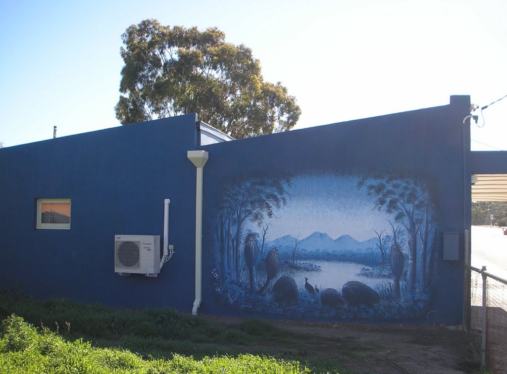
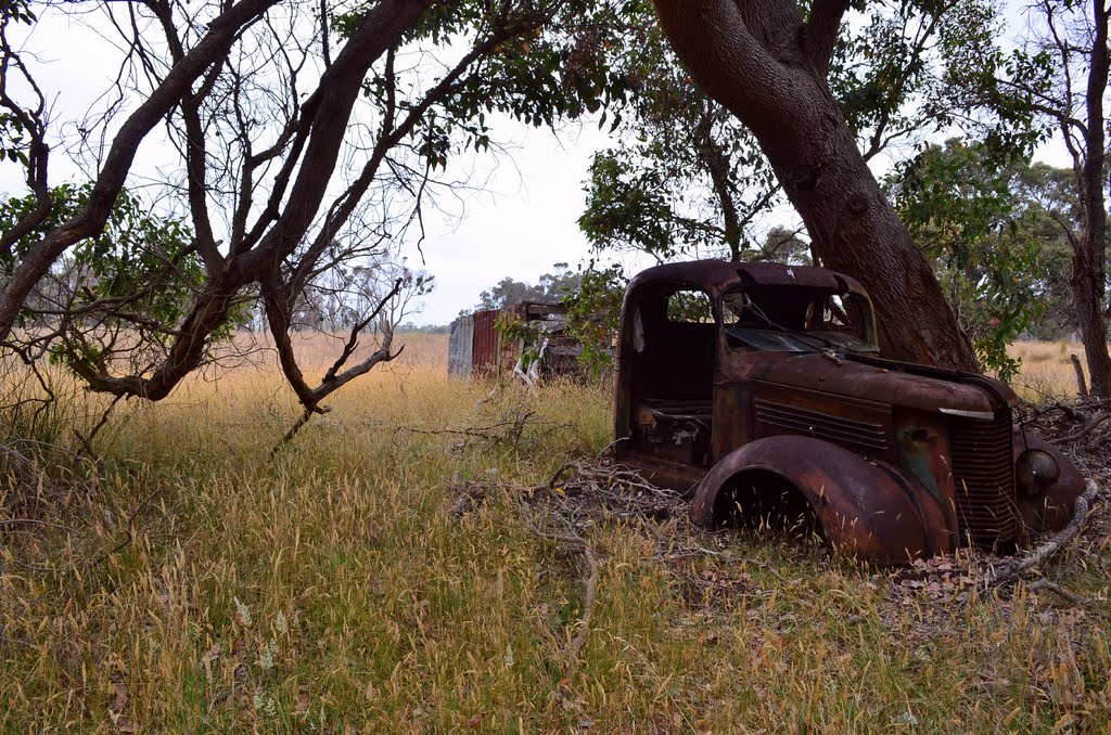
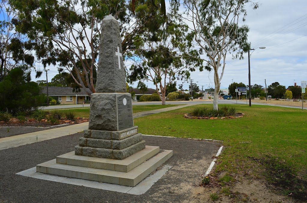
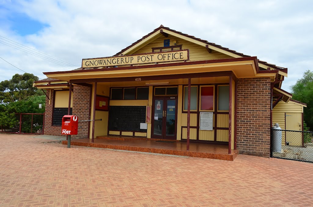
Photos of Gnowangerup
Gnowangerup Weather

Predicción: Few clouds
Temperatura: 16.3°
Humedad: 72%
Hora actual: 08:16 PM
Amanece: 06:31 AM
Anochece: 05:43 PM


