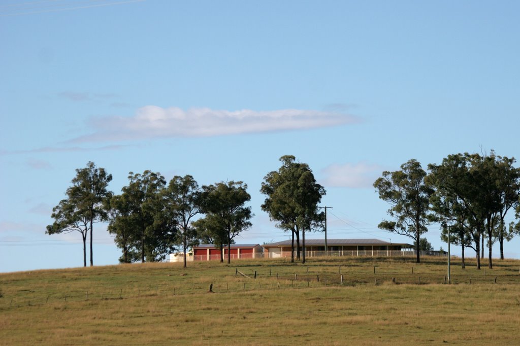
Distance between  Kaimkillenbun and
  Forest Hill
67.39 mi Straight Distance
96.54 mi Driving Distance
1 hour 46 mins Estimated Driving Time
The straight distance between Kaimkillenbun (Queensland) and Forest Hill (Queensland) is 67.39 mi, but the driving distance is 96.54 mi.
It takes to go from Kaimkillenbun to Forest Hill.
Driving directions from Kaimkillenbun to Forest Hill
Distance in kilometers
Straight distance: 108.44 km. Route distance: 155.33 km
Kaimkillenbun, Australia
Latitude: -27.061 // Longitude: 151.435
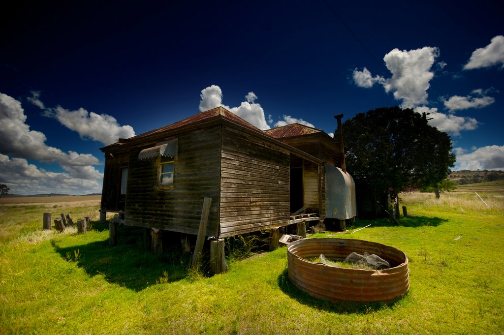
Photos of Kaimkillenbun
Kaimkillenbun Weather

Predicción: Clear sky
Temperatura: 24.2°
Humedad: 41%
Hora actual: 12:00 AM
Amanece: 08:13 PM
Anochece: 07:33 AM
Forest Hill, Australia
Latitude: -27.5906 // Longitude: 152.357
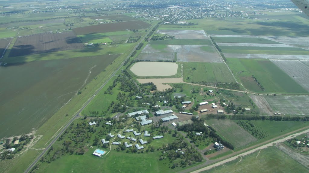
Photos of Forest Hill
Forest Hill Weather

Predicción: Clear sky
Temperatura: 25.8°
Humedad: 36%
Hora actual: 11:40 AM
Amanece: 06:09 AM
Anochece: 05:29 PM


