Distance between  Johanna and
  Bung Bong
114.90 mi Straight Distance
157.13 mi Driving Distance
3 hours 35 mins Estimated Driving Time
The straight distance between Johanna (Victoria) and Bung Bong (Victoria) is 114.90 mi, but the driving distance is 157.13 mi.
It takes to go from Johanna to Bung Bong.
Driving directions from Johanna to Bung Bong
Distance in kilometers
Straight distance: 184.88 km. Route distance: 252.82 km
Johanna, Australia
Latitude: -38.7579 // Longitude: 143.377
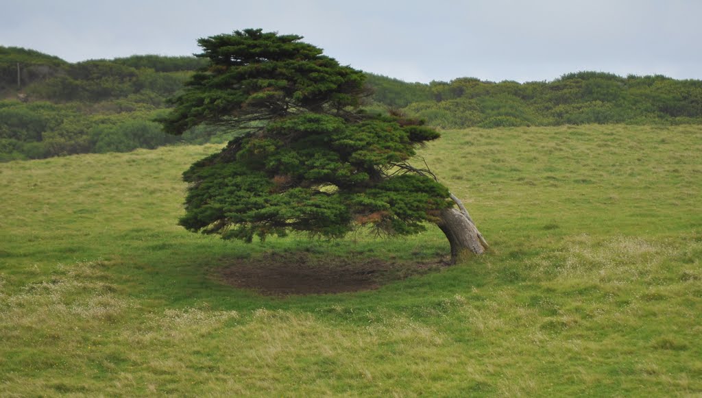
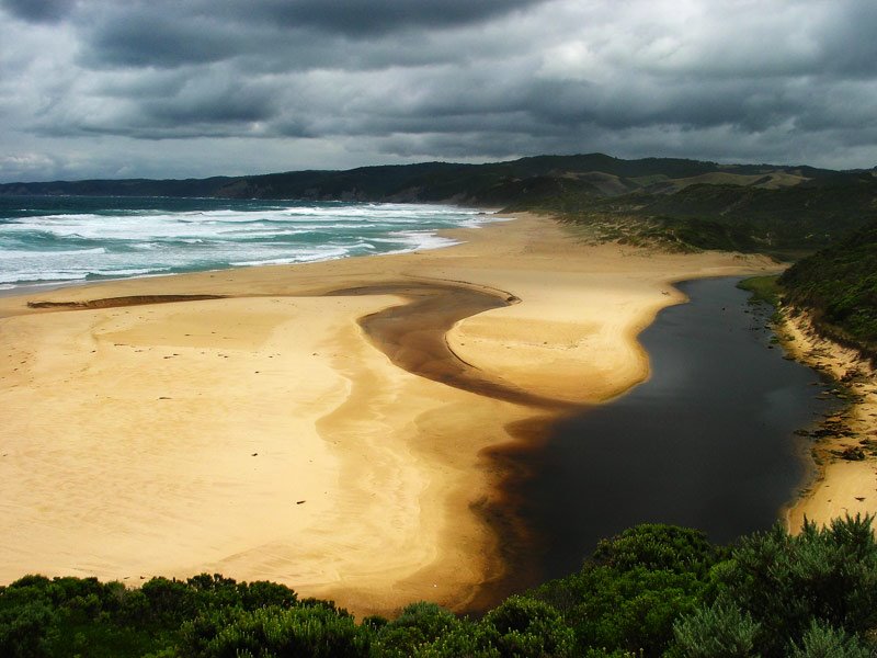
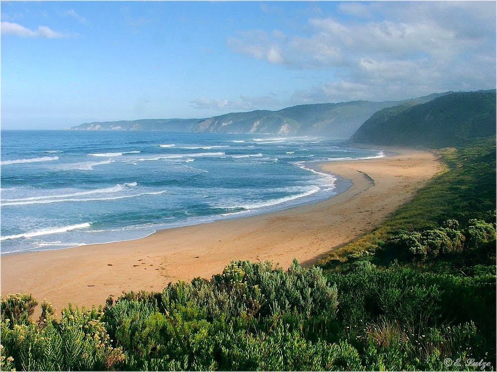
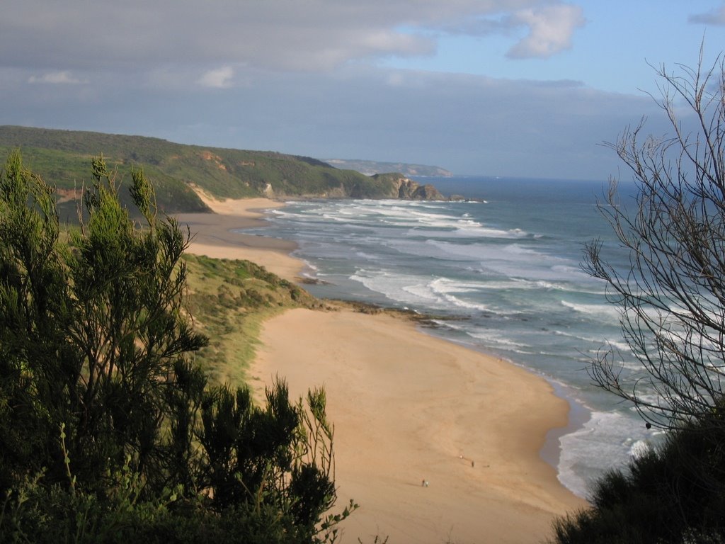
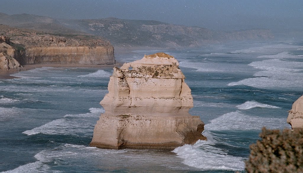
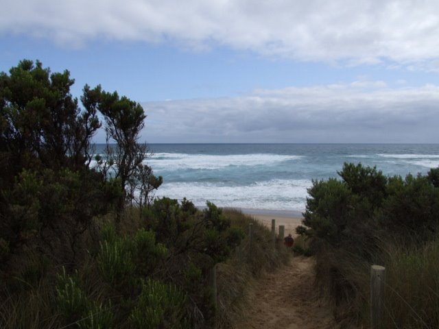
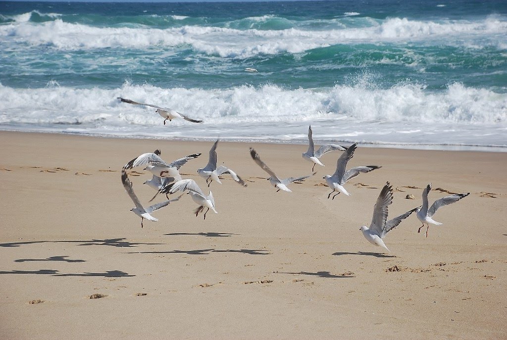
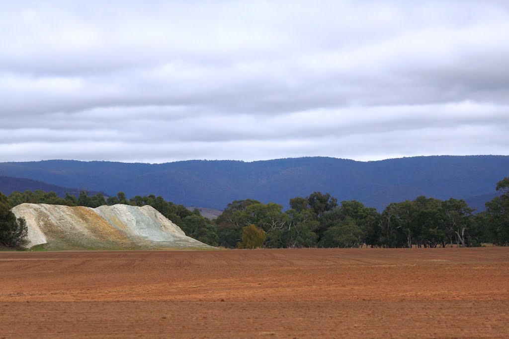
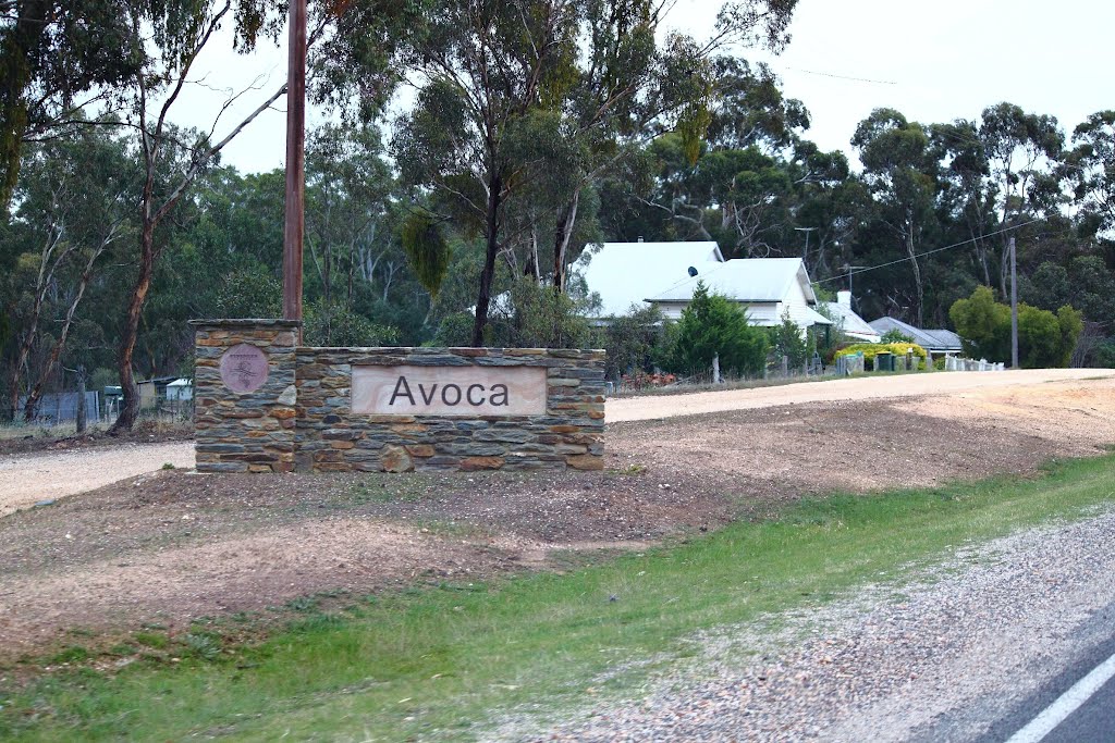
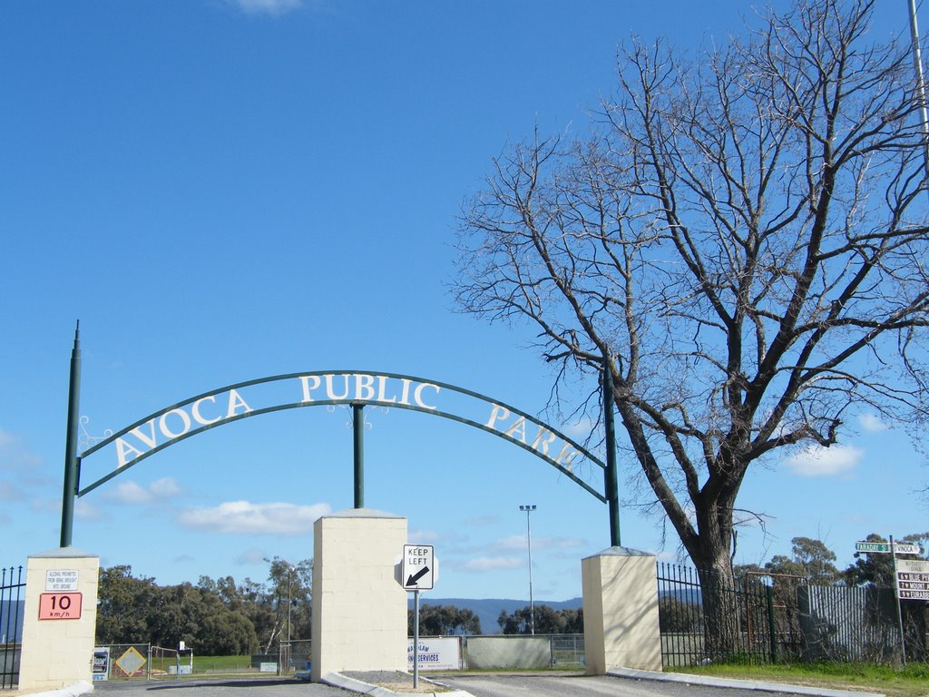
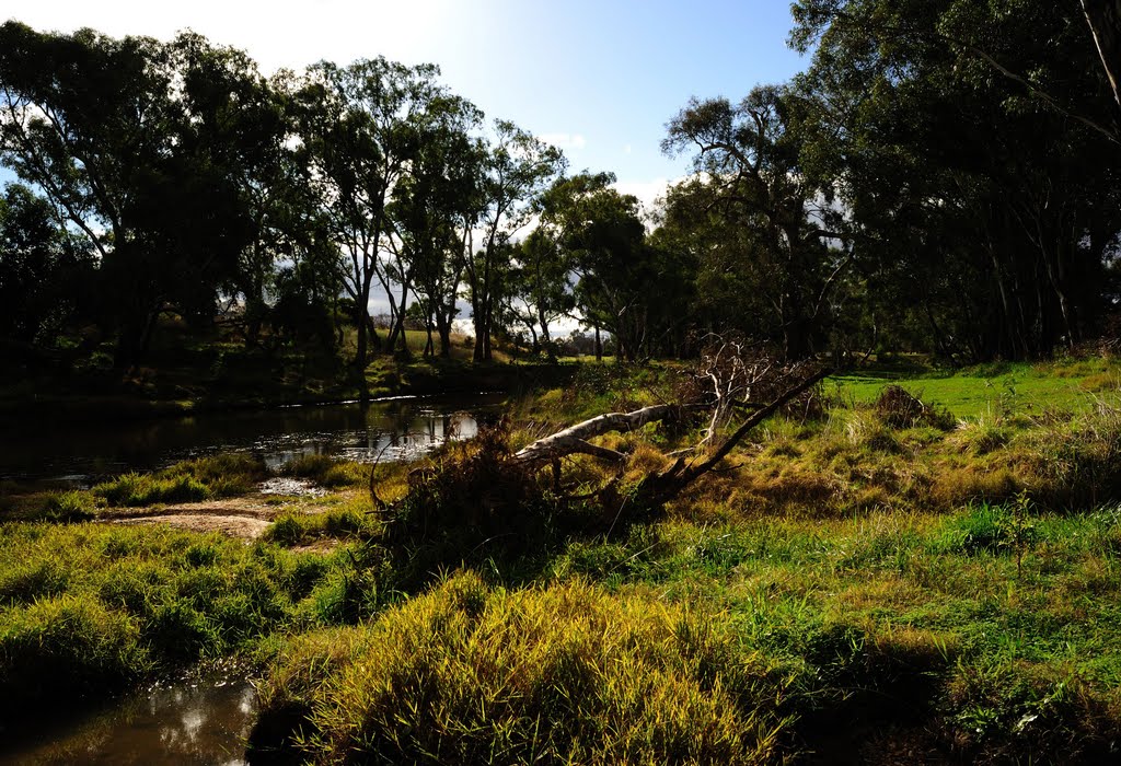
Photos of Johanna
Johanna Weather

Predicción: Overcast clouds
Temperatura: 12.4°
Humedad: 97%
Hora actual: 12:00 AM
Amanece: 08:57 PM
Anochece: 07:53 AM
Bung Bong, Australia
Latitude: -37.1016 // Longitude: 143.566
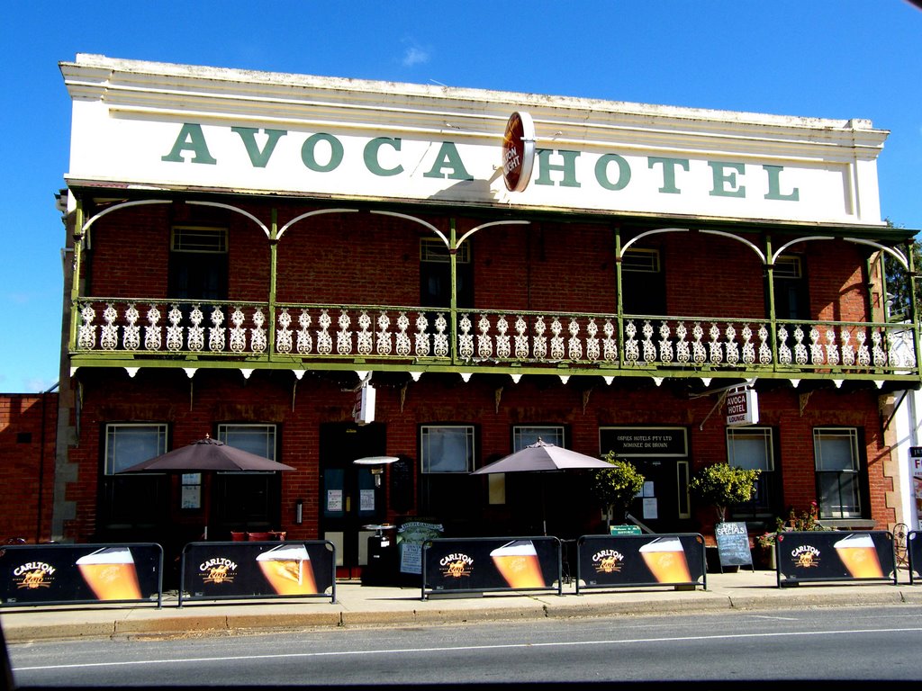
Photos of Bung Bong
Bung Bong Weather

Predicción: Broken clouds
Temperatura: 15.5°
Humedad: 51%
Hora actual: 12:00 AM
Amanece: 08:54 PM
Anochece: 07:55 AM


