Distance between  Jitarning and
  Horrocks
371.01 mi Straight Distance
457.81 mi Driving Distance
7 hours 23 mins Estimated Driving Time
The straight distance between Jitarning (Western Australia) and Horrocks (Western Australia) is 371.01 mi, but the driving distance is 457.81 mi.
It takes to go from Jitarning to Horrocks.
Driving directions from Jitarning to Horrocks
Distance in kilometers
Straight distance: 596.96 km. Route distance: 736.62 km
Jitarning, Australia
Latitude: -32.7869 // Longitude: 118.003
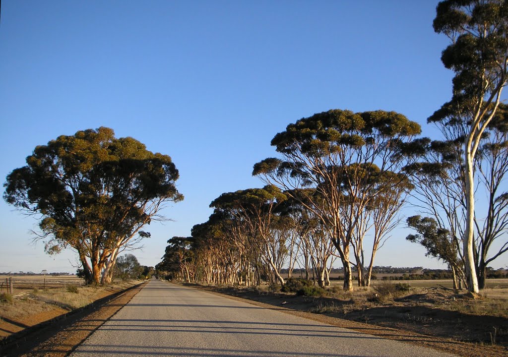
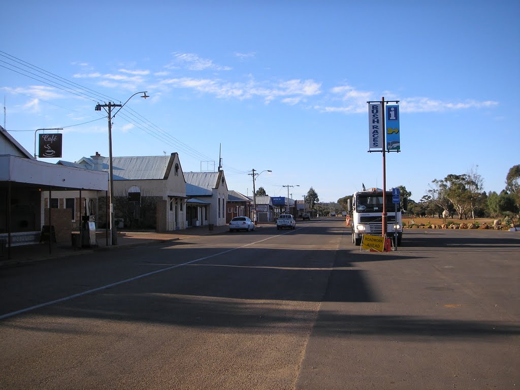
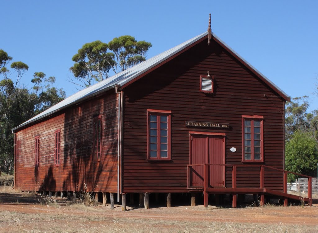
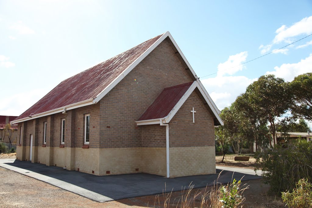
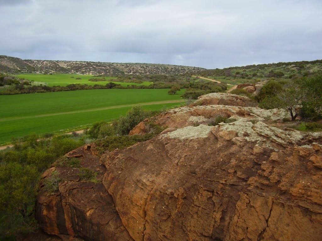
Photos of Jitarning
Jitarning Weather

Predicción: Clear sky
Temperatura: 16.0°
Humedad: 41%
Hora actual: 12:00 AM
Amanece: 10:32 PM
Anochece: 09:42 AM
Horrocks, Australia
Latitude: -28.3825 // Longitude: 114.433
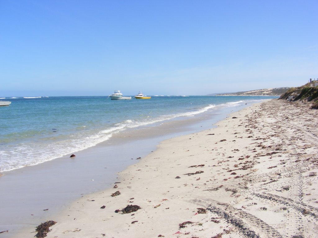
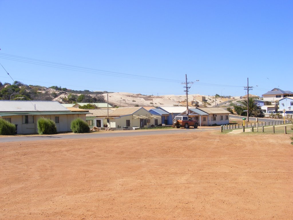
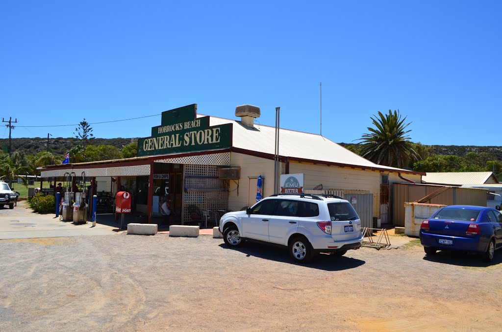
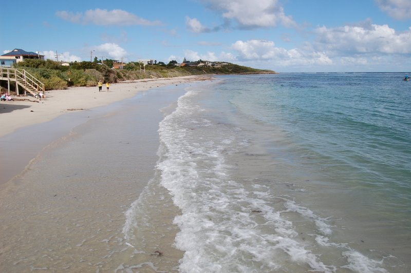
Photos of Horrocks
Horrocks Weather

Predicción: Clear sky
Temperatura: 25.9°
Humedad: 36%
Hora actual: 12:00 AM
Amanece: 10:41 PM
Anochece: 10:00 AM


