Distance between  Jil Jil and
  Illawarra
86.55 mi Straight Distance
100.74 mi Driving Distance
1 hour 45 mins Estimated Driving Time
The straight distance between Jil Jil (Victoria) and Illawarra (Victoria) is 86.55 mi, but the driving distance is 100.74 mi.
It takes to go from Jil Jil to Illawarra.
Driving directions from Jil Jil to Illawarra
Distance in kilometers
Straight distance: 139.26 km. Route distance: 162.10 km
Jil Jil, Australia
Latitude: -35.8323 // Longitude: 142.993
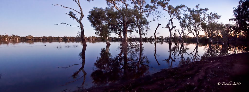
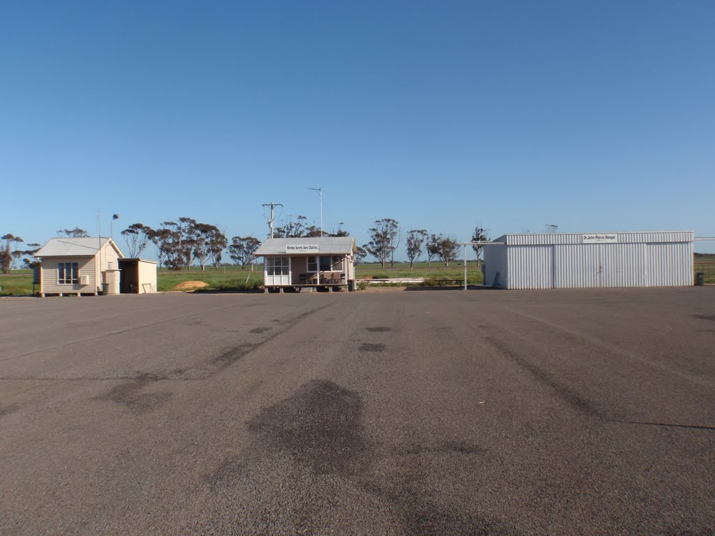
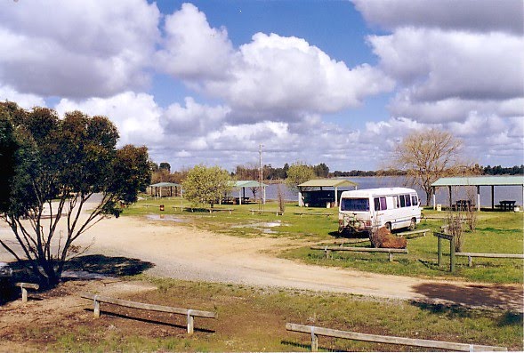
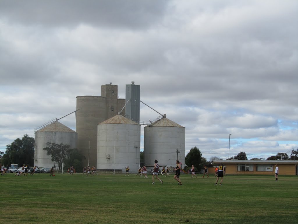
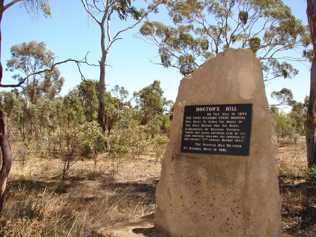
Photos of Jil Jil
Jil Jil Weather

Predicción: Overcast clouds
Temperatura: 14.6°
Humedad: 67%
Hora actual: 12:00 AM
Amanece: 08:53 PM
Anochece: 08:01 AM
Illawarra, Australia
Latitude: -37.0607 // Longitude: 142.688
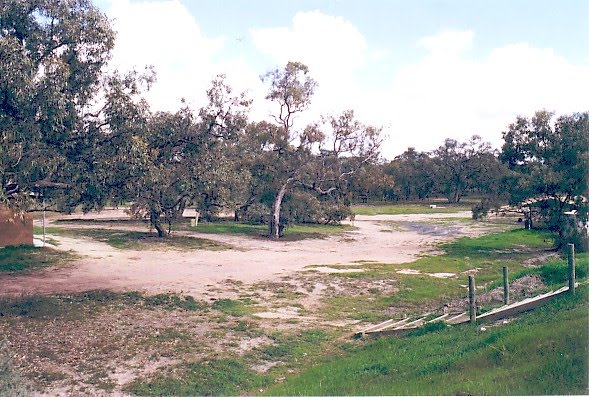
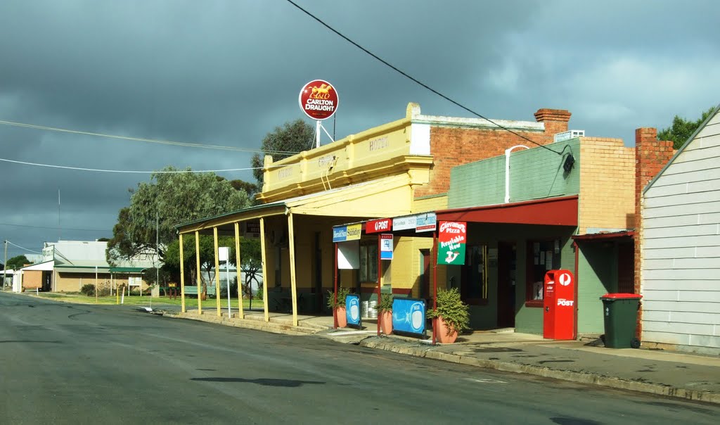
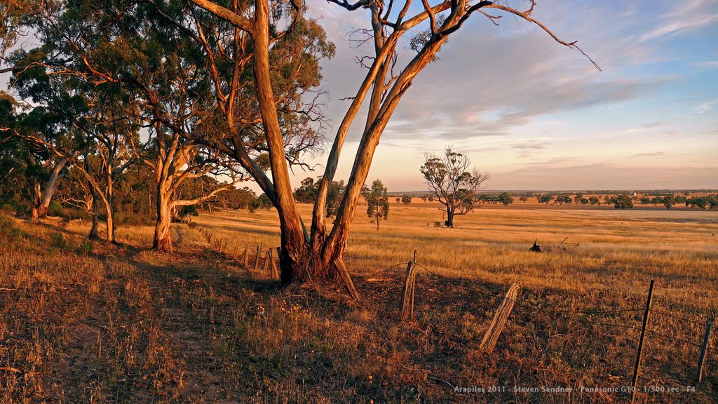
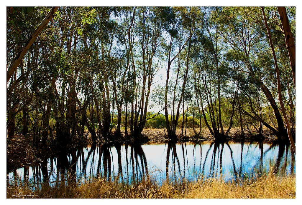
Photos of Illawarra
Illawarra Weather

Predicción: Clear sky
Temperatura: 9.0°
Humedad: 96%
Hora actual: 06:44 AM
Amanece: 06:57 AM
Anochece: 06:00 PM


