Distance between  Jerrabomberra and
  Gobarralong
59.57 mi Straight Distance
96.89 mi Driving Distance
2 hours 5 mins Estimated Driving Time
The straight distance between Jerrabomberra (New South Wales) and Gobarralong (New South Wales) is 59.57 mi, but the driving distance is 96.89 mi.
It takes 2 hours 9 mins to go from Jerrabomberra to Gobarralong.
Driving directions from Jerrabomberra to Gobarralong
Distance in kilometers
Straight distance: 95.85 km. Route distance: 155.90 km
Jerrabomberra, Australia
Latitude: -35.3857 // Longitude: 149.2
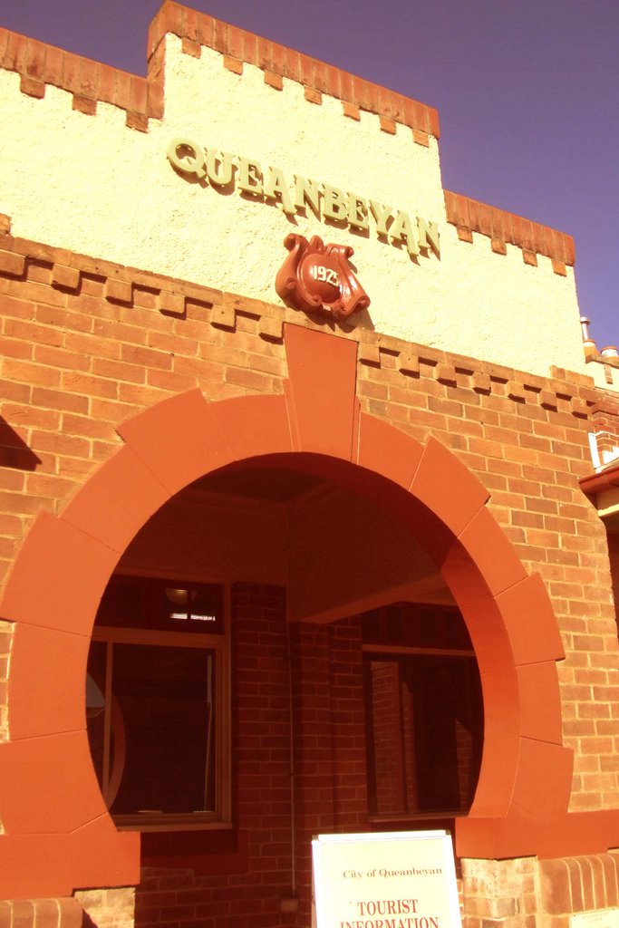
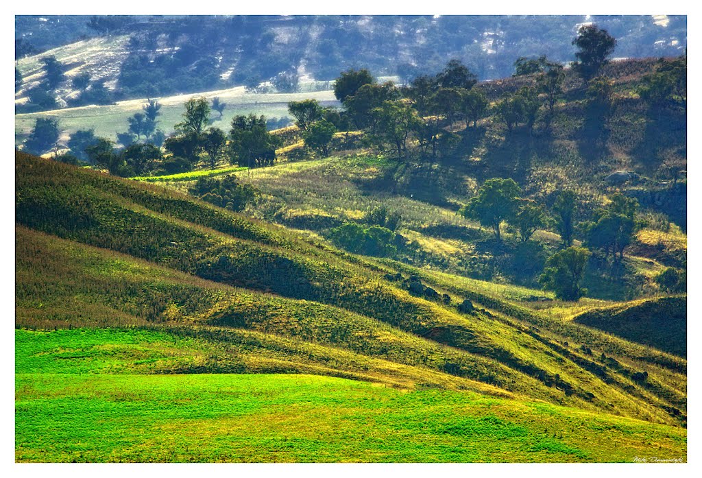
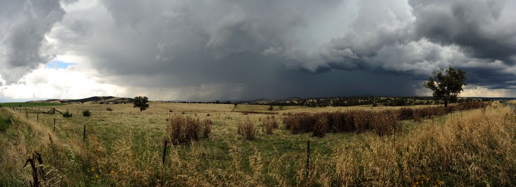
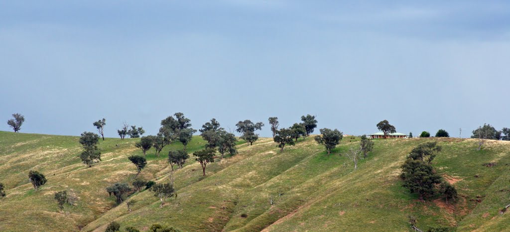
Photos of Jerrabomberra
Jerrabomberra Weather

Predicción: Scattered clouds
Temperatura: 6.5°
Humedad: 91%
Hora actual: 01:22 AM
Amanece: 06:30 AM
Anochece: 05:33 PM
Gobarralong, Australia
Latitude: -34.9245 // Longitude: 148.309
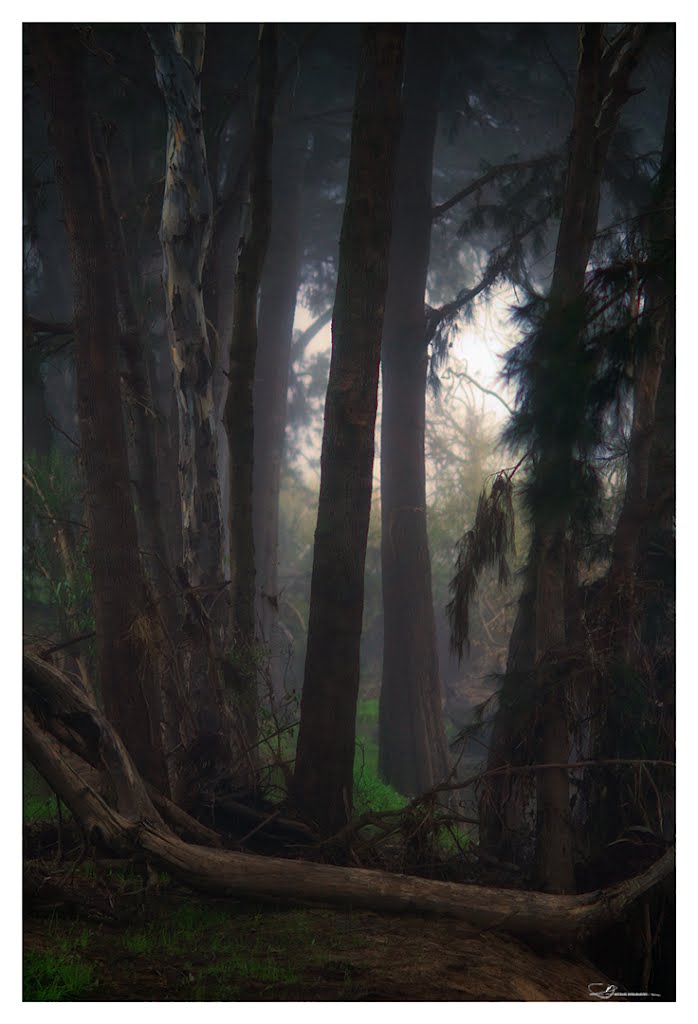
Photos of Gobarralong
Gobarralong Weather

Predicción: Few clouds
Temperatura: 8.0°
Humedad: 73%
Hora actual: 10:00 AM
Amanece: 06:33 AM
Anochece: 05:37 PM


