Distance between  Jerangle and
  Cumborah
433.36 mi Straight Distance
517.40 mi Driving Distance
9 hours 22 mins Estimated Driving Time
The straight distance between Jerangle (New South Wales) and Cumborah (New South Wales) is 433.36 mi, but the driving distance is 517.40 mi.
It takes to go from Jerangle to Cumborah.
Driving directions from Jerangle to Cumborah
Distance in kilometers
Straight distance: 697.27 km. Route distance: 832.50 km
Jerangle, Australia
Latitude: -35.8703 // Longitude: 149.365
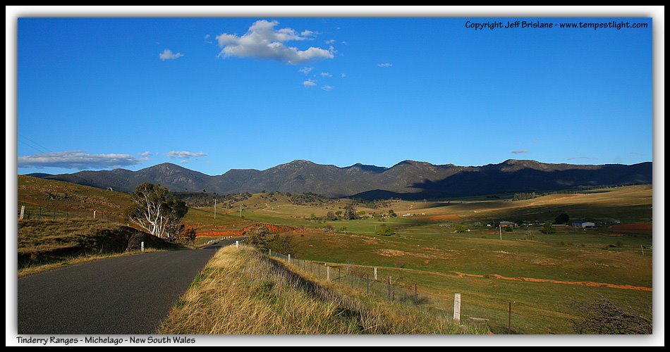
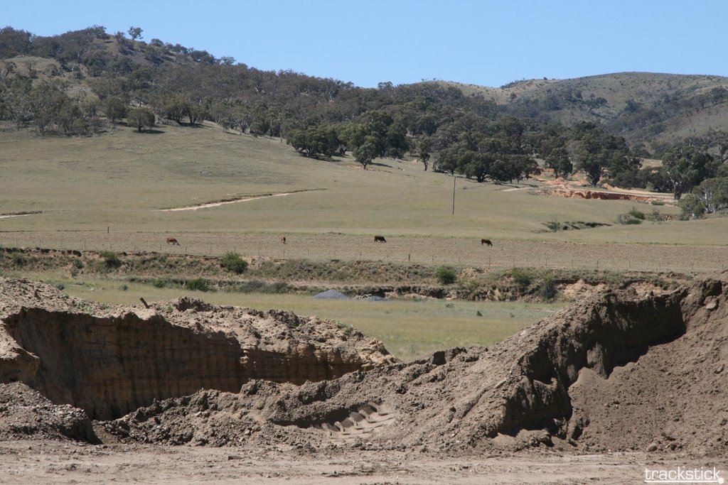
Photos of Jerangle
Jerangle Weather

Predicción: Overcast clouds
Temperatura: 5.8°
Humedad: 90%
Hora actual: 12:00 AM
Amanece: 08:30 PM
Anochece: 07:33 AM
Cumborah, Australia
Latitude: -29.7434 // Longitude: 147.767
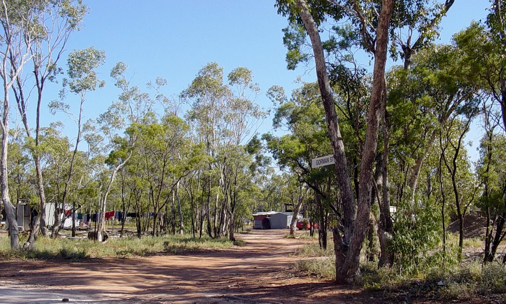
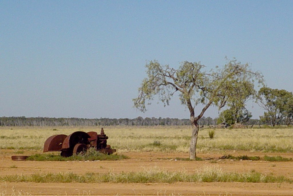
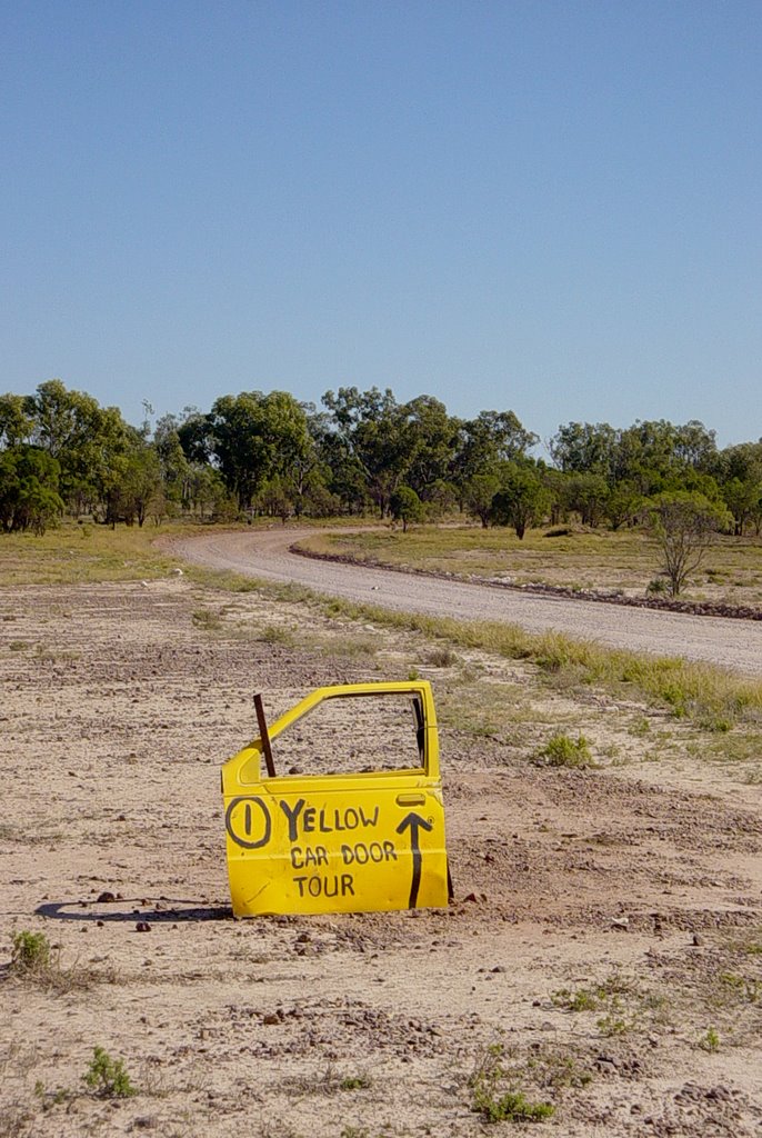
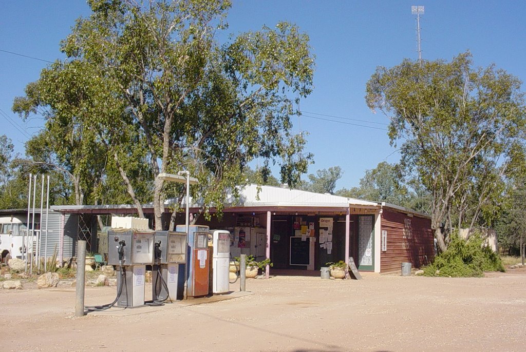
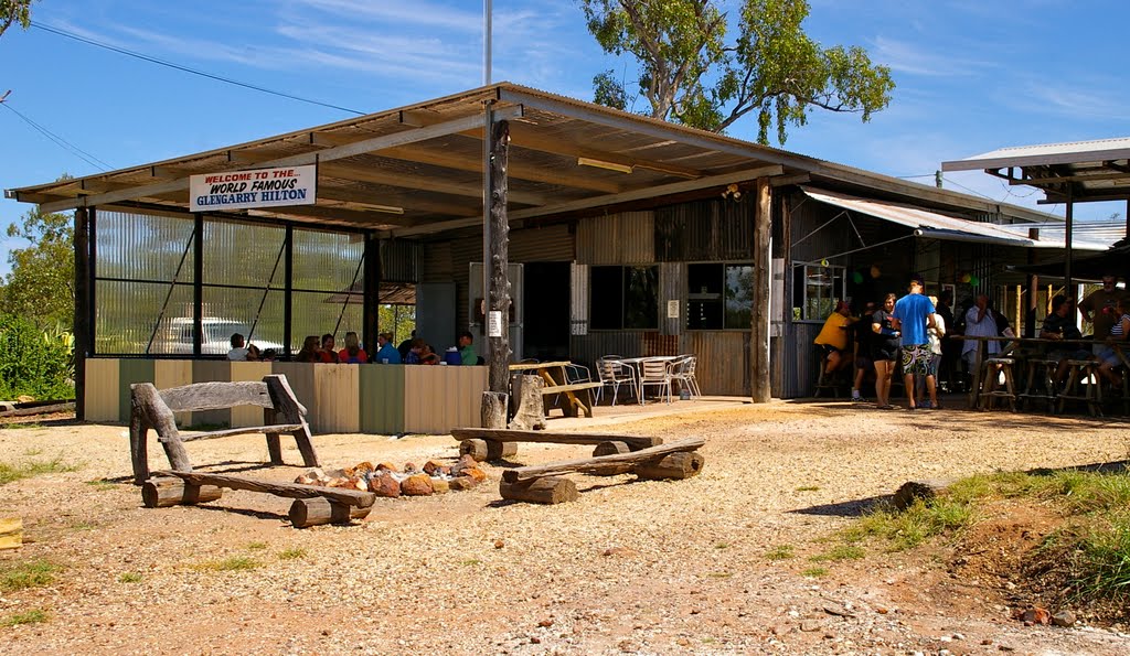
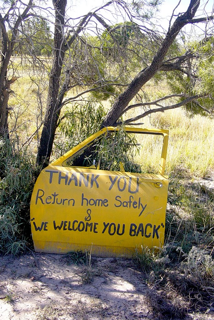
Photos of Cumborah
Cumborah Weather

Predicción: Clear sky
Temperatura: 18.1°
Humedad: 43%
Hora actual: 12:00 AM
Amanece: 08:29 PM
Anochece: 07:46 AM


