Distance between  Jerangle and
  Bunnaloo
267.24 mi Straight Distance
417.24 mi Driving Distance
7 hours 23 mins Estimated Driving Time
The straight distance between Jerangle (New South Wales) and Bunnaloo (New South Wales) is 267.24 mi, but the driving distance is 417.24 mi.
It takes to go from Jerangle to Bunnaloo.
Driving directions from Jerangle to Bunnaloo
Distance in kilometers
Straight distance: 429.99 km. Route distance: 671.33 km
Jerangle, Australia
Latitude: -35.8703 // Longitude: 149.365
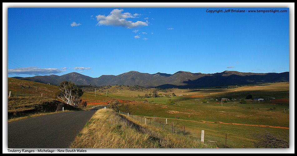
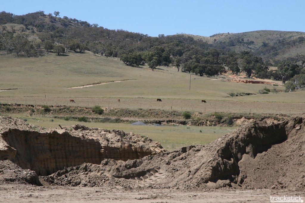
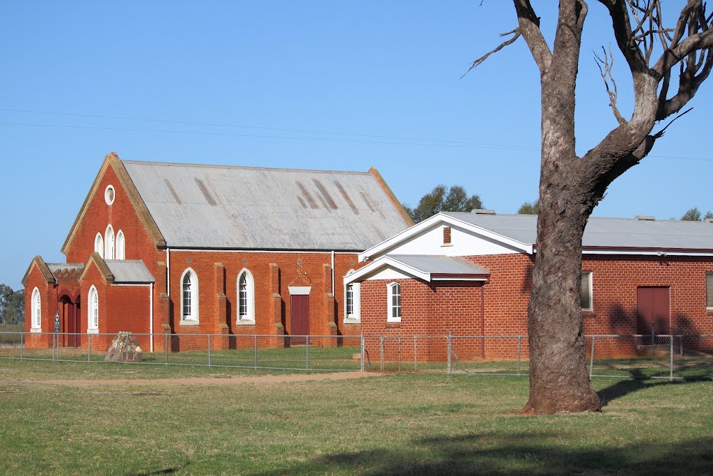
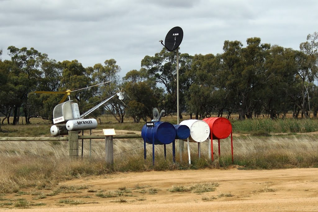
Photos of Jerangle
Jerangle Weather

Predicción: Broken clouds
Temperatura: 11.2°
Humedad: 65%
Hora actual: 12:00 AM
Amanece: 08:28 PM
Anochece: 07:35 AM
Bunnaloo, Australia
Latitude: -35.7884 // Longitude: 144.595
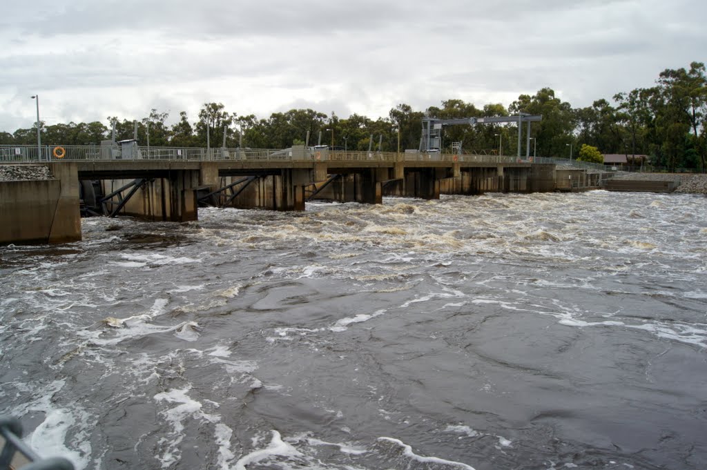
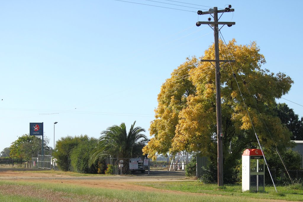
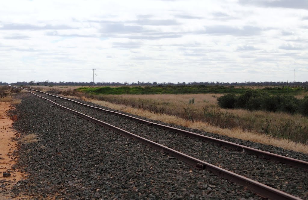
Photos of Bunnaloo
Bunnaloo Weather

Predicción: Broken clouds
Temperatura: 16.7°
Humedad: 47%
Hora actual: 12:00 AM
Amanece: 08:47 PM
Anochece: 07:55 AM


