Distance between  Jarvis Creek and
  Cherrilong
167.87 mi Straight Distance
247.04 mi Driving Distance
4 hours 31 mins Estimated Driving Time
The straight distance between Jarvis Creek (Victoria) and Cherrilong (Victoria) is 167.87 mi, but the driving distance is 247.04 mi.
It takes to go from Jarvis Creek to Cherrilong.
Driving directions from Jarvis Creek to Cherrilong
Distance in kilometers
Straight distance: 270.10 km. Route distance: 397.49 km
Jarvis Creek, Australia
Latitude: -36.165 // Longitude: 147.215
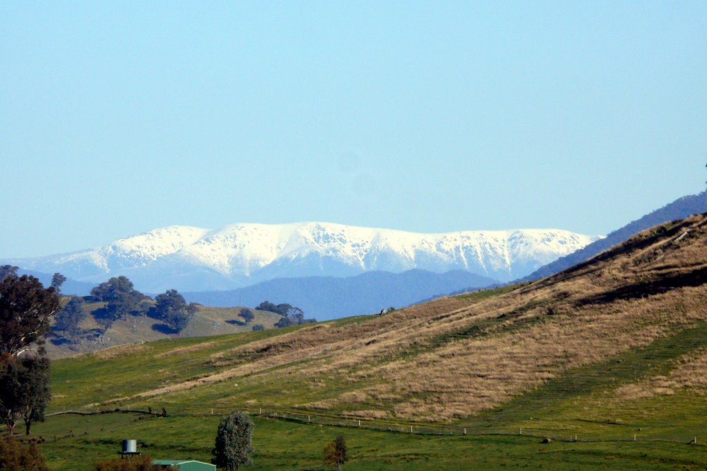
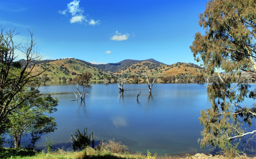
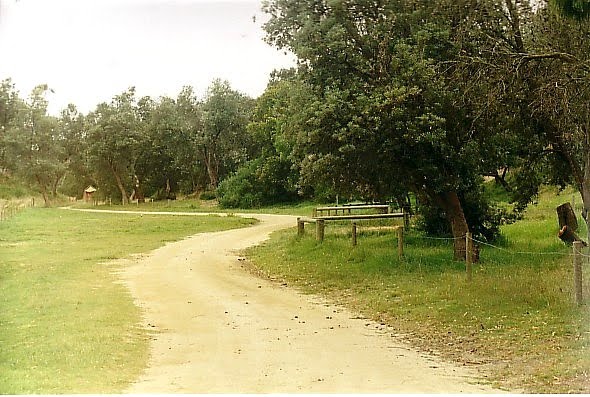
Photos of Jarvis Creek
Jarvis Creek Weather

Predicción: Broken clouds
Temperatura: 8.5°
Humedad: 87%
Hora actual: 03:12 AM
Amanece: 06:37 AM
Anochece: 05:43 PM
Cherrilong, Australia
Latitude: -38.58 // Longitude: 146.88
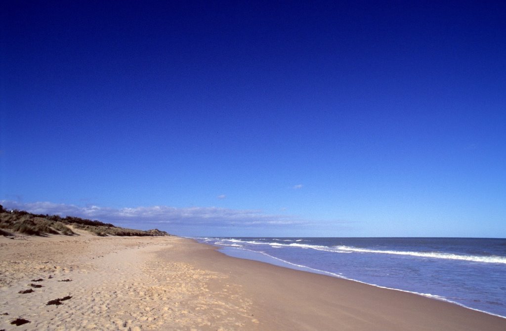
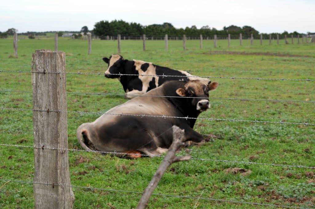
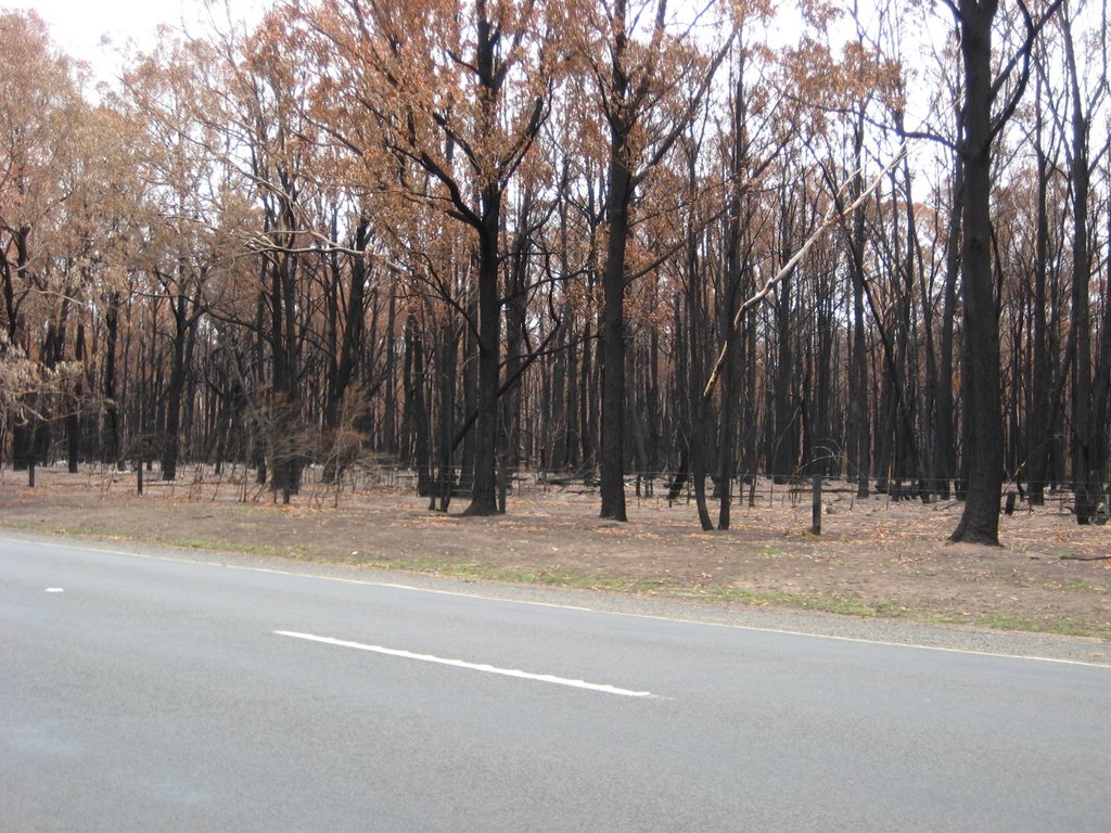
Photos of Cherrilong
Cherrilong Weather

Predicción: Overcast clouds
Temperatura: 12.0°
Humedad: 80%
Hora actual: 10:00 AM
Amanece: 06:42 AM
Anochece: 05:42 PM


