Distance between  Jabuk and
  Alford
167.49 mi Straight Distance
201.03 mi Driving Distance
3 hours 27 mins Estimated Driving Time
The straight distance between Jabuk (South Australia) and Alford (South Australia) is 167.49 mi, but the driving distance is 201.03 mi.
It takes 3 hours 49 mins to go from Jabuk to Alford.
Driving directions from Jabuk to Alford
Distance in kilometers
Straight distance: 269.49 km. Route distance: 323.45 km
Jabuk, Australia
Latitude: -35.3807 // Longitude: 140.071
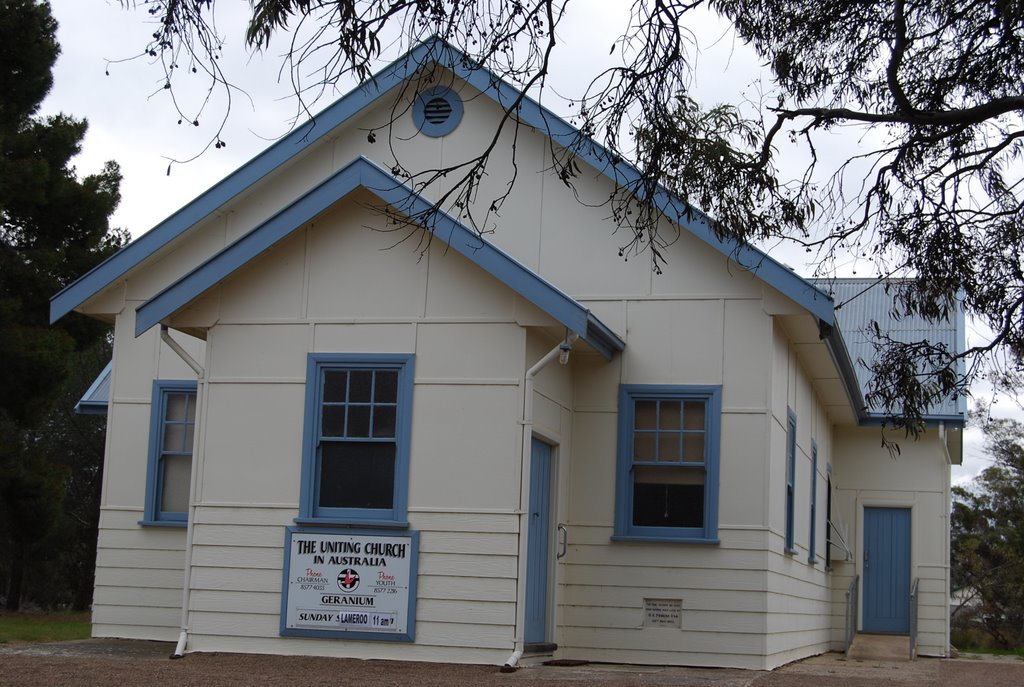
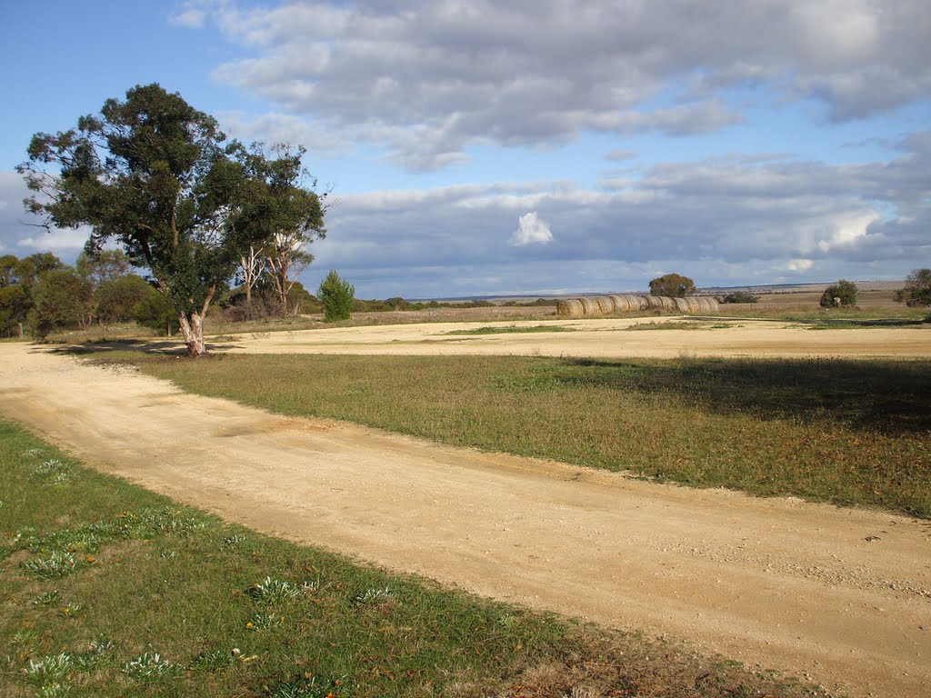
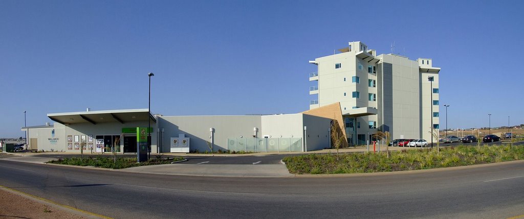
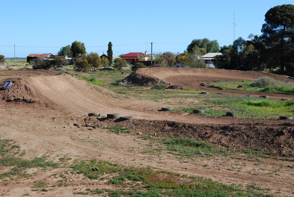
Photos of Jabuk
Jabuk Weather

Predicción: Clear sky
Temperatura: 10.2°
Humedad: 91%
Hora actual: 12:00 AM
Amanece: 09:05 PM
Anochece: 08:13 AM
Alford, Australia
Latitude: -33.8155 // Longitude: 137.822
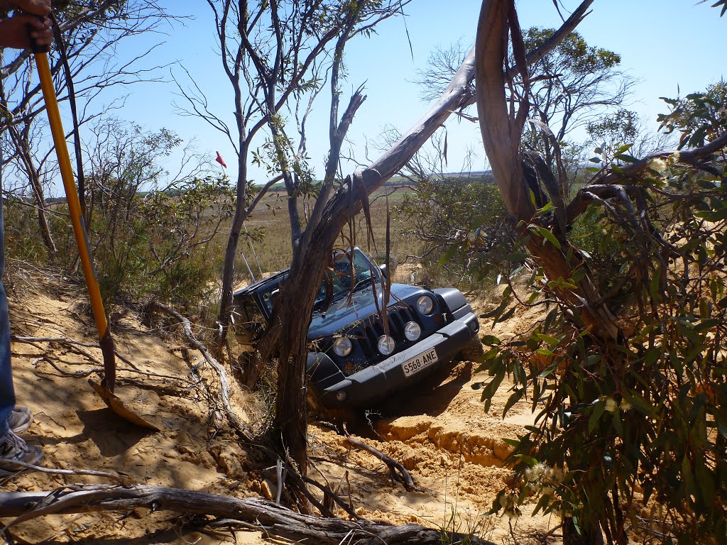
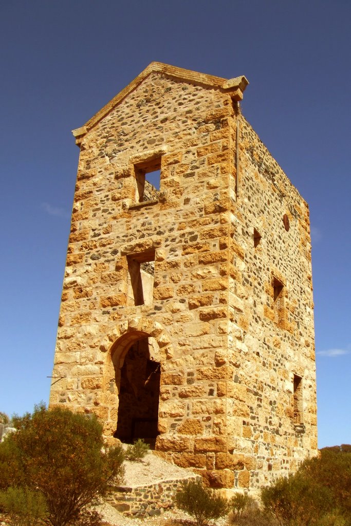
Photos of Alford
Alford Weather

Predicción: Clear sky
Temperatura: 11.3°
Humedad: 91%
Hora actual: 12:00 AM
Amanece: 09:12 PM
Anochece: 08:24 AM


