Distance between  Isisford and
  Pinkerton Plains
783.06 mi Straight Distance
1,153.67 mi Driving Distance
18 hours 57 mins Estimated Driving Time
The straight distance between Isisford (Queensland) and Pinkerton Plains (South Australia) is 783.06 mi, but the driving distance is 1,153.67 mi.
It takes to go from Isisford to Pinkerton Plains.
Driving directions from Isisford to Pinkerton Plains
Distance in kilometers
Straight distance: 1,259.94 km. Route distance: 1,856.26 km
Isisford, Australia
Latitude: -24.2585 // Longitude: 144.441
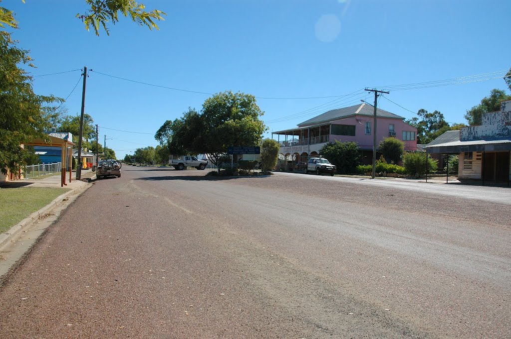
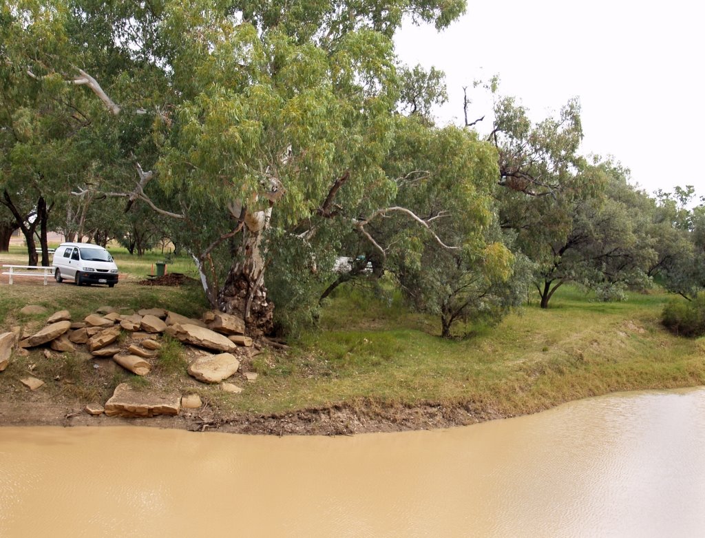
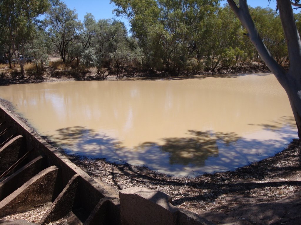
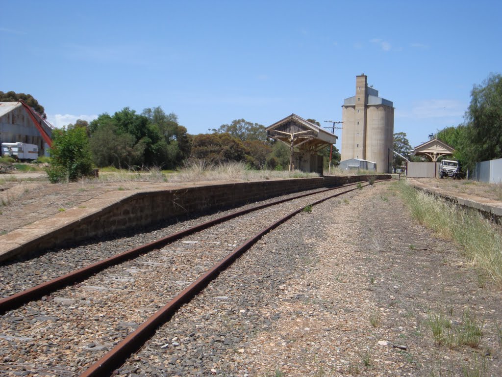
Photos of Isisford
Isisford Weather

Predicción: Clear sky
Temperatura: 26.3°
Humedad: 44%
Hora actual: 10:43 PM
Amanece: 06:36 AM
Anochece: 06:07 PM
Pinkerton Plains, Australia
Latitude: -34.4019 // Longitude: 138.627
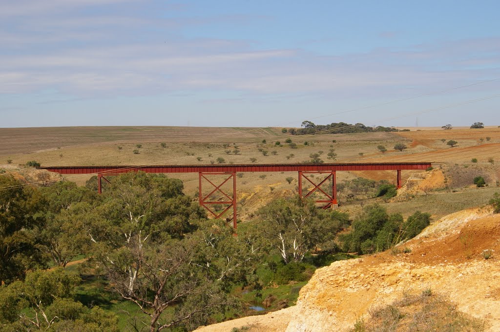
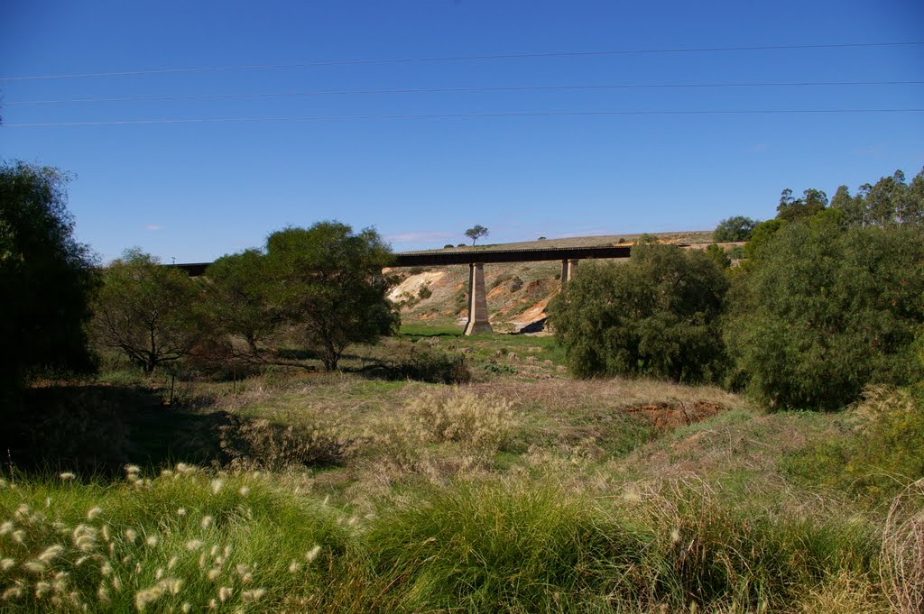
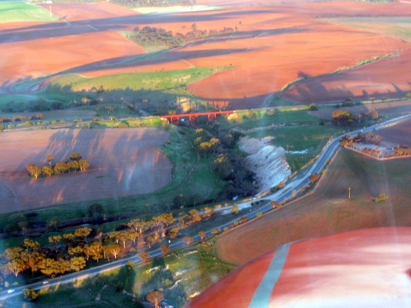
Photos of Pinkerton Plains
Pinkerton Plains Weather

Predicción: Few clouds
Temperatura: 14.5°
Humedad: 67%
Hora actual: 10:13 PM
Amanece: 06:39 AM
Anochece: 05:50 PM


