Distance between  Isisford and
  Charleville
185.85 mi Straight Distance
263.29 mi Driving Distance
4 hours 38 mins Estimated Driving Time
The straight distance between Isisford (Queensland) and Charleville (Queensland) is 185.85 mi, but the driving distance is 263.29 mi.
It takes 5 hours 42 mins to go from Isisford to Charleville.
Driving directions from Isisford to Charleville
Distance in kilometers
Straight distance: 299.03 km. Route distance: 423.63 km
Isisford, Australia
Latitude: -24.2585 // Longitude: 144.441
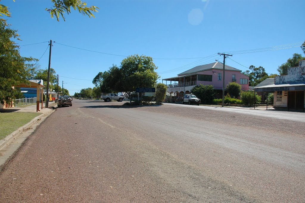
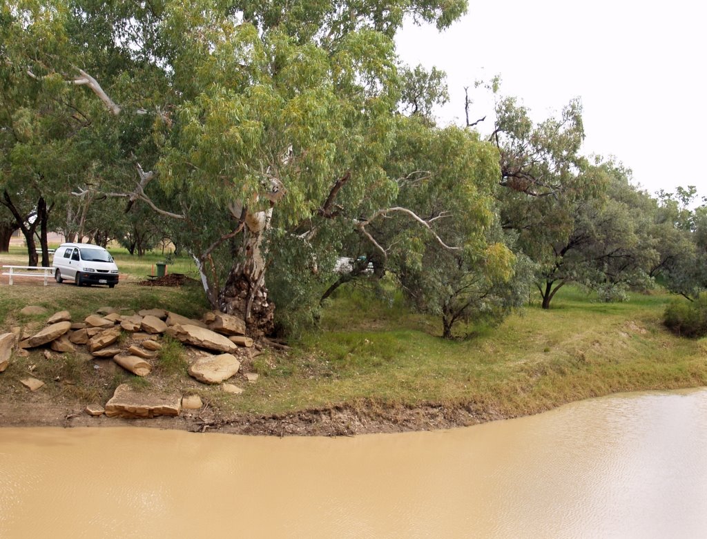
Photos of Isisford
Isisford Weather

Predicción: Broken clouds
Temperatura: 29.4°
Humedad: 41%
Hora actual: 03:57 PM
Amanece: 06:37 AM
Anochece: 06:05 PM
Charleville, Australia
Latitude: -26.4013 // Longitude: 146.24
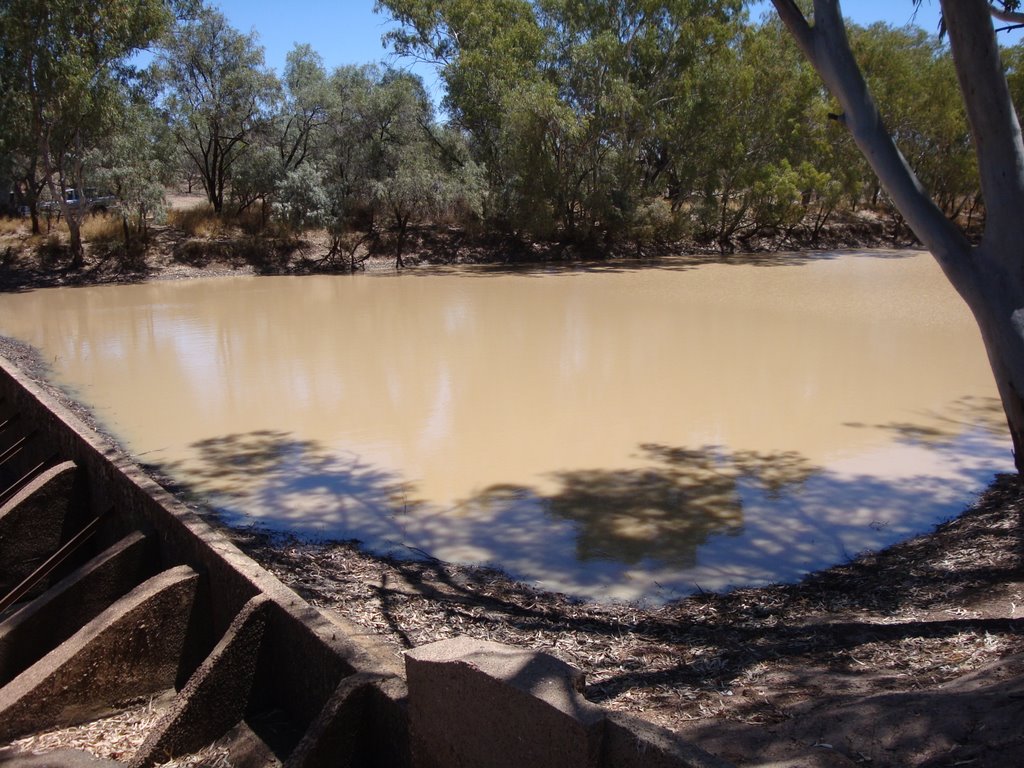
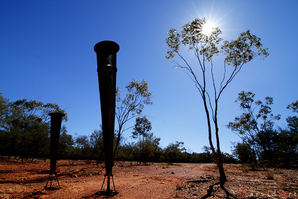
Photos of Charleville
Charleville Weather

Predicción: Broken clouds
Temperatura: 28.4°
Humedad: 36%
Hora actual: 03:57 PM
Amanece: 06:32 AM
Anochece: 05:56 PM


