Distance between  Ironbark and
  Koyuga
50.52 mi Straight Distance
70.81 mi Driving Distance
1 hour 24 mins Estimated Driving Time
The straight distance between Ironbark (Victoria) and Koyuga (Victoria) is 50.52 mi, but the driving distance is 70.81 mi.
It takes to go from Ironbark to Koyuga.
Driving directions from Ironbark to Koyuga
Distance in kilometers
Straight distance: 81.28 km. Route distance: 113.93 km
Ironbark, Australia
Latitude: -36.7558 // Longitude: 144.265
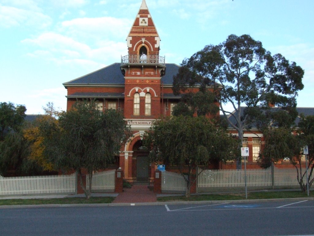
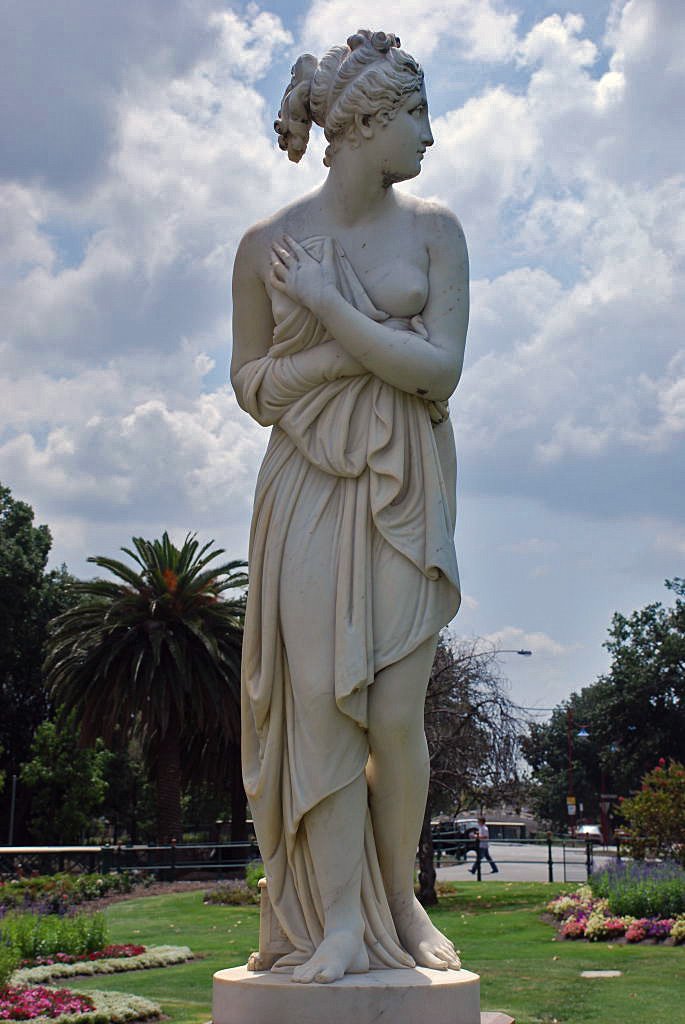
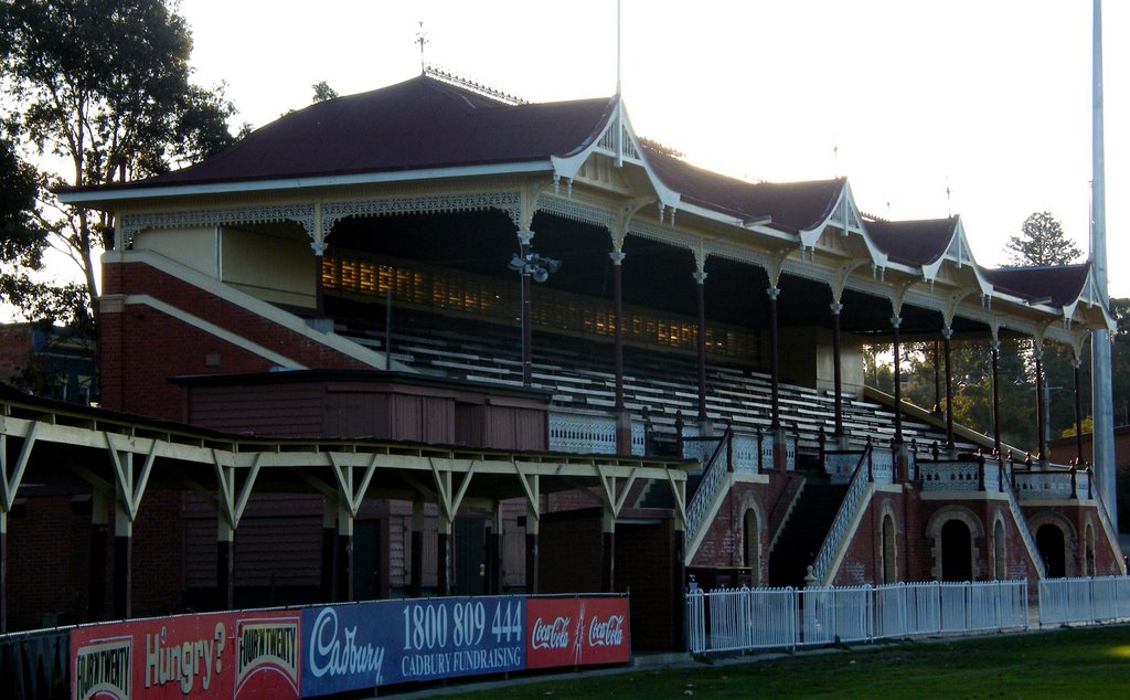
Photos of Ironbark
Ironbark Weather

Predicción: Overcast clouds
Temperatura: 10.4°
Humedad: 89%
Hora actual: 03:06 AM
Amanece: 06:50 AM
Anochece: 05:54 PM
Koyuga, Australia
Latitude: -36.2224 // Longitude: 144.887
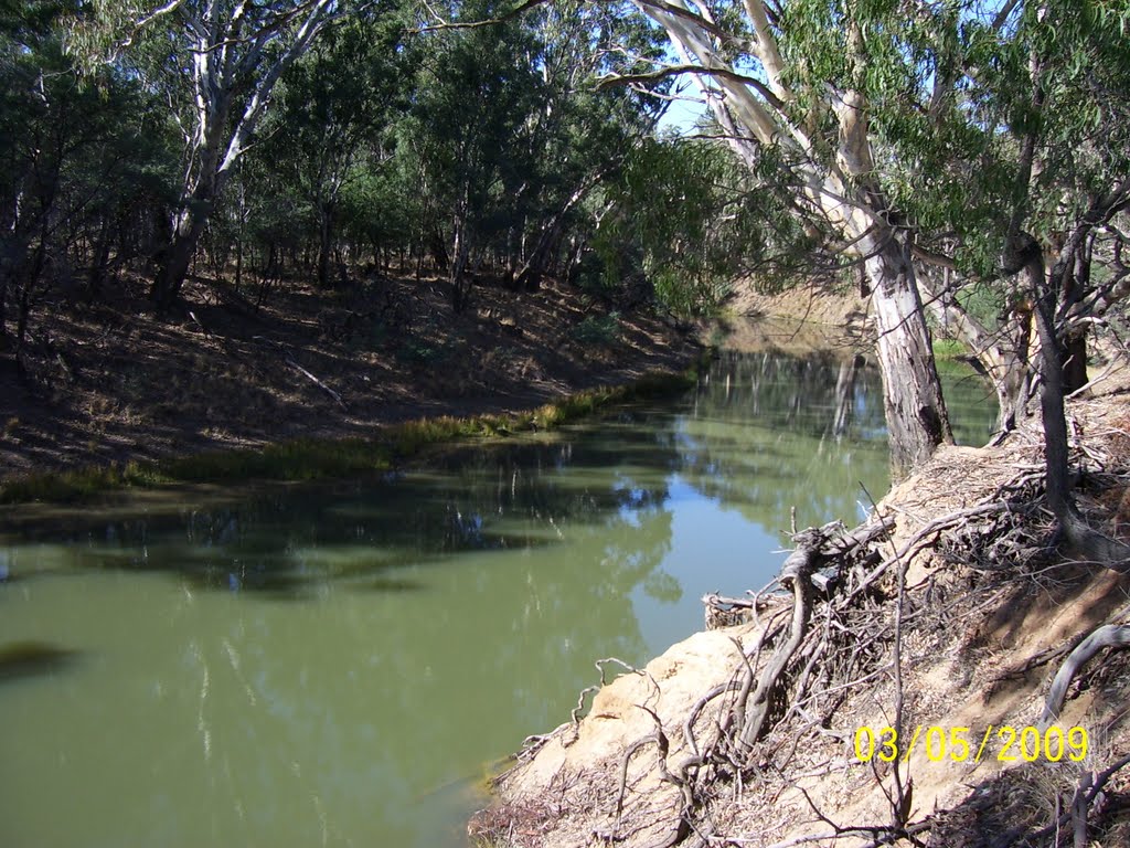
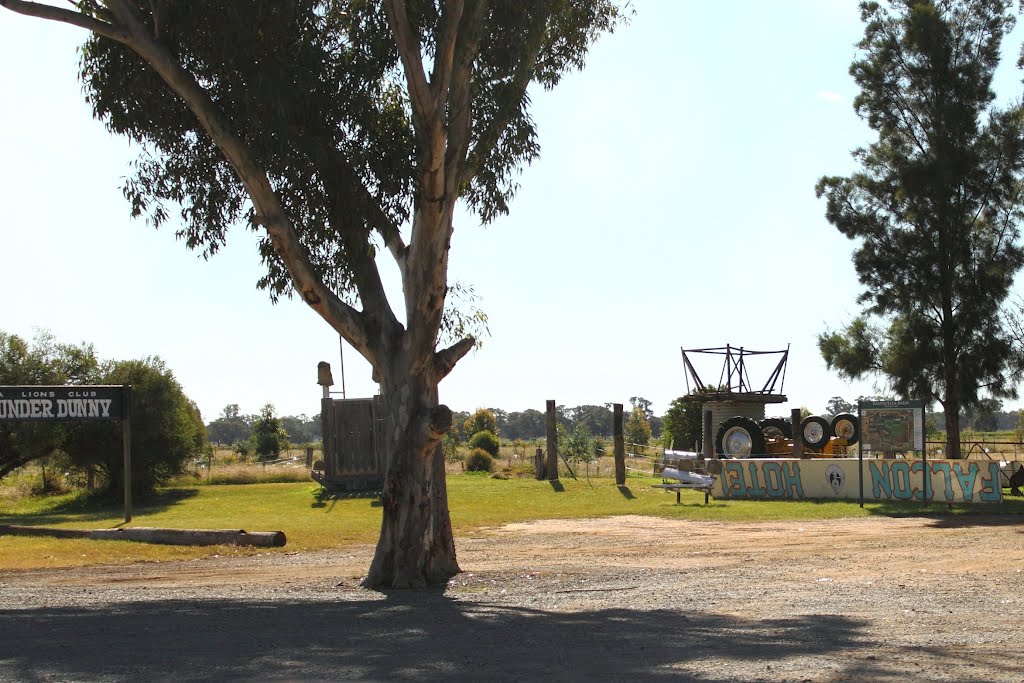
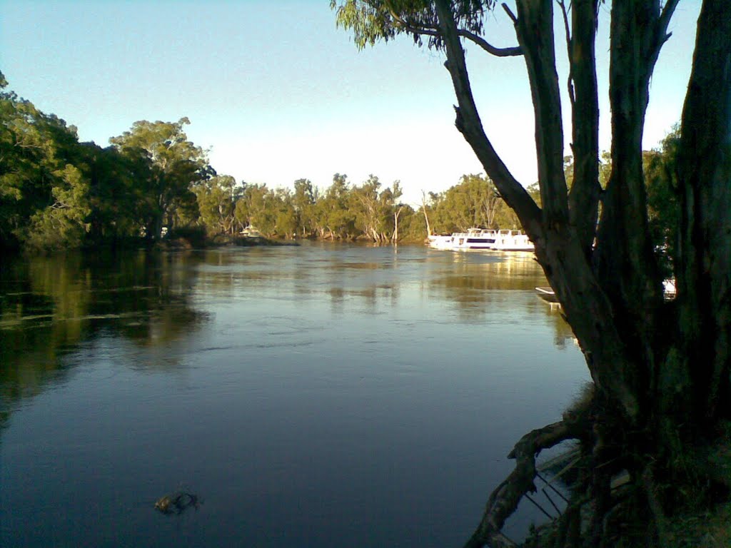
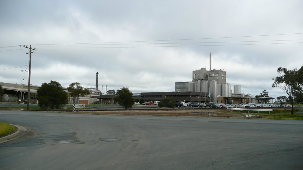
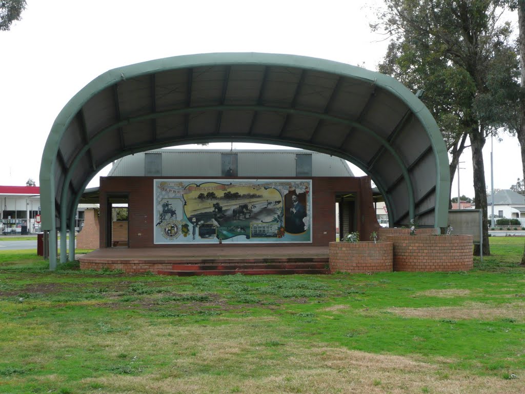
Photos of Koyuga
Koyuga Weather

Predicción: Overcast clouds
Temperatura: 12.2°
Humedad: 85%
Hora actual: 03:06 AM
Amanece: 06:47 AM
Anochece: 05:52 PM


