Distance between  Iron Knob and
  Hammond
69.63 mi Straight Distance
85.38 mi Driving Distance
1 hour 26 mins Estimated Driving Time
The straight distance between Iron Knob (South Australia) and Hammond (South Australia) is 69.63 mi, but the driving distance is 85.38 mi.
It takes 1 hour 41 mins to go from Iron Knob to Hammond.
Driving directions from Iron Knob to Hammond
Distance in kilometers
Straight distance: 112.04 km. Route distance: 137.38 km
Iron Knob, Australia
Latitude: -32.7308 // Longitude: 137.15
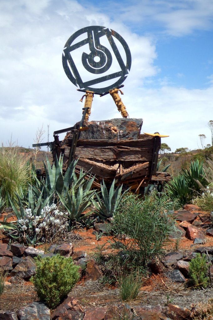
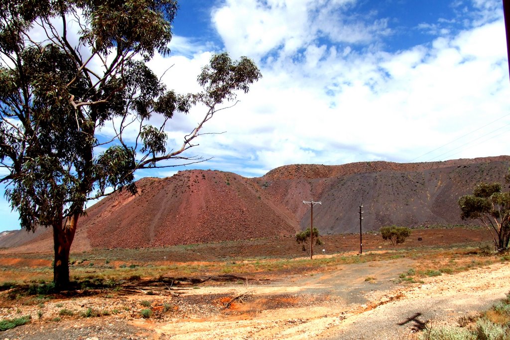
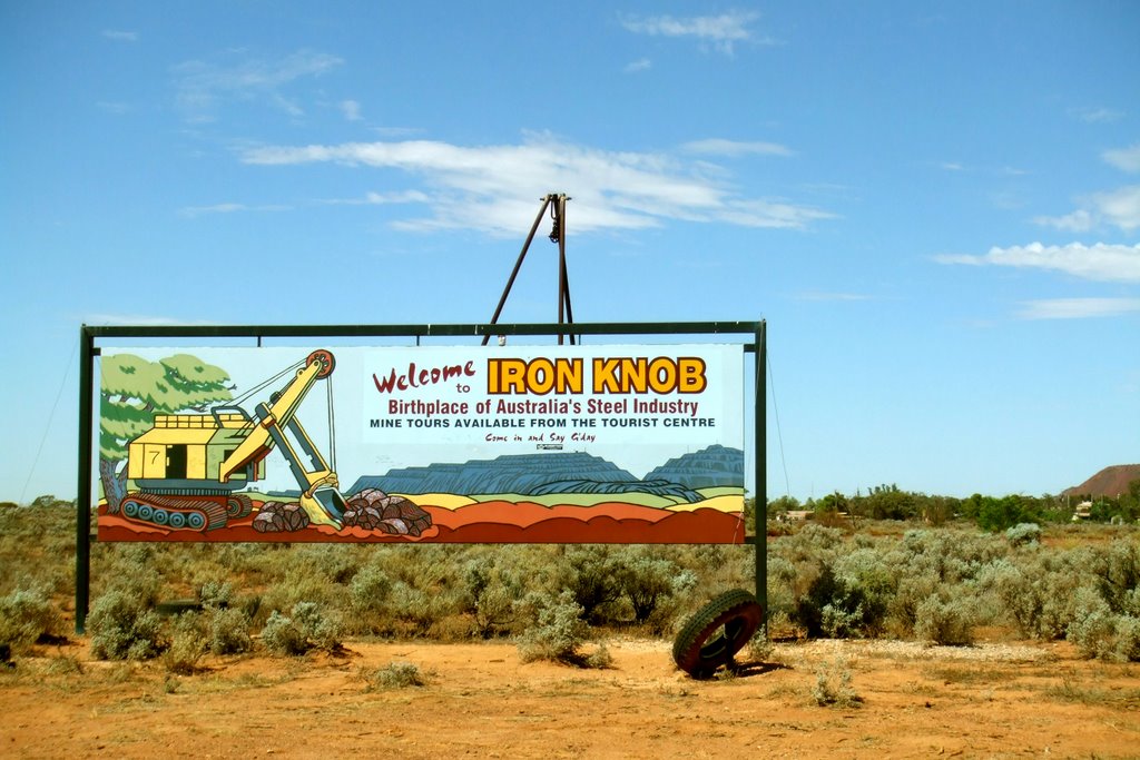
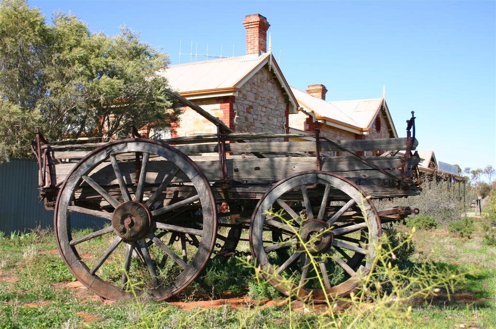
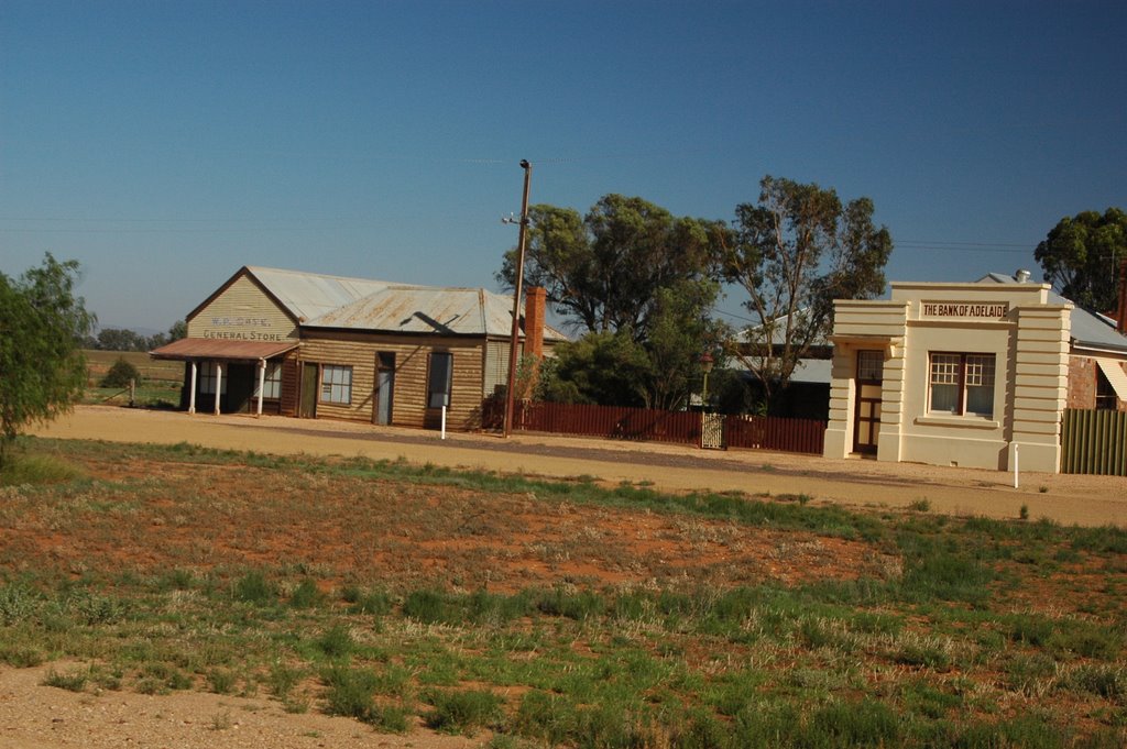
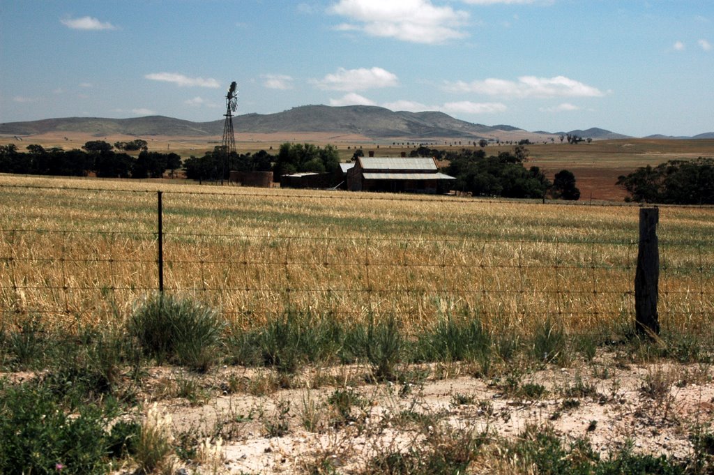
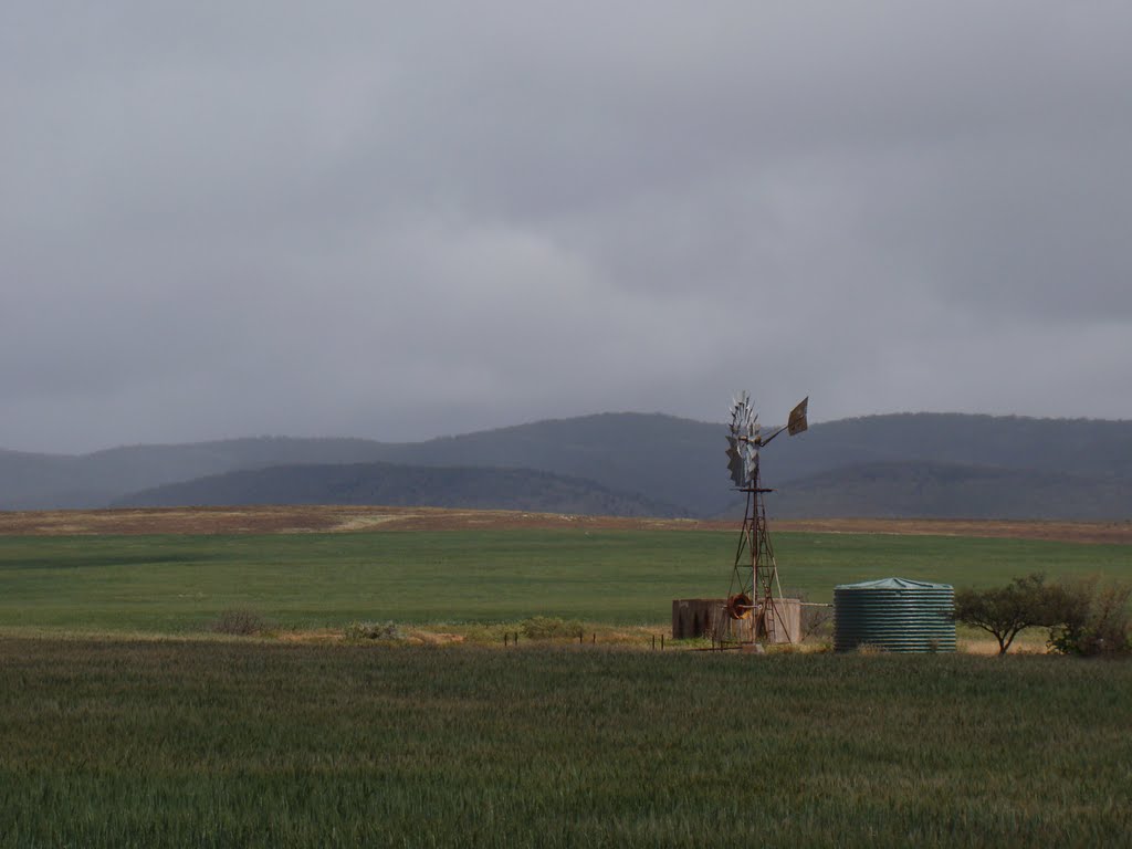
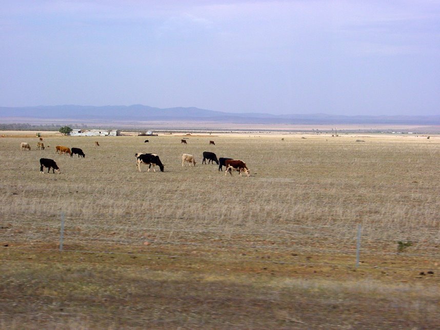
Photos of Iron Knob
Iron Knob Weather

Predicción: Clear sky
Temperatura: 16.1°
Humedad: 62%
Hora actual: 12:00 AM
Amanece: 09:15 PM
Anochece: 08:25 AM
Hammond, Australia
Latitude: -32.5194 // Longitude: 138.32
Photos of Hammond
Hammond Weather

Predicción: Clear sky
Temperatura: 14.4°
Humedad: 67%
Hora actual: 12:00 AM
Amanece: 09:10 PM
Anochece: 08:21 AM


