Distance between  Irishtown and
  Tandarra
49.69 mi Straight Distance
55.19 mi Driving Distance
1 hour 6 mins Estimated Driving Time
The straight distance between Irishtown (Victoria) and Tandarra (Victoria) is 49.69 mi, but the driving distance is 55.19 mi.
It takes 1 hour 12 mins to go from Irishtown to Tandarra.
Driving directions from Irishtown to Tandarra
Distance in kilometers
Straight distance: 79.95 km. Route distance: 88.80 km
Irishtown, Australia
Latitude: -37.1481 // Longitude: 144.237
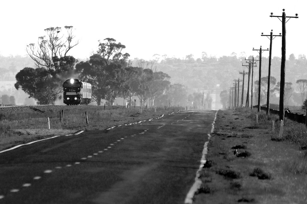
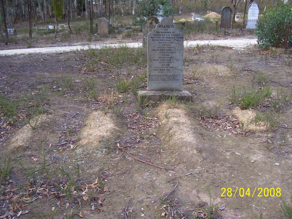
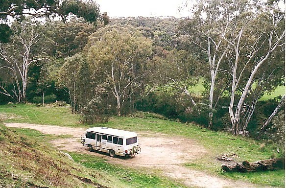
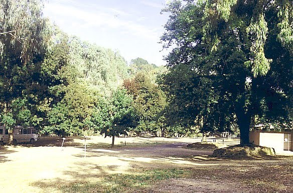
Photos of Irishtown
Irishtown Weather

Predicción: Overcast clouds
Temperatura: 11.4°
Humedad: 84%
Hora actual: 09:30 PM
Amanece: 06:51 AM
Anochece: 05:52 PM
Tandarra, Australia
Latitude: -36.429 // Longitude: 144.23
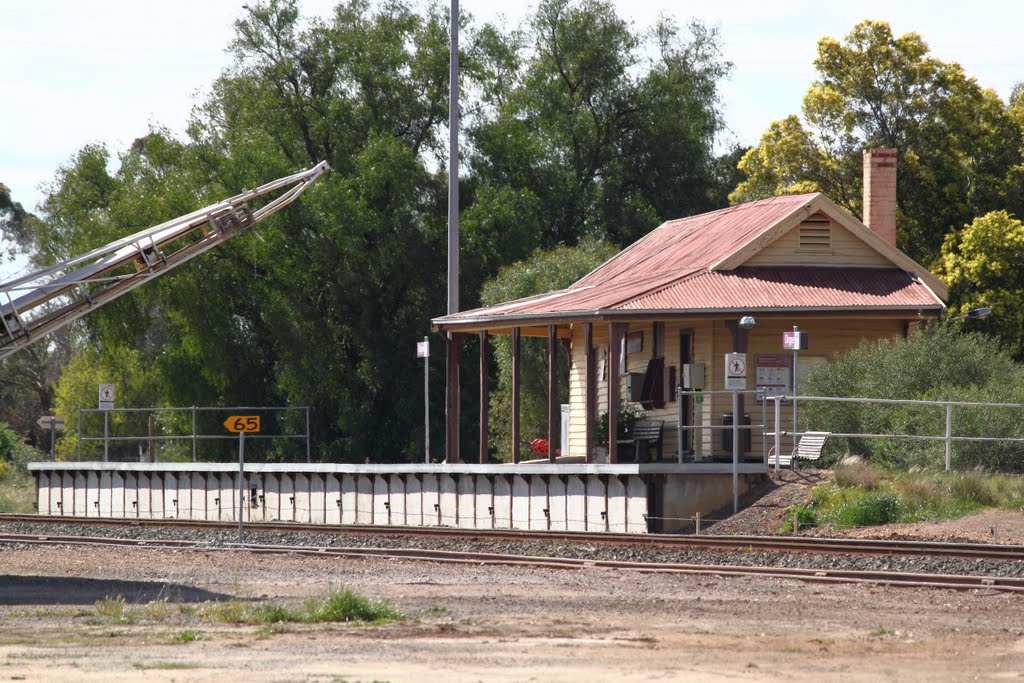
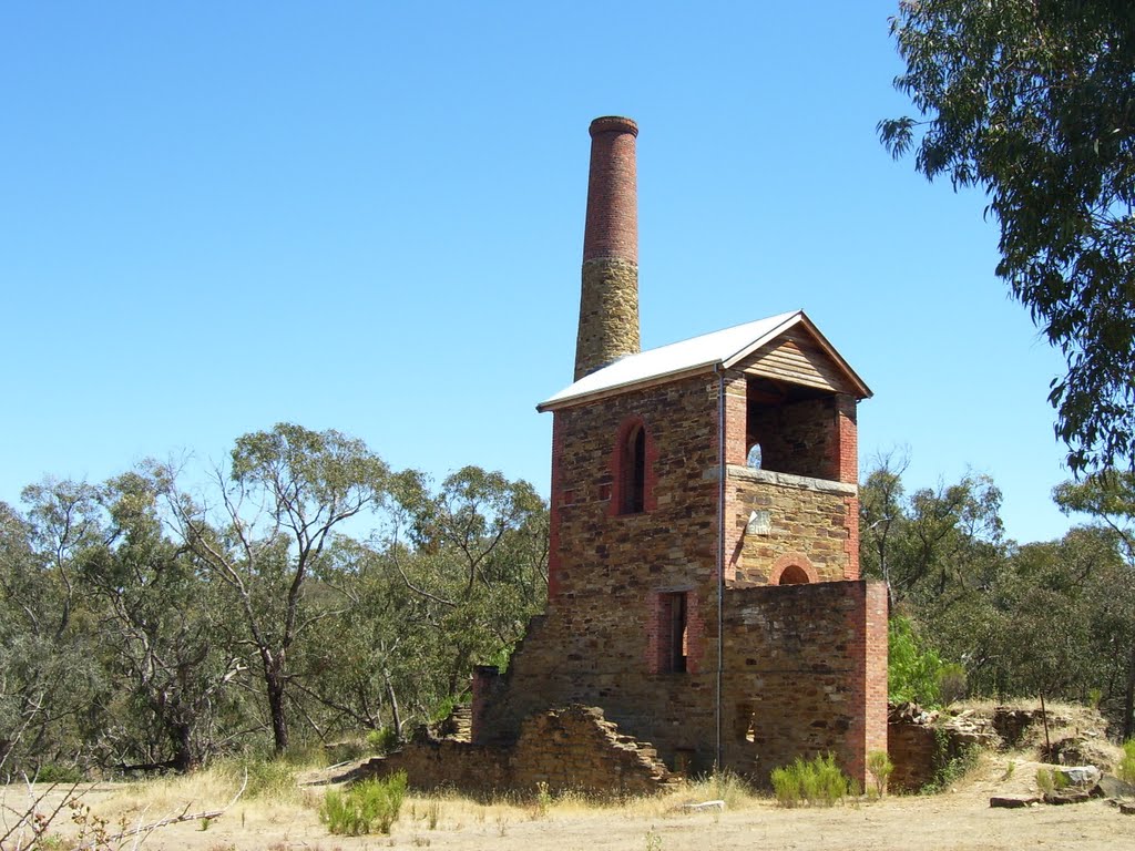
Photos of Tandarra
Tandarra Weather

Predicción: Overcast clouds
Temperatura: 14.6°
Humedad: 65%
Hora actual: 10:00 AM
Amanece: 06:51 AM
Anochece: 05:53 PM




![Panorama outside Vaughan vineyard [2011] Panorama outside Vaughan vineyard [2011]](/photos/57369484.jpg)
