Distance between  Inverloch and
  Barwon Heads
71.31 mi Straight Distance
150.09 mi Driving Distance
2 hours 47 mins Estimated Driving Time
The straight distance between Inverloch (Victoria) and Barwon Heads (Victoria) is 71.31 mi, but the driving distance is 150.09 mi.
It takes 2 hours 59 mins to go from Inverloch to Barwon Heads.
Driving directions from Inverloch to Barwon Heads
Distance in kilometers
Straight distance: 114.74 km. Route distance: 241.50 km
Inverloch, Australia
Latitude: -38.6335 // Longitude: 145.73
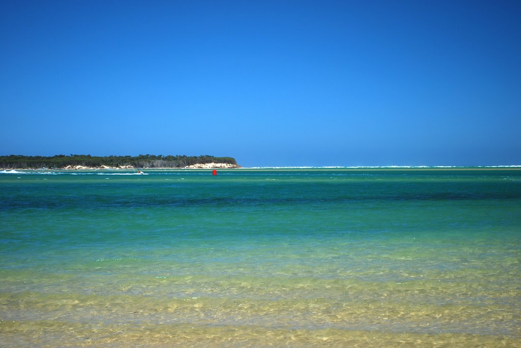
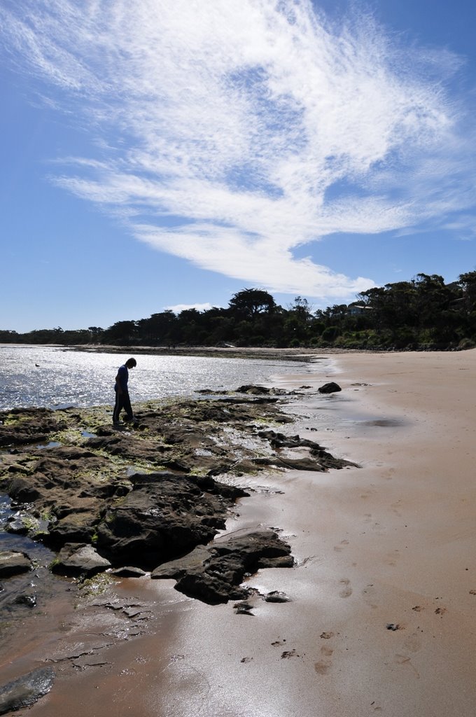
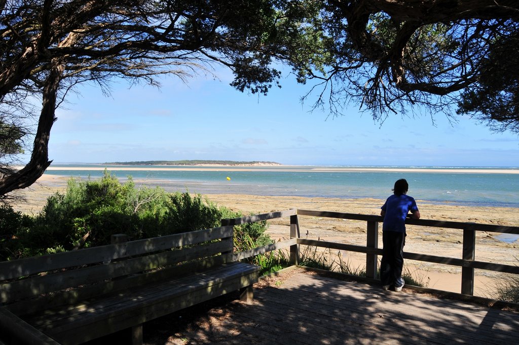
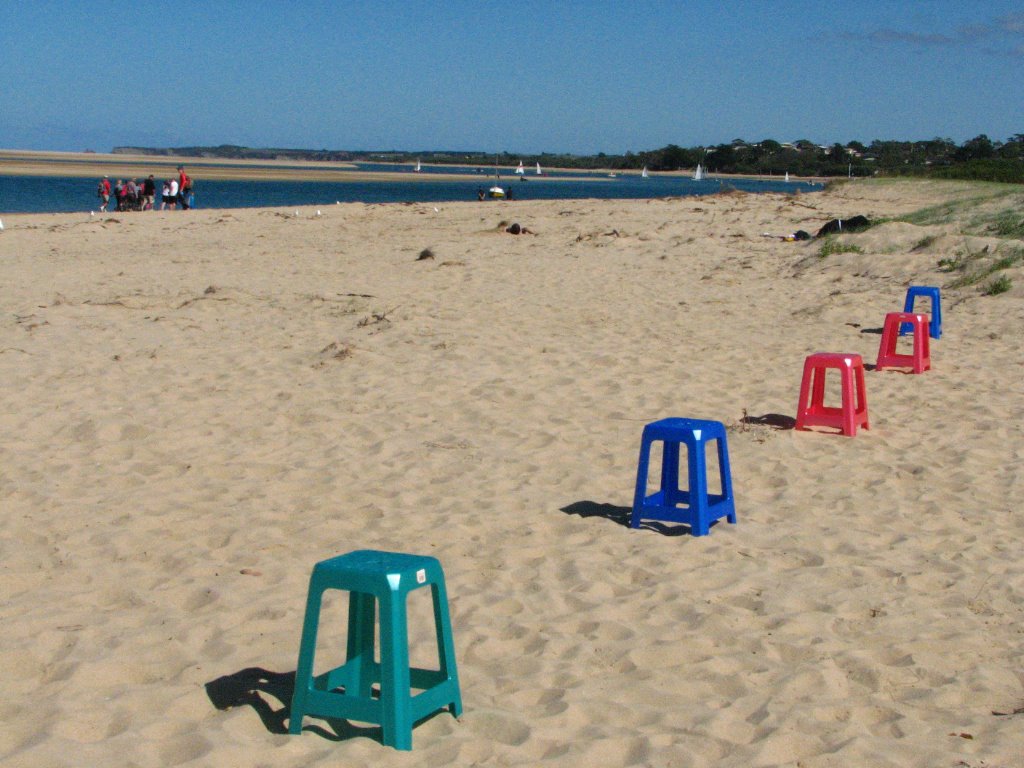
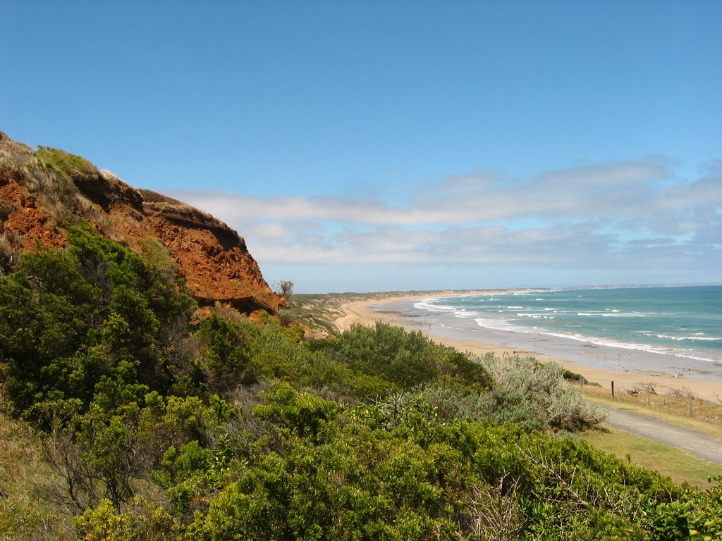
Photos of Inverloch
Inverloch Weather

Predicción: Light rain
Temperatura: 12.8°
Humedad: 90%
Hora actual: 07:25 PM
Amanece: 06:47 AM
Anochece: 05:45 PM
Barwon Heads, Australia
Latitude: -38.2814 // Longitude: 144.491
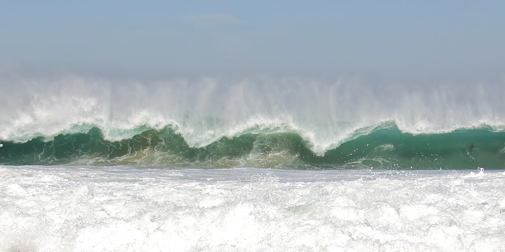
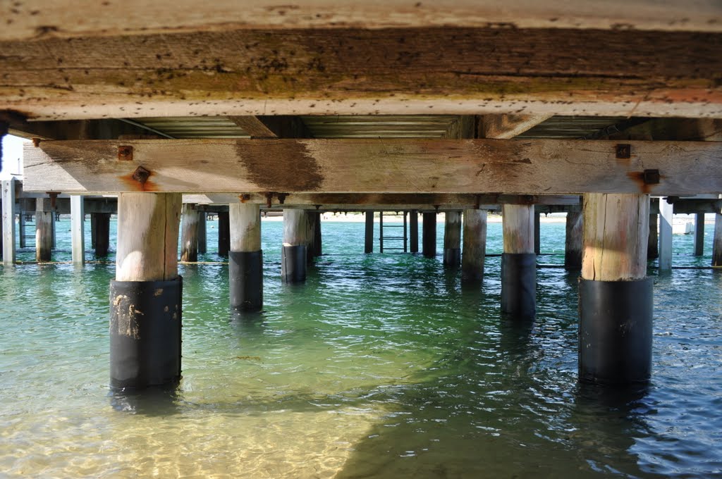
Photos of Barwon Heads
Barwon Heads Weather

Predicción: Overcast clouds
Temperatura: 13.6°
Humedad: 83%
Hora actual: 07:25 PM
Amanece: 06:52 AM
Anochece: 05:50 PM


