Distance between  Injune and
  Camooweal
780.45 mi Straight Distance
972.15 mi Driving Distance
16 hours 1 mins Estimated Driving Time
The straight distance between Injune (Queensland) and Camooweal (Queensland) is 780.45 mi, but the driving distance is 972.15 mi.
It takes to go from Injune to Camooweal.
Driving directions from Injune to Camooweal
Distance in kilometers
Straight distance: 1,255.74 km. Route distance: 1,564.20 km
Injune, Australia
Latitude: -25.8429 // Longitude: 148.568
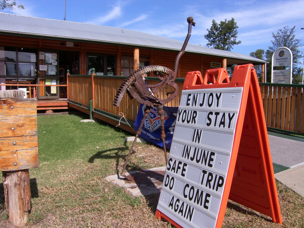
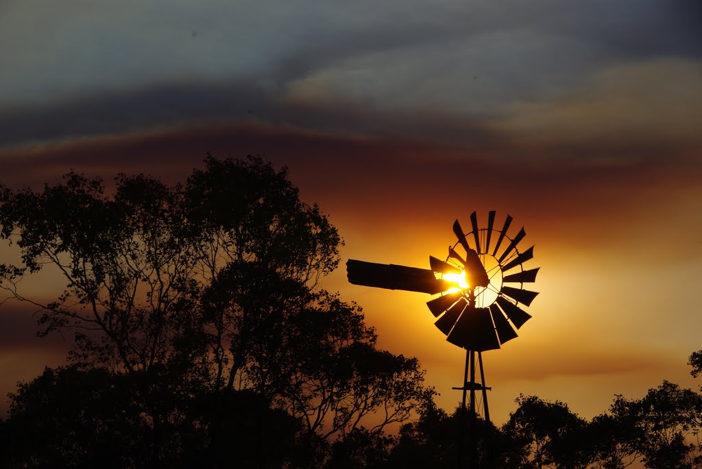
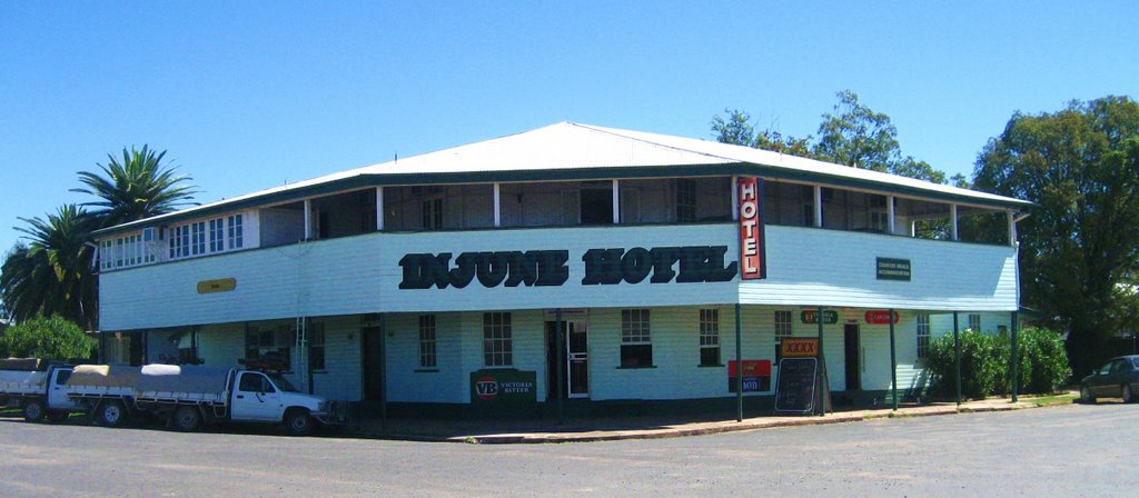
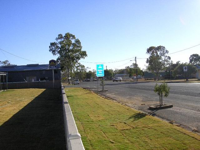
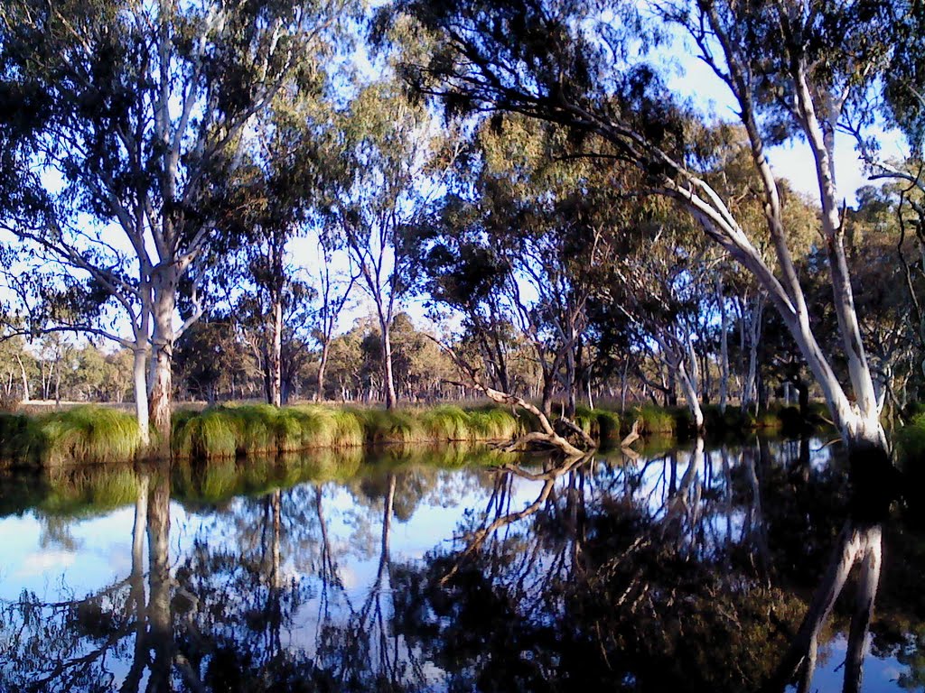
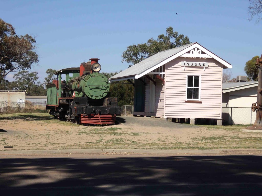
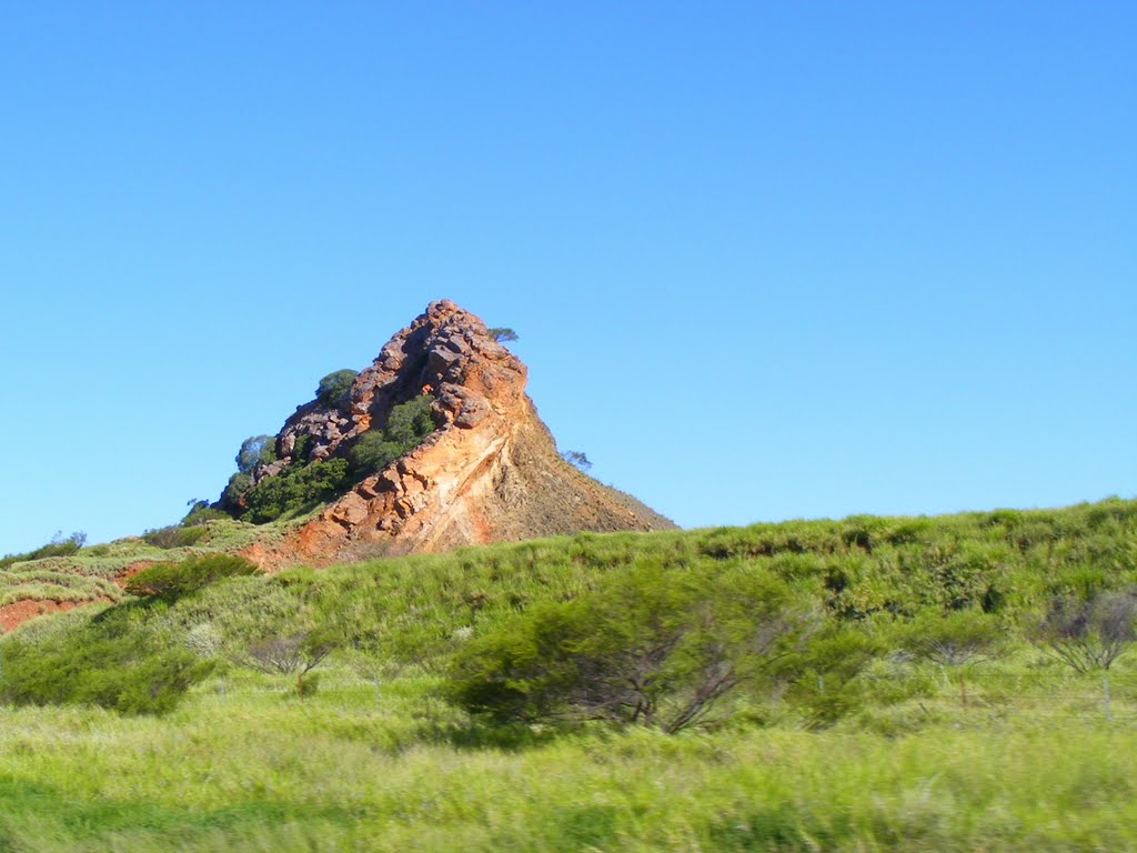
Photos of Injune
Injune Weather

Predicción: Clear sky
Temperatura: 16.7°
Humedad: 86%
Hora actual: 07:29 AM
Amanece: 06:23 AM
Anochece: 05:46 PM
Camooweal, Australia
Latitude: -19.9214 // Longitude: 138.118
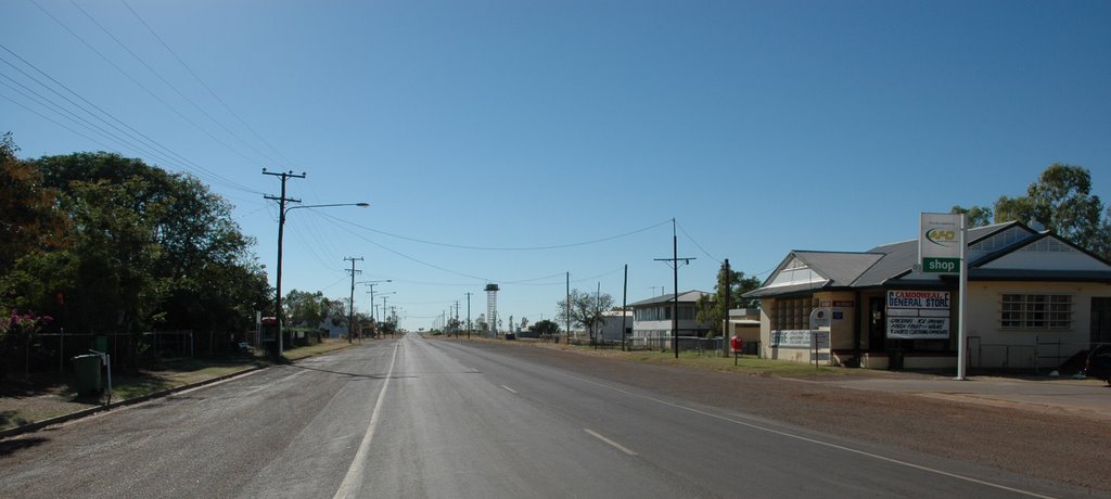
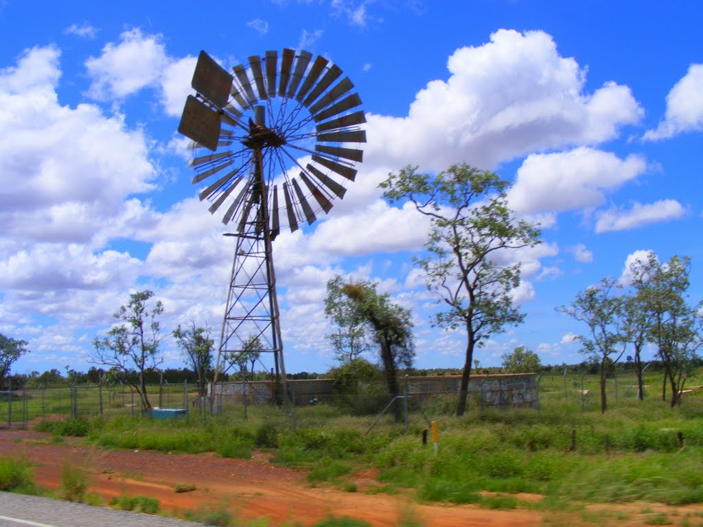
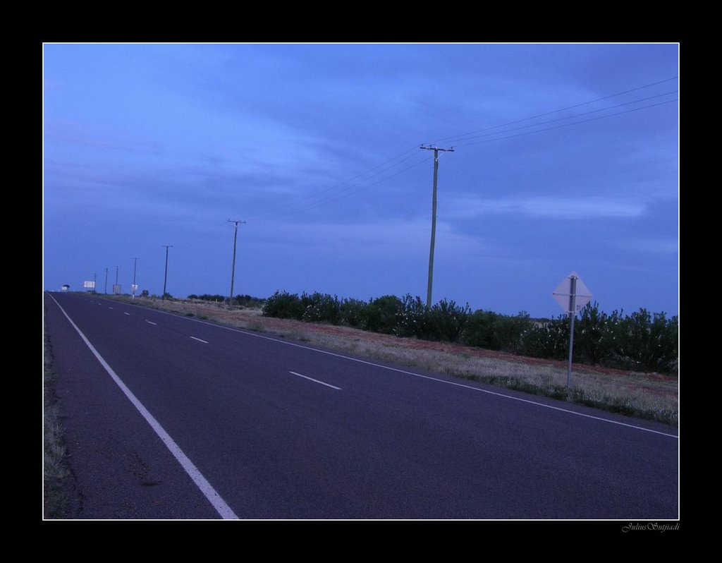
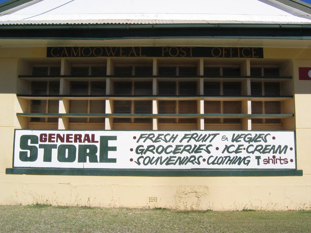
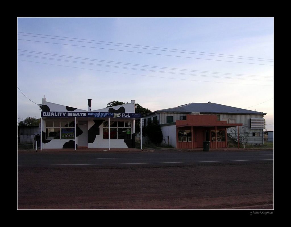
Photos of Camooweal
Camooweal Weather

Predicción: Overcast clouds
Temperatura: 23.5°
Humedad: 31%
Hora actual: 07:29 AM
Amanece: 06:59 AM
Anochece: 06:33 PM


