Distance between  Inglewood and
  Charters Towers
651.24 mi Straight Distance
828.83 mi Driving Distance
14 hours 1 mins Estimated Driving Time
The straight distance between Inglewood (Queensland) and Charters Towers (Queensland) is 651.24 mi, but the driving distance is 828.83 mi.
It takes to go from Inglewood to Charters Towers.
Driving directions from Inglewood to Charters Towers
Distance in kilometers
Straight distance: 1,047.84 km. Route distance: 1,333.59 km
Inglewood, Australia
Latitude: -28.416 // Longitude: 151.08
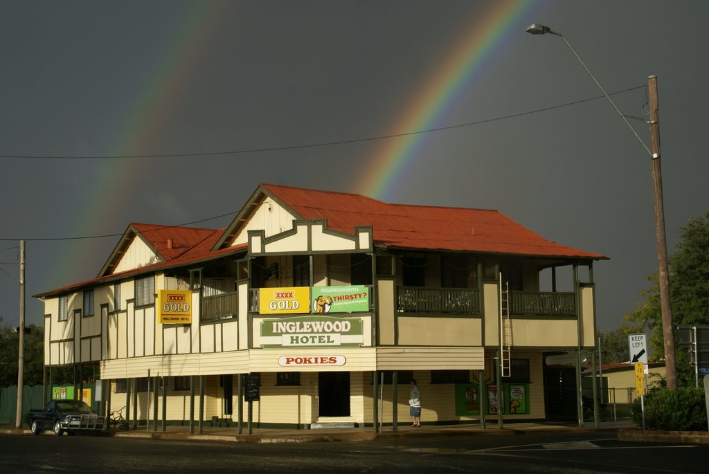
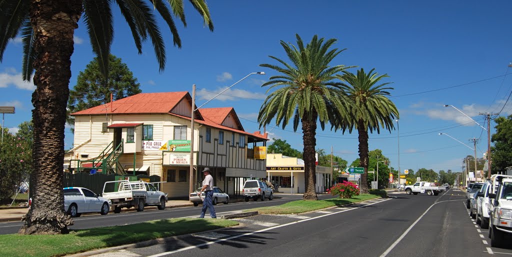
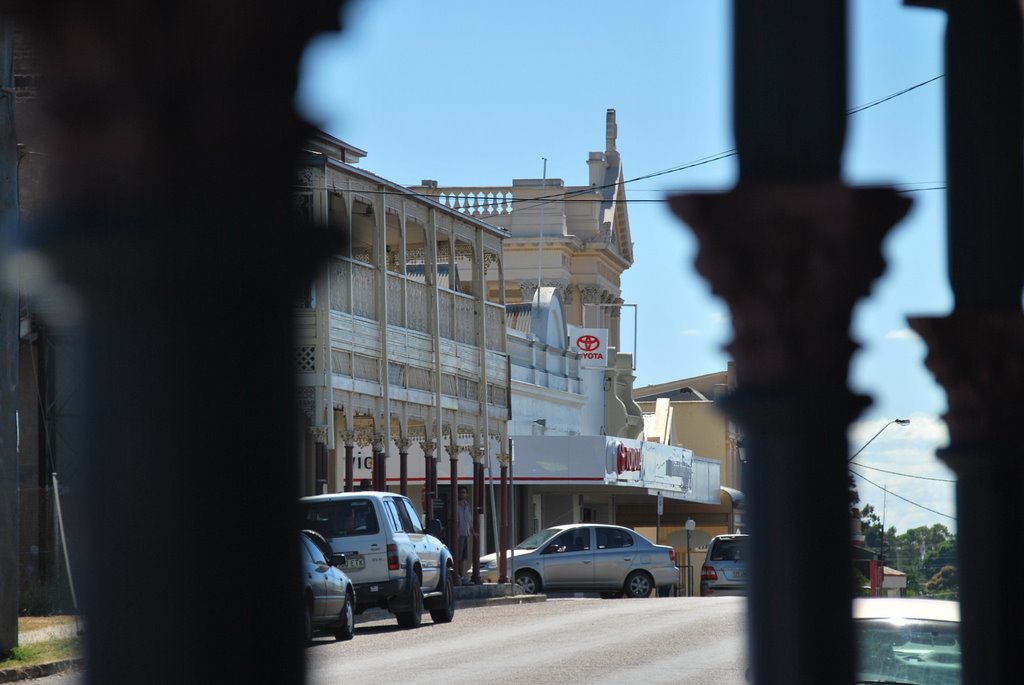
Photos of Inglewood
Inglewood Weather

Predicción: Clear sky
Temperatura: 26.5°
Humedad: 45%
Hora actual: 11:18 AM
Amanece: 06:15 AM
Anochece: 05:34 PM
Charters Towers, Australia
Latitude: -20.0759 // Longitude: 146.257
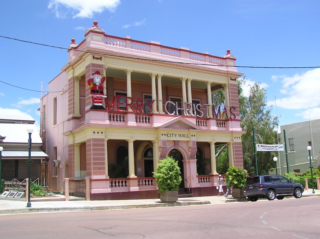
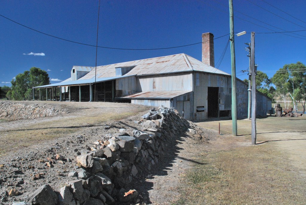
Photos of Charters Towers
Charters Towers Weather

Predicción: Scattered clouds
Temperatura: 27.9°
Humedad: 48%
Hora actual: 11:18 AM
Amanece: 06:26 AM
Anochece: 06:01 PM


