Distance between Green pin with letter A Imbil and Red pin with letter B Hopeland

126.82 mi Straight Distance

235.51 mi Driving Distance

4 hours 22 mins Estimated Driving Time

The straight distance between Imbil (Queensland) and Hopeland (Queensland) is 126.82 mi, but the driving distance is 235.51 mi.

It takes 1 day 23 hours to go from Imbil to Hopeland.

Driving directions from Imbil to Hopeland

Distance in kilometers

Straight distance: 204.05 km.      Route distance: 378.94 km

Imbil, Australia

Latitude: -26.4606 // Longitude: 152.674

Photos of Imbil

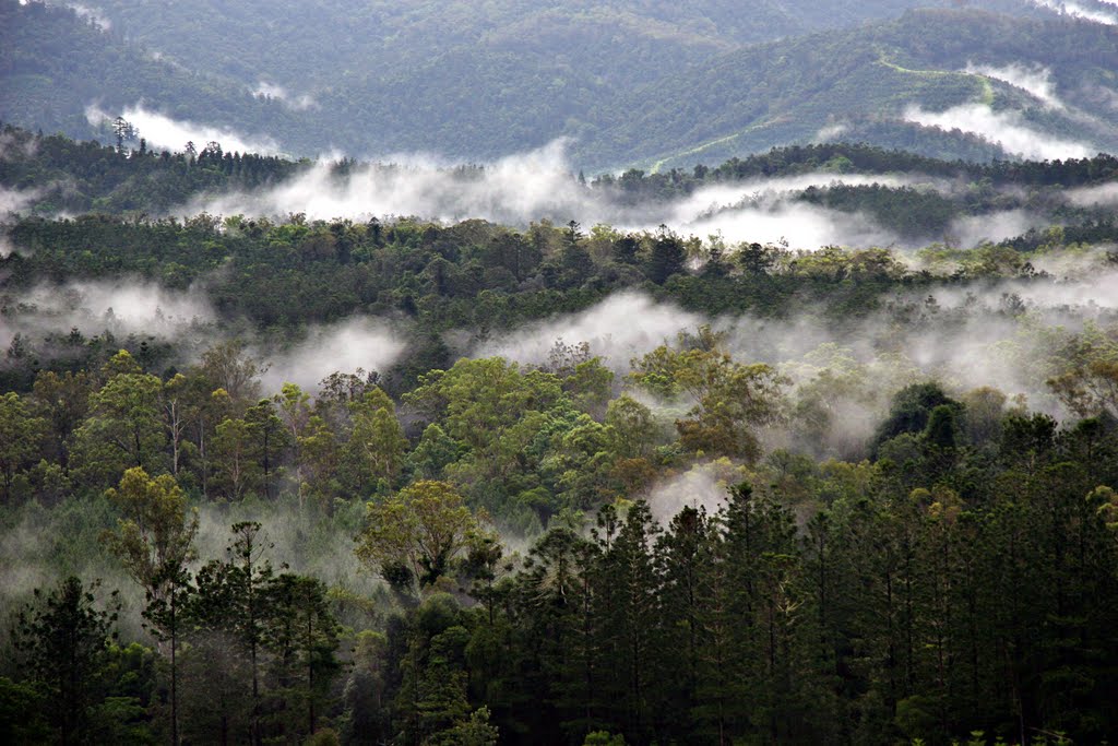
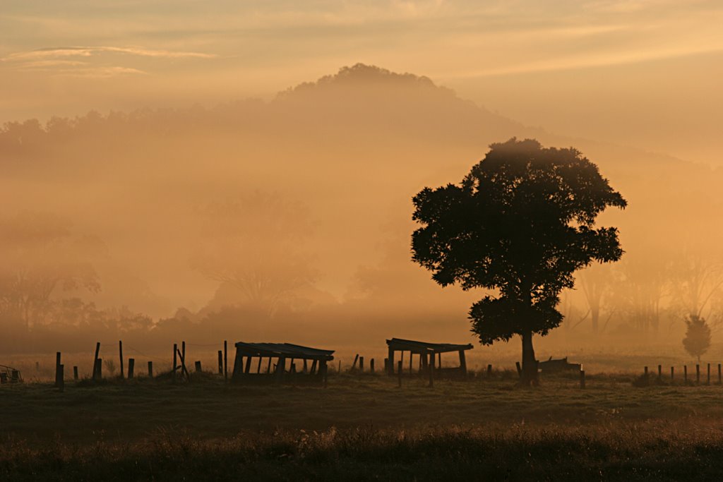
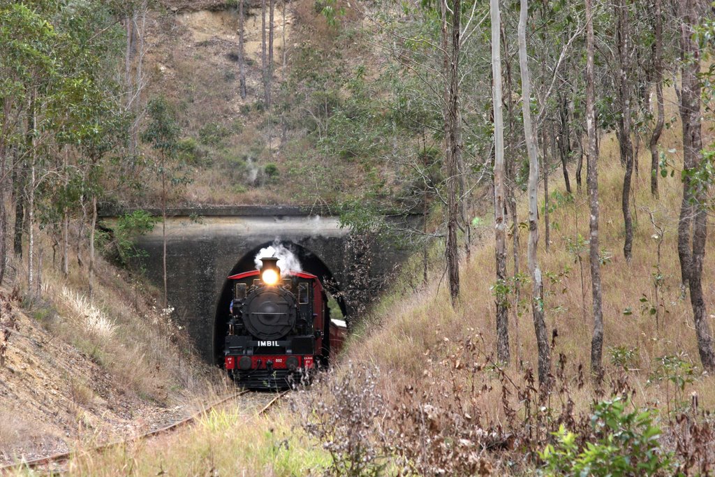
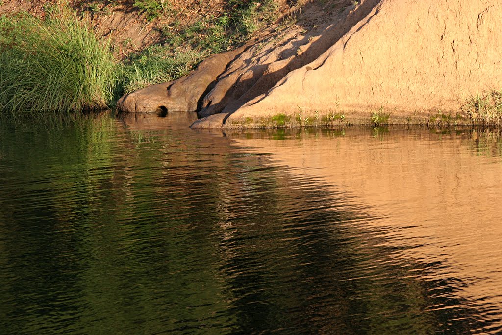
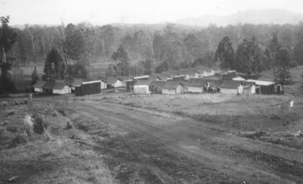
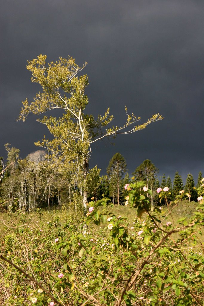
Imbil Island floats in the Fog before sunrise: Breath of Two Lovers in Sensual Embrace A Wet Summer at Imbil: warm mists caress the Imbil forests A Foggy Morning on Bollier Flat, Mary Valley, Queensland C17 (#802) emerges from the tunnel on the Mary Valley Line between Imbil and Kandanga, Queensland. Creative shot of Bunya Forest, Imbil State Forest, Queensland Platypus Burrow, Yabba Creek, Queensland Derrier Camp, Imbil State Forest, 1950 A rainforest tree screams out against a stormy background: a silent protest against clearfelling of the rainforest scrub that once clothed this hillside, and against the recent clearfelling of the hoop pine plantation that for 60 years took its place.

Imbil Weather

overcast clouds

Predicción: Overcast clouds
Temperatura: 22.3°
Humedad: 73%

Hora actual: 01:43 PM
Amanece: 06:06 AM
Anochece: 05:30 PM

Hopeland, Australia

Latitude: -26.8501 // Longitude: 150.667

Photos of Hopeland

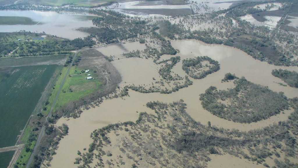
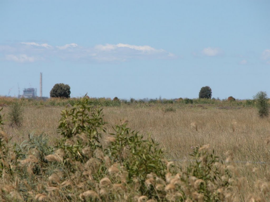
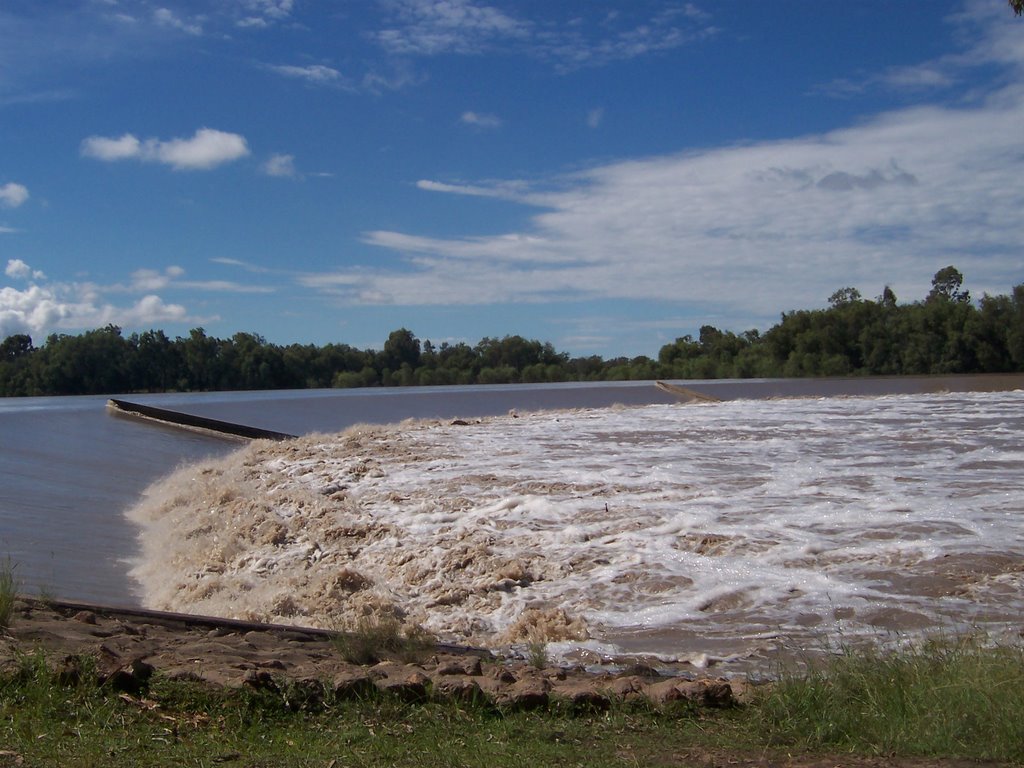
Chinchilla Weir - Aerial View 4 Jan 2011 Chinchilla Sunset Power Station Kogan Creek Power Station Downstream of Chinchilla Weir - Aerial View 4 Jan 2011 Chinchilla Weir - Aerial View 4 Jan 2011 Chinchilla Weir, Chinchilla, Qld. Australia Chinchilla weir in Flood Feb 2008

Hopeland Weather

overcast clouds

Predicción: Overcast clouds
Temperatura: 28.3°
Humedad: 52%

Hora actual: 01:43 PM
Amanece: 06:15 AM
Anochece: 05:37 PM