Distance between  Ilford and
  Evans Head
339.66 mi Straight Distance
476.69 mi Driving Distance
8 hours 14 mins Estimated Driving Time
The straight distance between Ilford (New South Wales) and Evans Head (New South Wales) is 339.66 mi, but the driving distance is 476.69 mi.
It takes to go from Ilford to Evans Head.
Driving directions from Ilford to Evans Head
Distance in kilometers
Straight distance: 546.51 km. Route distance: 767.00 km
Ilford, Australia
Latitude: -32.9636 // Longitude: 149.858
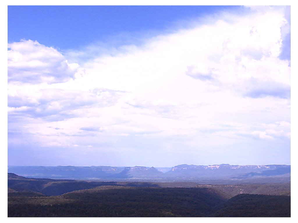
Photos of Ilford
Ilford Weather

Predicción: Scattered clouds
Temperatura: 18.7°
Humedad: 36%
Hora actual: 12:00 AM
Amanece: 08:24 PM
Anochece: 07:34 AM
Evans Head, Australia
Latitude: -29.1142 // Longitude: 153.428
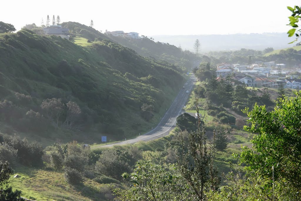
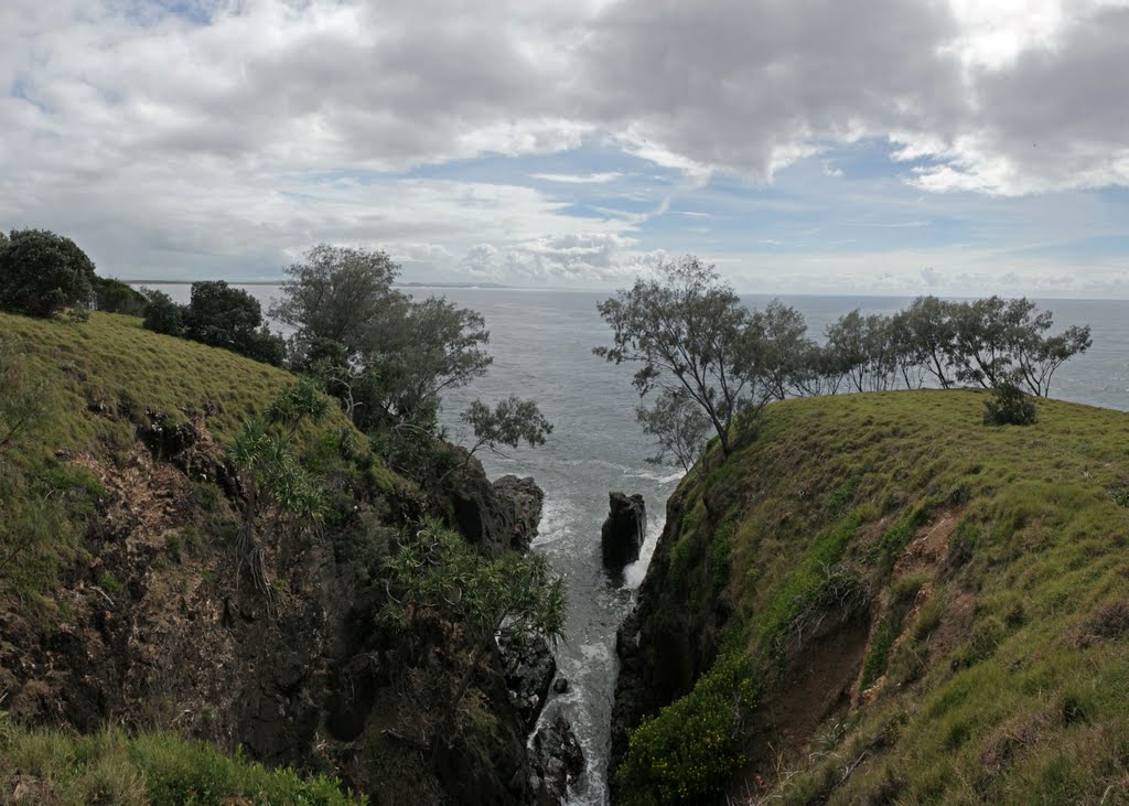
Photos of Evans Head
Evans Head Weather

Predicción: Scattered clouds
Temperatura: 25.4°
Humedad: 67%
Hora actual: 01:11 PM
Amanece: 06:06 AM
Anochece: 05:24 PM


