Distance between  Howes Creek and
  Buchan South
118.57 mi Straight Distance
258.40 mi Driving Distance
5 hours 6 mins Estimated Driving Time
The straight distance between Howes Creek (Victoria) and Buchan South (Victoria) is 118.57 mi, but the driving distance is 258.40 mi.
It takes to go from Howes Creek to Buchan South.
Driving directions from Howes Creek to Buchan South
Distance in kilometers
Straight distance: 190.78 km. Route distance: 415.76 km
Howes Creek, Australia
Latitude: -37.1403 // Longitude: 146.024
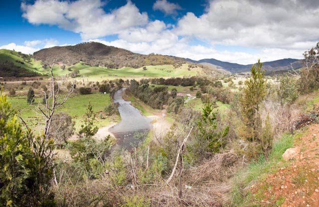
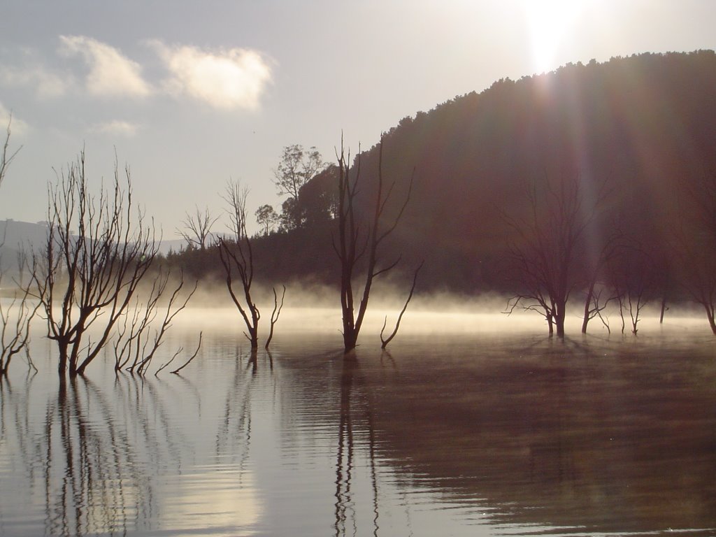
Photos of Howes Creek
Howes Creek Weather

Predicción: Few clouds
Temperatura: 17.5°
Humedad: 46%
Hora actual: 12:00 AM
Amanece: 08:45 PM
Anochece: 07:45 AM
Buchan South, Australia
Latitude: -37.5508 // Longitude: 148.12
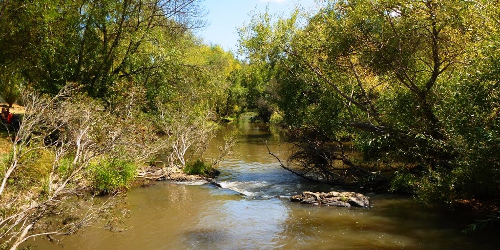
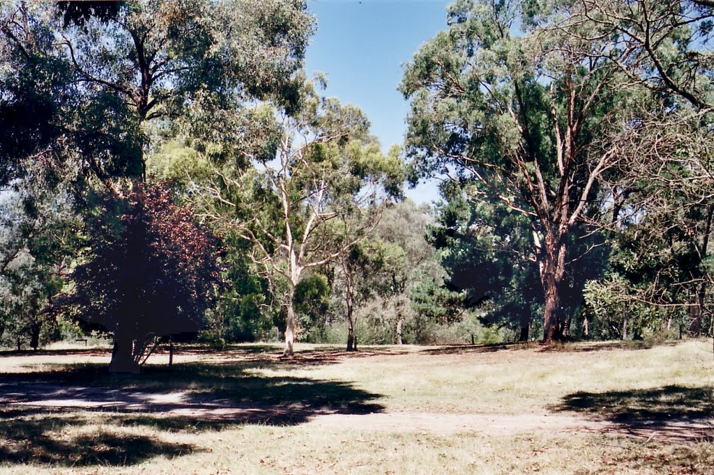
Photos of Buchan South
Buchan South Weather

Predicción: Broken clouds
Temperatura: 16.0°
Humedad: 43%
Hora actual: 12:00 AM
Amanece: 08:37 PM
Anochece: 07:36 AM


