Distance between  Hopetoun and
  Zumsteins
1,266.78 mi Straight Distance
1,740.54 mi Driving Distance
1 day 4 hours Estimated Driving Time
The straight distance between Hopetoun (Western Australia) and Zumsteins (Victoria) is 1,266.78 mi, but the driving distance is 1,740.54 mi.
It takes to go from Hopetoun to Zumsteins.
Driving directions from Hopetoun to Zumsteins
Distance in kilometers
Straight distance: 2,038.25 km. Route distance: 2,800.53 km
Hopetoun, Australia
Latitude: -33.9448 // Longitude: 120.126
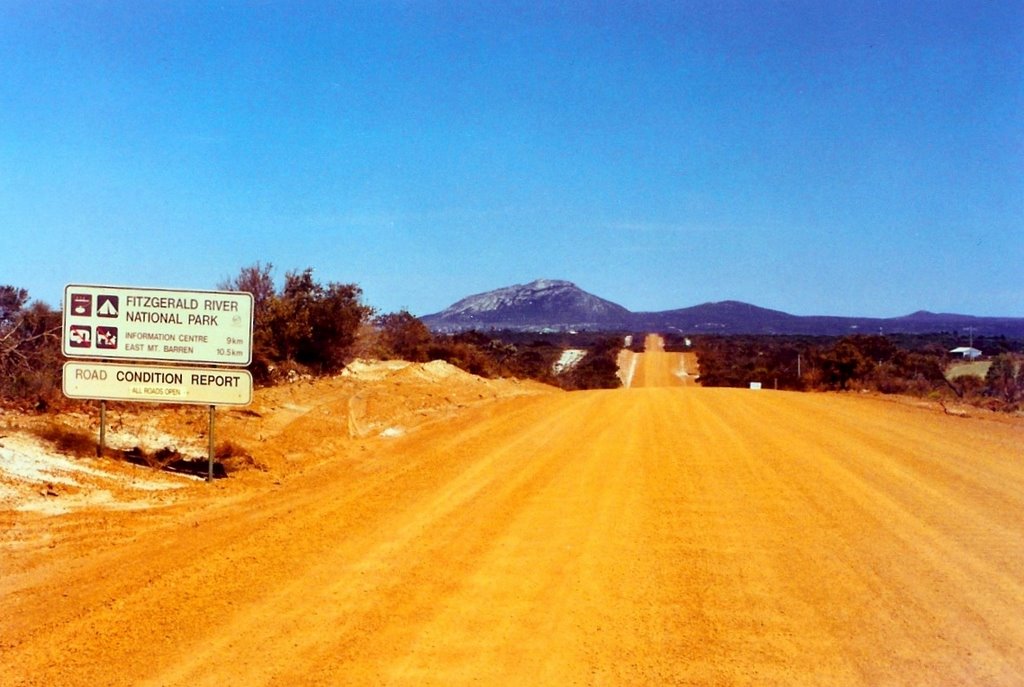
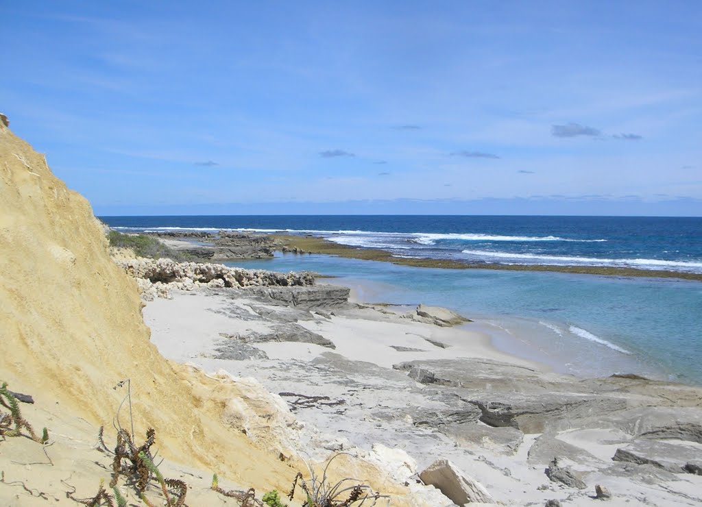
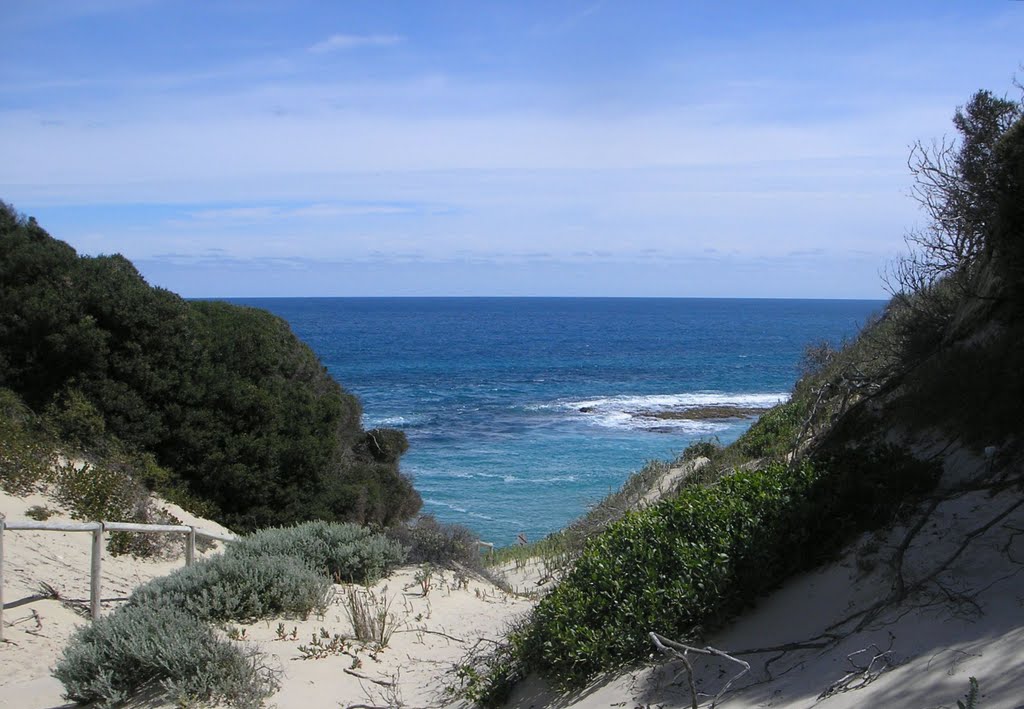
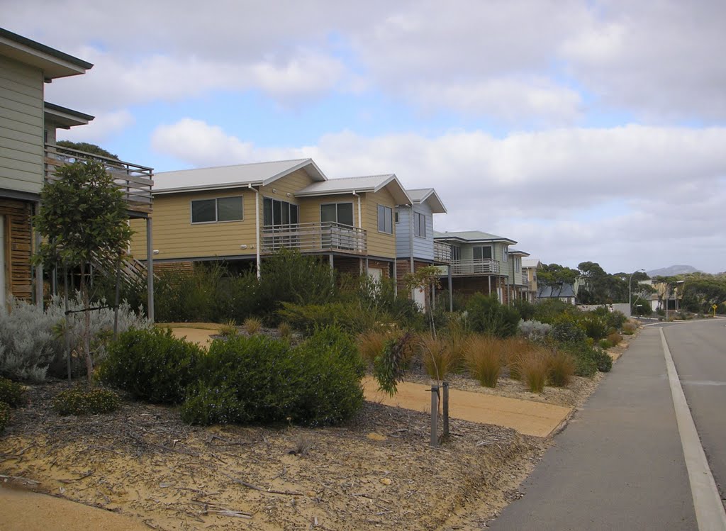
Photos of Hopetoun
Hopetoun Weather

Predicción: Clear sky
Temperatura: 17.2°
Humedad: 89%
Hora actual: 09:01 PM
Amanece: 06:23 AM
Anochece: 05:35 PM
Zumsteins, Australia
Latitude: -37.1218 // Longitude: 142.37
Photos of Zumsteins
Zumsteins Weather

Predicción: Overcast clouds
Temperatura: 9.5°
Humedad: 93%
Hora actual: 08:00 AM
Amanece: 04:57 AM
Anochece: 04:02 PM


