Distance between  Hopetoun and
  Grass Patch
104.05 mi Straight Distance
136.19 mi Driving Distance
2 hours 12 mins Estimated Driving Time
The straight distance between Hopetoun (Western Australia) and Grass Patch (Western Australia) is 104.05 mi, but the driving distance is 136.19 mi.
It takes 1 day 2 hours to go from Hopetoun to Grass Patch.
Driving directions from Hopetoun to Grass Patch
Distance in kilometers
Straight distance: 167.41 km. Route distance: 219.13 km
Hopetoun, Australia
Latitude: -33.9448 // Longitude: 120.126
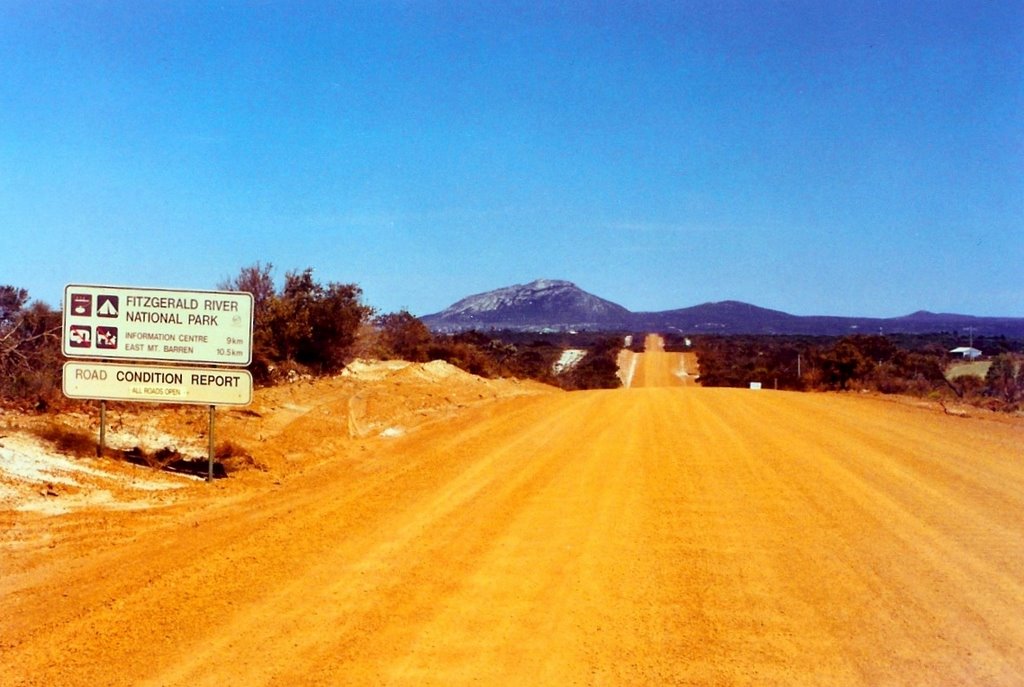
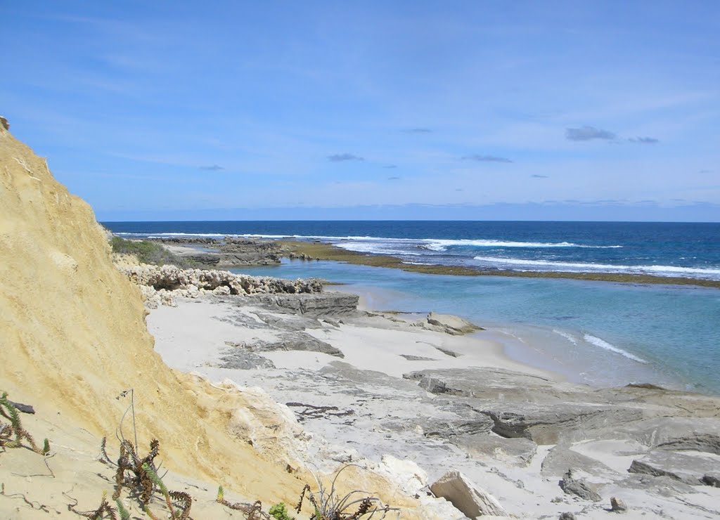
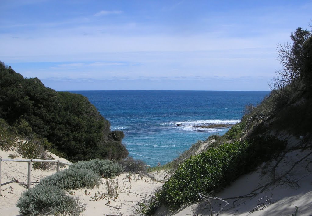
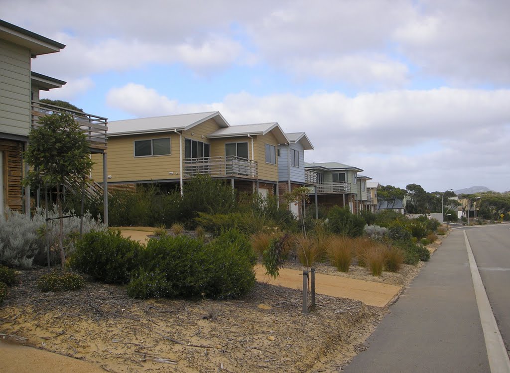
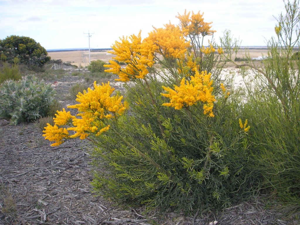
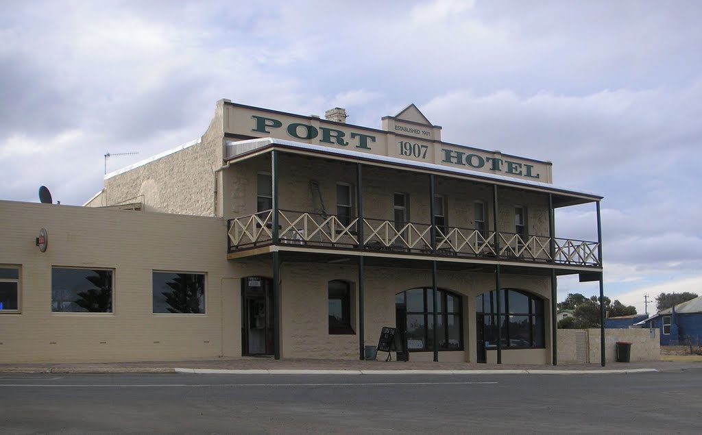
Photos of Hopetoun
Hopetoun Weather

Predicción: Clear sky
Temperatura: 20.2°
Humedad: 52%
Hora actual: 10:18 AM
Amanece: 06:25 AM
Anochece: 05:31 PM
Grass Patch, Australia
Latitude: -33.2283 // Longitude: 121.716
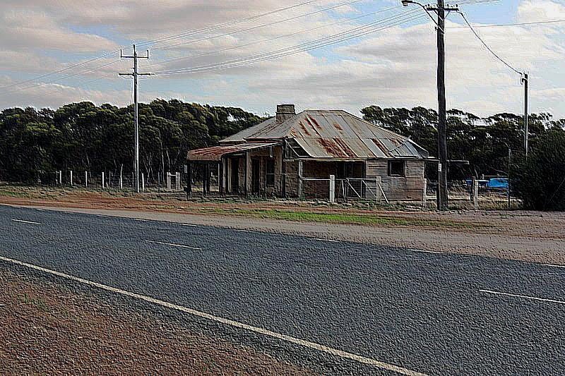
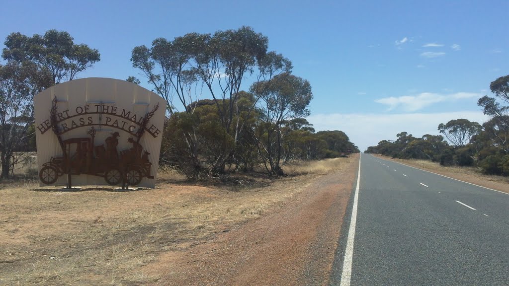
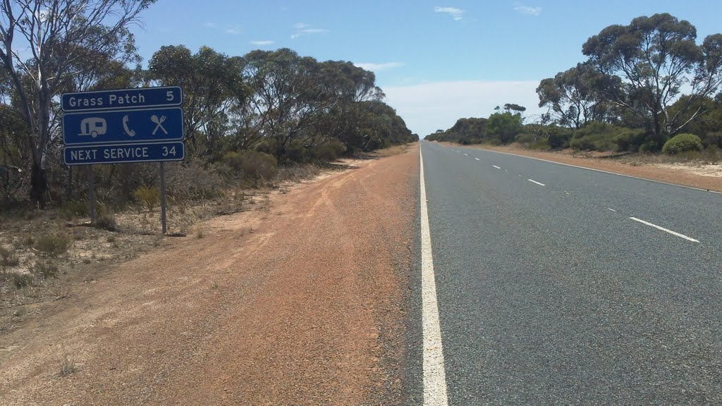
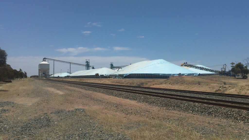
Photos of Grass Patch
Grass Patch Weather

Predicción: Clear sky
Temperatura: 18.6°
Humedad: 49%
Hora actual: 08:00 AM
Amanece: 06:18 AM
Anochece: 05:26 PM


