Distance between  Hopetoun Park and
  Lavers Hill
91.01 mi Straight Distance
134.26 mi Driving Distance
2 hours 49 mins Estimated Driving Time
The straight distance between Hopetoun Park (Victoria) and Lavers Hill (Victoria) is 91.01 mi, but the driving distance is 134.26 mi.
It takes to go from Hopetoun Park to Lavers Hill.
Driving directions from Hopetoun Park to Lavers Hill
Distance in kilometers
Straight distance: 146.44 km. Route distance: 216.03 km
Hopetoun Park, Australia
Latitude: -37.6938 // Longitude: 144.501
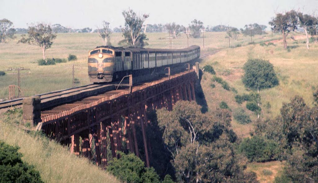
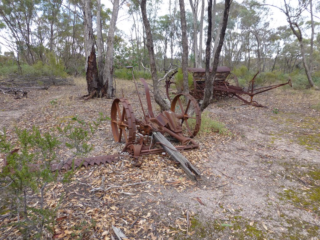
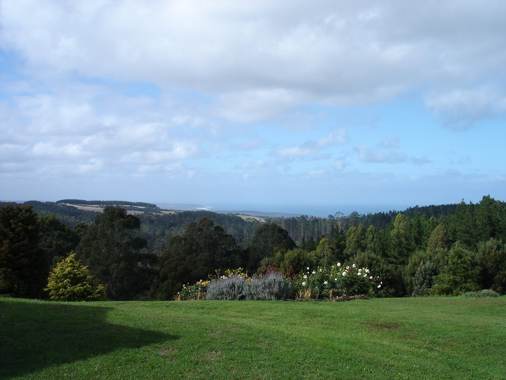
Photos of Hopetoun Park
Hopetoun Park Weather

Predicción: Broken clouds
Temperatura: 17.6°
Humedad: 60%
Hora actual: 04:20 PM
Amanece: 06:49 AM
Anochece: 05:53 PM
Lavers Hill, Australia
Latitude: -38.6807 // Longitude: 143.391
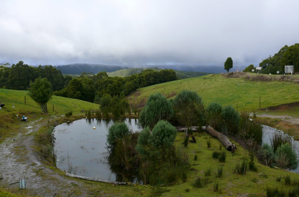
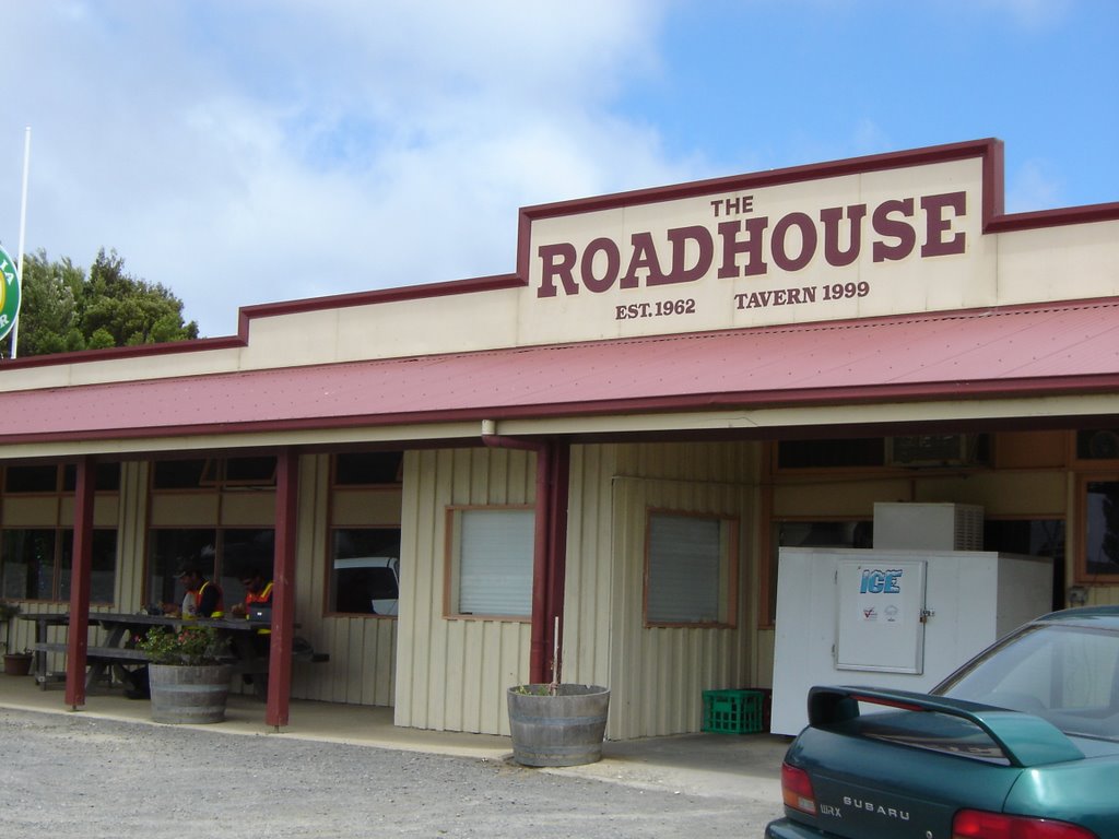
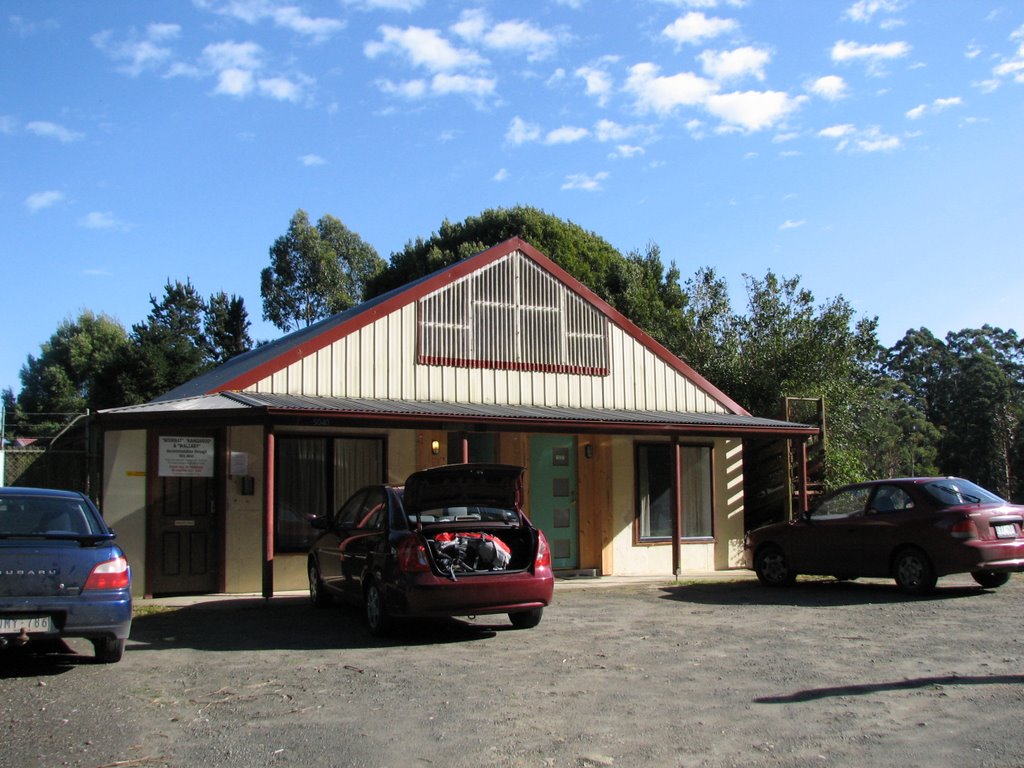
Photos of Lavers Hill
Lavers Hill Weather

Predicción: Overcast clouds
Temperatura: 10.7°
Humedad: 85%
Hora actual: 10:00 AM
Amanece: 06:55 AM
Anochece: 05:57 PM


