Distance between  Hill Top and
  Coraki
405.79 mi Straight Distance
521.95 mi Driving Distance
8 hours 56 mins Estimated Driving Time
The straight distance between Hill Top (New South Wales) and Coraki (New South Wales) is 405.79 mi, but the driving distance is 521.95 mi.
It takes to go from Hill Top to Coraki.
Driving directions from Hill Top to Coraki
Distance in kilometers
Straight distance: 652.91 km. Route distance: 839.81 km
Hill Top, Australia
Latitude: -34.3557 // Longitude: 150.495
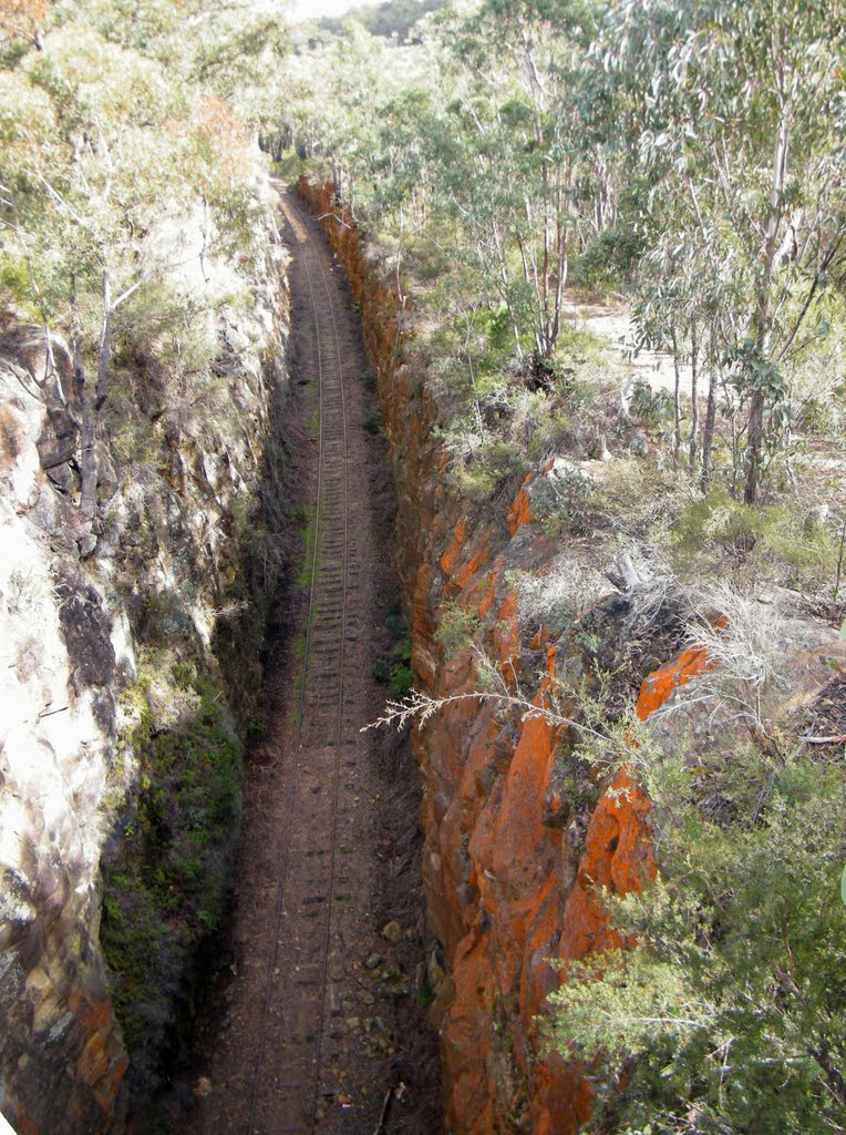
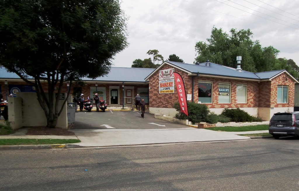
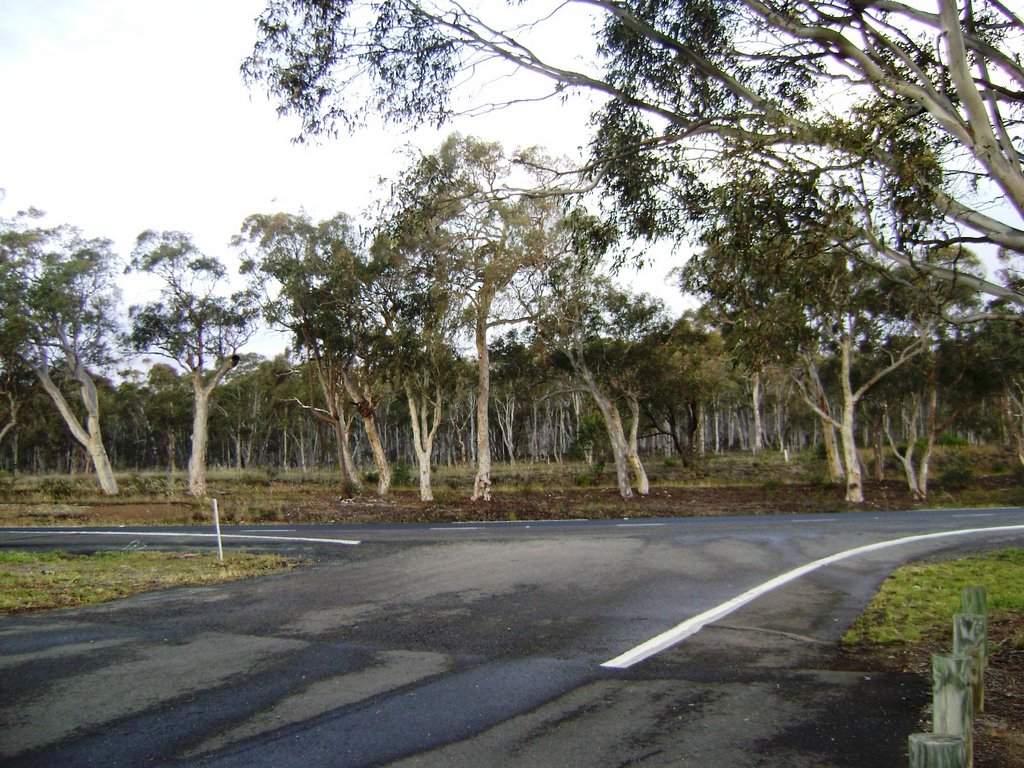
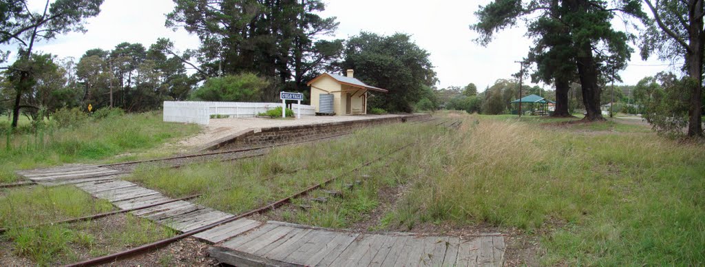
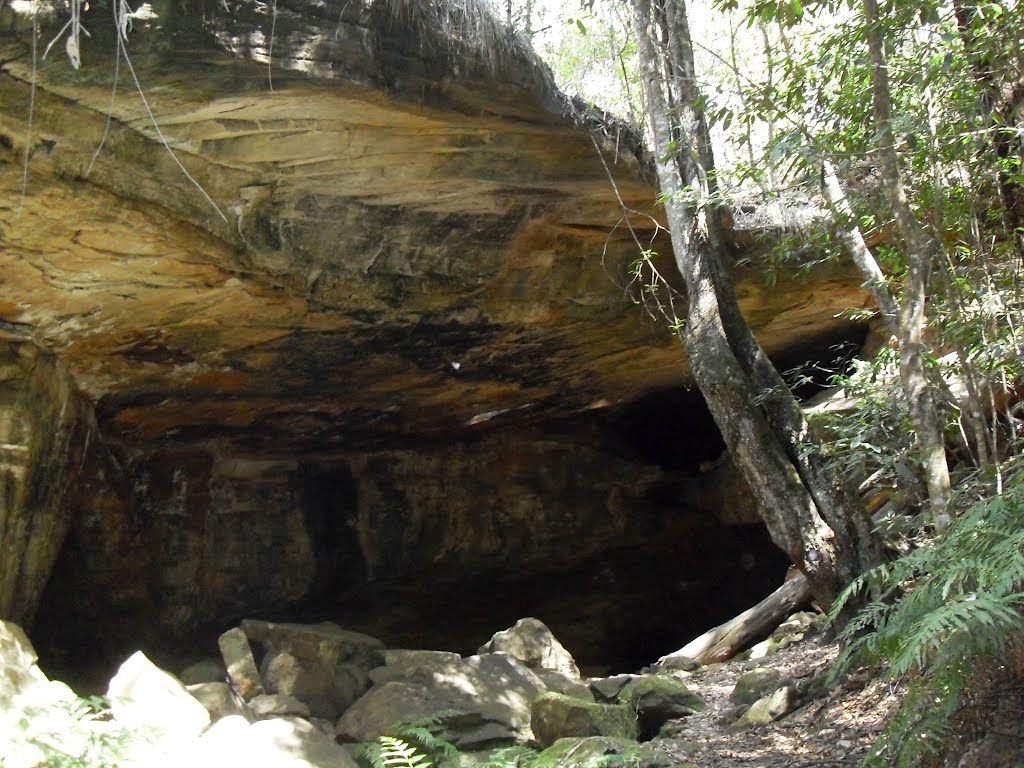
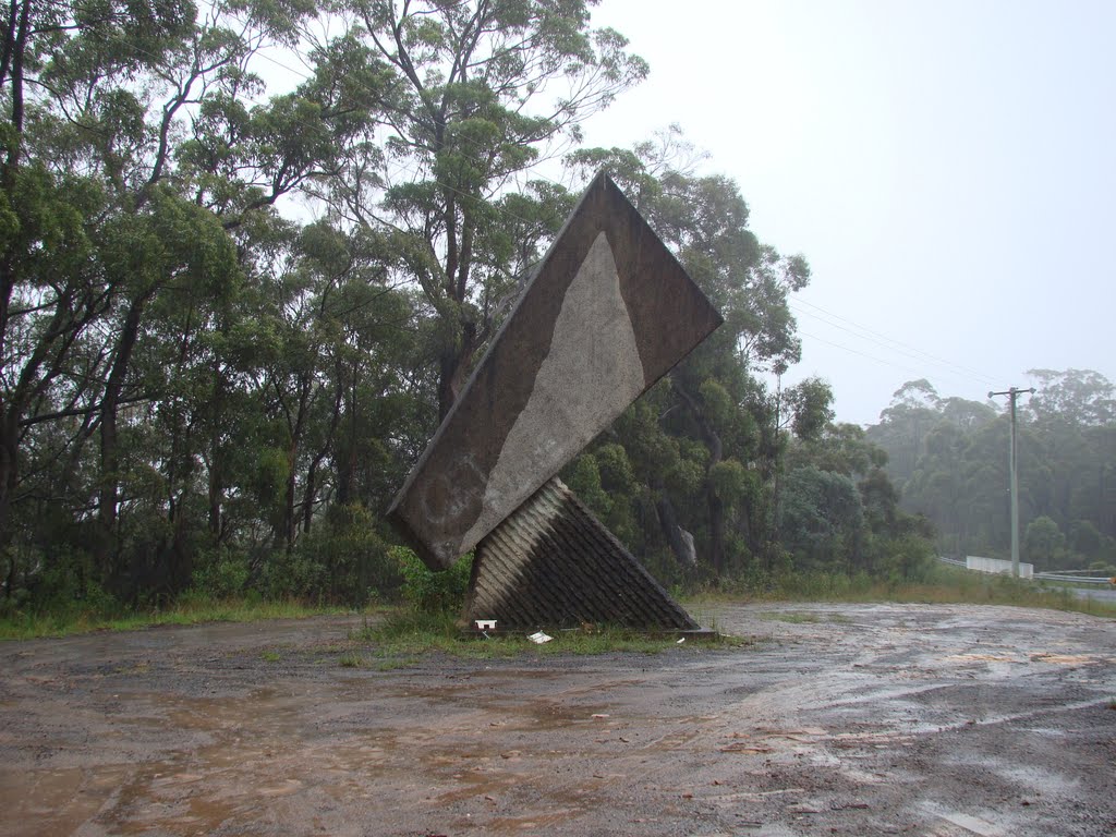
Photos of Hill Top
Hill Top Weather

Predicción: Clear sky
Temperatura: 9.5°
Humedad: 80%
Hora actual: 11:11 PM
Amanece: 06:23 AM
Anochece: 05:31 PM
Coraki, Australia
Latitude: -28.9829 // Longitude: 153.284
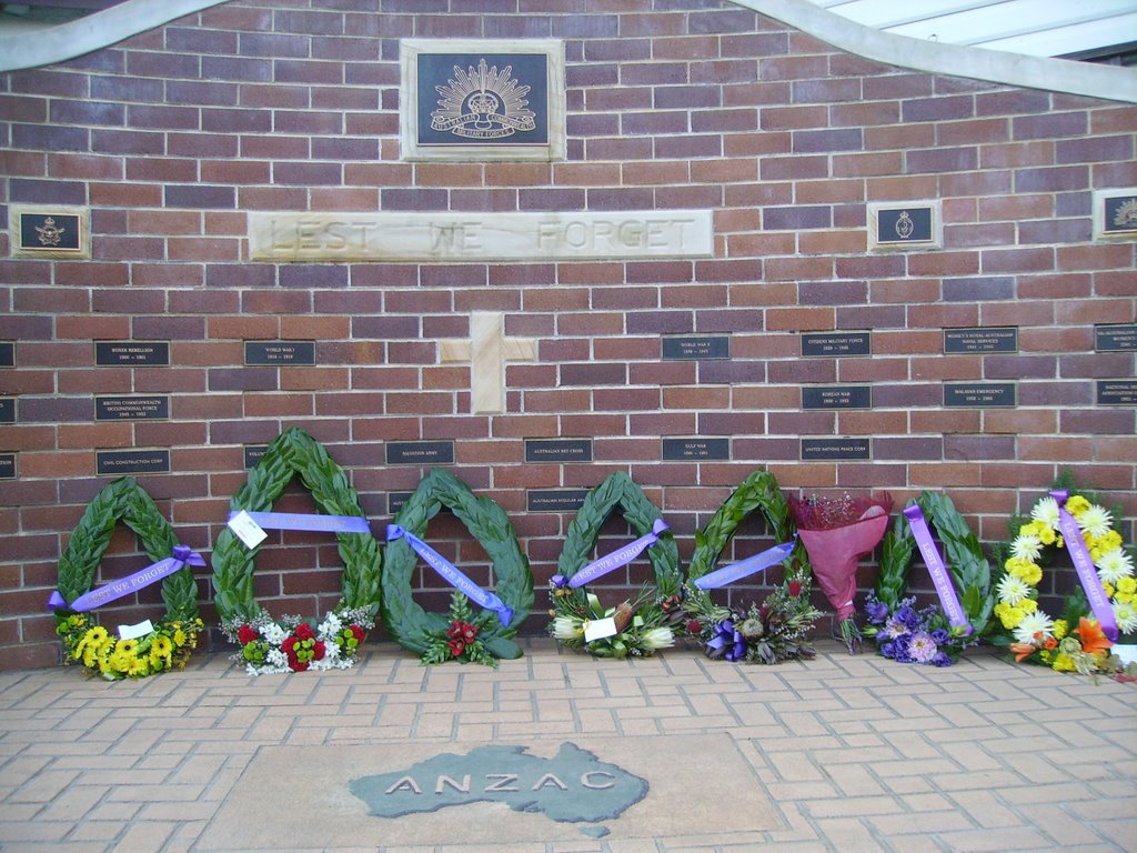
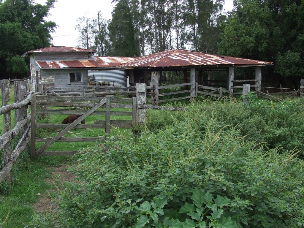
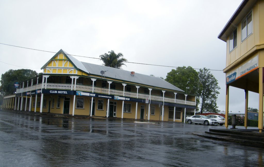
Photos of Coraki
Coraki Weather

Predicción: Few clouds
Temperatura: 16.6°
Humedad: 97%
Hora actual: 11:11 PM
Amanece: 06:06 AM
Anochece: 05:25 PM


