Distance between  Highlands and
  Spargo Creek
74.54 mi Straight Distance
131.68 mi Driving Distance
2 hours 36 mins Estimated Driving Time
The straight distance between Highlands (Victoria) and Spargo Creek (Victoria) is 74.54 mi, but the driving distance is 131.68 mi.
It takes to go from Highlands to Spargo Creek.
Driving directions from Highlands to Spargo Creek
Distance in kilometers
Straight distance: 119.94 km. Route distance: 211.88 km
Highlands, Australia
Latitude: -37.0915 // Longitude: 145.406
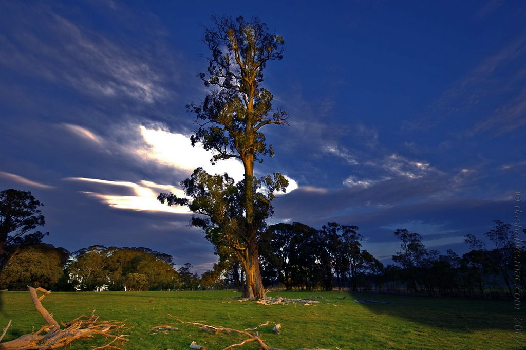
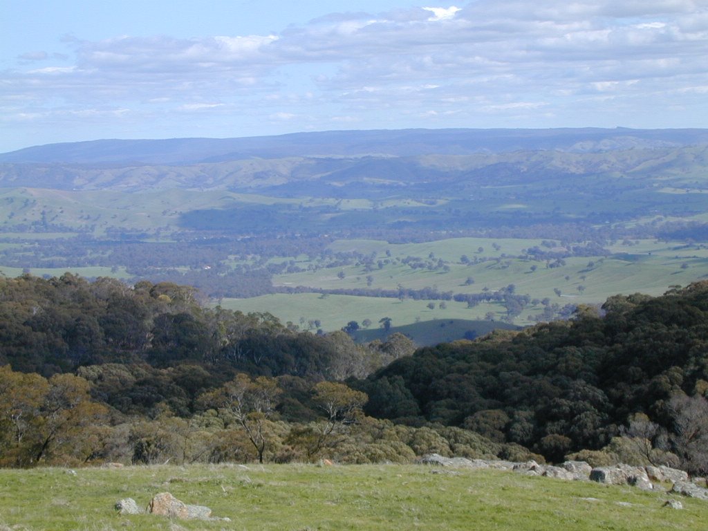
Photos of Highlands
Highlands Weather

Predicción: Overcast clouds
Temperatura: 8.4°
Humedad: 72%
Hora actual: 12:00 AM
Amanece: 08:47 PM
Anochece: 07:47 AM
Spargo Creek, Australia
Latitude: -37.4863 // Longitude: 144.144
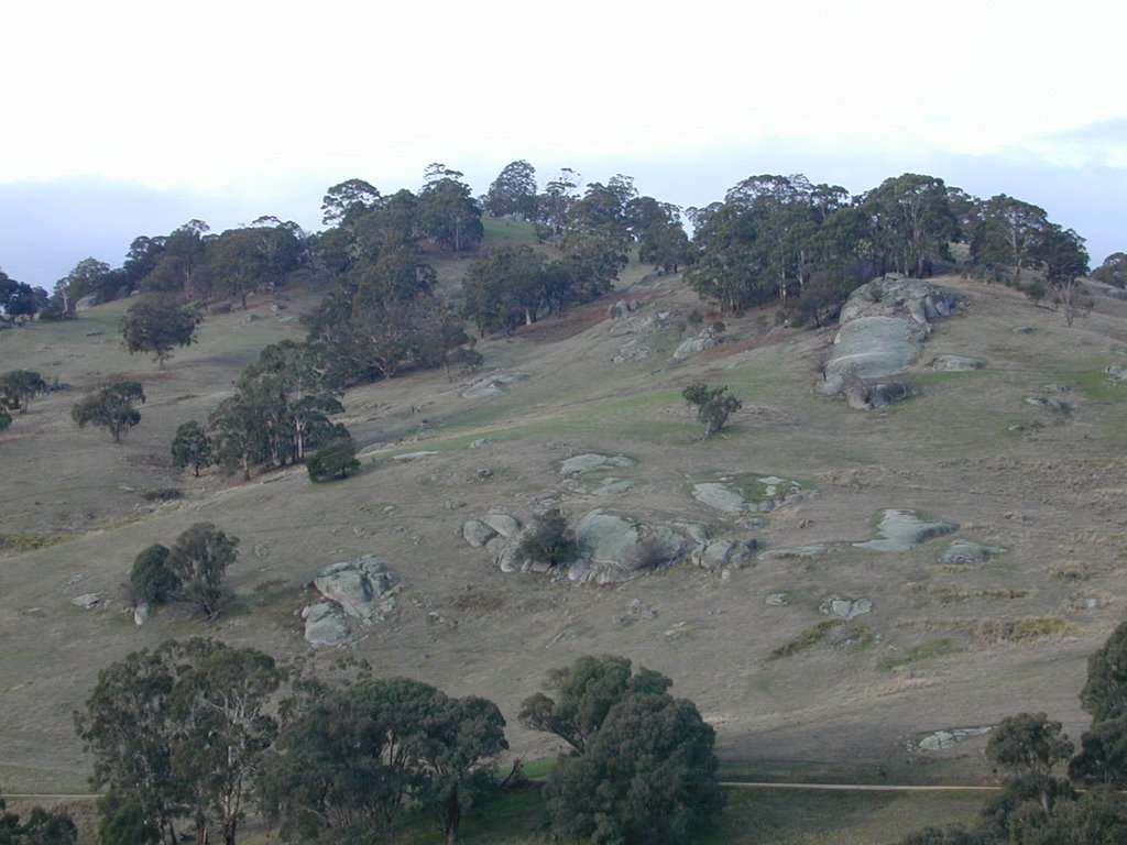
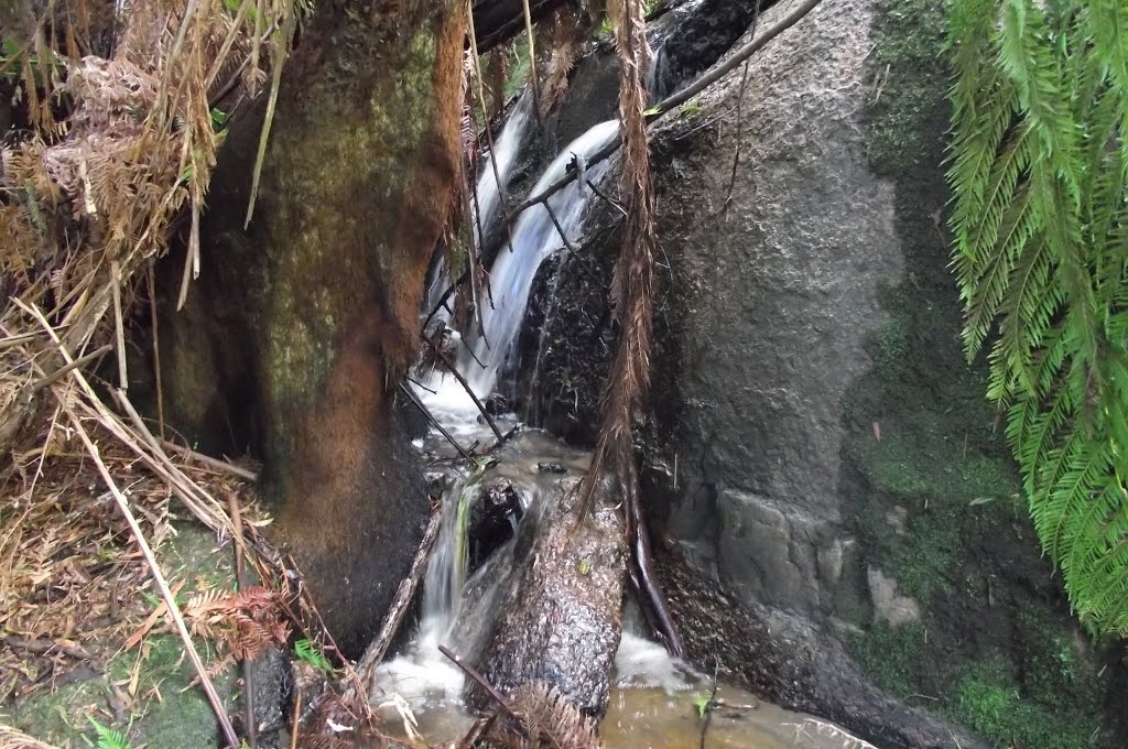
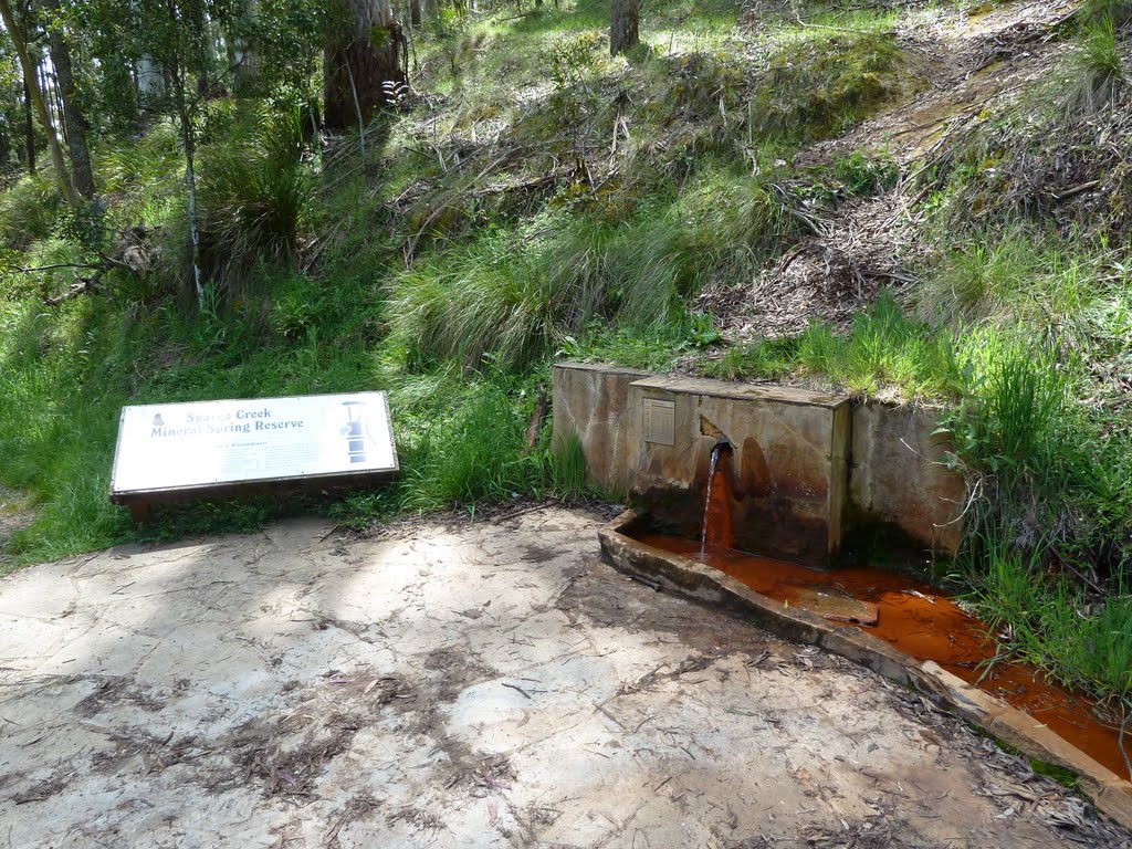
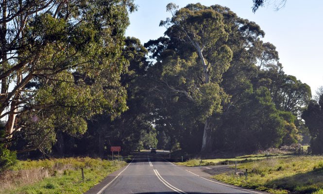
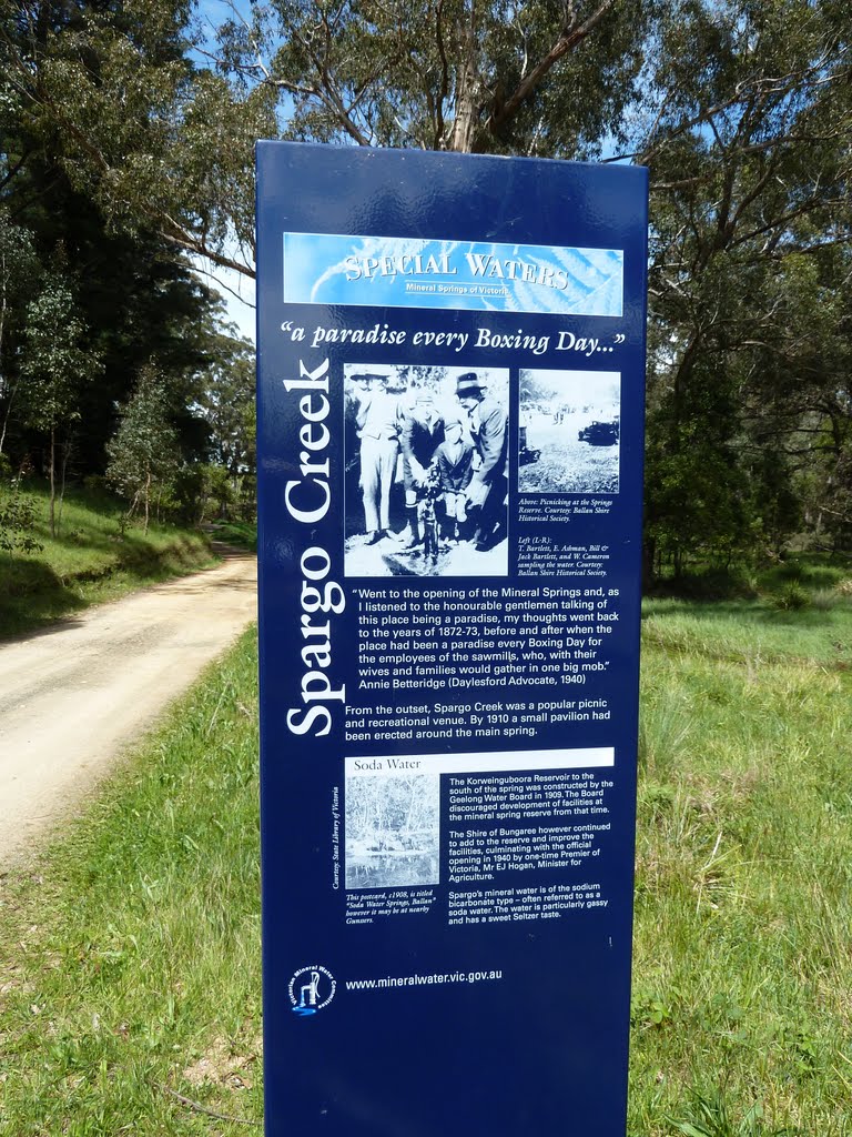
Photos of Spargo Creek
Spargo Creek Weather

Predicción: Light rain
Temperatura: 9.2°
Humedad: 97%
Hora actual: 12:00 AM
Amanece: 08:52 PM
Anochece: 07:52 AM


